Heald Wood
Wood, Forest in Westmorland South Lakeland
England
Heald Wood
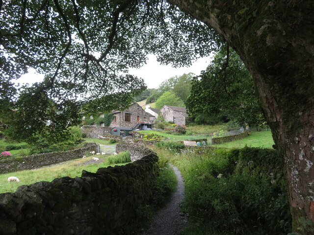
Heald Wood is a picturesque forest located in the historic county of Westmorland, England. Spread across an area of approximately 100 acres, this woodland is a haven for nature enthusiasts and outdoor adventurers. It is situated in close proximity to the charming village of Heald, which adds to its allure.
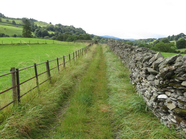
The wood is predominantly composed of native broadleaf trees, including oak, beech, and birch. These trees create a dense canopy that provides shelter and habitat for a diverse range of wildlife. Visitors can spot various species of birds, such as woodpeckers, owls, and thrushes, as well as small mammals like squirrels, rabbits, and badgers.
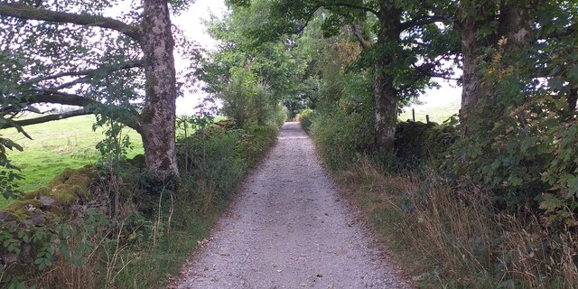
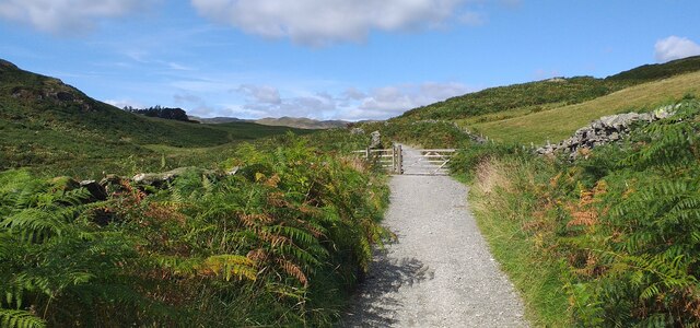
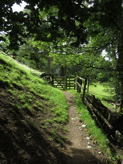
Numerous walking trails crisscross the wood, allowing visitors to explore its natural beauty at their own pace. These paths wind through ancient woodland, revealing stunning views of wildflowers, ferns, and moss-covered rocks. The forest floor is adorned with a rich carpet of bluebells in the spring, creating a breathtaking spectacle for all who visit.
Heald Wood is managed by a local conservation group, which strives to maintain its ecological integrity while also ensuring public access. As such, visitors are encouraged to follow designated trails and respect the environment by avoiding littering or disturbing wildlife.
With its tranquil atmosphere and diverse ecosystem, Heald Wood offers a serene escape from the hustle and bustle of everyday life. Whether one seeks a peaceful stroll, a birdwatching adventure, or simply a place to connect with nature, this enchanting woodland provides an ideal setting for all outdoor enthusiasts.
If you have any feedback on the listing, please let us know in the comments section below.
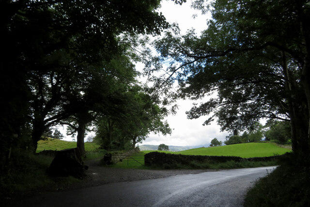
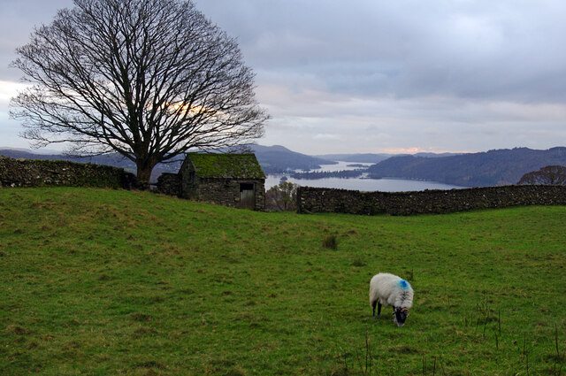
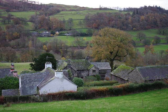
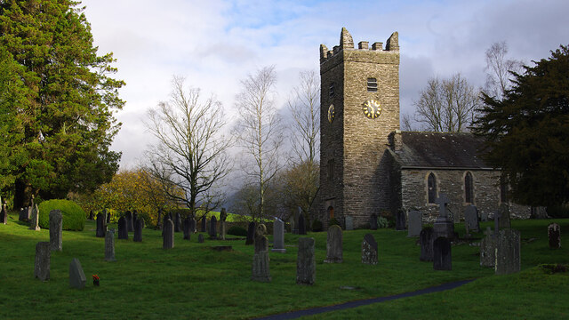
Heald Wood Images
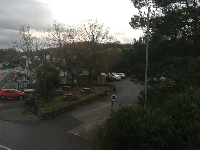
Images are sourced within 2km of 54.405026/-2.911838 or Grid Reference NY4001. Thanks to Geograph Open Source API. All images are credited.

Heald Wood is located at Grid Ref: NY4001 (Lat: 54.405026, Lng: -2.911838)
Administrative County: Cumbria
District: South Lakeland
Police Authority: Cumbria
What 3 Words
///whom.perused.renew. Near Windermere, Cumbria
Nearby Locations
Related Wikis

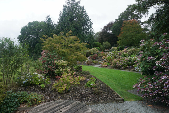
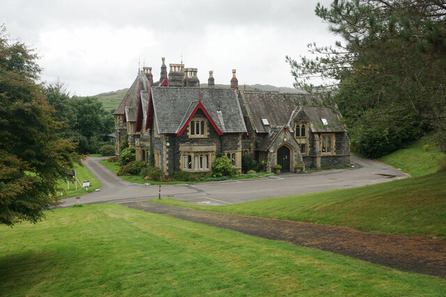
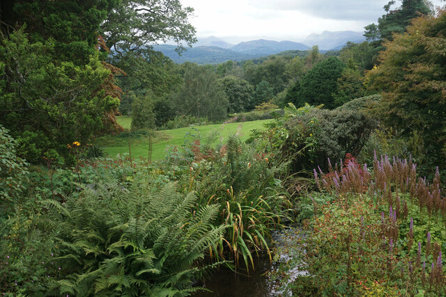
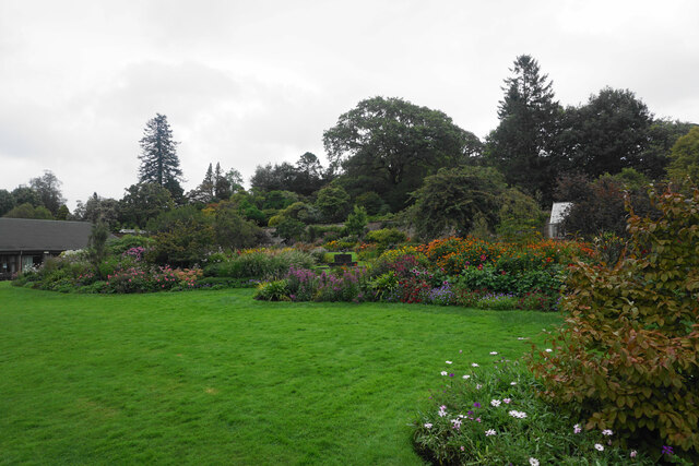
Holehird Gardens
Holehird Gardens is an extensive 10-acre site located near Windermere, Cumbria, England. It is the home of the Lakeland Horticultural Society. The garden...
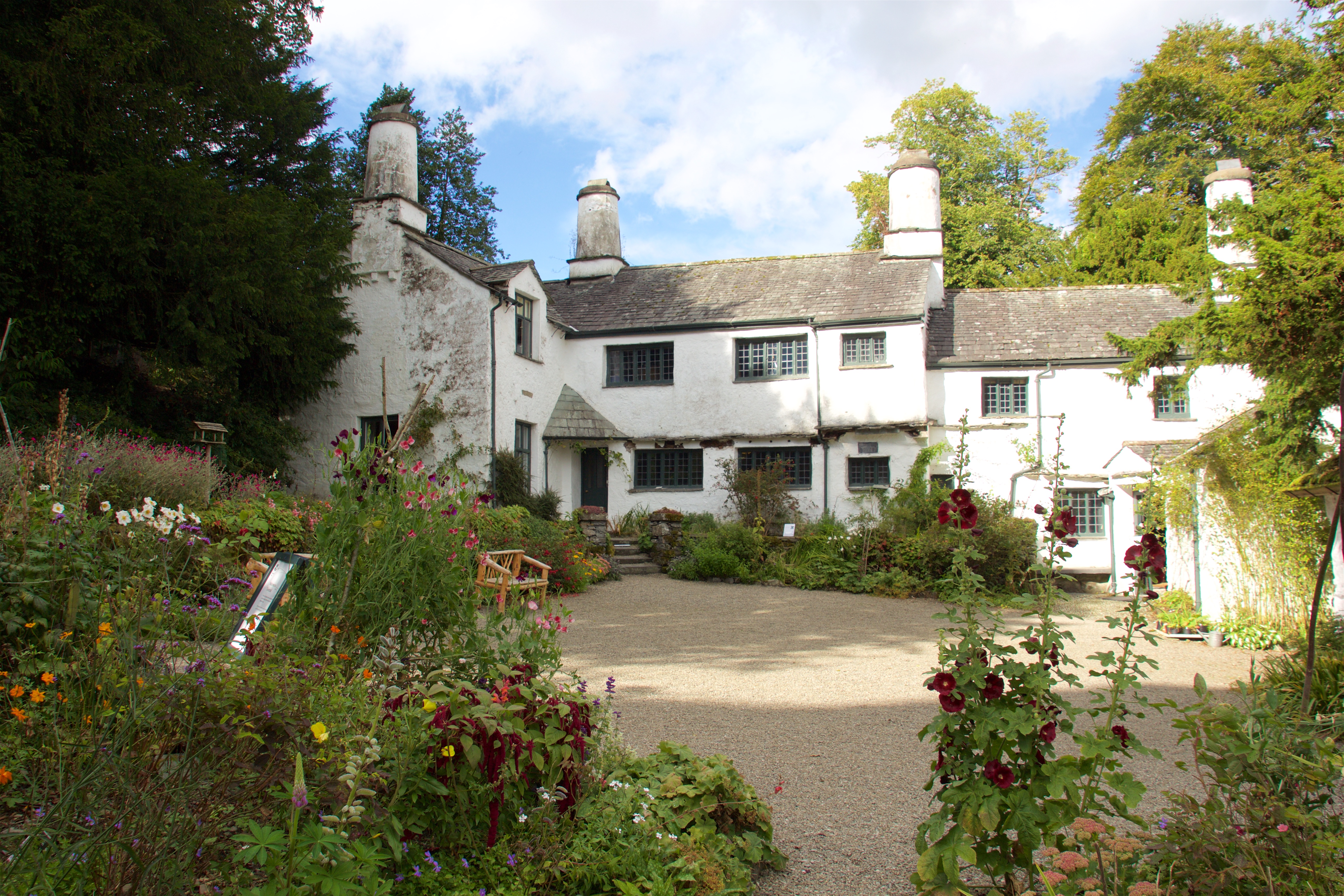
Townend
Townend is a 17th-century house located in Troutbeck, in the civil parish of Lakes, near Windermere, Cumbria, England, and in the ownership of the National...
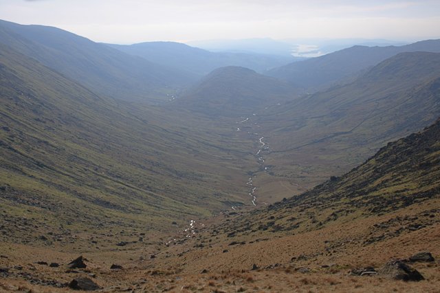
Trout Beck
The Trout Beck is a fast flowing stream of the Lake District in North West England. It is one of the main sources of replenishment for Windermere, and...

Windermere School
Windermere School is an independent, coeducational boarding and day school in the English Lake District. Founded in 1863, it has approximately 360 pupils...
Nearby Amenities
Located within 500m of 54.405026,-2.911838Have you been to Heald Wood?
Leave your review of Heald Wood below (or comments, questions and feedback).