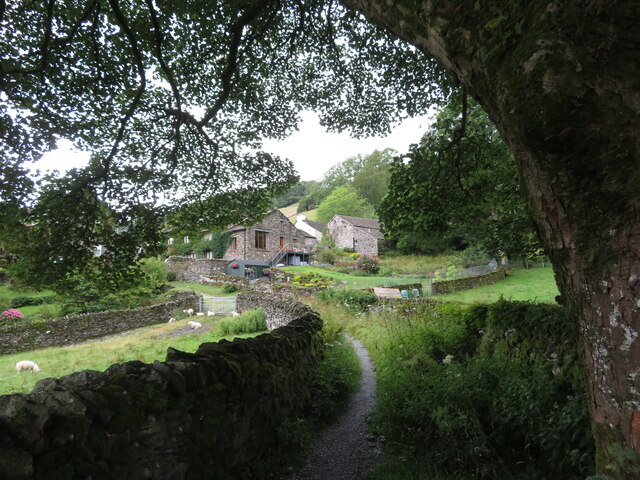
Benslop Wood
Wood, Forest in Westmorland South Lakeland
England
Benslop Wood
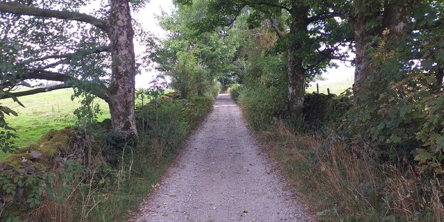
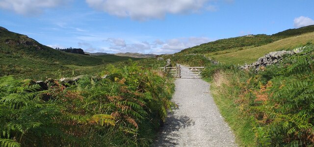
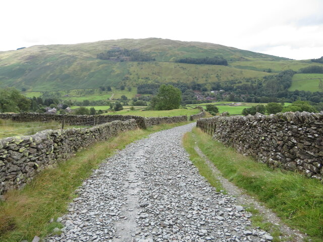
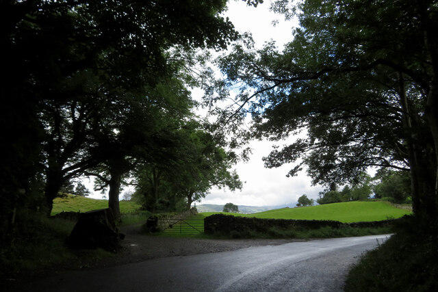
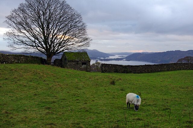
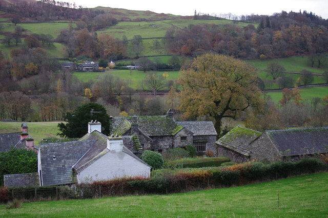
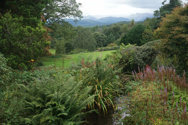
Benslop Wood is a picturesque woodland located in the county of Westmorland, in the northwestern region of England. Covering an area of approximately 500 acres, this enchanting forest is renowned for its natural beauty and diverse ecosystem.
The wood is predominantly made up of deciduous trees, including oak, beech, and ash, which provide a stunning display of colors during the autumn months. The dense canopy of the trees creates a cool and tranquil atmosphere, making it an ideal destination for nature lovers and hikers.
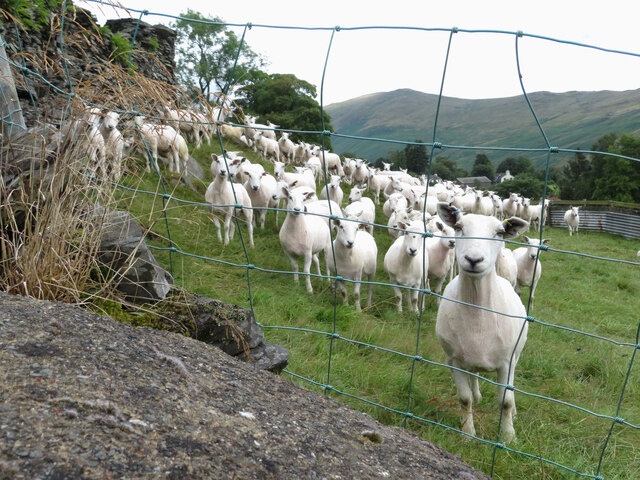
Benslop Wood is home to a wide range of wildlife, including various bird species, such as woodpeckers and owls, as well as small mammals like foxes, badgers, and squirrels. The forest floor is adorned with an array of wildflowers and ferns, adding to its charm and biodiversity.
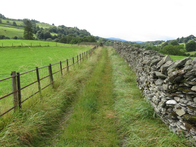
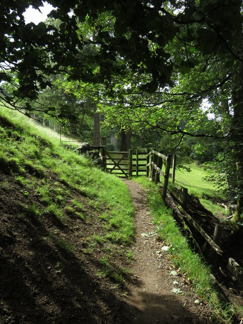
The wood offers several well-maintained walking trails that wind through its enchanting landscape, providing visitors with opportunities to explore and immerse themselves in nature. There are also designated picnic areas where visitors can relax and enjoy a meal amidst the peaceful surroundings.
Benslop Wood is part of a larger network of woodlands in the area, forming an important ecological corridor for wildlife. The management of the wood is overseen by local conservation organizations, ensuring that it remains a haven for flora and fauna.
Overall, Benslop Wood is a true gem of Westmorland, offering visitors a tranquil escape from the hustle and bustle of everyday life, while providing a valuable habitat for a diverse range of plants and animals.
If you have any feedback on the listing, please let us know in the comments section below.
Benslop Wood Images
Images are sourced within 2km of 54.407138/-2.9130558 or Grid Reference NY4001. Thanks to Geograph Open Source API. All images are credited.

Benslop Wood is located at Grid Ref: NY4001 (Lat: 54.407138, Lng: -2.9130558)
Administrative County: Cumbria
District: South Lakeland
Police Authority: Cumbria
What 3 Words
///presume.gravest.guesswork. Near Windermere, Cumbria
Nearby Locations
Related Wikis
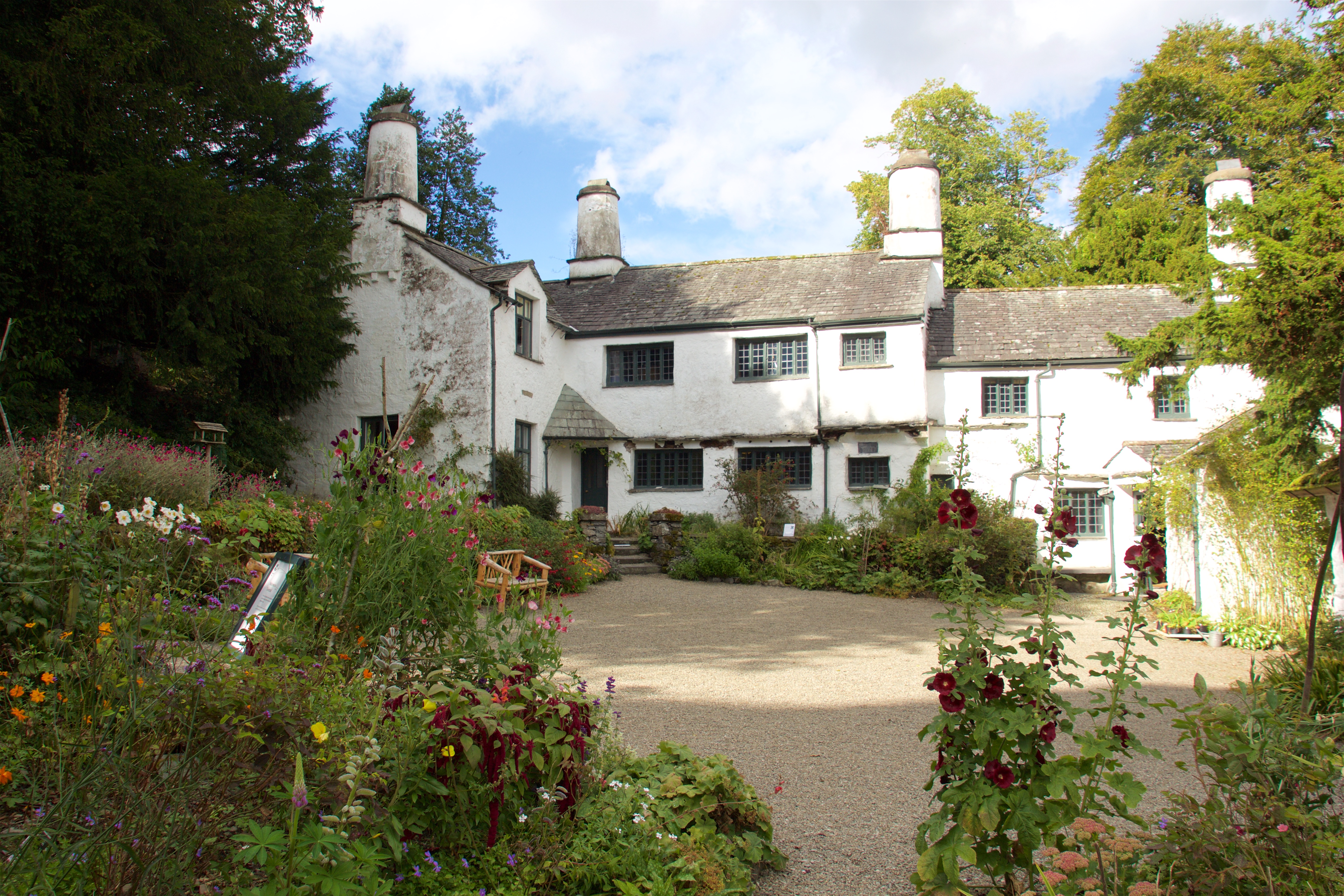
Townend
Townend is a 17th-century house located in Troutbeck, in the civil parish of Lakes, near Windermere, Cumbria, England, and in the ownership of the National...
Trout Beck
The Trout Beck is a fast flowing stream of the Lake District in North West England. It is one of the main sources of replenishment for Windermere, and...

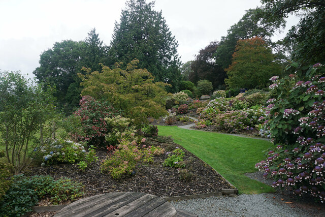
Holehird Gardens
Holehird Gardens is an extensive 10-acre site located near Windermere, Cumbria, England. It is the home of the Lakeland Horticultural Society. The garden...

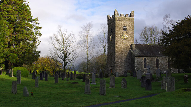
Jesus Church, Troutbeck
Jesus Church is in the village of Troutbeck in the Lake District, Cumbria, England. It is an active Anglican parish church in the deanery of Windermere...
Troutbeck, Lakes
Troutbeck is a village and former civil parish, now in the parish of Lakes, in Westmorland and Furness unitary authority in the ceremonial county of...

Windermere School
Windermere School is an independent, coeducational boarding and day school in the English Lake District. Founded in 1863, it has approximately 360 pupils...

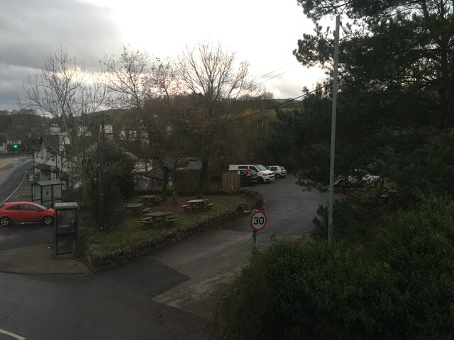
Troutbeck Bridge
Troutbeck Bridge is a village in the civil parish of Windermere and Bowness, in the Westmorland and Furness district, in the ceremonial county of Cumbria...

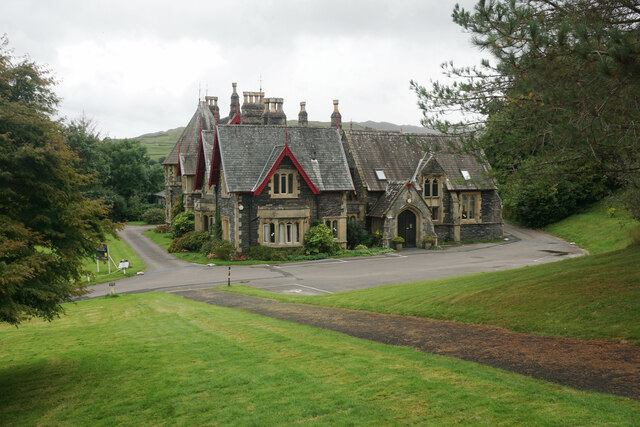
Holbeck Ghyll
Holbeck Ghyll is a restaurant located in Windermere, Cumbria, England. "The late 19th century building was once Lord Lonsdale's hunting lodge and only...
Nearby Amenities
Located within 500m of 54.407138,-2.9130558Have you been to Benslop Wood?
Leave your review of Benslop Wood below (or comments, questions and feedback).