Horeston Grange

Settlement in Warwickshire Nuneaton and Bedworth

England

Horeston Grange

Virgin Pendolino powers through Nuneaton If you are on the platform as the train passes, you feel the shock wave of air - stand well back!
Virgin Pendolino powers through Nuneaton Credit: Richard Kay

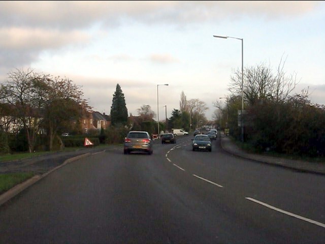
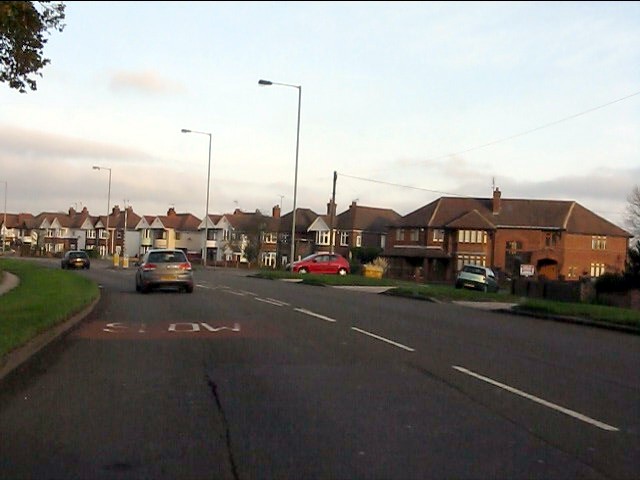
Horeston Grange is a residential area located in Warwickshire, England. It is situated on the eastern outskirts of the town of Nuneaton, approximately two miles from the town center. The area is predominantly made up of residential properties, ranging from detached houses to apartments, providing a diverse range of housing options for its residents.

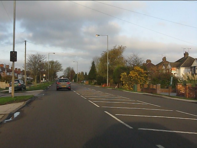
Horeston Grange benefits from its close proximity to major transportation links, including the A444 road, which connects it to the nearby towns of Coventry and Hinckley. The area also benefits from good public transportation, with regular bus services operating to and from Nuneaton town center.

In terms of amenities, Horeston Grange offers its residents a range of facilities within close proximity. There are several local shops, including a convenience store and a pharmacy, catering to everyday needs. The area also boasts a community center, providing spaces for various activities and events.

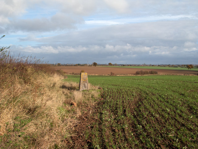
For outdoor enthusiasts, there are several green spaces nearby, including Horeston Grange Park. This park offers ample opportunities for recreation, with open fields, play areas, and walking paths. Additionally, the nearby Hartshill Hayes Country Park provides further options for outdoor activities, such as hiking and cycling.

Horeston Grange is served by several schools, including Horeston Grange Primary School, providing education for children in the area.

Overall, Horeston Grange offers a pleasant residential environment with a range of amenities and convenient transportation links, making it an attractive place to live in Warwickshire.

If you have any feedback on the listing, please let us know in the comments section below.

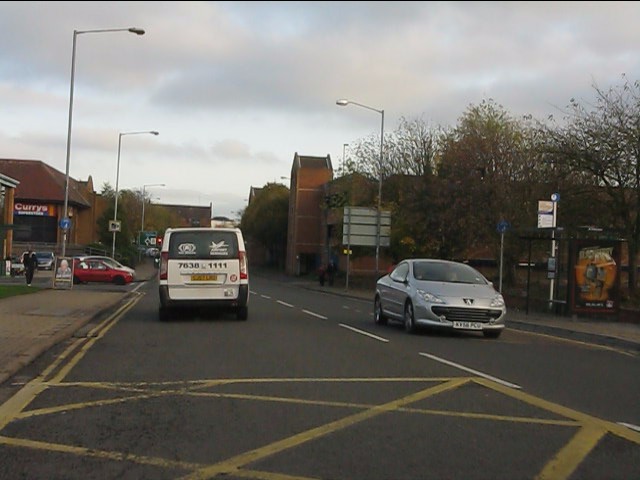
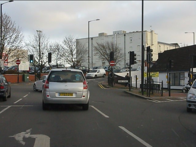
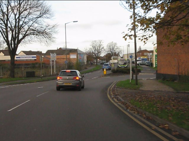
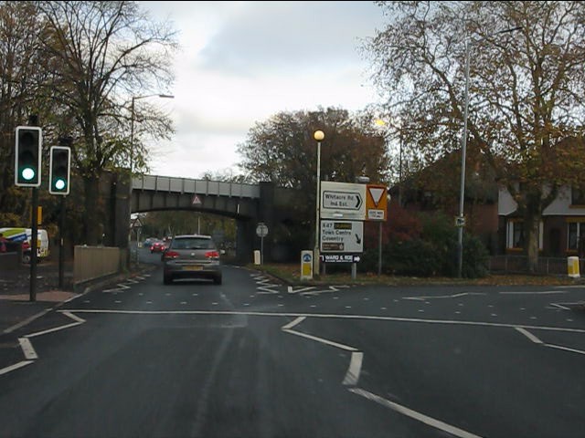
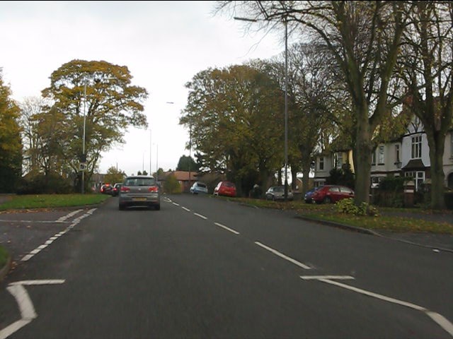
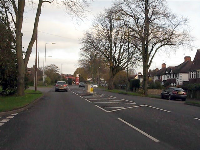
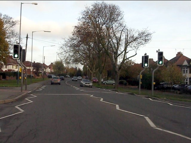
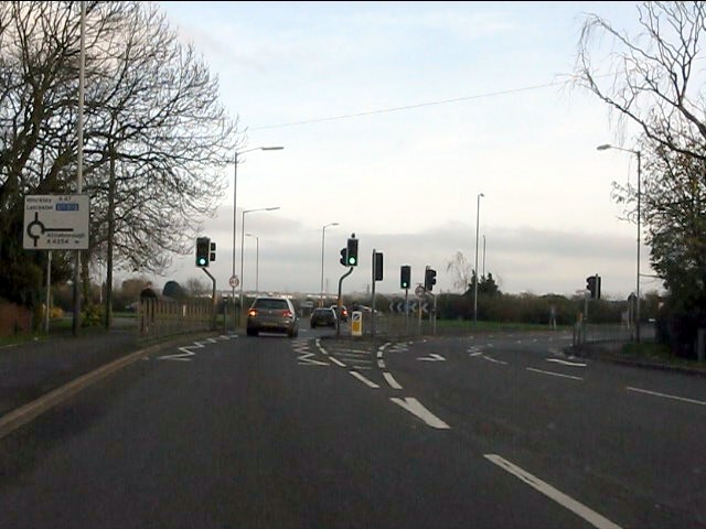
Horeston Grange Images

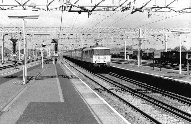
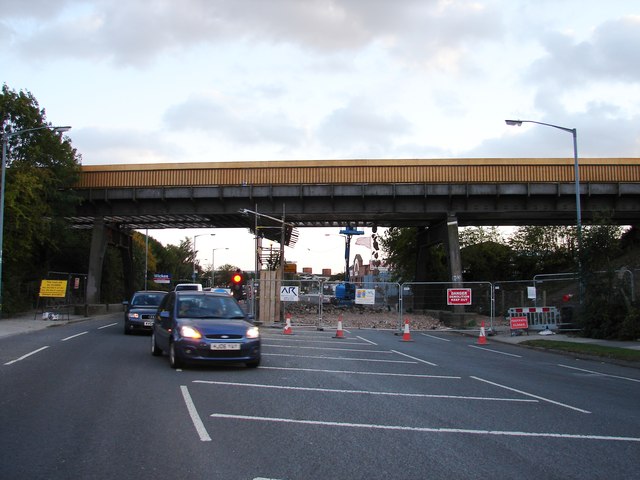
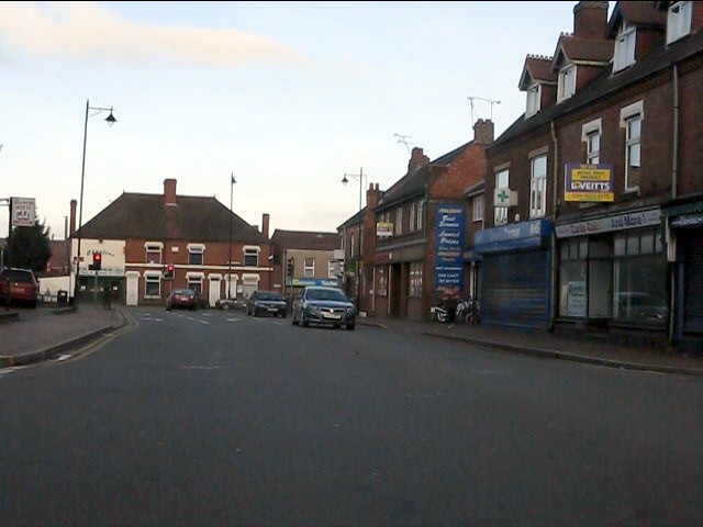
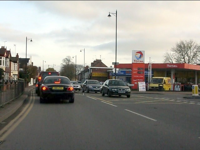
Images are sourced within 2km of 52.52523/-1.4468061 or Grid Reference SP3792. Thanks to Geograph Open Source API. All images are credited.

Virgin Pendolino powers through Nuneaton If you are on the platform as the train passes, you feel the shock wave of air - stand well back!
Virgin Pendolino powers through Nuneaton
If you are on the platform as the train passes, you feel the shock wave of air - stand well back!
Class 86 at Nuneaton Station, 1987 Class 86 electric locomotive No 86242 runs through Nuneaton station with a train for London Euston in the summer of 1987
Class 86 at Nuneaton Station, 1987
Class 86 electric locomotive No 86242 runs through Nuneaton station with a train for London Euston in the summer of 1987
Bridge removal The former railway bridge at Weddington Road in process of removal.
Bridge removal
The former railway bridge at Weddington Road in process of removal.
Northern end of Manor Court Road
Saturday traffic trying to enter Nuneaton Queues everywhere!
Saturday traffic trying to enter Nuneaton
Queues everywhere!
Newtown Road, Nuneaton Part of the inner ring road which the planning authority has permitted to become choked with retail parks.
Newtown Road, Nuneaton
Part of the inner ring road which the planning authority has permitted to become choked with retail parks.
Traffic on Newtown Road, Nuneaton
Newtown Road at Bond Street intersection
Weddington Road
Weddington Road
A47 at the former Nuneaton avoiding line bridge
Hinckley Road heads out of Nuneaton
Hinckley Road near the college
Hinckley Road at Glebe Road
Hinckley Road at Eastborough Way roundabout
A47 beyond the A4254 roundabout
Bend on the A47
Bend on the A47
The Long Shoot
The Long Shoot
Trig point at Hill Farm The trig point at Hill Farm, to the east of Nuneaton, stands at a field margin and is seen here as viewed from the south.
Trig point at Hill Farm
The trig point at Hill Farm, to the east of Nuneaton, stands at a field margin and is seen here as viewed from the south.
Show me another place!

Horeston Grange is located at Grid Ref: SP3792 (Lat: 52.52523, Lng: -1.4468061)

Administrative County: Warwickshire

District: Nuneaton and Bedworth

Police Authority: Warwickshire

What 3 Words

///loaf.trap.fact. Near Nuneaton, Warwickshire

Nearby Locations

Horeston Grange

Related Wikis

Horeston Grange

Horeston Grange is a suburban area of Nuneaton, Warwickshire in England. Formerly a monastic farming estate belonging to Nuneaton Priory, centred upon...

North Warwickshire and Hinckley College

North Warwickshire and South Leicestershire College - North Warwickshire and Hinckley Campus, previously North Warwickshire and Hinckley College, is a...
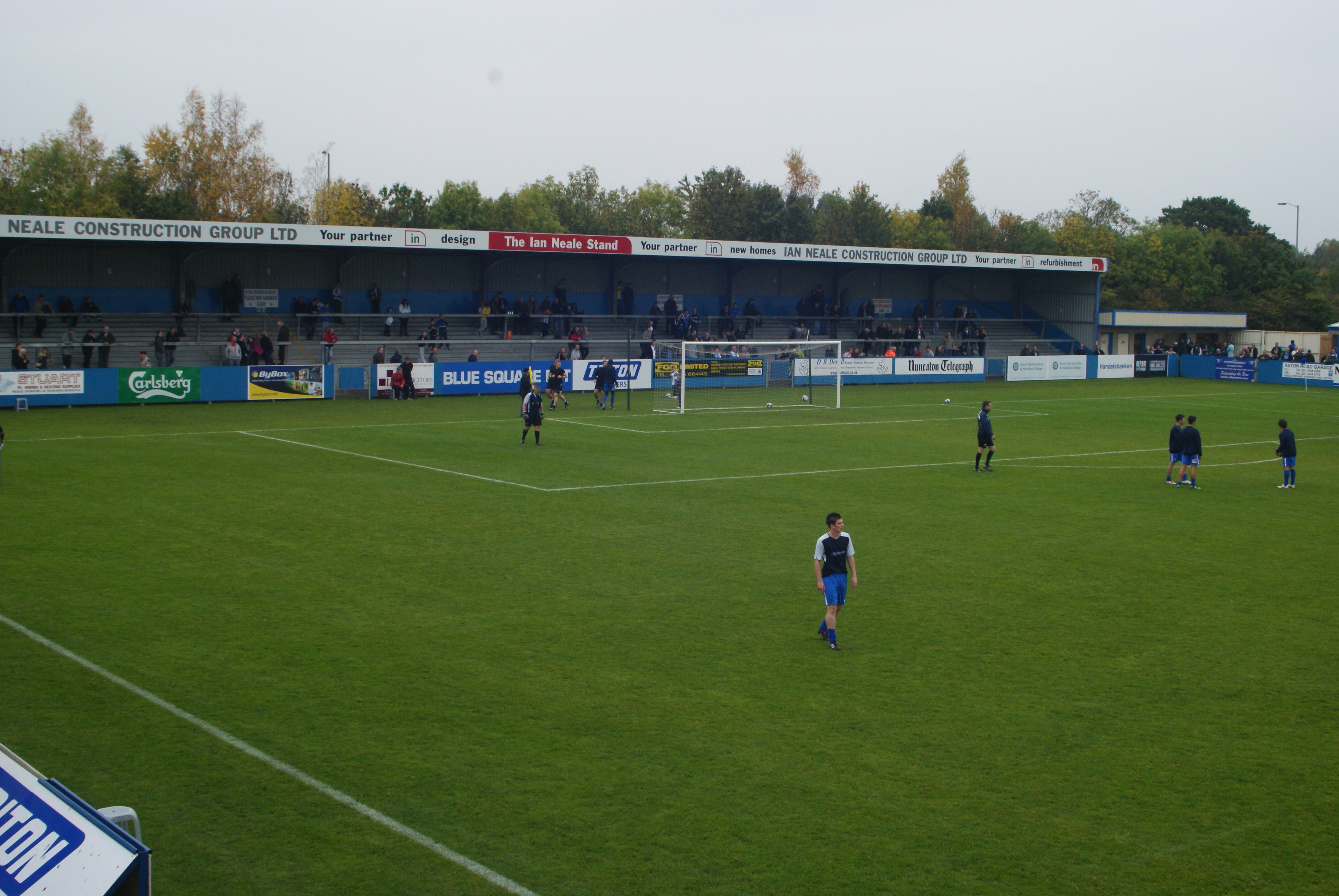
Liberty Way

Liberty Way is a multi-use sports stadium in Nuneaton, Warwickshire, England, which is leased by Nuneaton Borough F.C. but is also used by Nuneaton R.F...

Etone College

Etone College (formerly Etone Community School and Technology College) is a secondary academy school in Nuneaton, Warwickshire, England. It was founded...

Nearby Amenities

Located within 500m of 52.52523,-1.4468061
Bus Stop
St Ives Way;Truro Close
Bus: yes
Naptan AtcoCode: 4200F050400;4200F217701
Naptan Bearing: N
Naptan CommonName: St Ives Way;Truro Close
Naptan Indicator: Adj
Naptan NaptanCode: warajdmd;wardamwa
Naptan PlusbusZoneRef: NNTN
Naptan Street: Camborne Drive
Naptan Verified: no
Public Transport: platform
Source: naptan_import
Lat/Long: 52.5258887/-1.443185
Bus Stop
Falmouth Close
Bus: yes
Naptan AtcoCode: 4200F128101
Naptan Bearing: E
Naptan CommonName: Falmouth Close
Naptan Crossing: Falmouth Close
Naptan Indicator: Opp
Naptan NaptanCode: waragtat
Naptan PlusbusZoneRef: NNTN
Naptan Street: Camborne Drive
Naptan Verified: no
Public Transport: platform
Source: naptan_import
Lat/Long: 52.5273115/-1.4407583
Bus Stop
Truro Close
Bus: yes
Naptan AtcoCode: 4200F128201
Naptan Bearing: NE
Naptan CommonName: Truro Close
Naptan Indicator: Adj
Naptan NaptanCode: waragtda
Naptan PlusbusZoneRef: NNTN
Naptan Street: Camborne Drive
Naptan Verified: no
Public Transport: platform
Source: naptan_import
Lat/Long: 52.5268015/-1.442289
Bus Stop
St Ives Way
Bus: yes
Naptan AtcoCode: 4200F128301
Naptan Bearing: SE
Naptan CommonName: St Ives Way
Naptan Indicator: Opp
Naptan NaptanCode: warajdad
Naptan PlusbusZoneRef: NNTN
Naptan Street: Camborne Drive
Naptan Verified: no
Public Transport: platform
Source: naptan_import
Lat/Long: 52.5246646/-1.4427273
Bus Stop
Penryn Close
Bus: yes
Naptan AtcoCode: 4200F128401
Naptan Bearing: NE
Naptan CommonName: Penryn Close
Naptan Indicator: Adj
Naptan NaptanCode: waradmja
Naptan PlusbusZoneRef: NNTN
Naptan Street: Camborne Drive
Naptan Verified: no
Public Transport: platform
Source: naptan_import
Lat/Long: 52.5251374/-1.4400034
Bus Stop
Tiverton Drive
Bus: yes
Naptan AtcoCode: 4200F214301
Naptan Bearing: N
Naptan CommonName: Tiverton Drive
Naptan Indicator: Opp
Naptan NaptanCode: warawmtg
Naptan PlusbusZoneRef: NNTN
Naptan Street: Tavistock Way
Naptan Verified: no
Public Transport: platform
Source: naptan_import
Lat/Long: 52.5273855/-1.4518335
Bus Stop
Tiverton Drive
Bus: yes
Naptan AtcoCode: 4200F214401
Naptan Bearing: S
Naptan CommonName: Tiverton Drive
Naptan Indicator: Adj
Naptan NaptanCode: warawmtj
Naptan PlusbusZoneRef: NNTN
Naptan Street: Tavistock Way
Naptan Verified: no
Public Transport: platform
Source: naptan_import
Lat/Long: 52.5274205/-1.4516267
Bus Stop
Dawlish Close
Bus: yes
Naptan AtcoCode: 4200F214501
Naptan Bearing: NW
Naptan CommonName: Dawlish Close
Naptan Crossing: Dawlish Close
Naptan Indicator: Opp
Naptan NaptanCode: warawpdm
Naptan PlusbusZoneRef: NNTN
Naptan Street: Tiverton Drive
Naptan Verified: no
Public Transport: platform
Source: naptan_import
Lat/Long: 52.5264831/-1.4491663
Bus Stop
Salcombe Close
Bus: yes
Naptan AtcoCode: 4200F214601
Naptan Bearing: SW
Naptan CommonName: Salcombe Close
Naptan Indicator: Opp
Naptan NaptanCode: warawpdp
Naptan PlusbusZoneRef: NNTN
Naptan Street: Tiverton Drive
Naptan Verified: no
Public Transport: platform
Source: naptan_import
Lat/Long: 52.52676/-1.4461988
Bus Stop
Sidmouth Close
Bus: yes
Naptan AtcoCode: 4200F214701
Naptan Bearing: SW
Naptan CommonName: Sidmouth Close
Naptan Indicator: Opp
Naptan NaptanCode: warawpdt
Naptan PlusbusZoneRef: NNTN
Naptan Street: Tiverton Drive
Naptan Verified: no
Public Transport: platform
Source: naptan_import
Lat/Long: 52.5274457/-1.4435486
Bus Stop
Hinckley Road
Bus: yes
Naptan AtcoCode: 4200F214801
Naptan Bearing: S
Naptan CommonName: Hinckley Road
Naptan Indicator: Jcn
Naptan NaptanCode: warawpdw
Naptan PlusbusZoneRef: NNTN
Naptan Street: Tiverton Drive
Naptan Verified: no
Public Transport: platform
Source: naptan_import
Lat/Long: 52.5279259/-1.4424222
Bus Stop
Tiverton Drive
Bus: yes
Naptan AtcoCode: 4200F214901
Naptan Bearing: W
Naptan CommonName: Tiverton Drive
Naptan Indicator: Nr
Naptan NaptanCode: warawpga
Naptan PlusbusZoneRef: NNTN
Naptan Street: Hinckley Road
Naptan Verified: no
Public Transport: platform
Source: naptan_import
Lat/Long: 52.5286321/-1.4434893
Bus Stop
North Warwickshire College
Bus: yes
Naptan AtcoCode: 4200F215001
Naptan Bearing: W
Naptan CommonName: North Warwickshire College
Naptan Indicator: Opp
Naptan NaptanCode: warawpgd
Naptan PlusbusZoneRef: NNTN
Naptan Street: Hinckley Road
Naptan Verified: no
Public Transport: platform
Source: naptan_import
Lat/Long: 52.5284353/-1.4494619
Bus Stop
North Warwickshire College
Bus: yes
Naptan AtcoCode: 4200F215101
Naptan Bearing: E
Naptan CommonName: North Warwickshire College
Naptan Indicator: Adj
Naptan NaptanCode: warawpgj
Naptan PlusbusZoneRef: NNTN
Naptan Street: Hinckley Road
Naptan Verified: no
Public Transport: platform
Source: naptan_import
Lat/Long: 52.5285258/-1.4495787
Bus Stop
Tiverton Drive
Bus: yes
Naptan AtcoCode: 4200F215201
Naptan Bearing: E
Naptan CommonName: Tiverton Drive
Naptan Indicator: Nr
Naptan NaptanCode: warawpgm
Naptan PlusbusZoneRef: NNTN
Naptan Street: Hinckley Road
Naptan Verified: no
Public Transport: platform
Source: naptan_import
Lat/Long: 52.5287574/-1.4440433
Bus Stop
Penzance Way
Bus: yes
Naptan AtcoCode: 4200F217601
Naptan Bearing: SW
Naptan CommonName: Penzance Way
Naptan Indicator: Opp
Naptan NaptanCode: warajdma
Naptan PlusbusZoneRef: NNTN
Naptan Street: Camborne Drive
Naptan Verified: no
Public Transport: platform
Source: naptan_import
Lat/Long: 52.5250506/-1.4398714
Bus Stop
Falmouth Close
Bus: yes
Naptan AtcoCode: 4200F217901
Naptan Bearing: W
Naptan CommonName: Falmouth Close
Naptan Crossing: Falmouth Close
Naptan Indicator: Adj
Naptan NaptanCode: warawmgd
Naptan PlusbusZoneRef: NNTN
Naptan Street: Camborne Drive
Naptan Verified: no
Public Transport: platform
Source: naptan_import
Lat/Long: 52.5272263/-1.4408686
Horeston Grange
Place: village
Source: GPS and OS_Opendata_Sreetview
Lat/Long: 52.5266206/-1.4478643
Post Box
Lat/Long: 52.5266676/-1.4515372
Turning Circle
Source: Warwicks CC Aerial Imagery 2013
Lat/Long: 52.5246279/-1.4410881
Turning Circle
Source: Warwicks CC Aerial Imagery 2013
Lat/Long: 52.5245579/-1.4421392
Turning Circle
Source: Warwicks CC Aerial Imagery 2013
Lat/Long: 52.5265012/-1.4404352
Turning Circle
Source: Warwicks CC Aerial Imagery 2013
Lat/Long: 52.5258039/-1.4420588
Turning Circle
Source: Warwicks CC Aerial Imagery 2013
Lat/Long: 52.5264273/-1.4414411
Source: Warwicks CC Aerial Imagery 2013
Lat/Long: 52.525372/-1.4415606
Turning Circle
Source: Warwicks CC Aerial Imagery 2013
Lat/Long: 52.5231154/-1.4446715
Turning Circle
Source: Warwicks CC Aerial Imagery 2013
Lat/Long: 52.5258674/-1.4403754
Car Wash
Total
Lat/Long: 52.5289071/-1.4485365
Fuel
Shell
Addr Housenumber: 118
Addr Postcode: CV11 6LS
Addr Street: Hinckley Road
Brand: Shell
Brand Wikidata: Q110716465
Operator: Motor Fuel Group
Operator Website: https://www.motorfuelgroup.com/locations/weddington-fs381/
Operator Wikidata: Q107271358
Phone: +44 24 7632 2942
Ref Navads: NVDS353_12038513
Website: https://find.shell.com/gb/fuel/12038513-mfg-weddington
Lat/Long: 52.5288304/-1.4483648
Atm
Lat/Long: 52.5288297/-1.4482191
Crossing
Crossing: traffic_signals
Source: Warwicks CC Aerial Imagery 2013
Lat/Long: 52.5287103/-1.4477502
Aggreko
Office: company
Lat/Long: 52.5240254/-1.452493
Generator Method: photovoltaic
Generator Output Electricity: yes
Generator Source: solar
Generator Type: solar_photovoltaic_panel
Power: generator
Source: Maxar Imagery
Lat/Long: 52.5245828/-1.4450723
Generator Method: photovoltaic
Generator Output Electricity: yes
Generator Source: solar
Generator Type: solar_photovoltaic_panel
Power: generator
Source: Maxar Imagery
Lat/Long: 52.5243841/-1.4440222
Generator Method: photovoltaic
Generator Output Electricity: yes
Generator Source: solar
Generator Type: solar_photovoltaic_panel
Power: generator
Source: Maxar Imagery
Lat/Long: 52.5244718/-1.4437433
Generator Method: photovoltaic
Generator Output Electricity: yes
Generator Source: solar
Generator Type: solar_photovoltaic_panel
Power: generator
Lat/Long: 52.5238729/-1.4436333
Generator Method: photovoltaic
Generator Output Electricity: yes
Generator Source: solar
Generator Type: solar_photovoltaic_panel
Power: generator
Lat/Long: 52.5242523/-1.4452171
Generator Method: photovoltaic
Generator Output Electricity: yes
Generator Source: solar
Generator Type: solar_photovoltaic_panel
Power: generator
Lat/Long: 52.5239871/-1.4478122
Generator Method: photovoltaic
Generator Output Electricity: yes
Generator Source: solar
Generator Type: solar_photovoltaic_panel
Power: generator
Lat/Long: 52.5236803/-1.4431775
Generator Method: photovoltaic
Generator Output Electricity: yes
Generator Source: solar
Generator Type: solar_photovoltaic_panel
Location: roof
Power: generator
Lat/Long: 52.523877/-1.4436373
Generator Method: photovoltaic
Generator Output Electricity: yes
Generator Source: solar
Generator Type: solar_photovoltaic_panel
Location: roof
Power: generator
Lat/Long: 52.5248896/-1.4420763
Generator Method: photovoltaic
Generator Output Electricity: yes
Generator Source: solar
Generator Type: solar_photovoltaic_panel
Location: roof
Power: generator
Lat/Long: 52.5257928/-1.440711
Generator Method: photovoltaic
Generator Output Electricity: yes
Generator Source: solar
Generator Type: solar_photovoltaic_panel
Location: roof
Power: generator
Lat/Long: 52.5260963/-1.4511596
Midland Junction
Railway: junction
Lat/Long: 52.5223252/-1.4457739
Power: pole
Source: bing
Lat/Long: 52.5225228/-1.443235
Power: pole
Source: bing
Lat/Long: 52.5223205/-1.4443038
Power: pole
Source: bing
Lat/Long: 52.5220267/-1.4457388
Power: pole
Source: bing
Lat/Long: 52.5217958/-1.4468439
Power: pole
Source: bing
Lat/Long: 52.521542/-1.4480294
Power: pole
Source: bing
Lat/Long: 52.5213462/-1.4489937
Power: pole
Source: bing
Lat/Long: 52.522604/-1.4432122
Power: pole
Source: bing
Lat/Long: 52.5223976/-1.4443561
Power: pole
Source: bing
Lat/Long: 52.5221079/-1.445716
Power: pole
Source: bing
Lat/Long: 52.521877/-1.4468211
Power: pole
Source: bing
Lat/Long: 52.5216232/-1.4480066
Power: pole
Source: bing
Lat/Long: 52.5214273/-1.4489709
Generator Method: photovoltaic
Generator Output Electricity: yes
Generator Source: solar
Generator Type: solar_photovoltaic_panel
Power: generator
Lat/Long: 52.5265875/-1.4487027
Generator Method: photovoltaic
Generator Output Electricity: yes
Generator Source: solar
Generator Type: solar_photovoltaic_panel
Power: generator
Lat/Long: 52.5241381/-1.448649
Generator Method: photovoltaic
Generator Output Electricity: yes
Generator Source: solar
Generator Type: solar_photovoltaic_panel
Power: generator
Lat/Long: 52.52561/-1.4490084
The data included in this document is from www.openstreetmap.org. The data is made available under ODbL.

Have you been to Horeston Grange?

Leave your review of Horeston Grange below (or comments, questions and feedback).