Hoptonheath
Settlement in Shropshire
England
Hoptonheath
The requested URL returned error: 429 Too Many Requests
If you have any feedback on the listing, please let us know in the comments section below.
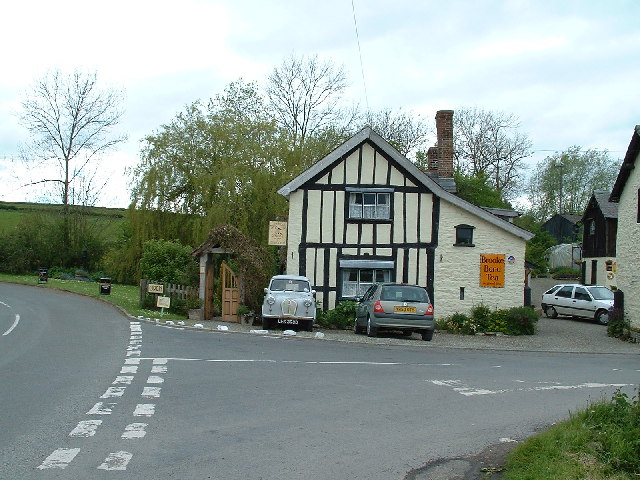
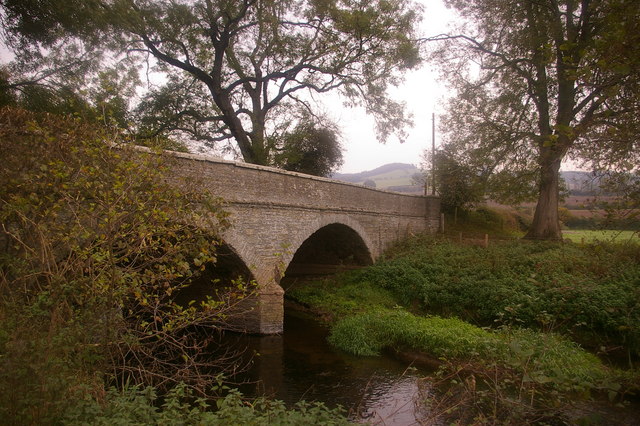
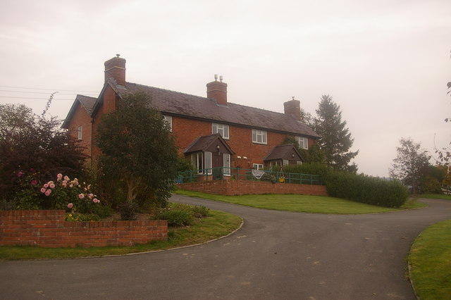
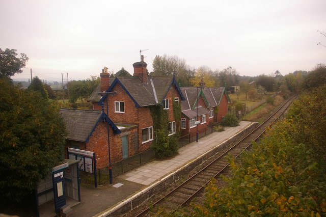
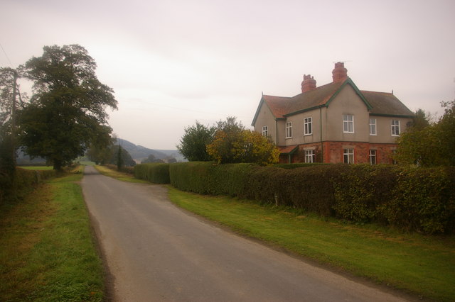
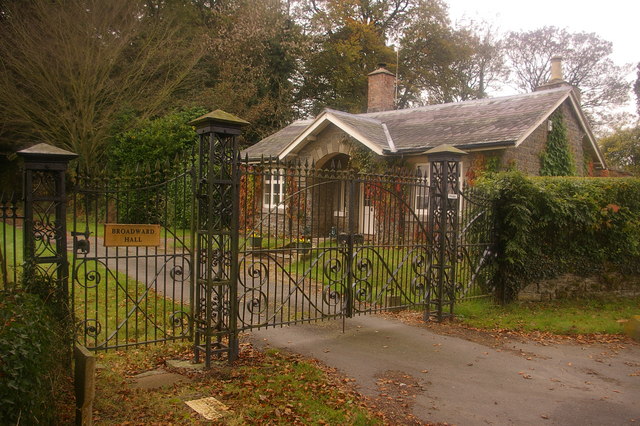
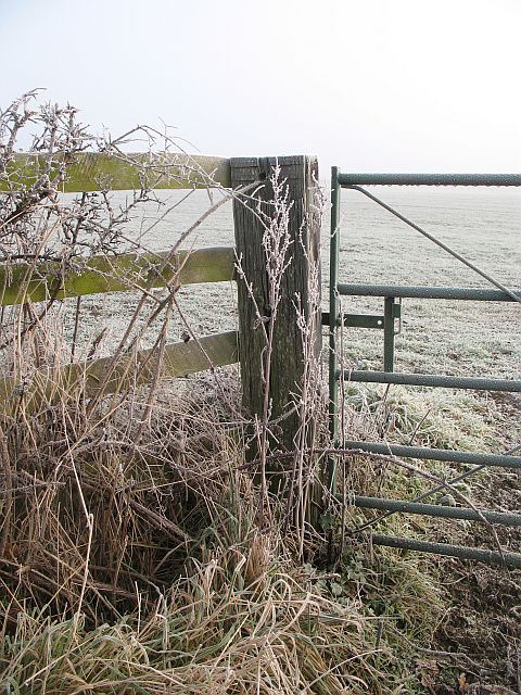
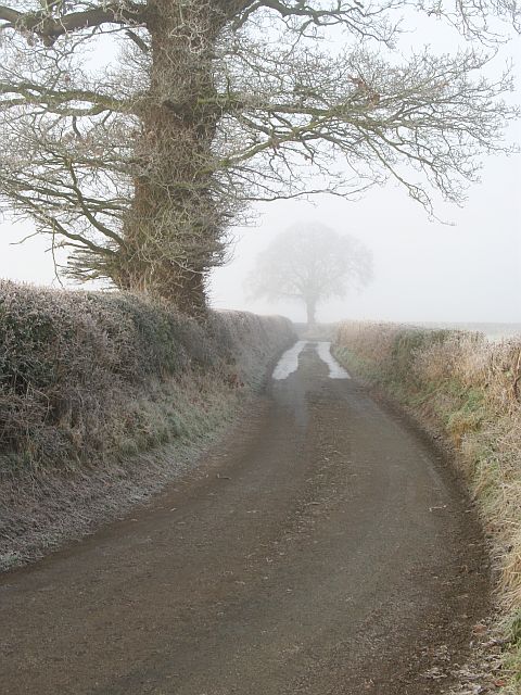
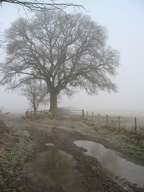
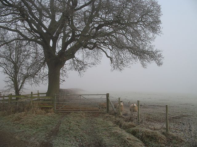
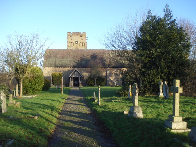
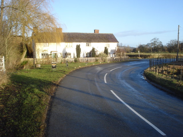
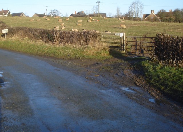
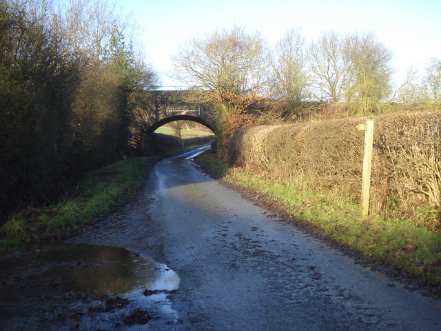
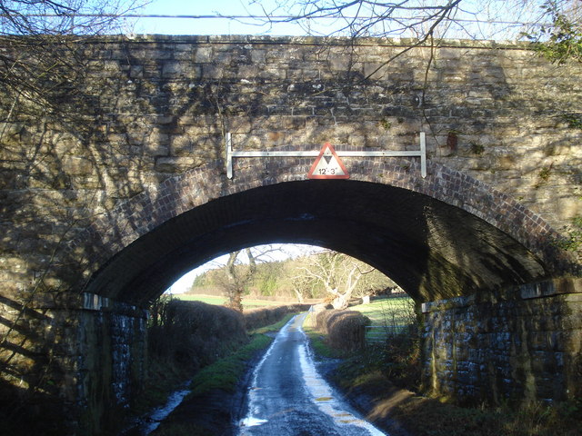
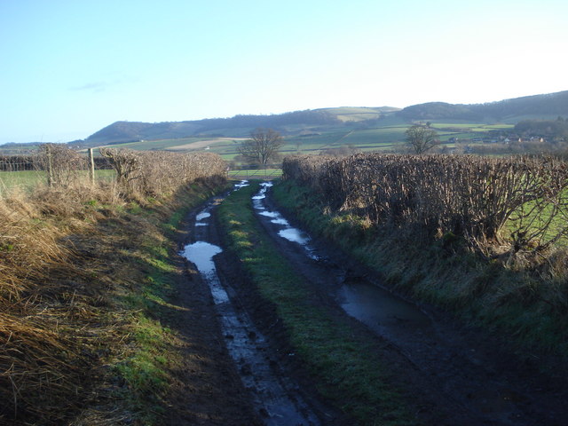
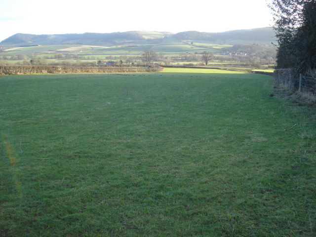
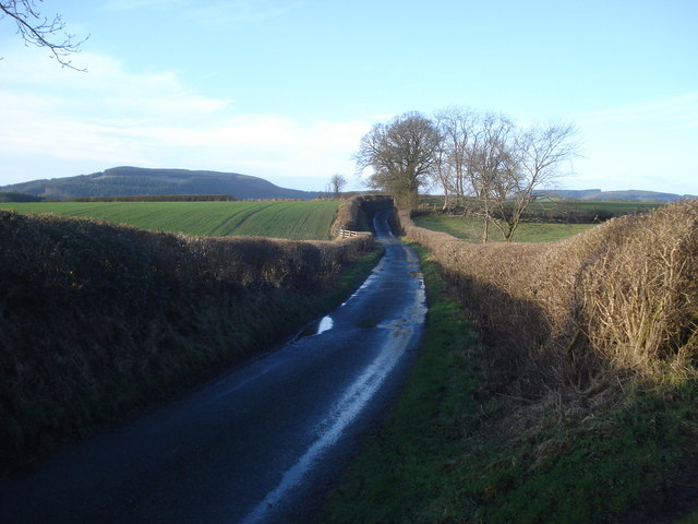
Hoptonheath Images
Images are sourced within 2km of 52.391541/-2.9108278 or Grid Reference SO3877. Thanks to Geograph Open Source API. All images are credited.
Hoptonheath is located at Grid Ref: SO3877 (Lat: 52.391541, Lng: -2.9108278)
Unitary Authority: Shropshire
Police Authority: West Merica
What 3 Words
///used.chair.dumps. Near Bucknell, Shropshire
Nearby Locations
Related Wikis

Hopton Heath
Hopton Heath, or Hoptonheath, is a hamlet in south Shropshire, England. The border with Herefordshire is close by. It lies on the border of the civil parishes...

Hopton Heath railway station
Hopton Heath railway station in Hopton Heath, Shropshire, England, lies on the Heart of Wales Line, 25+1⁄2 miles (41.0 km) south west of Shrewsbury. The...

Heath, Herefordshire
Heath (or The Heath) is a dispersed hamlet in north Herefordshire, England. It lies in the civil parish of Leintwardine, on the other side of the River...

Beckjay
Beckjay is a hamlet in the south of the English county of Shropshire. Its name, and that of the nearby hamlet of Jay (about 1+1⁄2 miles (2.4 km) south...
Nearby Amenities
Located within 500m of 52.391541,-2.9108278Have you been to Hoptonheath?
Leave your review of Hoptonheath below (or comments, questions and feedback).