Hitchin Square
Settlement in Middlesex
England
Hitchin Square
Hitchin Square is a small urban area located in the county of Middlesex, England. Situated in the southern part of the county, it is approximately 30 miles northwest of central London. The square is a bustling commercial and residential hub, known for its vibrant atmosphere and historic charm.
The heart of Hitchin Square is marked by a central market square, which has been a focal point of the town for centuries. Surrounded by a mix of Georgian and Victorian buildings, the square is lined with a variety of shops, cafes, and restaurants, offering a wide range of goods and services to both residents and visitors.
Hitchin Square is also home to several notable landmarks and attractions. St Mary's Church, a striking medieval parish church, stands proudly at the edge of the square, showcasing beautiful architectural features and a rich history. Hitchin Museum and Art Gallery, located nearby, offers an insight into the town's heritage through its diverse collection of artifacts and artworks.
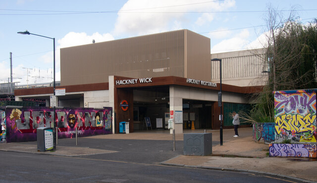
Transportation in Hitchin Square is convenient, with the Hitchin railway station located just a short walk away. This provides easy access to London and other major cities in the region. Additionally, the square is well-served by local bus routes, allowing for seamless travel within the town and its surrounding areas.
Overall, Hitchin Square in Middlesex is a vibrant and historic urban center, offering a range of amenities, cultural attractions, and convenient transportation links. It is a popular destination for both locals and tourists seeking a blend of traditional charm and modern convenience.
If you have any feedback on the listing, please let us know in the comments section below.
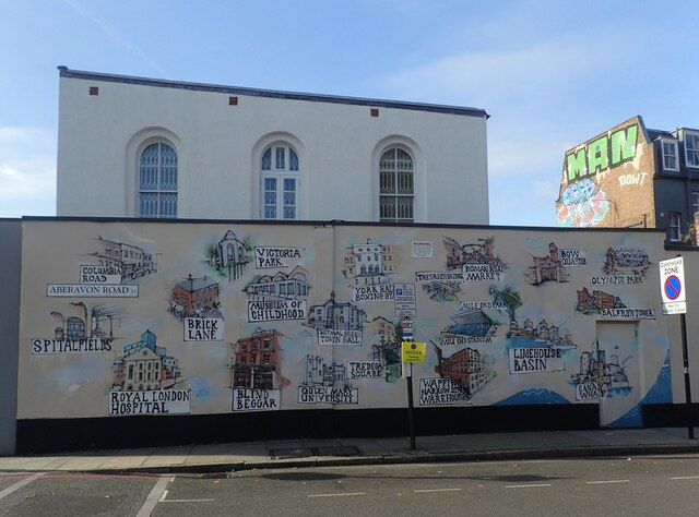
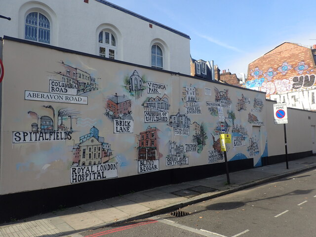
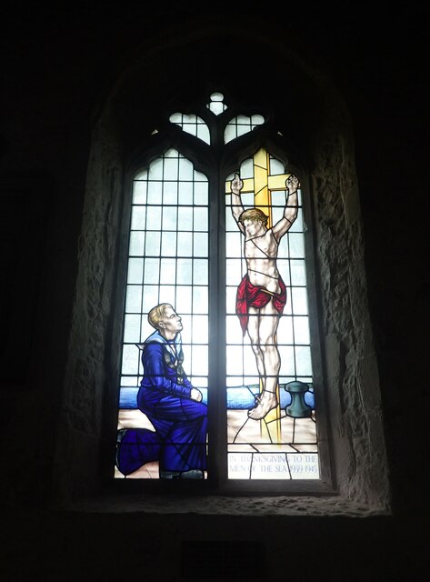
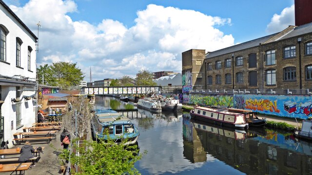
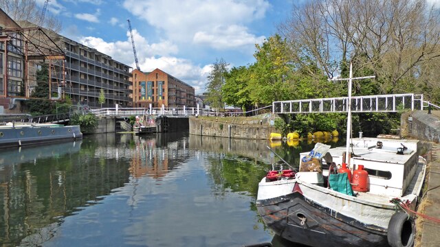
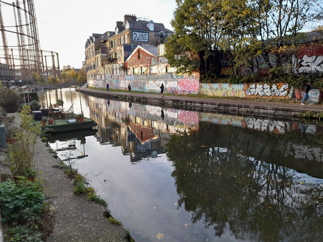
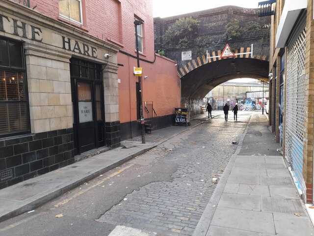
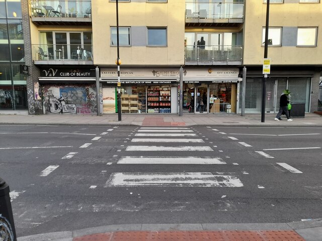
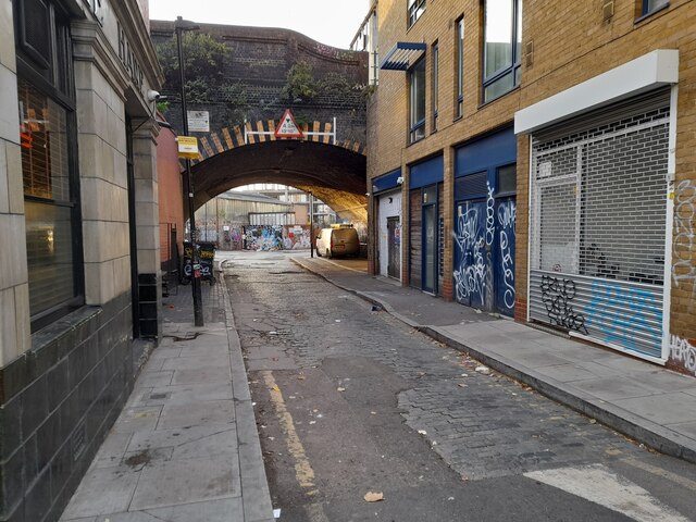
Hitchin Square Images
Images are sourced within 2km of 51.532639/-0.034786825 or Grid Reference TQ3683. Thanks to Geograph Open Source API. All images are credited.
Hitchin Square is located at Grid Ref: TQ3683 (Lat: 51.532639, Lng: -0.034786825)
Unitary Authority: Tower Hamlets
Police Authority: Metropolitan
What 3 Words
///milky.navy.ranks. Near Bethnal Green, London
Nearby Locations
Related Wikis

St Paul's, Old Ford
St Paul's, Old Ford, is a late 19th-century church in Old Ford, London, England. It is an Anglican church in the Diocese of London. == History == St Paul...

Chisenhale Gallery
Chisenhale Gallery is a non-profit contemporary art gallery based in London's East End. The gallery occupies the ground level of a former veneer factory...

St Barnabas Bethnal Green
St Barnabas Bethnal Green is a late 19th-century church in Bow in London, England. It is an Anglican church in the Diocese of London. The church is at...

Lakeview Estate
Lakeview Estate is a housing estate in Old Ford, east London, designed by Berthold Lubetkin. It was built on a site damaged by bombing in World War II...

Coborn Road railway station
Coborn Road was a railway station in Bow, east London, 2 miles 28 chains (3.8 km) down the main line from Liverpool Street. It was opened on 1 February...

Lord Tredegar, Bow
The Lord Tredegar is a pub at 50 Lichfield Road, Bow, London E3. It is a Grade II listed building, built in the mid-19th century.It is part of the Remarkable...
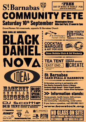
St Barnabas Community Fete
St Barnabas Community Fete (also known as Bowstock) was an annual fête and music festival held on Wennington Green in Mile End Park, Bow, London, England...

Bow, London
Bow () is an area of east London, England, within the London Borough of Tower Hamlets, 4.6 miles (7.4 km) east of Charing Cross. Historically in Middlesex...
Nearby Amenities
Located within 500m of 51.532639,-0.034786825Have you been to Hitchin Square?
Leave your review of Hitchin Square below (or comments, questions and feedback).