Margnaheglish
Settlement in Buteshire
Scotland
Margnaheglish
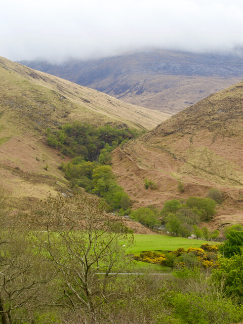
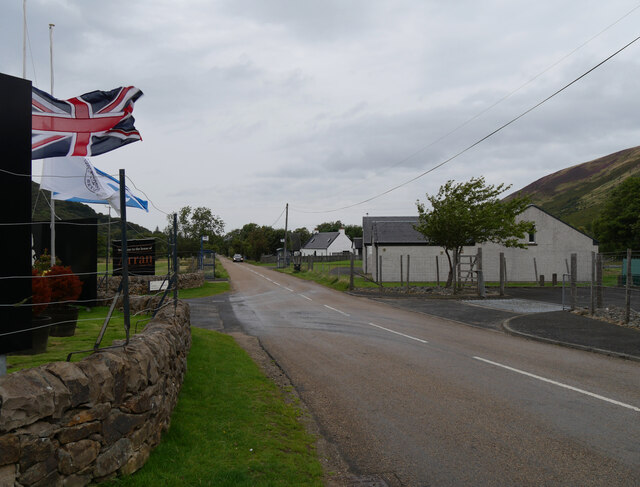
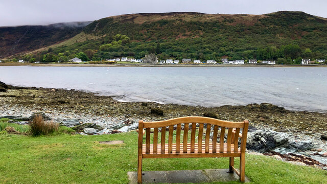
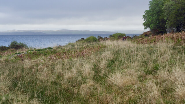
Margnaheglish is a small village located in the county of Buteshire, Scotland. Situated on the eastern coast of the Isle of Bute, it offers breathtaking views of the surrounding countryside and the picturesque Rothesay Bay. The village has a population of approximately 300 residents, making it a close-knit and intimate community.
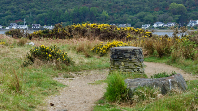
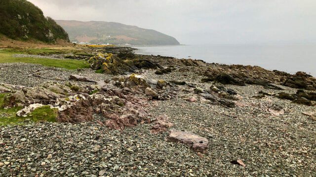
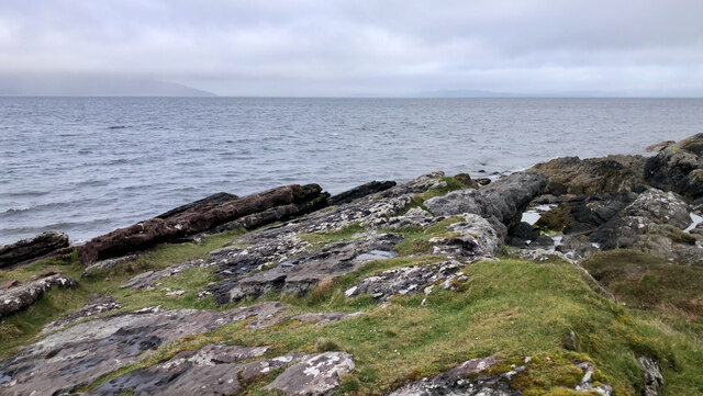
The village is renowned for its serene and peaceful atmosphere, making it an ideal destination for those seeking a tranquil getaway. Margnaheglish is known for its idyllic sandy beaches, where visitors can enjoy leisurely walks, picnics, and even participate in water sports such as sailing and kayaking. The nearby Margnaheglish Golf Club attracts golf enthusiasts from both the local area and beyond.
In terms of amenities, Margnaheglish has a small convenience store to cater to the needs of residents and visitors. However, for a wider range of shopping and dining options, the bustling town of Rothesay is only a short drive away.
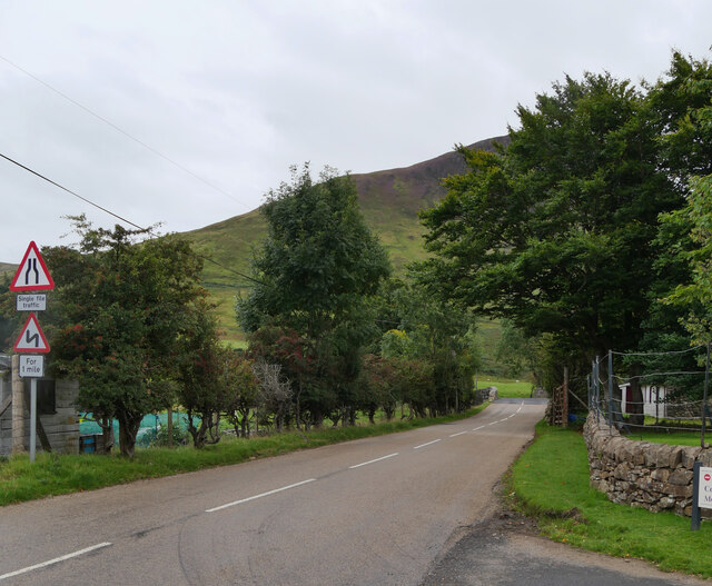
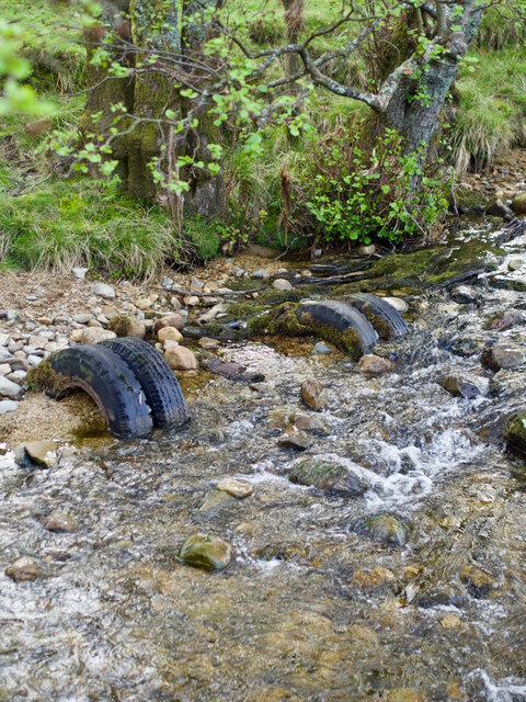
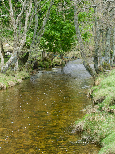
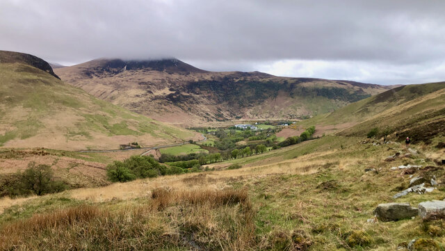
Nature lovers will appreciate the abundance of wildlife in the area, including various bird species and marine life. The village is also surrounded by rolling hills and lush green landscapes, making it a haven for hikers and walkers.
Overall, Margnaheglish offers a charming and unspoiled Scottish coastal experience, where visitors can immerse themselves in the natural beauty and tranquility of the area.
If you have any feedback on the listing, please let us know in the comments section below.
Margnaheglish Images
Images are sourced within 2km of 55.7031/-5.2897022 or Grid Reference NR9350. Thanks to Geograph Open Source API. All images are credited.


Margnaheglish is located at Grid Ref: NR9350 (Lat: 55.7031, Lng: -5.2897022)
Unitary Authority: North Ayrshire
Police Authority: Ayrshire
What 3 Words
///affair.boss.harshest. Near Lochranza, North Ayrshire
Nearby Locations
Related Wikis

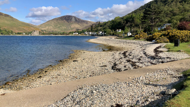
Lochranza Castle
Lochranza Castle is an L-plan fortified tower house situated on a promontory in Lochranza, on the northern part of the Isle of Arran in Scotland. Most...

Lochranza
Lochranza (Scottish Gaelic: Loch Raonasa) is a village located on the Isle of Arran in the Firth of Clyde, Scotland. The population, somewhat in decline...

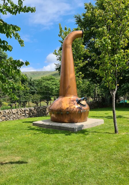
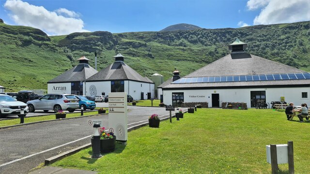
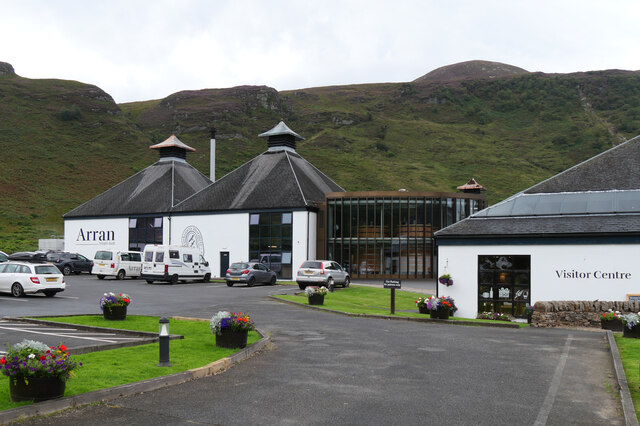
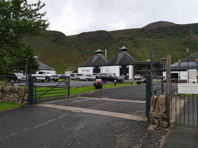
Arran distillery
Arran distillery is a whisky distillery in Lochranza, Scotland, Isle of Arran. In 1994 Arran Distillers was founded by Harold Currie, former director of...

Torr Meadhonach
Torr Meadhonach is a hill 332 metres (1,089 ft) high at the northernmost part of the Isle of Arran in western Scotland, east of the village of Lochranza...

Catacol
Catacol (Scottish Gaelic: Catagal) is a small village on the Isle of Arran, Scotland. == Geography == Catacol is located on the north west side of the...

Catacol Bay
Catacol Bay (Scottish Gaelic: Catagal bhàigh) is a small shallow-curved tidal, 310° facing, rocky coastal embayment located on the northwest tip of the...

HMS Vandal
HMS Vandal (P64) was a Royal Navy U-class submarine built by Vickers-Armstrong at Barrow-in-Furness, yard number 838. The submarine had the shortest career...

Creag Ghlas Laggan
Creag Ghlas Laggan (also known as Fionn Bhealach) is a hill on the Isle of Arran in south-western Scotland. It is the highest point of the seven-mile-long...
Nearby Amenities
Located within 500m of 55.7031,-5.2897022Have you been to Margnaheglish?
Leave your review of Margnaheglish below (or comments, questions and feedback).