Gob an Rubha
Coastal Feature, Headland, Point in Buteshire
Scotland
Gob an Rubha
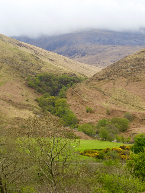
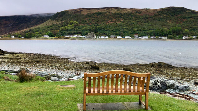
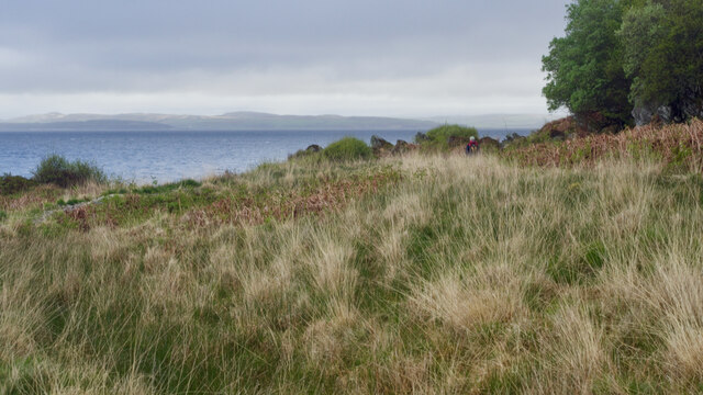
Gob an Rubha is a prominent headland located in the region of Buteshire, Scotland. Situated on the western coast of the Isle of Bute, it juts out into the Firth of Clyde, offering stunning views of the surrounding landscape. The name "Gob an Rubha" translates to "the point of the headland" in Scottish Gaelic, accurately describing its geographical location.
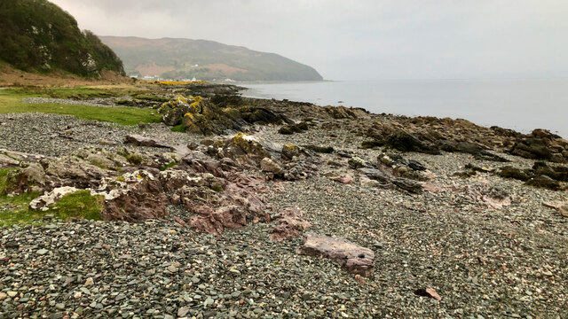
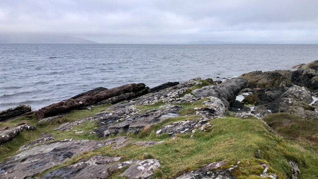
This coastal feature is characterized by its rugged cliffs and rocky shoreline, which have been shaped by the relentless forces of the sea over countless years. The headland is known for its distinctive shape, with a narrow and elongated peninsula extending outward into the water.
Gob an Rubha is not only visually striking but also holds historical significance. It is believed to have been a strategic location during ancient times, serving as a lookout point and offering a vantage point for the defense of nearby settlements. The headland has also been associated with Viking activity, with some archaeological evidence supporting the presence of these seafaring warriors in the area.
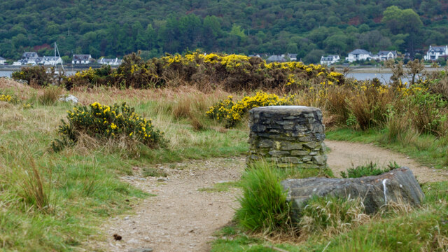
Today, Gob an Rubha attracts visitors and locals alike who come to admire its natural beauty and enjoy outdoor activities. Hikers and nature enthusiasts are drawn to the headland's picturesque trails and diverse wildlife, including seabirds and marine creatures. The headland also provides a peaceful and serene setting for picnics and leisurely walks, allowing visitors to immerse themselves in the tranquility of the Scottish coastal landscape.
In summary, Gob an Rubha is a captivating headland in Buteshire, Scotland, featuring dramatic cliffs, a rugged shoreline, and a rich historical past. Its scenic beauty and recreational opportunities make it a popular destination for nature lovers and history enthusiasts alike.
If you have any feedback on the listing, please let us know in the comments section below.
Gob an Rubha Images
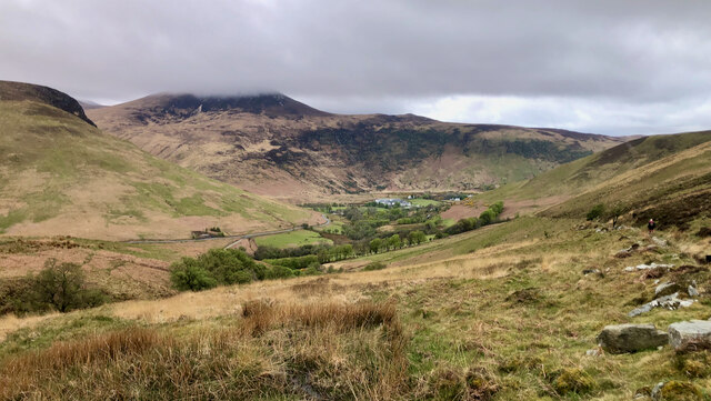
Images are sourced within 2km of 55.705344/-5.2898114 or Grid Reference NR9350. Thanks to Geograph Open Source API. All images are credited.


Gob an Rubha is located at Grid Ref: NR9350 (Lat: 55.705344, Lng: -5.2898114)
Unitary Authority: North Ayrshire
Police Authority: Ayrshire
What 3 Words
///outhouse.weep.leotard. Near Lochranza, North Ayrshire
Nearby Locations
Related Wikis

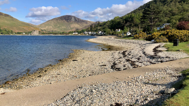
Lochranza Castle
Lochranza Castle is an L-plan fortified tower house situated on a promontory in Lochranza, on the northern part of the Isle of Arran in Scotland. Most...

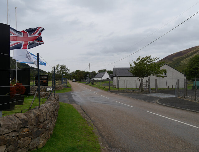
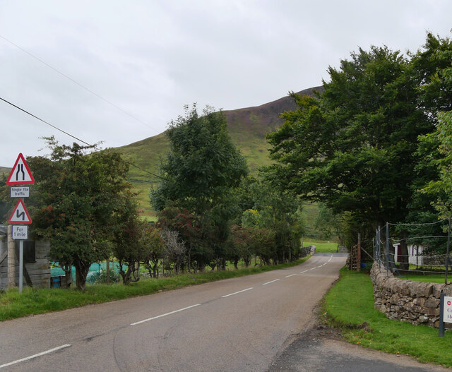
Lochranza
Lochranza (Scottish Gaelic: Loch Raonasa) is a village located on the Isle of Arran in the Firth of Clyde, Scotland. The population, somewhat in decline...

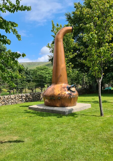
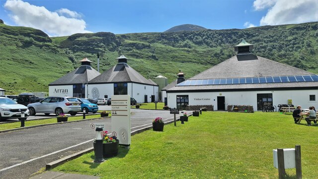
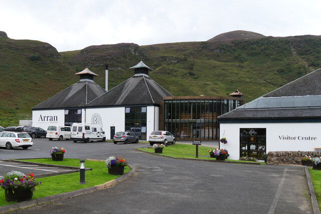
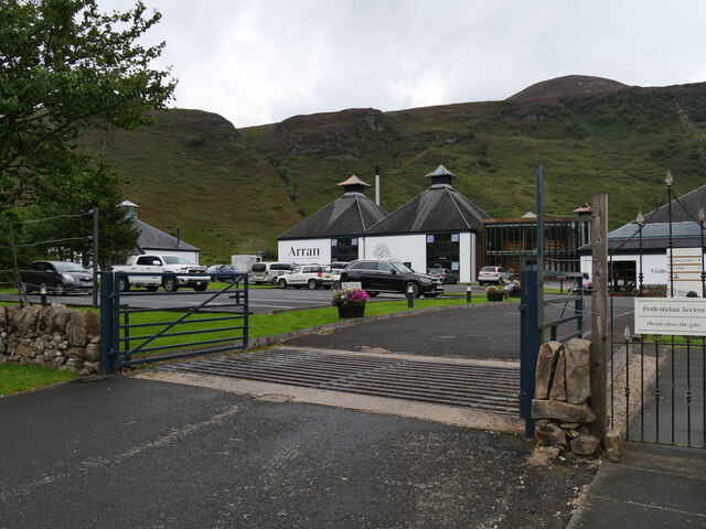
Arran distillery
Arran distillery is a whisky distillery in Lochranza, Scotland, Isle of Arran. In 1994 Arran Distillers was founded by Harold Currie, former director of...

Torr Meadhonach
Torr Meadhonach is a hill 332 metres (1,089 ft) high at the northernmost part of the Isle of Arran in western Scotland, east of the village of Lochranza...
Nearby Amenities
Located within 500m of 55.705344,-5.2898114Have you been to Gob an Rubha?
Leave your review of Gob an Rubha below (or comments, questions and feedback).