Butt
Settlement in Buteshire
Scotland
Butt
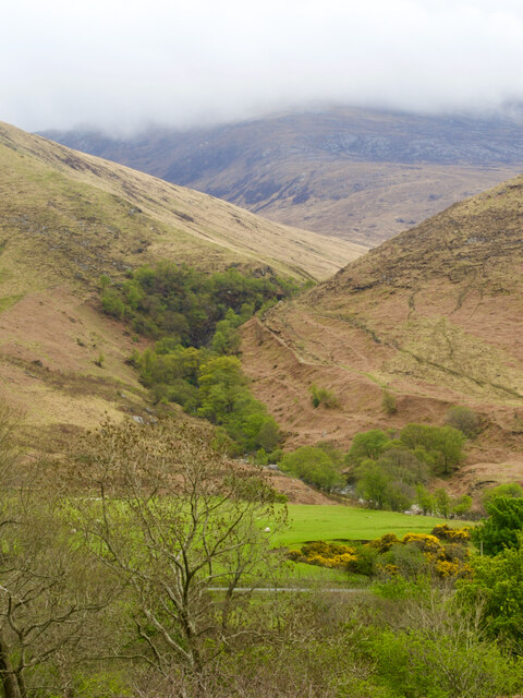
Butt, Buteshire is a small town located on the western coast of Scotland. It is situated on the Isle of Bute, the most accessible island in the Firth of Clyde. The town is surrounded by picturesque landscapes, with rolling hills and stunning views of the sea.
With a population of around 6,500 people, Butt is known for its peaceful and friendly atmosphere. The town has a rich history, dating back to ancient times, and is home to several historical landmarks. One of the most notable attractions is the ruins of Rothesay Castle, a medieval fortress that offers a glimpse into the town's past.
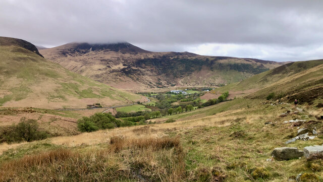
Butt is also renowned for its natural beauty, attracting visitors who enjoy outdoor activities. The island offers opportunities for hiking, cycling, and fishing, with stunning coastal paths and serene beaches. The nearby Mount Stuart House, a grand Victorian Gothic mansion surrounded by beautiful gardens, is a popular tourist destination.
The town itself has a range of amenities, including shops, restaurants, and cafes that cater to both locals and tourists. The local community is closely knit and organizes various events throughout the year, such as festivals and markets, which showcase the town's culture and heritage.
Butt is well-connected to the mainland by regular ferry services, making it easily accessible for those wishing to explore the wider region. Overall, Butt, Buteshire offers a tranquil and idyllic setting for residents and visitors alike, with its rich history, natural beauty, and welcoming community.
If you have any feedback on the listing, please let us know in the comments section below.
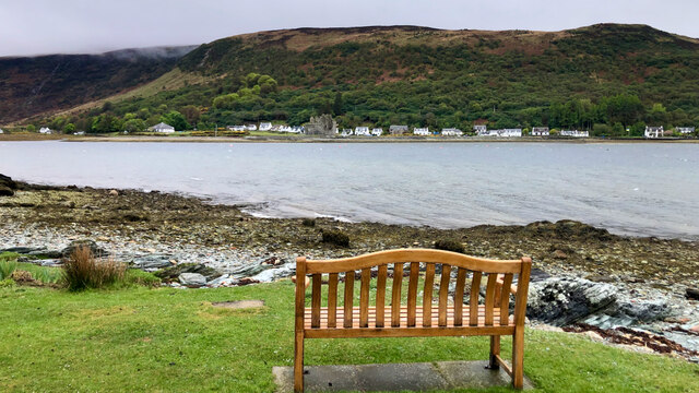
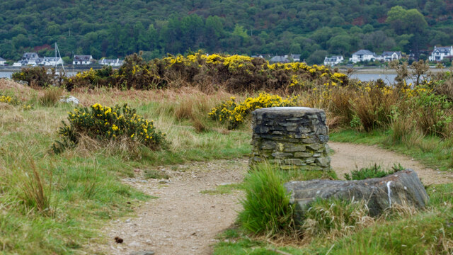
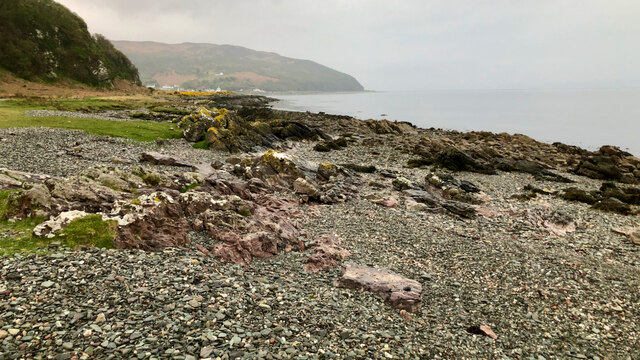
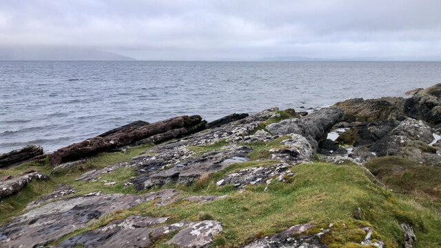
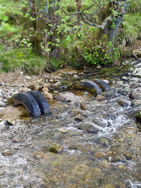
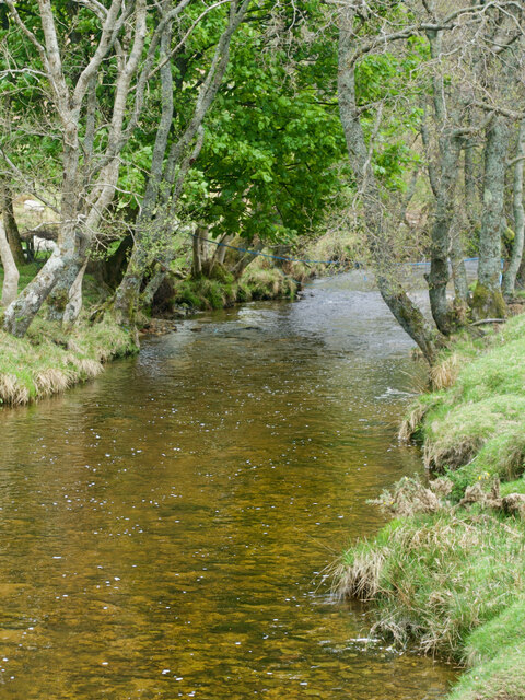
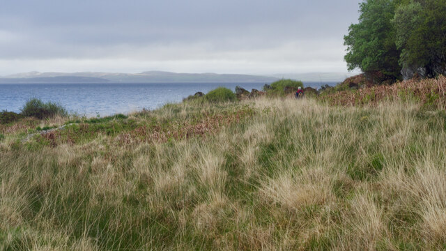
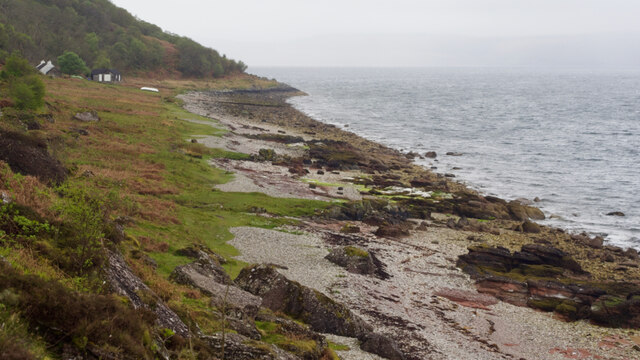
Butt Images
Images are sourced within 2km of 55.704171/-5.2809081 or Grid Reference NR9350. Thanks to Geograph Open Source API. All images are credited.

Butt is located at Grid Ref: NR9350 (Lat: 55.704171, Lng: -5.2809081)
Unitary Authority: North Ayrshire
Police Authority: Ayrshire
What 3 Words
///client.promising.cattle. Near Lochranza, North Ayrshire
Nearby Locations
Related Wikis

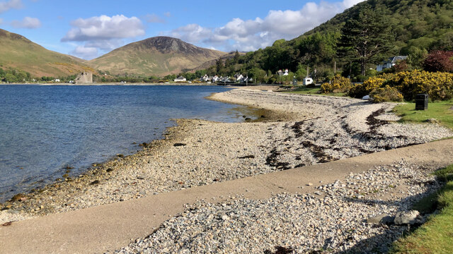
Lochranza Castle
Lochranza Castle is an L-plan fortified tower house situated on a promontory in Lochranza, on the northern part of the Isle of Arran in Scotland. Most...

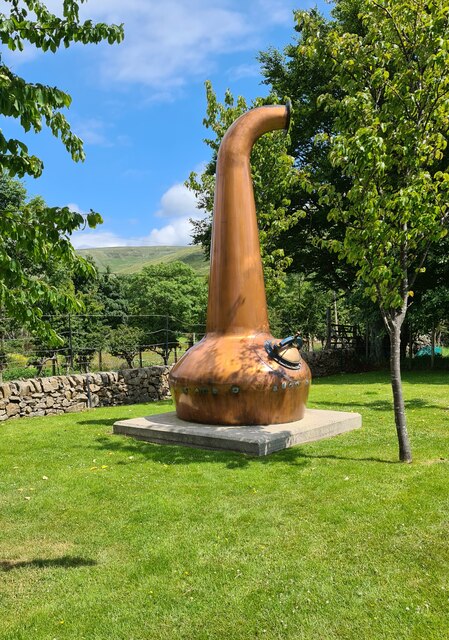
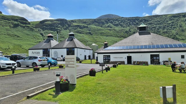
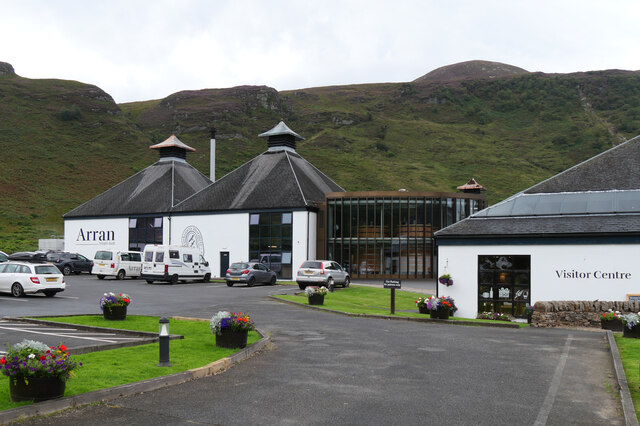
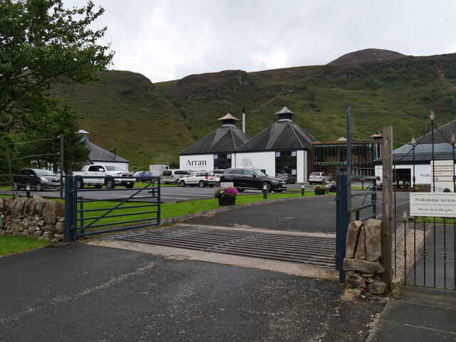
Arran distillery
Arran distillery is a whisky distillery in Lochranza, Scotland, Isle of Arran. In 1994 Arran Distillers was founded by Harold Currie, former director of...

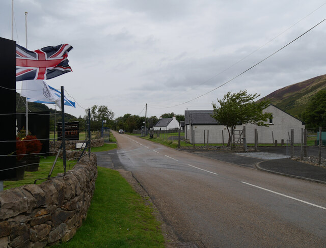
Lochranza
Lochranza (Scottish Gaelic: Loch Raonasa) is a village located on the Isle of Arran in the Firth of Clyde, Scotland. The population, somewhat in decline...

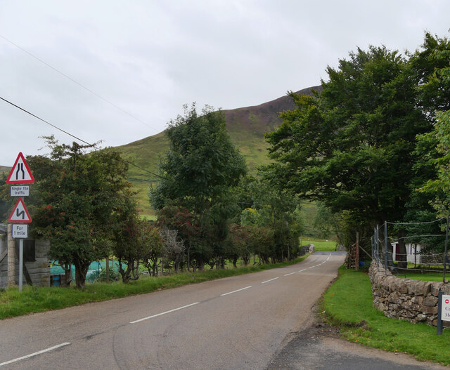
Torr Meadhonach
Torr Meadhonach is a hill 332 metres (1,089 ft) high at the northernmost part of the Isle of Arran in western Scotland, east of the village of Lochranza...
Nearby Amenities
Located within 500m of 55.704171,-5.2809081Have you been to Butt?
Leave your review of Butt below (or comments, questions and feedback).