Coille Mòr
Wood, Forest in Buteshire
Scotland
Coille Mòr
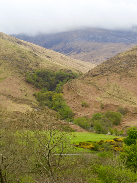
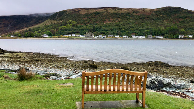
Located in the county of Buteshire, Coille Mòr, which translates to Wood or Forest in Gaelic, is a stunning natural area renowned for its scenic beauty and diverse wildlife. Spread across approximately 300 hectares, this woodland encompasses a mixture of ancient woodland, coniferous plantations, and open grasslands.
Coille Mòr boasts an array of tree species, including oak, birch, and rowan, which create a rich and diverse habitat for countless flora and fauna. The woodland is also home to several rare and protected species, such as red squirrels, pine martens, and various bird species including woodpeckers and buzzards.
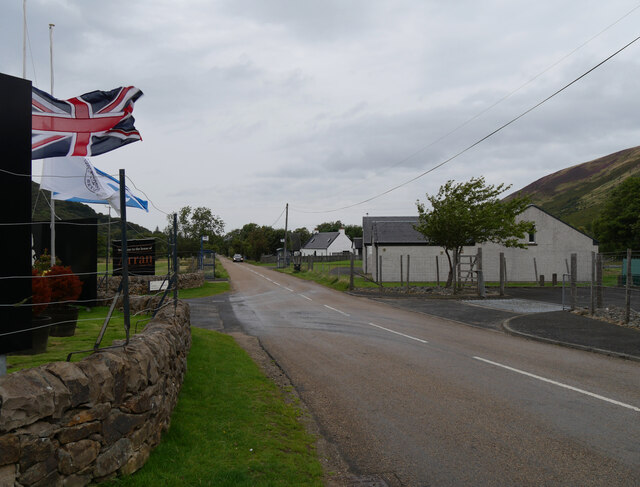
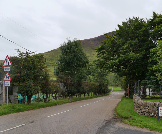
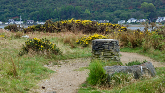
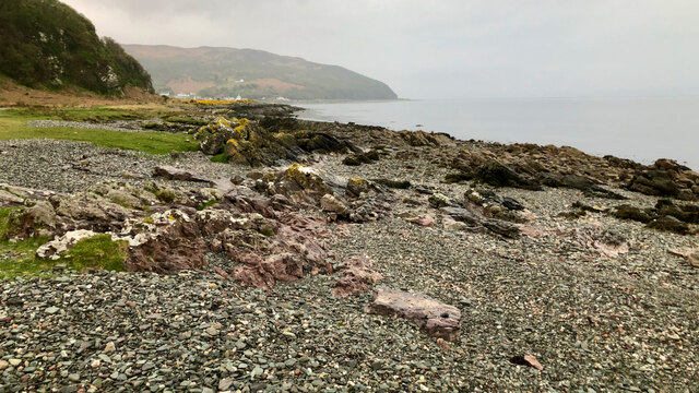
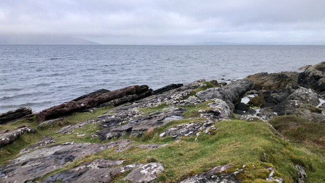
The forest offers a range of recreational activities for visitors. There are well-maintained footpaths that wind through the woodland, providing opportunities for leisurely walks and hikes. These paths are suitable for all abilities and offer stunning views of the surrounding landscape, including glimpses of nearby lochs and hills.
For nature enthusiasts, Coille Mòr is a true haven. The forest hosts guided wildlife tours and educational programs, allowing visitors to learn more about the ecosystem and the importance of conservation. There are also designated areas for picnics and camping, providing the perfect opportunity to immerse oneself in the tranquility of the natural surroundings.
Coille Mòr truly captures the essence of Scotland's natural beauty, offering a peaceful retreat for those seeking solace in nature. Whether it's exploring the woodland trails, observing the abundant wildlife, or simply enjoying a picnic amidst the serene atmosphere, Coille Mòr is a must-visit destination for nature lovers and outdoor enthusiasts alike.
If you have any feedback on the listing, please let us know in the comments section below.
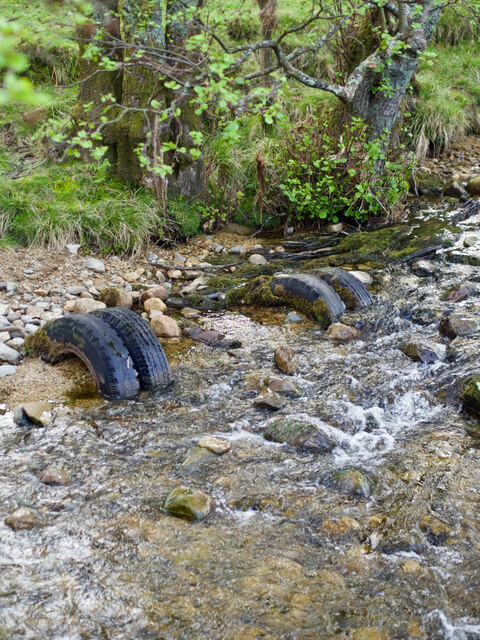
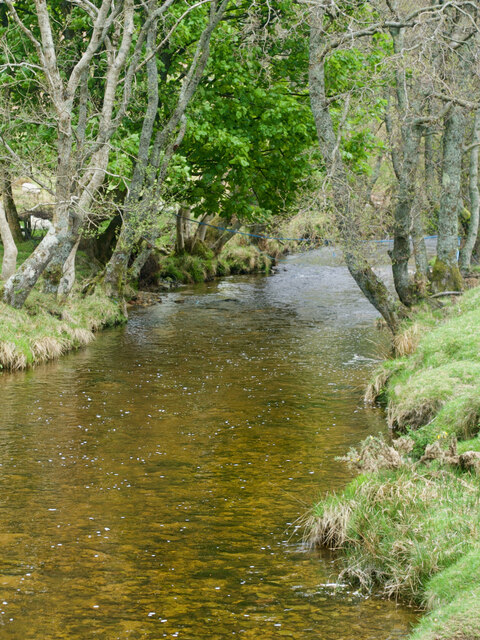
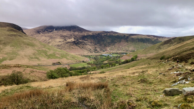
Coille Mòr Images
Images are sourced within 2km of 55.701513/-5.29054 or Grid Reference NR9350. Thanks to Geograph Open Source API. All images are credited.


Coille Mòr is located at Grid Ref: NR9350 (Lat: 55.701513, Lng: -5.29054)
Unitary Authority: North Ayrshire
Police Authority: Ayrshire
What 3 Words
///sculpting.slightly.spilling. Near Lochranza, North Ayrshire
Nearby Locations
Related Wikis

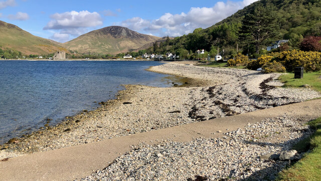
Lochranza Castle
Lochranza Castle is an L-plan fortified tower house situated on a promontory in Lochranza, on the northern part of the Isle of Arran in Scotland. Most...

Lochranza
Lochranza (Scottish Gaelic: Loch Raonasa) is a village located on the Isle of Arran in the Firth of Clyde, Scotland. The population, somewhat in decline...

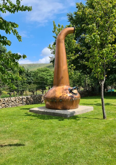
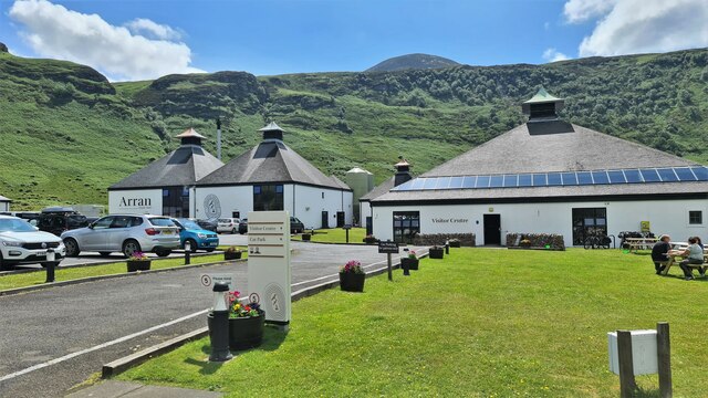
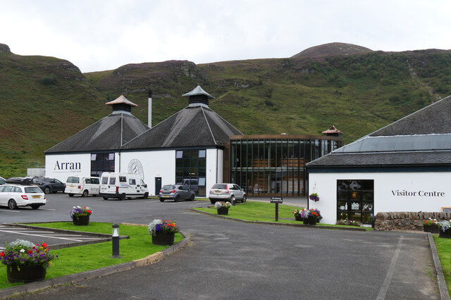
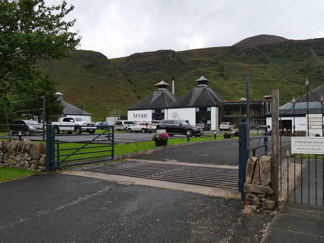
Arran distillery
Arran distillery is a whisky distillery in Lochranza, Scotland, Isle of Arran. In 1994 Arran Distillers was founded by Harold Currie, former director of...

Catacol
Catacol (Scottish Gaelic: Catagal) is a small village on the Isle of Arran, Scotland. == Geography == Catacol is located on the north west side of the...

Torr Meadhonach
Torr Meadhonach is a hill 332 metres (1,089 ft) high at the northernmost part of the Isle of Arran in western Scotland, east of the village of Lochranza...

Catacol Bay
Catacol Bay (Scottish Gaelic: Catagal bhàigh) is a small shallow-curved tidal, 310° facing, rocky coastal embayment located on the northwest tip of the...

HMS Vandal
HMS Vandal (P64) was a Royal Navy U-class submarine built by Vickers-Armstrong at Barrow-in-Furness, yard number 838. The submarine had the shortest career...

Creag Ghlas Laggan
Creag Ghlas Laggan (also known as Fionn Bhealach) is a hill on the Isle of Arran in south-western Scotland. It is the highest point of the seven-mile-long...
Nearby Amenities
Located within 500m of 55.701513,-5.29054Have you been to Coille Mòr?
Leave your review of Coille Mòr below (or comments, questions and feedback).