Hendredenny
Settlement in Glamorgan
Wales
Hendredenny
Hendredenny is a small village located in the county of Glamorgan, in South Wales, United Kingdom. Situated approximately 10 miles north of Cardiff, the village is nestled within the beautiful Welsh countryside, offering residents and visitors a peaceful and picturesque setting.
With a population of around 2,500 people, Hendredenny maintains a strong sense of community and provides a close-knit atmosphere for its residents. The village is primarily residential, consisting of a mix of housing types, including detached houses, semi-detached houses, and some apartment buildings.
Hendredenny benefits from its close proximity to the capital city of Cardiff. This allows residents to conveniently access a range of amenities and services, including shopping centers, restaurants, and entertainment venues. Additionally, the village is well-connected to the wider area, with good transportation links, including nearby train stations and major road networks.
For nature enthusiasts, Hendredenny offers plenty of opportunities to explore the surrounding countryside. The village is located near the Caerphilly Mountain, which provides stunning views and scenic walking trails. Outdoor activities, such as hiking and cycling, are popular among locals and visitors alike.
Education in Hendredenny is provided by several primary and secondary schools within the village and the wider area. This ensures that children have access to quality education without the need for long commutes.
Overall, Hendredenny is a charming village that offers a peaceful and idyllic lifestyle, with easy access to nearby urban amenities and stunning natural landscapes.
If you have any feedback on the listing, please let us know in the comments section below.
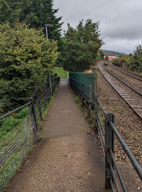
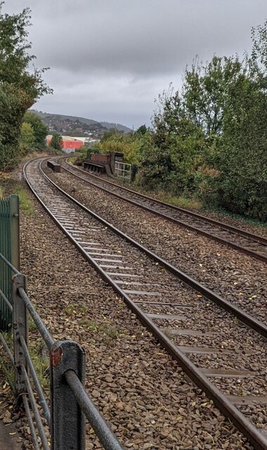
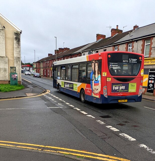
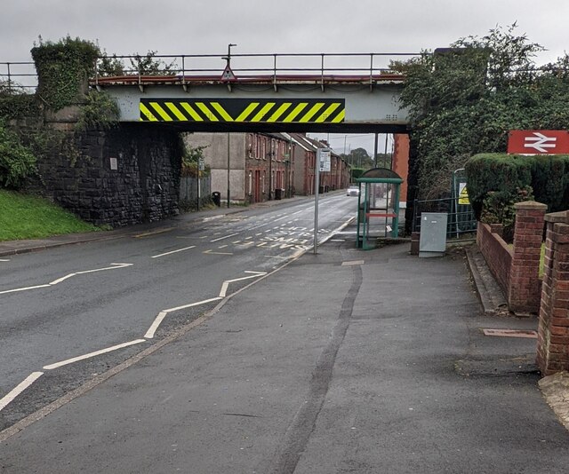
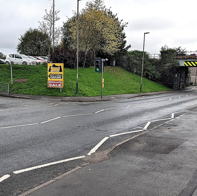
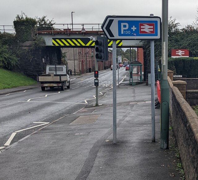
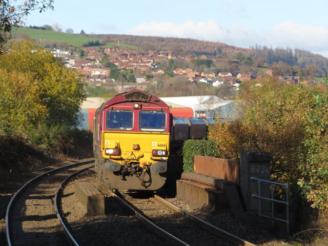
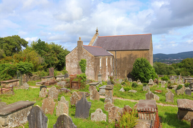
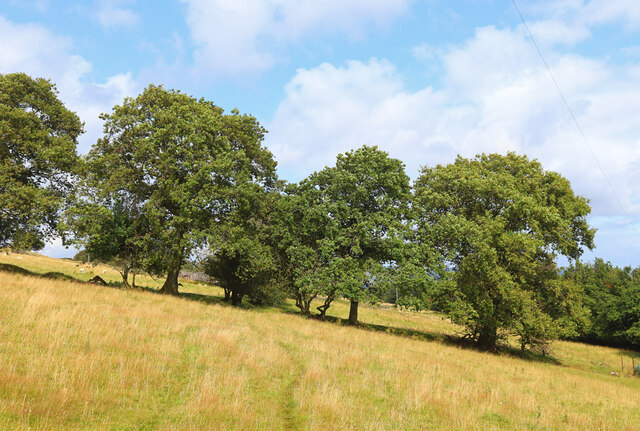
Hendredenny Images
Images are sourced within 2km of 51.579097/-3.2504911 or Grid Reference ST1387. Thanks to Geograph Open Source API. All images are credited.
Hendredenny is located at Grid Ref: ST1387 (Lat: 51.579097, Lng: -3.2504911)
Unitary Authority: Caerphilly
Police Authority: Gwent
What 3 Words
///pack.ends.nods. Near Abertridwr, Caerphilly
Related Wikis

St Cenydd Comprehensive School
St. Cenydd School is located in Caerphilly, South Wales. Situated in extensive grounds, with panoramic views of the semi-rural Caerphilly basin, St. Cenydd...
Penyrheol Halt railway station
Penyrheol Halt railway station served the area of Penyrheol, in the historical county of Glamorgan, Wales, from 1894 to 1964 on the Senghenydd branch of...
Trecenydd
Trecenydd is a residential area consisting mostly of council housing in Caerphilly, Wales, United Kingdom. It is near the centre of Caerphilly and the...

Penyrheol, Caerphilly
Penyrheol is a residential area (and electoral ward) of the town of Caerphilly, Wales. It is part of the community of Penyrheol, Trecenydd and Energlyn...
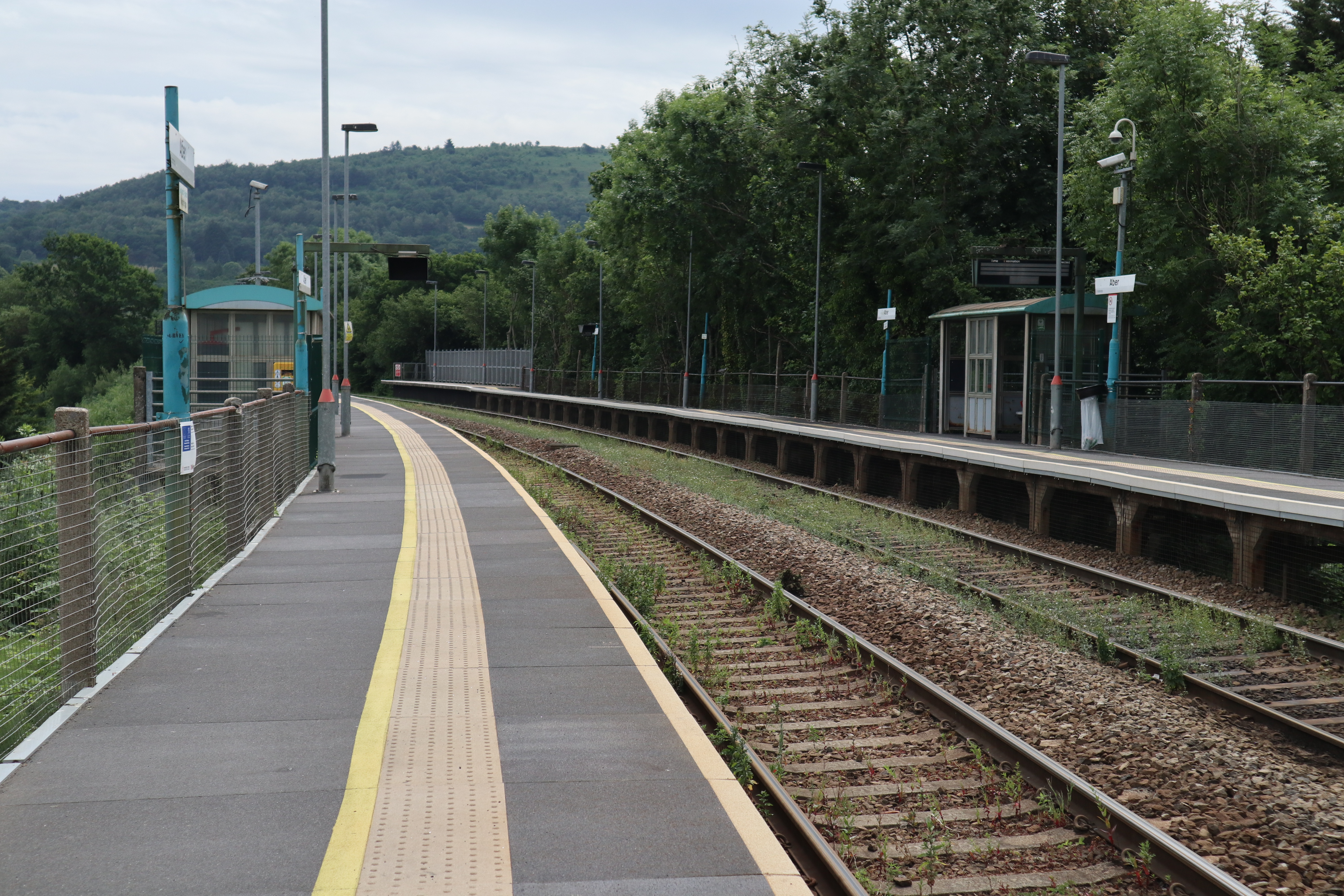
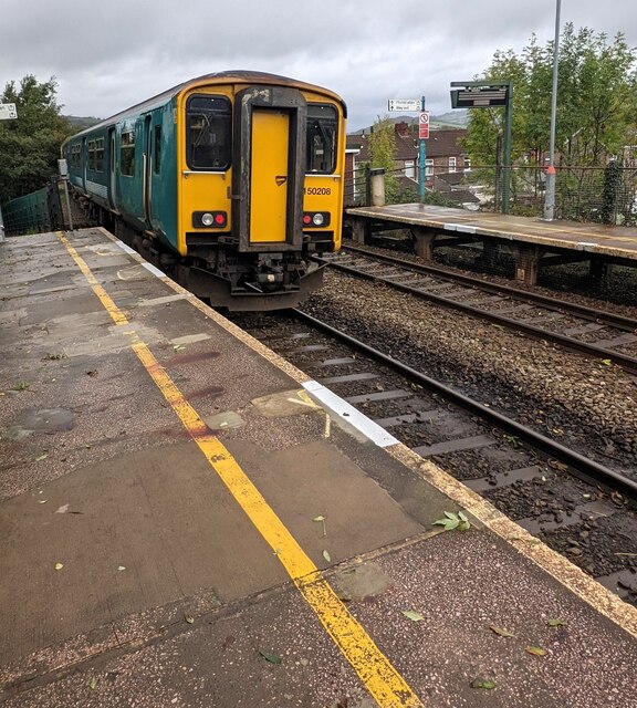
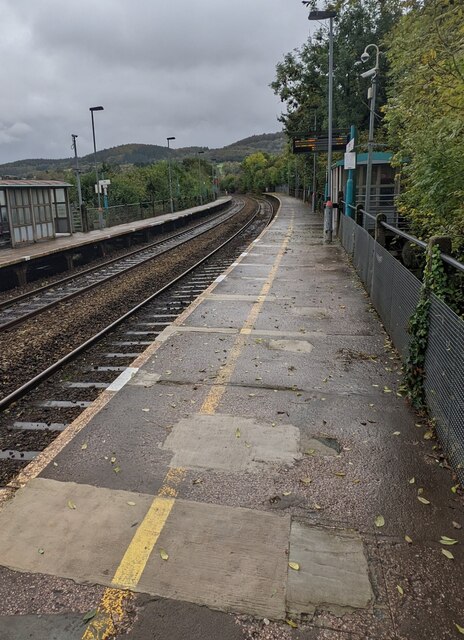
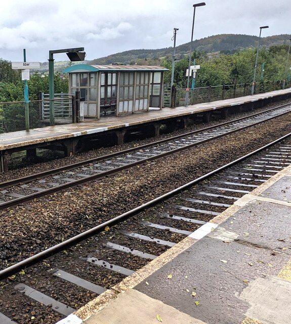
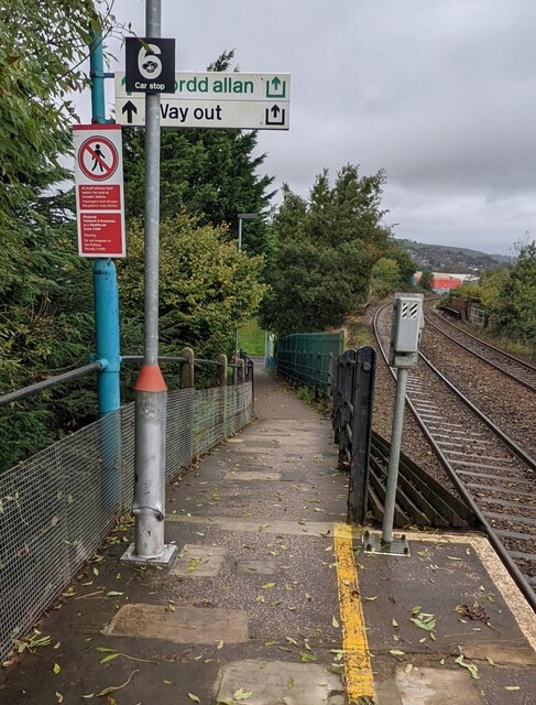
Aber railway station
Aber railway station is a railway station serving the town of Caerphilly, south Wales. It is a stop on the Rhymney Line 8+1⁄4 miles (13.3 km) north of...

Energlyn & Churchill Park railway station
Energlyn & Churchill Park railway station (Welsh: Eneu'r-glyn a Pharc Churchill) is a railway station in Caerphilly, Wales, on the Rhymney Line. The northbound...

Caerphilly District Miners Hospital
Caerphilly District Miners’ Hospital (Welsh: Ysbyty'r Glowyr Caerffili) was a community hospital in Caerphilly, Wales. It was managed by the Aneurin Bevan...
Nantgarw (High Level) Halt railway station
Nantgarw (High Level) Halt railway station was a halt on the disused Pontypridd, Caerphilly & Newport Railway. == History and description == The halt opened...
Nearby Amenities
Located within 500m of 51.579097,-3.2504911Have you been to Hendredenny?
Leave your review of Hendredenny below (or comments, questions and feedback).