Cwm yr Aber
Valley in Glamorgan
Wales
Cwm yr Aber
Cwm yr Aber is a small village located in the county of Glamorgan, Wales. Situated in the heart of the Glamorgan Valley, the village is nestled between rolling hills and picturesque countryside. With a population of around 500 residents, Cwm yr Aber retains a close-knit community feel.
The village is known for its stunning natural beauty, with the nearby River Aber flowing through the valley, providing a tranquil setting for residents and visitors alike. The surrounding hills offer breathtaking views of the countryside, making it an ideal location for outdoor enthusiasts and nature lovers.
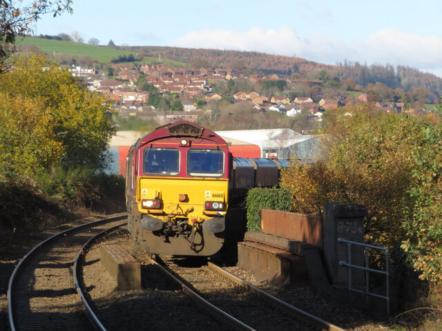
Cwm yr Aber has a rich history, with evidence of human settlement dating back to the prehistoric era. The area has been inhabited for centuries and was once a thriving coal mining community during the industrial revolution. Today, remnants of the village's mining past can still be seen, adding to its cultural and historical significance.
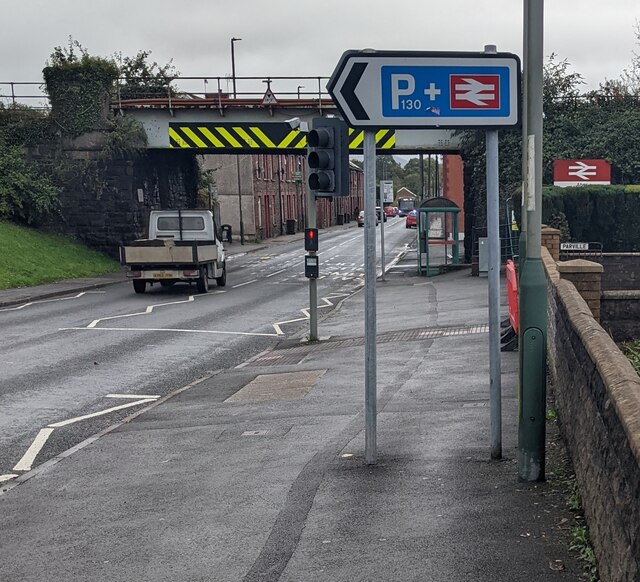
Despite its small size, Cwm yr Aber boasts a range of amenities for its residents. These include a local pub, village hall, and a primary school. The village also benefits from excellent transport links, with regular bus services connecting it to nearby towns and cities.
Overall, Cwm yr Aber is a charming village that offers a peaceful and idyllic setting for those seeking a rural lifestyle. With its natural beauty, rich history, and strong community spirit, it is a place that holds immense appeal for both residents and visitors.
If you have any feedback on the listing, please let us know in the comments section below.
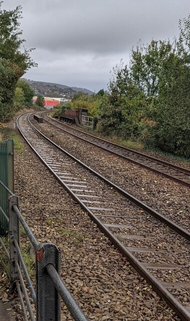
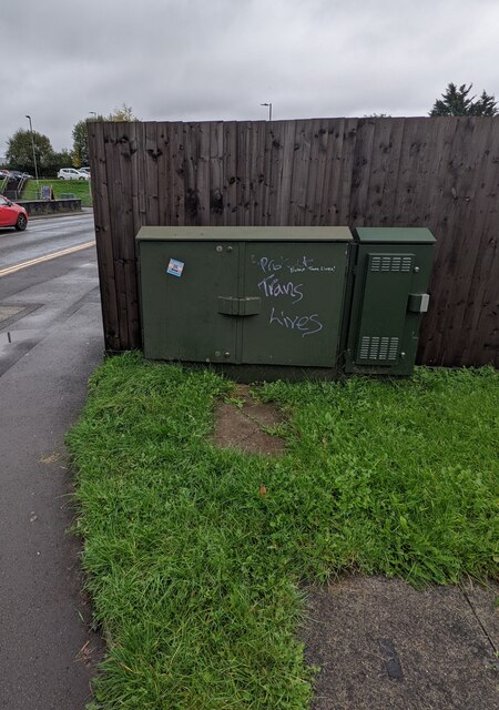
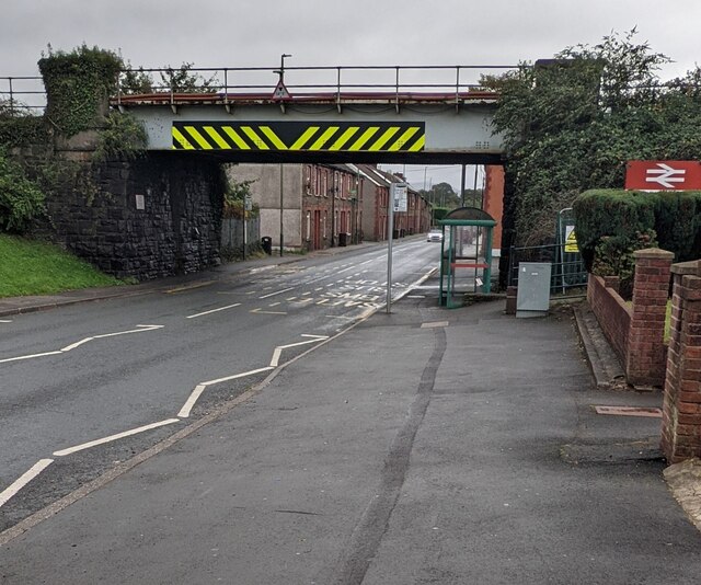
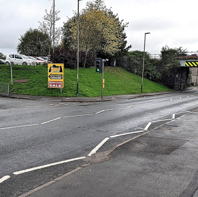
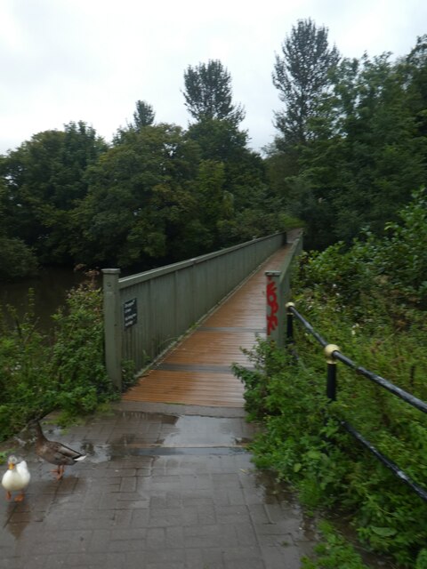
Cwm yr Aber Images
Images are sourced within 2km of 51.583107/-3.243832 or Grid Reference ST1387. Thanks to Geograph Open Source API. All images are credited.

Cwm yr Aber is located at Grid Ref: ST1387 (Lat: 51.583107, Lng: -3.243832)
Unitary Authority: Caerphilly
Police Authority: Gwent
What 3 Words
///digits.wings.simple. Near Abertridwr, Caerphilly
Related Wikis

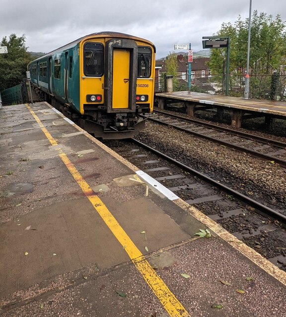
Penyrheol Halt railway station
Penyrheol Halt railway station served the area of Penyrheol, in the historical county of Glamorgan, Wales, from 1894 to 1964 on the Senghenydd branch of...
St Cenydd Comprehensive School
St. Cenydd School is located in Caerphilly, South Wales. Situated in extensive grounds, with panoramic views of the semi-rural Caerphilly basin, St. Cenydd...

Penyrheol, Caerphilly
Penyrheol is a residential area (and electoral ward) of the town of Caerphilly, Wales. It is part of the community of Penyrheol, Trecenydd and Energlyn...
Trecenydd
Trecenydd is a residential area consisting mostly of council housing in Caerphilly, Wales, United Kingdom. It is near the centre of Caerphilly and the...

Energlyn & Churchill Park railway station
Energlyn & Churchill Park railway station (Welsh: Eneu'r-glyn a Pharc Churchill) is a railway station in Caerphilly, Wales, on the Rhymney Line. The northbound...
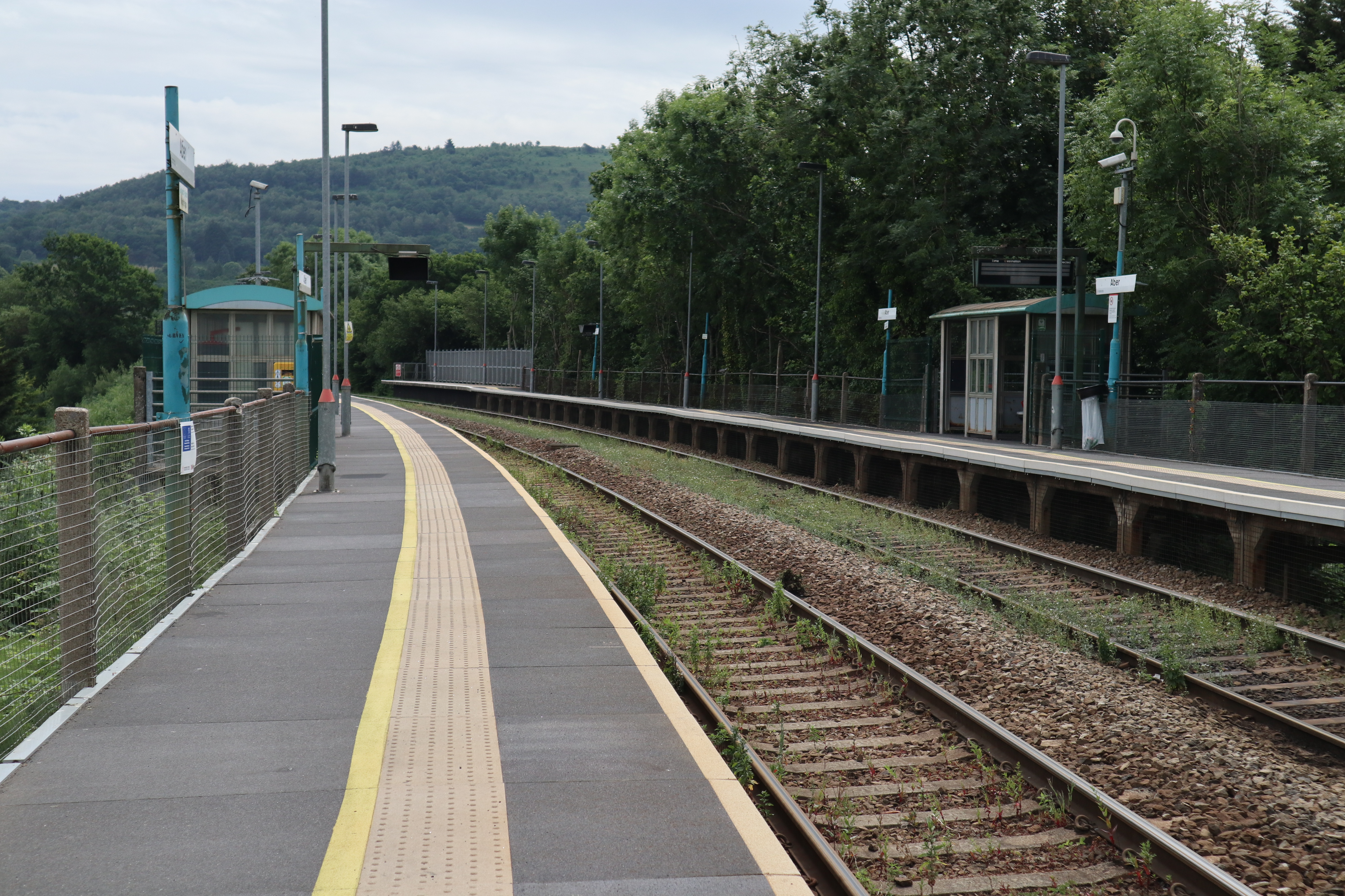
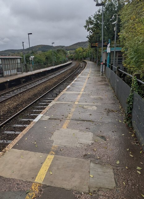
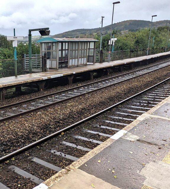
Aber railway station
Aber railway station is a railway station serving the town of Caerphilly, south Wales. It is a stop on the Rhymney Line 8+1⁄4 miles (13.3 km) north of...

Caerphilly District Miners Hospital
Caerphilly District Miners’ Hospital (Welsh: Ysbyty'r Glowyr Caerffili) was a community hospital in Caerphilly, Wales. It was managed by the Aneurin Bevan...
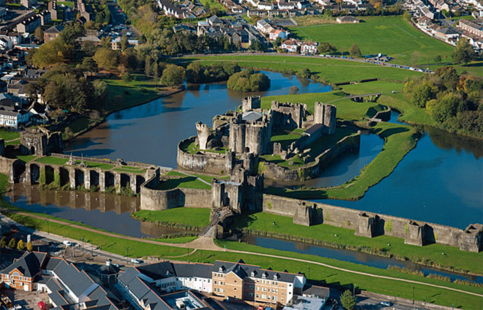
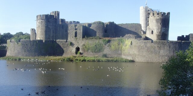
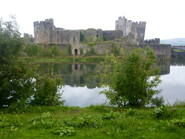
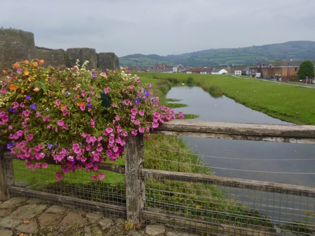
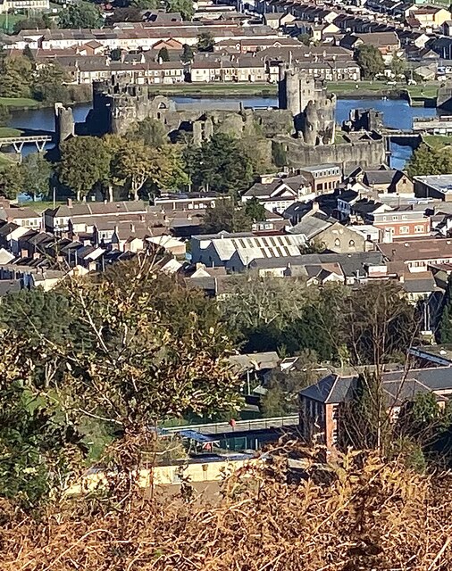
Caerphilly Castle
Caerphilly Castle (Welsh: Castell Caerffili) is a medieval fortification in Caerphilly in South Wales. The castle was constructed by Gilbert de Clare in...
Related Videos

Caerphilly Mountain: A hill doesn't have to be big to be beautiful
Caerphilly Mountain, very popular and complete with a burger restaurant nearby, but a great hill with sweeping views nonetheless ...

Craig yr Allt: Crags above South Wales
Craig yr Allt is a 273m hill in South Wales with great views towards Cardiff and the Bristol Channel. This hill forms part of 'The ...

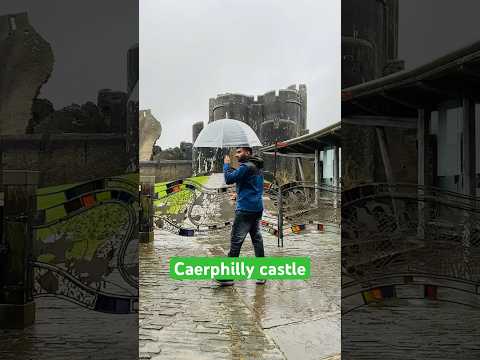
Caerphilly Castle - Drone views | Visit Wales | Travel in UK
Thinking of places to visit when the virus is over? This should definitely be on your list! Caerphilly Castle is the second largest ...
Nearby Amenities
Located within 500m of 51.583107,-3.243832Have you been to Cwm yr Aber?
Leave your review of Cwm yr Aber below (or comments, questions and feedback).