Hendredenny Park

Settlement in Glamorgan

Wales

Hendredenny Park

150208 leaving Aber station, Caerphilly Transport for Wales Class 150 diesel multiple unit viewed in October 2021.
150208 leaving Aber station, Caerphilly Credit: Jaggery

Hendredenny Park is a picturesque and historic park located in Glamorgan, Wales. Spread across several acres of lush greenery, the park offers a tranquil escape from the hustle and bustle of everyday life. It is situated on the outskirts of the town of Caerphilly, making it easily accessible for locals and tourists alike.

The park is known for its scenic beauty, with well-maintained lawns, flower beds, and a variety of mature trees. It offers plenty of space for leisurely walks, picnics, and outdoor activities. Visitors can enjoy the peaceful ambiance as they explore the park's vast grounds, which also include a small pond and a stream.

Hendredenny Park holds historical significance as well. It was once part of the Hendredenny Estate, which dates back to the 17th century. The parkland was later acquired by the Caerphilly County Borough Council and opened to the public as a recreational space. Despite its transformation, remnants of its past can still be seen, including the remains of a historic gatehouse.

The park also boasts excellent facilities for both children and adults. It features a playground area with swings, slides, and climbing frames, providing a fun-filled experience for young visitors. Additionally, there are well-maintained sports fields where people can engage in various activities such as football and rugby.

Overall, Hendredenny Park offers a delightful blend of natural beauty and historical charm. Its serene atmosphere and well-kept grounds make it a popular destination for locals and visitors seeking a peaceful retreat in the heart of Glamorgan.

If you have any feedback on the listing, please let us know in the comments section below.

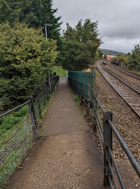
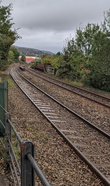
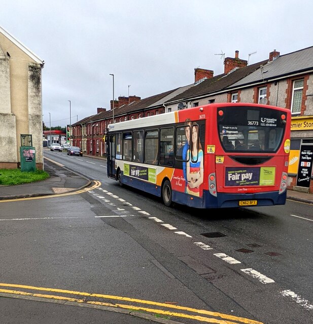
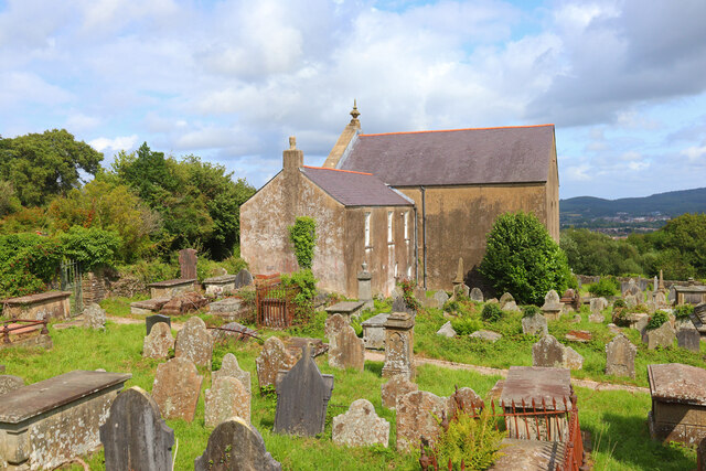
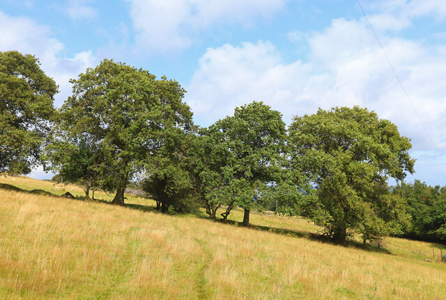
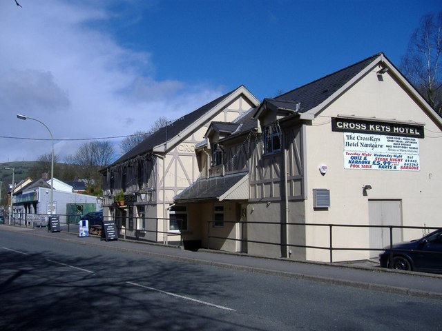
Hendredenny Park Images

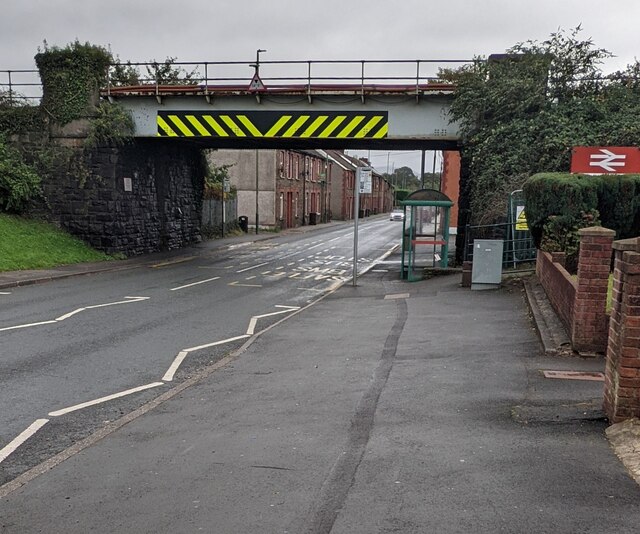
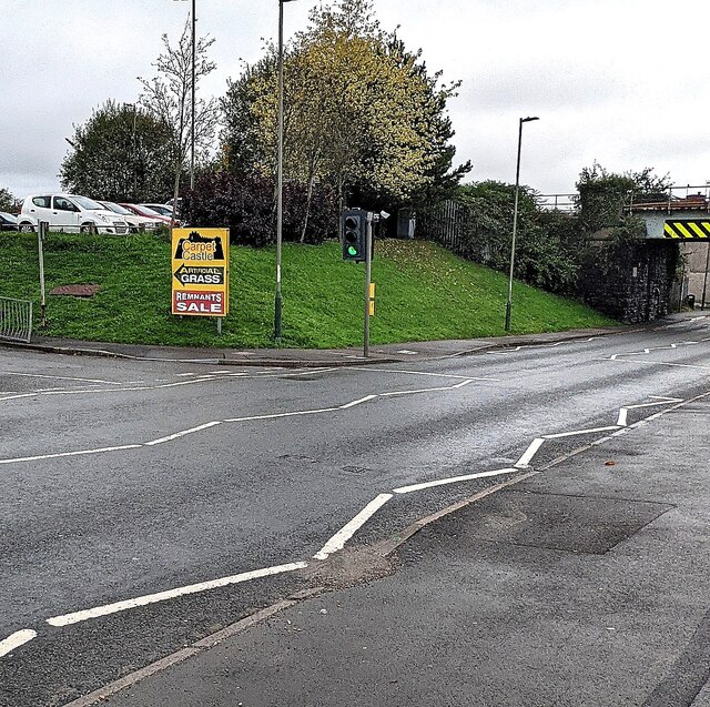
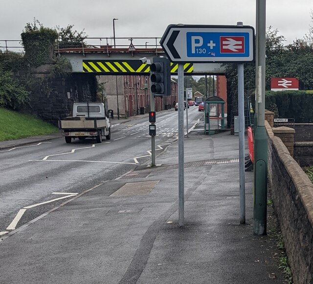
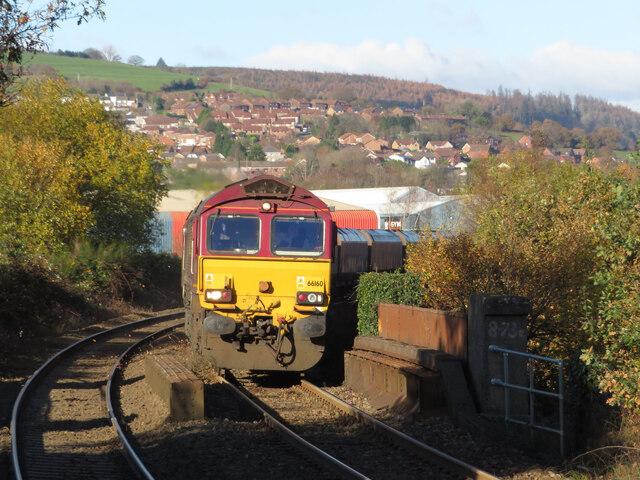
Images are sourced within 2km of 51.575127/-3.2568182 or Grid Reference ST1387. Thanks to Geograph Open Source API. All images are credited.

150208 leaving Aber station, Caerphilly Transport for Wales Class 150 diesel multiple unit viewed in October 2021.
150208 leaving Aber station, Caerphilly
Transport for Wales Class 150 diesel multiple unit viewed in October 2021.
Platform 2, Aber station, Caerphilly This platform is for trains to Bargoed and Rhymney. Platform 1 on the left is for trains to Cardiff and Penarth. Next station ahead is Caerphilly. In 2021 the unstaffed Aber station (Station Code ABE) is managed by Transport for Wales.
Platform 2, Aber station, Caerphilly
This platform is for trains to Bargoed and Rhymney. Platform 1 on the left is for trains to Cardiff and Penarth. Next station ahead is Caerphilly. In 2021 the unstaffed Aber station (Station Code ABE) is managed by Transport for Wales.
Passenger shelter on Platform 1, Aber station, Caerphilly Platform 1 is for trains to Cardiff and Penarth. Next station ahead is Caerphilly. In 2021 the unstaffed Aber station (Station Code ABE) is managed by Transport for Wales.
Passenger shelter on Platform 1, Aber station, Caerphilly
Platform 1 is for trains to Cardiff and Penarth. Next station ahead is Caerphilly. In 2021 the unstaffed Aber station (Station Code ABE) is managed by Transport for Wales.
Notices at the northern end of platform 2, Aber station, Caerphilly At the top of the path descending to the B4600 Nantgarw Road.
Notices at the northern end of platform 2, Aber station, Caerphilly
At the top of the path descending to the B4600 Nantgarw Road.
Exit path from platform 2, Aber station, Caerphilly Descending to the B4600 Nantgarw Road.
Exit path from platform 2, Aber station, Caerphilly
Descending to the B4600 Nantgarw Road.
Towards a bend in the railway near Aber station, Caerphilly Viewed from Aber station platform 2 looking towards the top of the bridge carrying the railway over the B4600 Nantgarw Road.
Towards a bend in the railway near Aber station, Caerphilly
Viewed from Aber station platform 2 looking towards the top of the bridge carrying the railway over the B4600 Nantgarw Road.
Stagecoach bus 36773, Nantgarw Road, Caerphilly On the B4600 Nantgarw Road in October 2021.
Stagecoach bus 36773, Nantgarw Road, Caerphilly
On the B4600 Nantgarw Road in October 2021.
Dark green telecoms cabinets alongside the B4600, Caerphilly On the south side of the B4600 Nantgarw Road.
Dark green telecoms cabinets alongside the B4600, Caerphilly
On the south side of the B4600 Nantgarw Road.
West side of Nantgarw Road railway bridge, Caerphilly Immediately north of Aber station, the bridge carries a two-track railway over the B4600 Nantgarw Road. Headroom shown is 14' 3". Ahead for Caerphilly town centre.
West side of Nantgarw Road railway bridge, Caerphilly
Immediately north of Aber station, the bridge carries a two-track railway over the B4600 Nantgarw Road. Headroom shown is 14' 3". Ahead for Caerphilly town centre.
Yellow sign on a grassy bank, Nantgarw Road, Caerphilly Text in view in October 2021 is "Carpet Castle" "ARTIFICIAL GRASS" and "REMNANTS SALE"
Yellow sign on a grassy bank, Nantgarw Road, Caerphilly
Text in view in October 2021 is "Carpet Castle" "ARTIFICIAL GRASS" and "REMNANTS SALE"
Park & ride car park direction sign, Nantgarw Road, Caerphilly The sign on the south side of the B4600 Nantgarw Road points towards Aber railway station car park. <a title="https://www.geograph.org.uk/photo/6022389" href="https://www.geograph.org.uk/photo/6022389">Link</a> The sign shows 130 parking spaces. The top of the Aber station name sign is on the right.
Park & ride car park direction sign, Nantgarw Road, Caerphilly
The sign on the south side of the B4600 Nantgarw Road points towards Aber railway station car park. Link The sign shows 130 parking spaces. The top of the Aber station name sign is on the right.
Coal train at Aber Class 66 locomotive No. 66160 approaches Aber station with a loaded coal train from Cwmbargoed, bound for Margam.
Coal train at Aber
Class 66 locomotive No. 66160 approaches Aber station with a loaded coal train from Cwmbargoed, bound for Margam.
Groeswen Chapel Cemetery and former chapel at Groeswen.
Groeswen Chapel
Cemetery and former chapel at Groeswen.
Rhymney Valley Ridgeway Footpath near Groeswen.
Rhymney Valley Ridgeway
Footpath near Groeswen.
Abandoned Building On the Rhymney Valley Ridgeway.
Abandoned Building
On the Rhymney Valley Ridgeway.
Rhymney Valley Ridgeway Footpath near the reservoir.
Rhymney Valley Ridgeway
Footpath near the reservoir.
Near Abertidwr View from the minor road looking north east.
Near Abertidwr
View from the minor road looking north east.
Y Groes Wen Chapel First built in 1742, possibly to the designs of William Edwards who built Libanus in Morriston in 1782 (NPRN 13492), Groeswen Independent Chapel was the first meeting place in Wales of the Calvinistic Methodists. The chapel was enlarged/rebuilt in 1766, enlarged further in 1830 to the design of architect William Lewis and the burial ground extended in 1865. The present chapel is built in the Sub-Classical style with two storeys, a gable-entry plan and a large arch in the facade. Groeswen is now Grade 2 Listed for its historical association with a number of religious leaders and their burial in the graveyard.
Y Groes Wen Chapel
First built in 1742, possibly to the designs of William Edwards who built Libanus in Morriston in 1782 (NPRN 13492), Groeswen Independent Chapel was the first meeting place in Wales of the Calvinistic Methodists. The chapel was enlarged/rebuilt in 1766, enlarged further in 1830 to the design of architect William Lewis and the burial ground extended in 1865. The present chapel is built in the Sub-Classical style with two storeys, a gable-entry plan and a large arch in the facade. Groeswen is now Grade 2 Listed for its historical association with a number of religious leaders and their burial in the graveyard.
Show me another place!

Hendredenny Park is located at Grid Ref: ST1387 (Lat: 51.575127, Lng: -3.2568182)

Unitary Authority: Caerphilly

Police Authority: Gwent

What 3 Words

///loving.cars.ledge. Near Abertridwr, Caerphilly

Related Wikis

Trecenydd

Trecenydd is a residential area consisting mostly of council housing in Caerphilly, Wales, United Kingdom. It is near the centre of Caerphilly and the...

St Cenydd Comprehensive School

St. Cenydd School is located in Caerphilly, South Wales. Situated in extensive grounds, with panoramic views of the semi-rural Caerphilly basin, St. Cenydd...

Nantgarw (High Level) Halt railway station

Nantgarw (High Level) Halt railway station was a halt on the disused Pontypridd, Caerphilly & Newport Railway. == History and description == The halt opened...

Nantgarw

Nantgarw is a village in the county borough of Rhondda Cynon Taf, Wales, near Cardiff. From an electoral and administrative perspective Nantgarw falls...

Nearby Amenities

Located within 500m of 51.575127,-3.2568182
Y Groes-wen
Place: hamlet
Lat/Long: 51.5749603/-3.2604935
Pub
White Cross Inn
Wikidata: Q80584568
Lat/Long: 51.574966/-3.2607188
Power: pole
Lat/Long: 51.5754593/-3.261424
Power: pole
Lat/Long: 51.5749359/-3.2626498
Power: pole
Lat/Long: 51.5745541/-3.2637012
Barrier: kissing_gate
Lat/Long: 51.5715735/-3.2598955
Power: tower
Lat/Long: 51.5716051/-3.2551852
Power: tower
Lat/Long: 51.5715235/-3.2578835
Power: tower
Lat/Long: 51.5719986/-3.2602224
Power: tower
Lat/Long: 51.572342/-3.2619175
Power: pole
Lat/Long: 51.5788981/-3.2547319
Power: pole
Lat/Long: 51.5778646/-3.2554346
Power: pole
Lat/Long: 51.5772512/-3.2569689
Power: pole
Lat/Long: 51.5766228/-3.2585138
Power: pole
Lat/Long: 51.5761094/-3.2598361
Barrier: kissing_gate
Lat/Long: 51.5729507/-3.2627371
Barrier: kissing_gate
Lat/Long: 51.5741099/-3.2626951
Direction: 145
Generator Method: photovoltaic
Generator Output Electricity: yes
Generator Solar Modules: 16
Generator Source: solar
Generator Type: solar_photovoltaic_panel
Location: roof
Power: generator
Lat/Long: 51.5708725/-3.2562795
Direction: 145
Generator Method: photovoltaic
Generator Output Electricity: yes
Generator Solar Modules: 12
Generator Source: solar
Generator Type: solar_photovoltaic_panel
Location: roof
Power: generator
Lat/Long: 51.5752409/-3.2524051
Telephone
Defibrillator
Booth: K6
Covered: booth
Defibrillator Location: inside old red phone box by White Cross Inn, Groeswen
Emergency: defibrillator
Listed Status: Grade II
Man Made: telephone_box
Lat/Long: 51.5750083/-3.2606575
Post Box
Post Box Type: lamp
Lat/Long: 51.5750578/-3.2606504
The data included in this document is from www.openstreetmap.org. The data is made available under ODbL.

Have you been to Hendredenny Park?

Leave your review of Hendredenny Park below (or comments, questions and feedback).