Pen-yr-heol, Trecenydd ac Eneu'r-glyn
Community in Glamorgan
Wales
Pen-yr-heol, Trecenydd ac Eneu'r-glyn
Pen-yr-heol, Trecenydd ac Eneu'r-glyn is a community located in the county of Glamorgan, Wales. Situated in the southern part of the country, it is part of the Caerphilly County Borough.
Pen-yr-heol is a small village within the community, known for its picturesque surroundings and close-knit community. The village is primarily residential, with a mix of traditional and modern houses. It has a population of around 2,000 people.
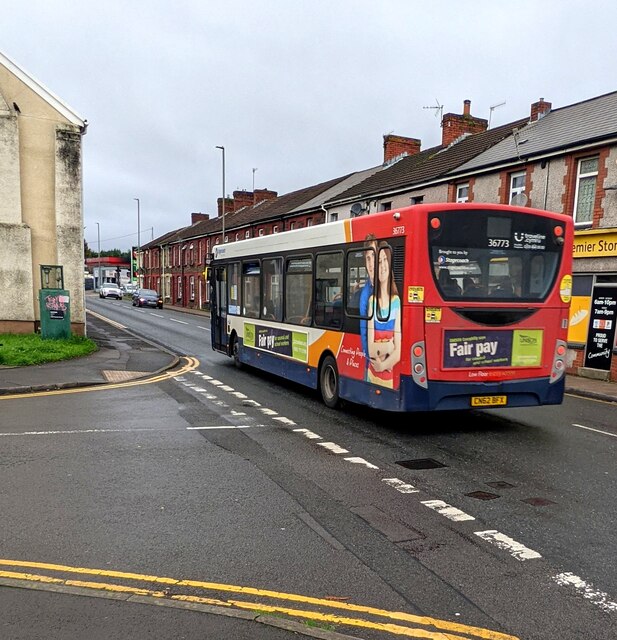
Trecenydd is another village within the community, located adjacent to Pen-yr-heol. It is slightly larger in size and has a population of approximately 4,000 residents. Trecenydd has a range of amenities, including shops, schools, and recreational facilities. The village also benefits from being close to the bustling town of Caerphilly, which offers additional amenities and employment opportunities.
Eneu'r-glyn is a smaller settlement within the community, situated to the west of Trecenydd. It is a predominantly rural area, characterized by its rolling hills and farmland. Eneu'r-glyn provides a peaceful and tranquil environment, ideal for those seeking a countryside escape.
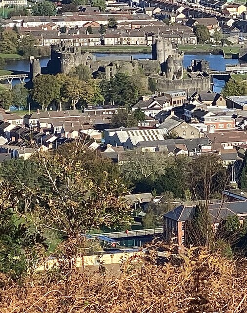
The community of Pen-yr-heol, Trecenydd ac Eneu'r-glyn offers a range of recreational activities and attractions. The nearby Caerphilly Castle, one of the largest castles in Wales, is a popular tourist destination. The surrounding countryside also offers excellent opportunities for hiking, cycling, and exploring nature.
Overall, Pen-yr-heol, Trecenydd ac Eneu'r-glyn is a charming community that combines the tranquility of rural living with the convenience of nearby amenities. It is an ideal place for those seeking a peaceful and close-knit community, while still being within easy reach of larger towns and cities.
If you have any feedback on the listing, please let us know in the comments section below.
Pen-yr-heol, Trecenydd ac Eneu'r-glyn Images
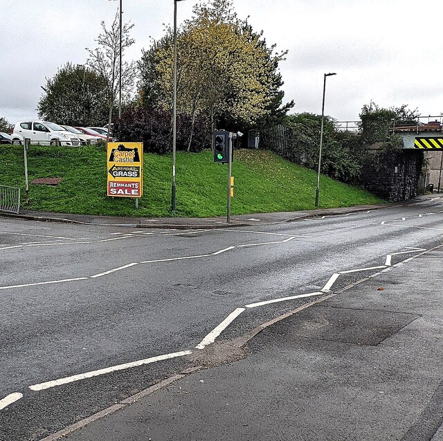
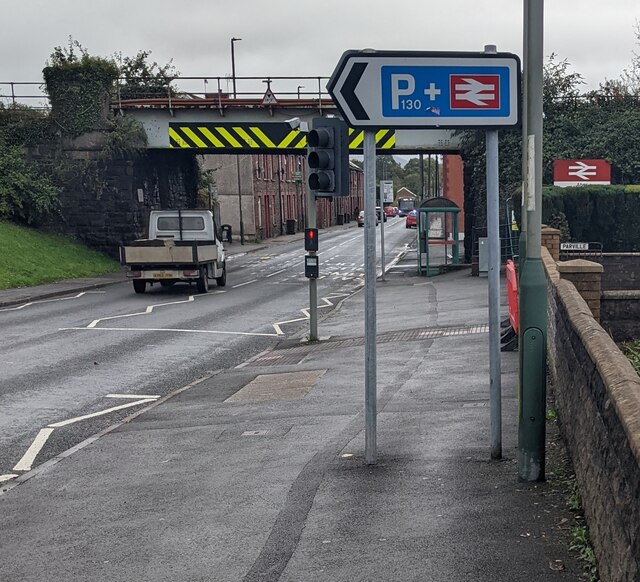
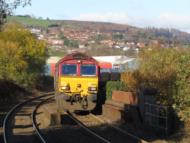
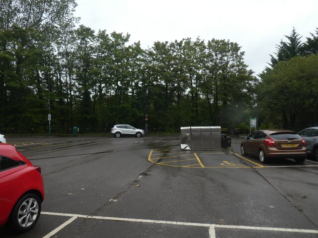
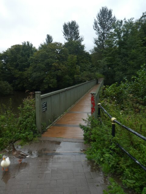
Images are sourced within 2km of 51.582641/-3.245319 or Grid Reference ST1387. Thanks to Geograph Open Source API. All images are credited.
Pen-yr-heol, Trecenydd ac Eneu'r-glyn is located at Grid Ref: ST1387 (Lat: 51.582641, Lng: -3.245319)
Unitary Authority: Caerphilly
Police Authority: Gwent
Also known as: Penyrheol, Trecenydd and Energlyn
What 3 Words
///will.funny.hired. Near Abertridwr, Caerphilly
Related Wikis

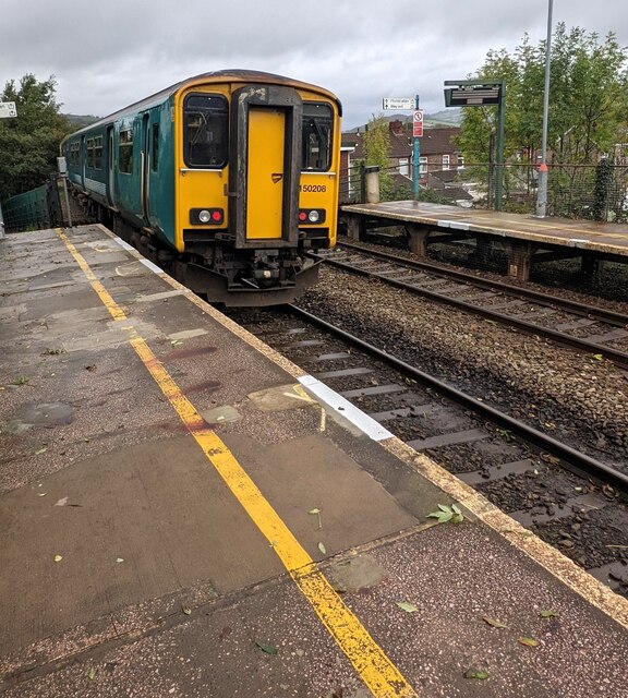
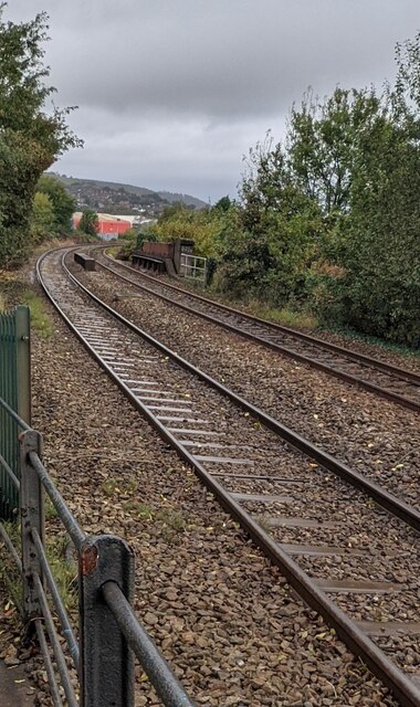
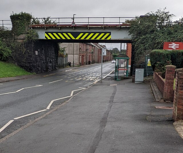
Penyrheol Halt railway station
Penyrheol Halt railway station served the area of Penyrheol, in the historical county of Glamorgan, Wales, from 1894 to 1964 on the Senghenydd branch of...
St Cenydd Comprehensive School
St. Cenydd School is located in Caerphilly, South Wales. Situated in extensive grounds, with panoramic views of the semi-rural Caerphilly basin, St. Cenydd...
Trecenydd
Trecenydd is a residential area consisting mostly of council housing in Caerphilly, Wales, United Kingdom. It is near the centre of Caerphilly and the...

Penyrheol, Caerphilly
Penyrheol is a residential area (and electoral ward) of the town of Caerphilly, Wales. It is part of the community of Penyrheol, Trecenydd and Energlyn...

Energlyn & Churchill Park railway station
Energlyn & Churchill Park railway station (Welsh: Eneu'r-glyn a Pharc Churchill) is a railway station in Caerphilly, Wales, on the Rhymney Line. The northbound...
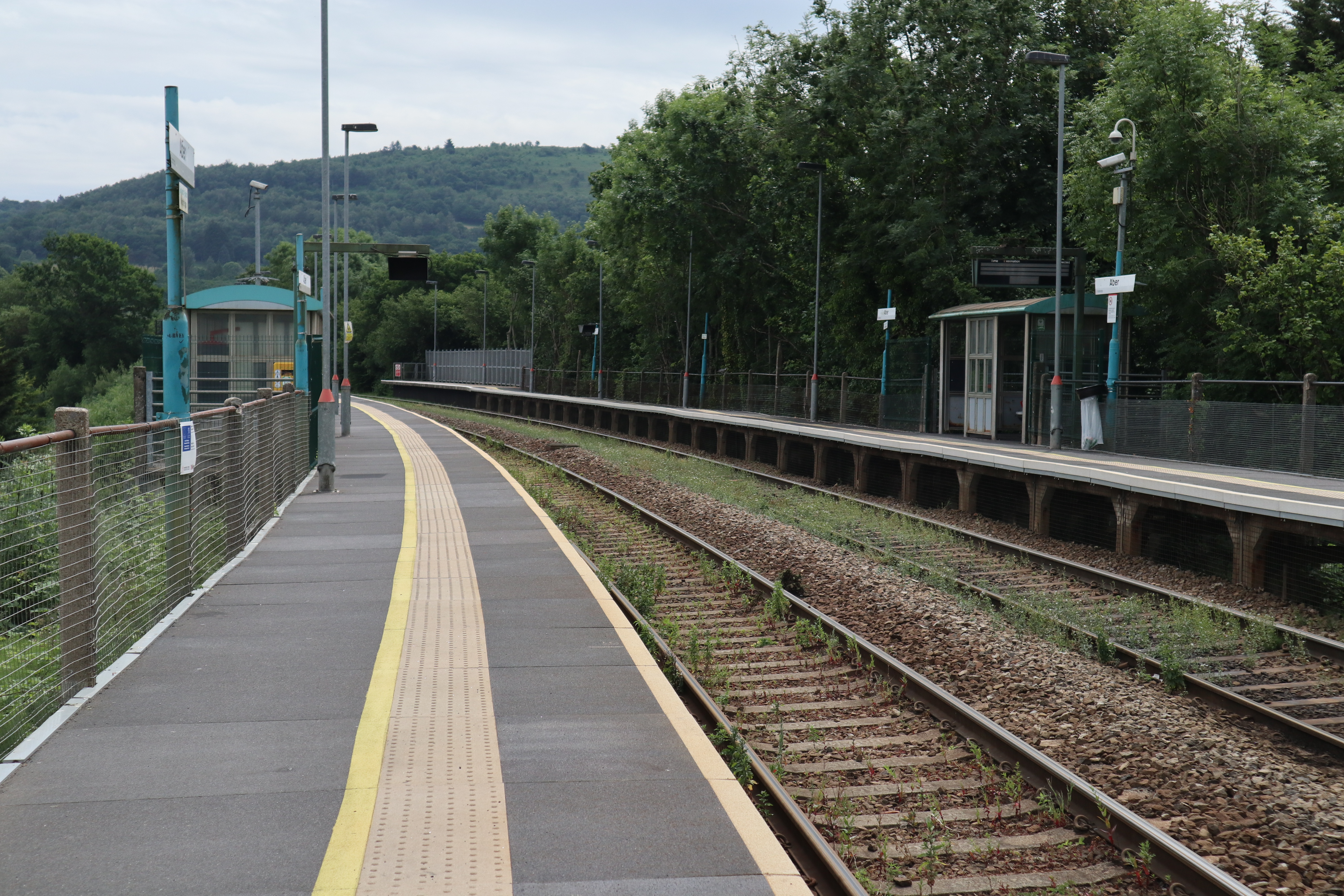
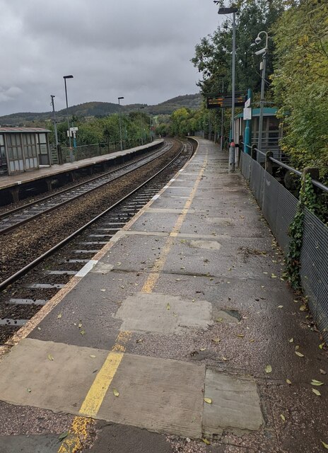
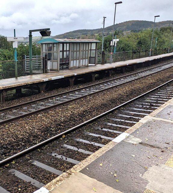
Aber railway station
Aber railway station is a railway station serving the town of Caerphilly, south Wales. It is a stop on the Rhymney Line 8+1⁄4 miles (13.3 km) north of...

Caerphilly District Miners Hospital
Caerphilly District Miners’ Hospital (Welsh: Ysbyty'r Glowyr Caerffili) was a community hospital in Caerphilly, Wales. It was managed by the Aneurin Bevan...
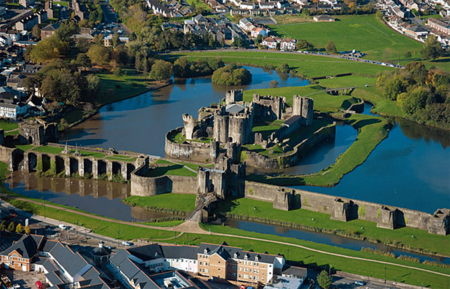
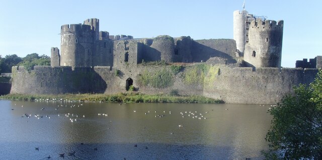
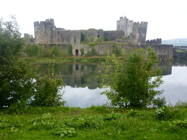
Caerphilly Castle
Caerphilly Castle (Welsh: Castell Caerffili) is a medieval fortification in Caerphilly in South Wales. The castle was constructed by Gilbert de Clare in...
Nearby Amenities
Located within 500m of 51.582641,-3.245319Have you been to Pen-yr-heol, Trecenydd ac Eneu'r-glyn?
Leave your review of Pen-yr-heol, Trecenydd ac Eneu'r-glyn below (or comments, questions and feedback).