Hendre
Settlement in Herefordshire
England
Hendre
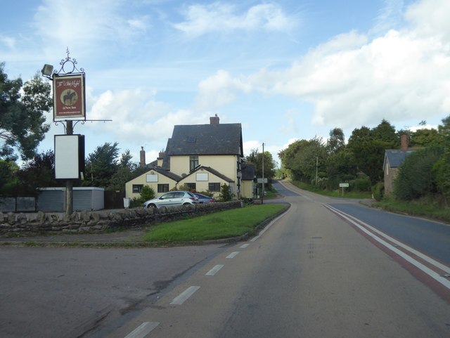
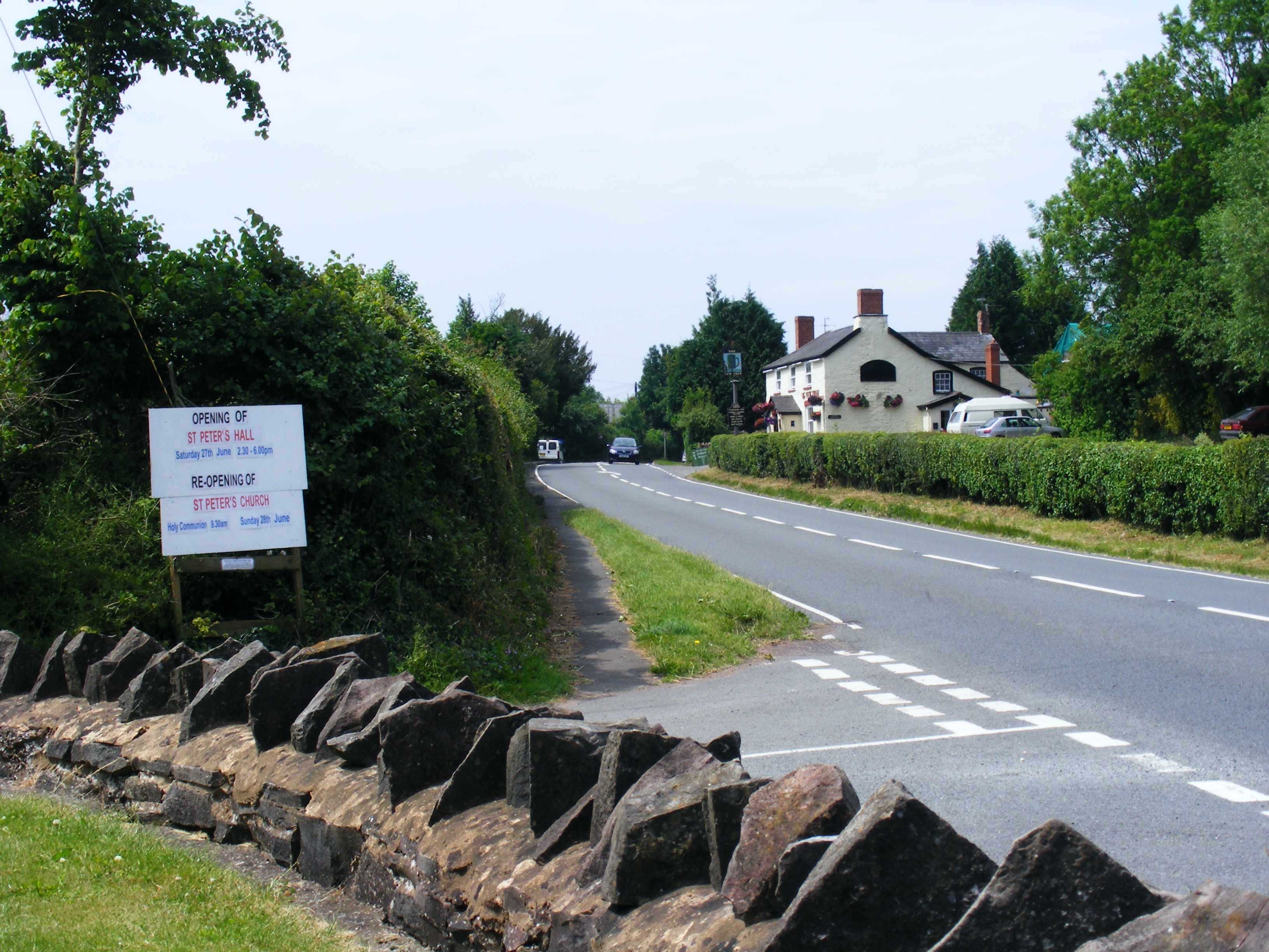
Hendre is a small rural village located in the county of Herefordshire, England. Situated just a few miles north of the city of Hereford, Hendre is nestled amidst picturesque countryside and rolling hills, boasting a tranquil and idyllic setting.
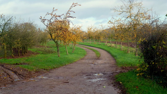
The village is home to a close-knit community of around 200 residents. Characterized by its charming cottages and traditional architecture, Hendre exudes a sense of historical charm. The surrounding landscape is predominantly agricultural, with sprawling fields and farmland dominating the scenery.
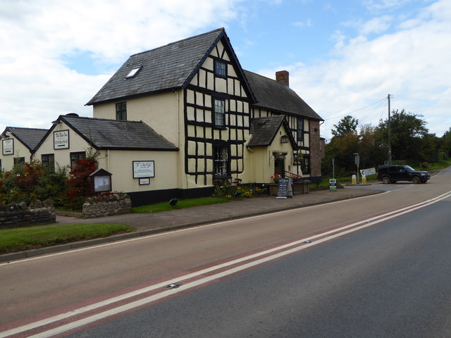
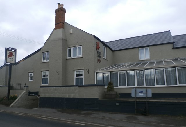
Despite its small size, Hendre offers a range of amenities and facilities to cater to its residents. These include a local village hall, a small convenience store, and a cozy pub that serves as a central gathering place for locals. The village also benefits from its proximity to Hereford, where residents can access a wider range of services, including schools, healthcare facilities, and shopping centers.
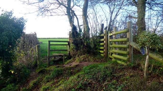
Nature enthusiasts will find plenty to admire in Hendre, with its close proximity to the Herefordshire countryside offering ample opportunities for outdoor activities. The village is surrounded by scenic walking and cycling routes, providing breathtaking views of the rural landscape. Additionally, the nearby River Wye offers opportunities for fishing and boating.
Overall, Hendre offers a serene and peaceful lifestyle, perfect for those seeking a quieter pace of life away from the hustle and bustle of larger towns and cities. With its beautiful surroundings and strong sense of community, Hendre is a hidden gem within the Herefordshire countryside.
If you have any feedback on the listing, please let us know in the comments section below.
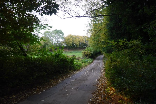
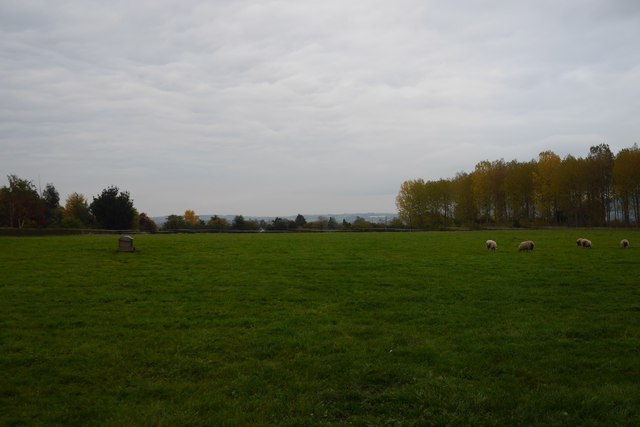
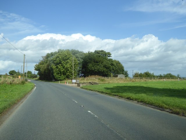
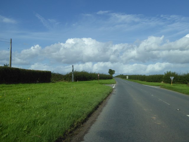
Hendre Images
Images are sourced within 2km of 51.906823/-2.6555276 or Grid Reference SO5523. Thanks to Geograph Open Source API. All images are credited.


Hendre is located at Grid Ref: SO5523 (Lat: 51.906823, Lng: -2.6555276)
Unitary Authority: County of Herefordshire
Police Authority: West Merica
What 3 Words
///indicates.stir.blesses. Near Pencoyd, Herefordshire
Related Wikis

Glewstone Court Hotel
Glewstone Court, in the hamlet of Glewstone and the civil parish of Marstow in Herefordshire, England, is a building of historical significance listed...

Redmire Pool
Redmire Pool is near Ross-on-Wye in Herefordshire, England. At only 3 acres (1.2 ha) in size it is considered by angling experts to be the home of carp...
Peterstow
Peterstow is a village and civil parish in Herefordshire, England, situated about 2 miles (3 km) west of Ross-on-Wye on the A49. == General description... ==
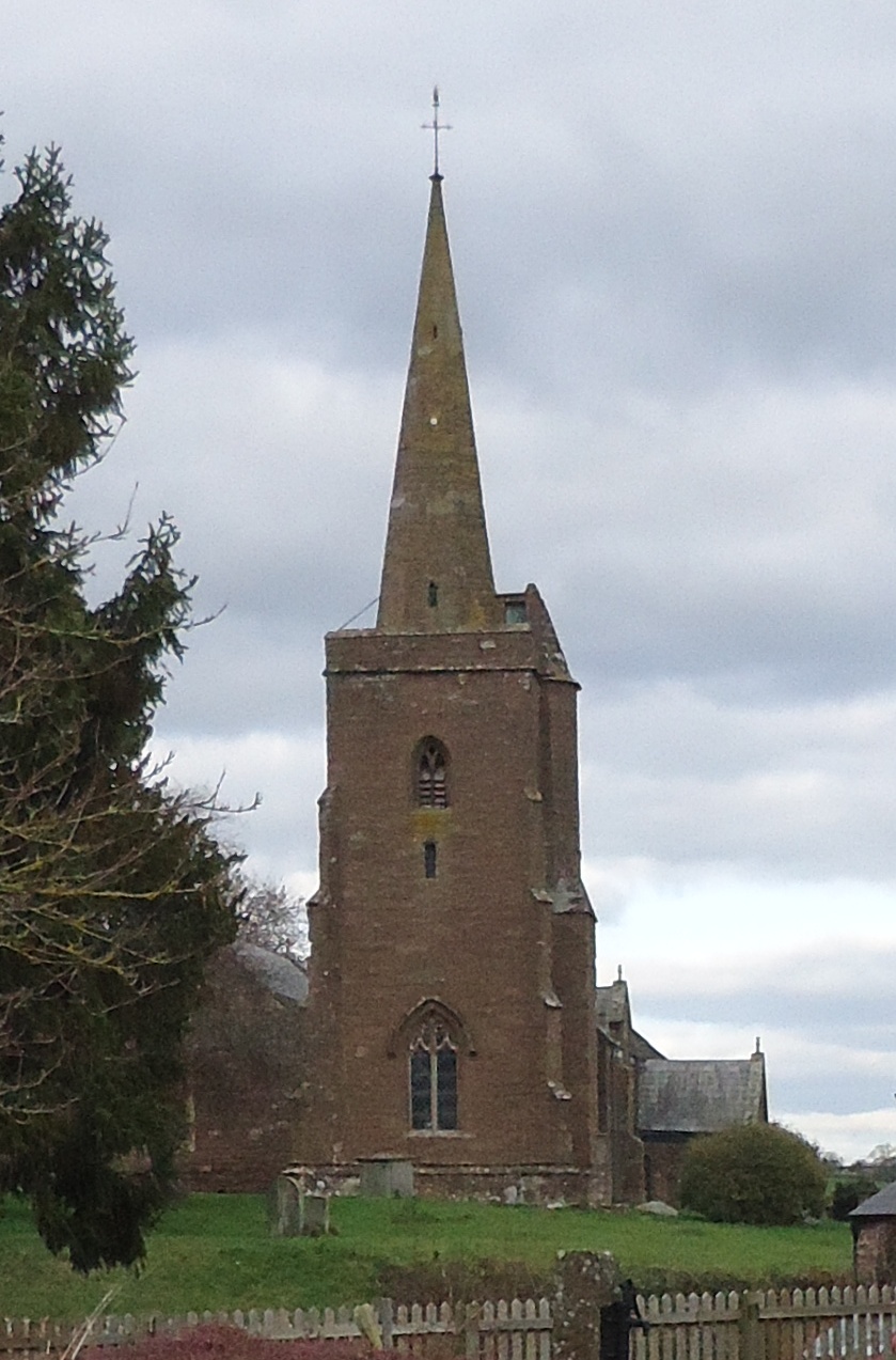
Church of St Deinst, Llangarron
The Church of St Deinst, Llangarron, Herefordshire is a church of the Diocese of Hereford, England. The church is dedicated to the Celtic saint Deiniol...

Hill Court Manor
Hill Court Manor (grid reference SO574216) is a country house built in 1700 at Hom Green, Walford near Ross-on-Wye in Herefordshire. The house is a Grade...
Llangarron
Llangarron is a small village and civil parish in southwest Herefordshire within 7 miles (11 km) of both Ross-on-Wye (Herefordshire, England) and Monmouth...

St Dubricius' Church, Hentland
St Dubricius’ Church is a Grade II* listed parish church in Hentland, Herefordshire, England. == History == Parts of the north wall of the church date...

Hentland
Hentland is a hamlet and civil parish about 5 miles (8 km) north-west of Ross-on-Wye in Herefordshire, England. The small hamlet settlement of Hentland...
Nearby Amenities
Located within 500m of 51.906823,-2.6555276Have you been to Hendre?
Leave your review of Hendre below (or comments, questions and feedback).