Hendra

Settlement in Cornwall

England

Hendra

Dowgas Farm A view across Dowgas Farm towards the massive waste tips of the clay pits north of St Austell.
Dowgas Farm Credit: Alan Hunt

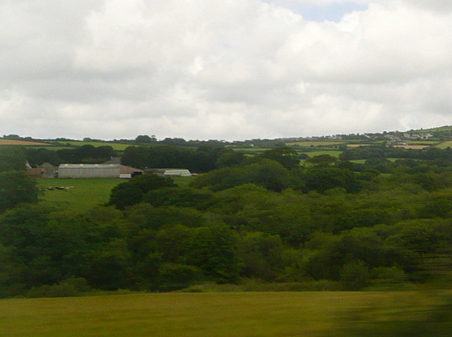
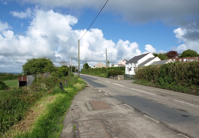
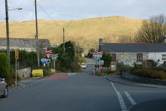
Hendra is a small village located in the county of Cornwall, England. Situated in the southwestern part of the country, it lies just a few miles north of the popular coastal town of Newquay. With a population of around 500 residents, Hendra is known for its picturesque countryside and tranquil atmosphere.

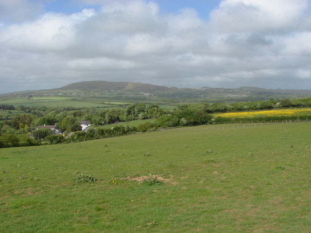
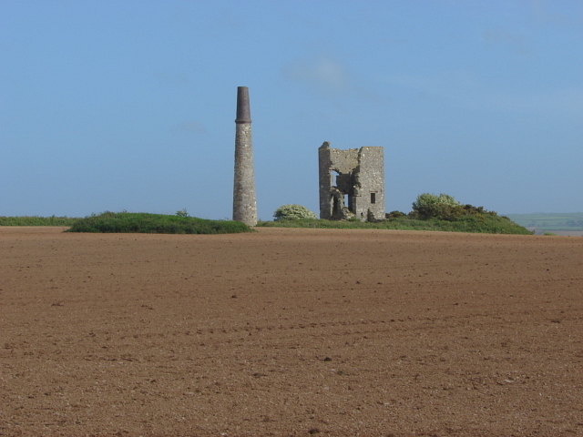
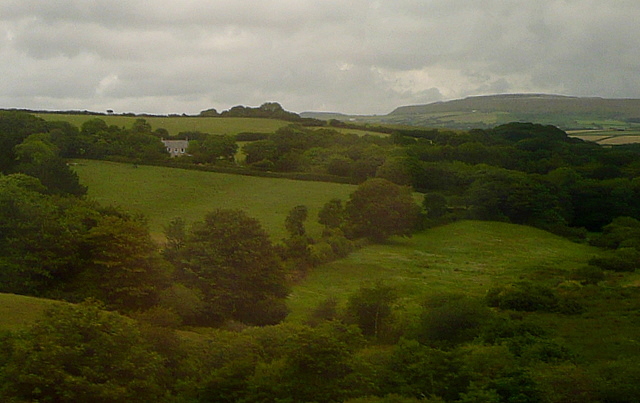
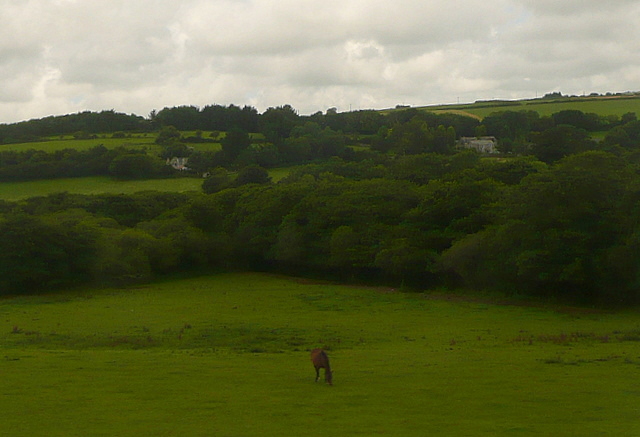
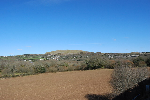
The village is set amidst rolling hills and lush green fields, creating a stunning backdrop for visitors and locals alike. It is surrounded by small farms and traditional Cornish cottages, adding to its quaint charm. Hendra's landscape is dotted with ancient stone walls, showcasing the area's rich history and heritage.

Despite its small size, Hendra offers a range of amenities to its residents. The village has a primary school, a village hall, and a local pub, serving as a social hub for the community. Additionally, there are several walking and cycling trails that meander through the surrounding countryside, allowing visitors to explore the area's natural beauty.

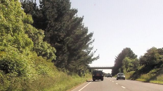
For those seeking a beach experience, Hendra is conveniently located near some of Cornwall's most renowned beaches. The sandy shores of Newquay, Perranporth, and Fistral are all within a short drive, offering opportunities for swimming, surfing, and sunbathing.

Overall, Hendra is a peaceful and idyllic village, perfect for those looking to escape the hustle and bustle of city life. Its stunning surroundings and close proximity to the coast make it a desirable destination for nature lovers and beach enthusiasts alike.

If you have any feedback on the listing, please let us know in the comments section below.
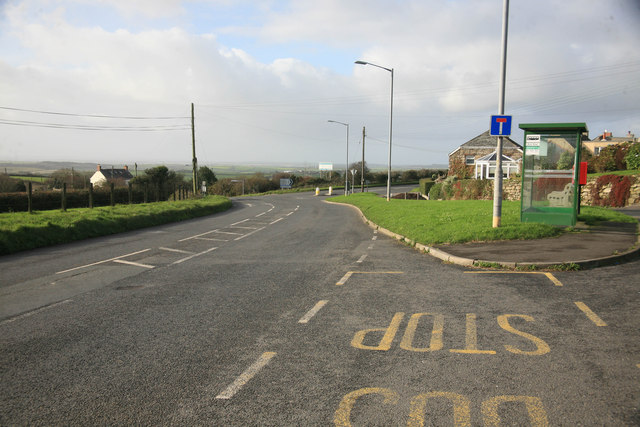
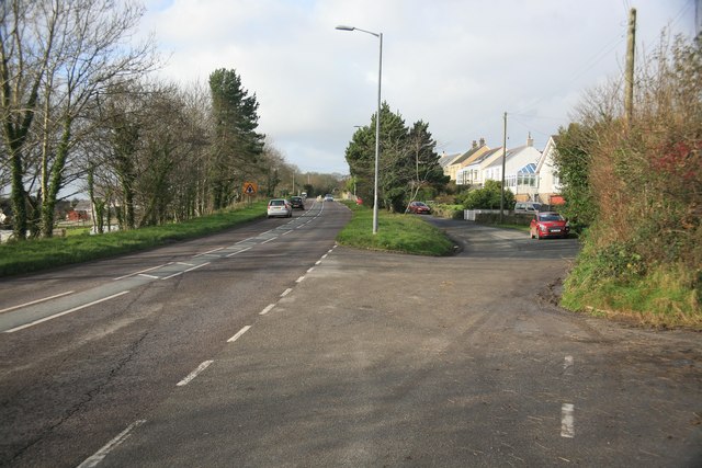
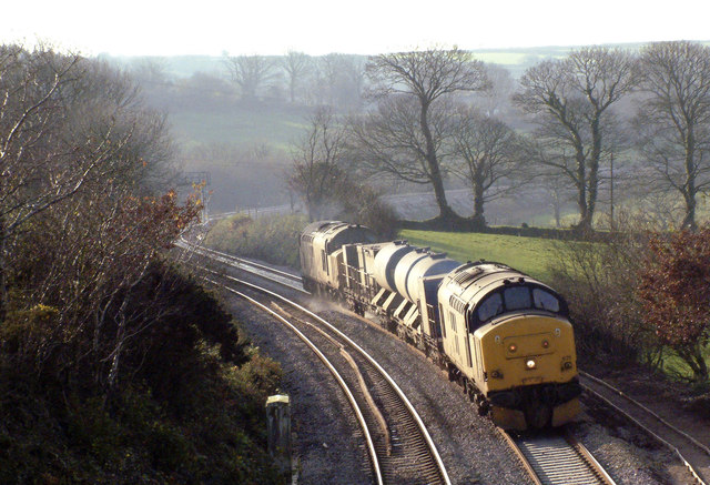
Hendra Images

Images are sourced within 2km of 50.332062/-4.8627995 or Grid Reference SW9651. Thanks to Geograph Open Source API. All images are credited.

Dowgas Farm A view across Dowgas Farm towards the massive waste tips of the clay pits north of St Austell.
Dowgas Farm
A view across Dowgas Farm towards the massive waste tips of the clay pits north of St Austell.
Ventonwyn Mine The engine house of this small mine perched on its hilltop, making it a local landmark that can be seen from miles around. The mine was worked in the 19th century, mainly for tin. In the later years of the 19th century it was incorporated into the Great Dowgas mine and finally closed down in about 1910. The shaft that this engine served was about 350 feet deep. There is a well known contemporary photograph of a group of miners posing in front of the engine house in the late 19th century.
Ventonwyn Mine
The engine house of this small mine perched on its hilltop, making it a local landmark that can be seen from miles around. The mine was worked in the 19th century, mainly for tin. In the later years of the 19th century it was incorporated into the Great Dowgas mine and finally closed down in about 1910. The shaft that this engine served was about 350 feet deep. There is a well known contemporary photograph of a group of miners posing in front of the engine house in the late 19th century.
Green Lane This view from the Resugga railway viaduct west of Coombe shows how green the area is.  Lots of pastures and woodland, but with the China Clay areas of St Austell on the horizon.
This photo was taken from the 1158 Penzance to London Paddington train, having left Truro at 1244.
Green Lane
This view from the Resugga railway viaduct west of Coombe shows how green the area is. Lots of pastures and woodland, but with the China Clay areas of St Austell on the horizon. This photo was taken from the 1158 Penzance to London Paddington train, having left Truro at 1244.
Pasture at Hendra View of pastures next to the railway, with the farm, Hendra, in the middle distance to the right.
This photo was taken from the 1158 Penzance to London Paddington train, having left Truro at 1244.
Pasture at Hendra
View of pastures next to the railway, with the farm, Hendra, in the middle distance to the right. This photo was taken from the 1158 Penzance to London Paddington train, having left Truro at 1244.
View towards Hendra The farm Hendra, seen from the railway.  The map indicates a water works here, hidden in the woodland lower down in the centre of the picture.
This photo was taken from the 1158 Penzance to London Paddington train, having left Truro at 1244.
View towards Hendra
The farm Hendra, seen from the railway. The map indicates a water works here, hidden in the woodland lower down in the centre of the picture. This photo was taken from the 1158 Penzance to London Paddington train, having left Truro at 1244.
Bus stop at High Street On the A3058 road a bus stop at the Hamlet of High Street. The road junction ahead is for the A3058 towards Foxhole and the Clay Country
Bus stop at High Street
On the A3058 road a bus stop at the Hamlet of High Street. The road junction ahead is for the A3058 towards Foxhole and the Clay Country
Lanjeth on the A3058 Looking away from St Austell towards the west
Lanjeth on the A3058
Looking away from St Austell towards the west
The leaf busting train During the autumn the leaf busting train runs to blast the leaves off the line by high-pressure water jets.  This shows the jet train heading towards Burngullow from Truro.  The up line that the train is travelling over has been relaid recently after the line was singled in the 1980s as a cost-saving exercise.  The line is now double track again.
The leaf busting train
During the autumn the leaf busting train runs to blast the leaves off the line by high-pressure water jets. This shows the jet train heading towards Burngullow from Truro. The up line that the train is travelling over has been relaid recently after the line was singled in the 1980s as a cost-saving exercise. The line is now double track again.
View from a train towards St Stephen approaching Burngullow Entering "Clay Country" (China Clay) on a train from Truro to St Austell just pass Coombe approaching Burngullow.
View from a train towards St Stephen approaching Burngullow
Entering "Clay Country" (China Clay) on a train from Truro to St Austell just pass Coombe approaching Burngullow.
St Stephen : Coombe Road Coombe Road heading down from Gwinda Road outside of St Stephen.
St Stephen : Coombe Road
Coombe Road heading down from Gwinda Road outside of St Stephen.
Restormel : Farm Drive A drive up to one of the farms in the former Restormel District.
Restormel : Farm Drive
A drive up to one of the farms in the former Restormel District.
Restormel : Small Road A small road leading towards a nearby industrial estate.
Restormel : Small Road
A small road leading towards a nearby industrial estate.
Lanjeth : The A3058 The A3058 heading into Lanjeth with the village sign in view.
Lanjeth : The A3058
The A3058 heading into Lanjeth with the village sign in view.
Lanjeth : Roadside Scenery Along the roadside in Lanjeth with wood and trees.
Lanjeth : Roadside Scenery
Along the roadside in Lanjeth with wood and trees.
Lanjeth : Coombe Road Coombe Road heading off of the A3058.
Lanjeth : Coombe Road
Coombe Road heading off of the A3058.
Train passing Crugwallins Passenger train at Crugwallins, near Burngullow.
Train passing Crugwallins
Passenger train at Crugwallins, near Burngullow.
The A3058 at High Street
Overbridge in the cutting A390 west of Sticker
Overbridge in the cutting
A390 west of Sticker
Show me another place!

Hendra is located at Grid Ref: SW9651 (Lat: 50.332062, Lng: -4.8627995)

Unitary Authority: Cornwall

Police Authority: Devon and Cornwall

What 3 Words

///samplers.ashes.gladiators. Near St Stephen, Cornwall

Nearby Locations

Hendra

Related Wikis

Roseland Observatory

Roseland Observatory is located in Court Farm, one mile (1.6 km) southeast of St Stephen-in-Brannel, in mid Cornwall, England, United Kingdom. Roseland...

Coombe, St Stephen-in-Brannel

Coombe (Cornish: Komm) is a village in mid Cornwall, England, United Kingdom. The village is situated approximately four miles (6 km) west of St Austell...

High Street, Cornwall

High Street is a hamlet east of St Stephen-in-Brannel (where the 2011 population was included) in Cornwall, England, United Kingdom. It has the A3058 road...

Sticker A.F.C.

Sticker Association Football Club is a football club based in Sticker, Cornwall. They are currently members of the South West Peninsula League Premier...
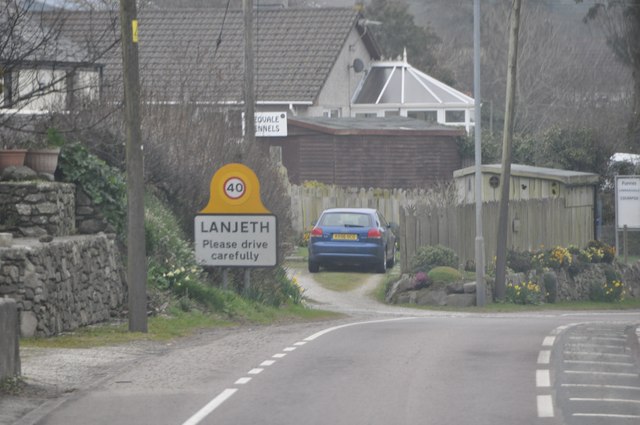
Lanjeth

Lanjeth is a village near St Austell in Cornwall, England, United Kingdom. It is in the civil parish of St Stephen-in-Brannel Its neighbouring smaller...

Hornick, Cornwall

Hornick is a hamlet in the parish of St Stephen-in-Brannel, Cornwall, England. == References ==

Hewas Water

Hewas Water is a hamlet in mid Cornwall, England, UK. It is off the A390 road near Sticker and about 3 miles (5 km) west southwest of St Austell. It is...

Brannel School

Brannel School is a co-educational secondary school located in St Stephen-in-Brannel, in Cornwall, England, UK. There are around 750 children aged 11–16...

Nearby Amenities

Located within 500m of 50.332062,-4.8627995
The data included in this document is from www.openstreetmap.org. The data is made available under ODbL.

Have you been to Hendra?

Leave your review of Hendra below (or comments, questions and feedback).