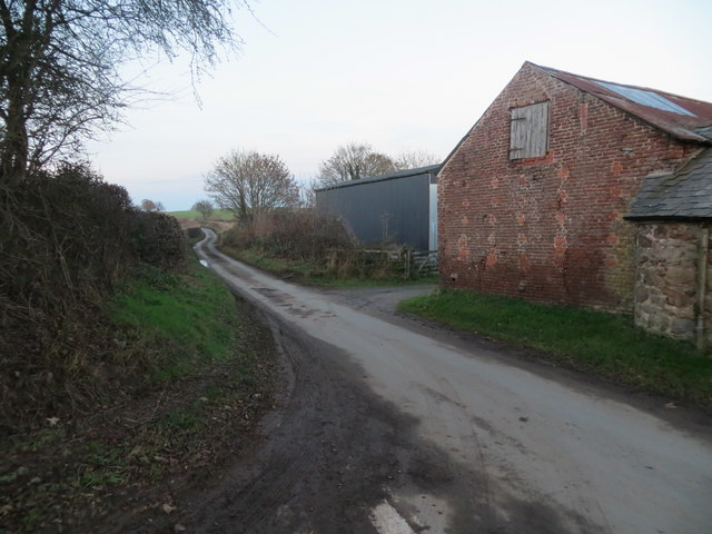
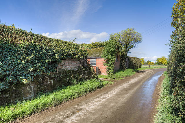
Henbarns
Settlement in Shropshire
England
Henbarns
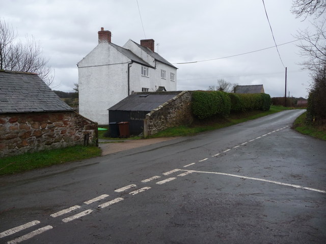
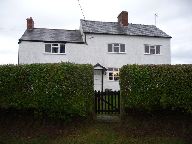
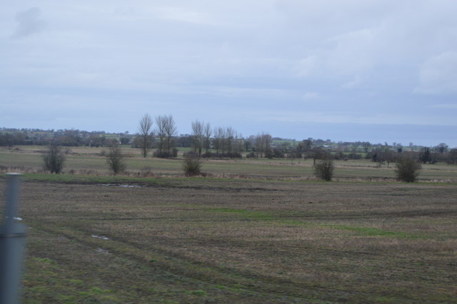
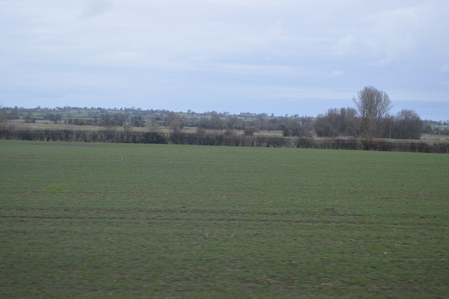
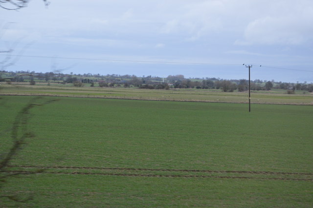
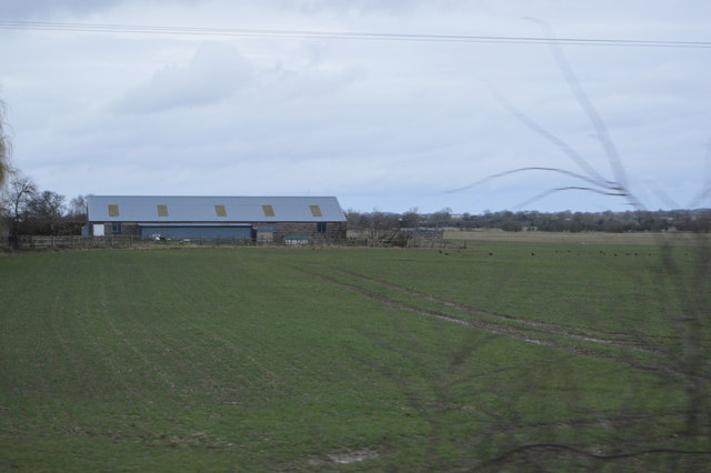
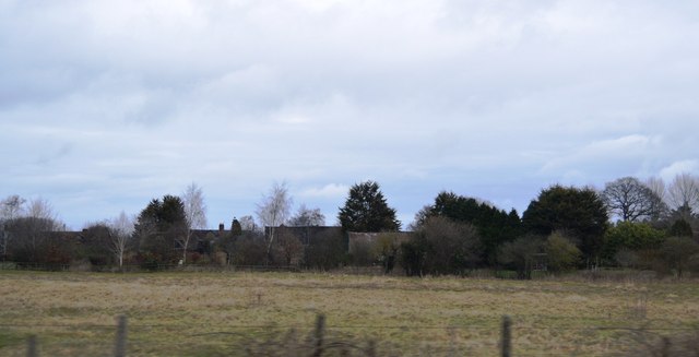
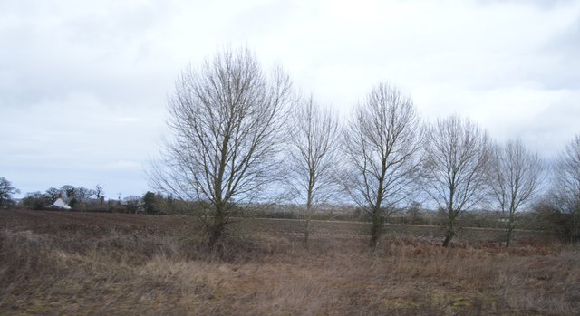
Henbarns is a small village located in the county of Shropshire, England. Situated in the heart of the picturesque countryside, it is surrounded by rolling hills, lush green fields, and charming rural landscapes. With a population of around 500 inhabitants, Henbarns offers a peaceful and close-knit community atmosphere.
The village boasts a rich history, dating back to medieval times. It is characterized by its traditional architecture, with several timber-framed houses and thatched cottages still standing today. The local church, St. Mary's, is a prominent feature of the village, displaying beautiful stained glass windows and an ancient bell tower.
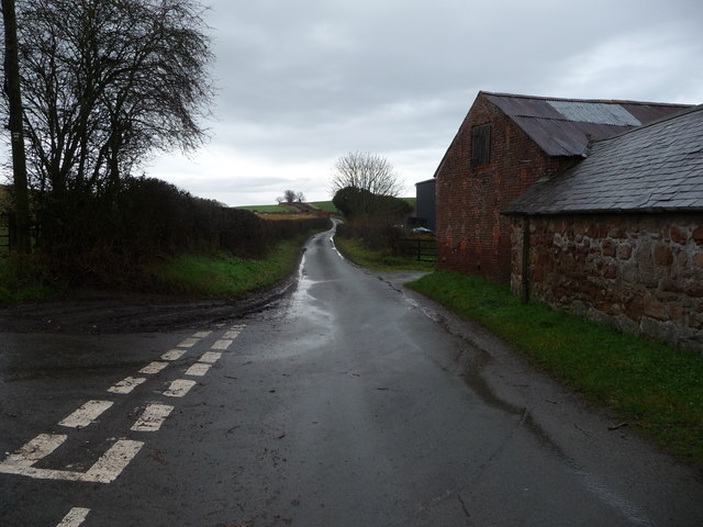
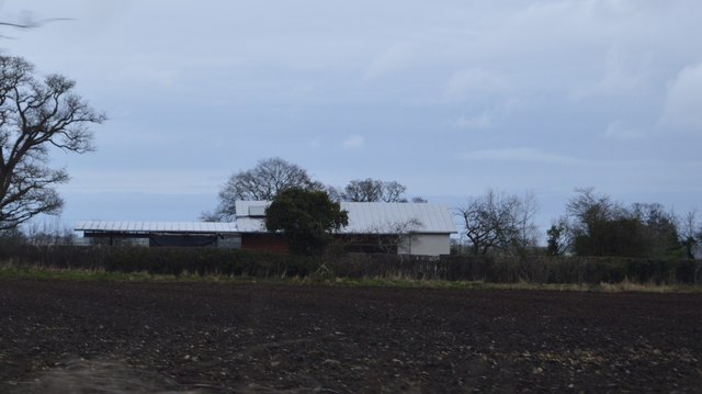
Henbarns is primarily an agricultural area, with farming playing a vital role in the local economy. The fertile soil and favorable climate make it an ideal location for crop cultivation, and the fields are often filled with golden wheat or vibrant rapeseed. The village is also known for its dairy farms, producing high-quality milk and cheese.
Despite its small size, Henbarns offers a range of amenities to its residents. There is a quaint village shop that stocks essential groceries, and a cozy pub where locals can gather for a pint and a chat. The village hall hosts various community events throughout the year, including fairs, concerts, and village meetings.
For nature enthusiasts, Henbarns is a paradise. The surrounding countryside offers countless opportunities for outdoor activities such as hiking, cycling, and birdwatching. The nearby Henbarns Woods is a designated nature reserve, home to a variety of flora and fauna, including rare orchids and woodland birds.
In conclusion, Henbarns is a charming and historic village in Shropshire, offering a tranquil rural lifestyle amidst stunning natural beauty.
If you have any feedback on the listing, please let us know in the comments section below.
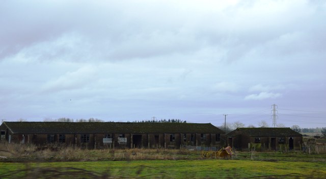
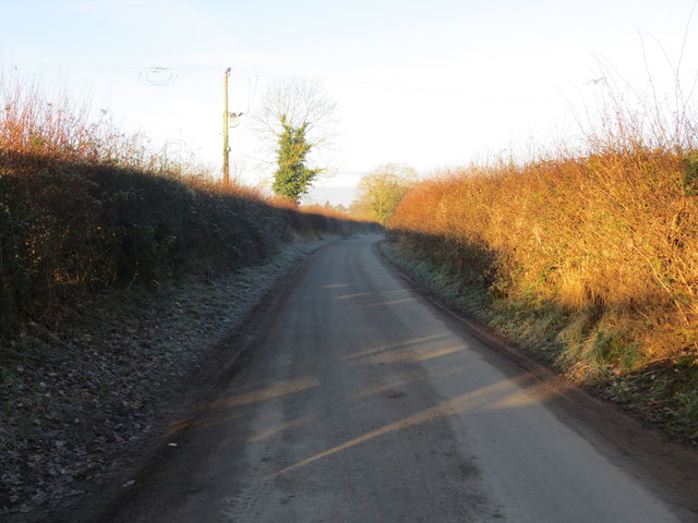
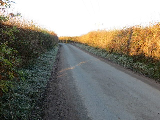
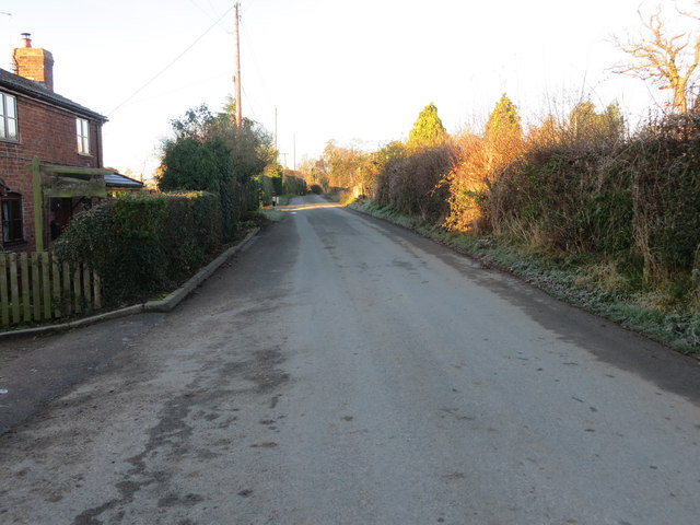
Henbarns Images
Images are sourced within 2km of 52.833935/-2.9221506 or Grid Reference SJ3726. Thanks to Geograph Open Source API. All images are credited.
Henbarns is located at Grid Ref: SJ3726 (Lat: 52.833935, Lng: -2.9221506)
Unitary Authority: Shropshire
Police Authority: West Merica
What 3 Words
///tensions.reset.retail. Near Ruyton-XI-Towns, Shropshire
Nearby Locations
Related Wikis

Haughton Halt railway station
Haughton Halt was a minor station located north of Shrewsbury on the GWR's Paddington to Birkenhead main line. It was opened in the nineteen thirties as...
RAF Rednal
Royal Air Force Rednal, or more simply RAF Rednal, is a former Royal Air Force station located near Oswestry in Shropshire, England. == History == ��3...

Grimpo
Grimpo is a small hamlet in Shropshire, England. Its unusual name was formerly written Grimpool, and is possibly based on an Old English personal name...

Bagley Marsh
Bagley Marsh is a village in Shropshire, England. == External links == Media related to Bagley Marsh at Wikimedia Commons

Wykey
Wykey is a hamlet in Shropshire, England. It is approximately 2 miles north of the larger village of Ruyton-XI-Towns, and is recognised as one of the eleven...

Bagley, Shropshire
Bagley is a small and rural village in the parish of Hordley, Shropshire, England. The nearest towns are Ellesmere, Wem and Oswestry, though the village...

Woodhouse, Shropshire
Woodhouse is a Grade II* listed country house and 1,500 acre estate in West Felton, Shropshire, England.It was built in 1773–74 by Robert Mylne for William...
Rednal and West Felton railway station
Rednal & West Felton railway station was a minor station on the GWR's Paddington to Birkenhead main line. Today this is part of the Shrewsbury to Chester...
Nearby Amenities
Located within 500m of 52.833935,-2.9221506Have you been to Henbarns?
Leave your review of Henbarns below (or comments, questions and feedback).