Hallwood Park
Settlement in Cheshire
England
Hallwood Park
Hallwood Park is a residential area located in the borough of Cheshire, England. Situated approximately 2 miles southeast of the town of Runcorn, Hallwood Park is known for its tranquil surroundings and family-friendly atmosphere.
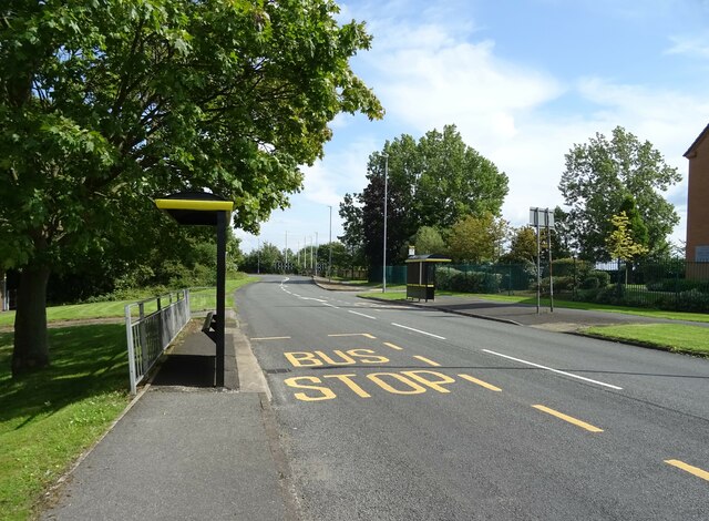
The area is characterized by its well-maintained streets lined with a mix of detached and semi-detached houses. The properties in Hallwood Park vary in architectural style, ranging from modern designs to more traditional brick-built homes. Many of the houses boast well-manicured gardens, adding to the overall aesthetic appeal of the neighborhood.
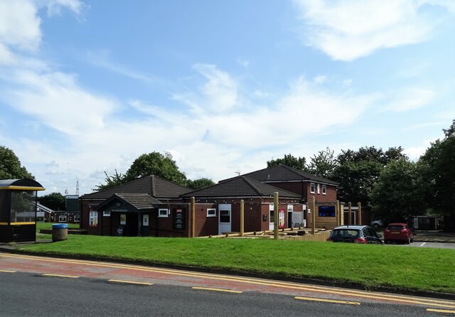
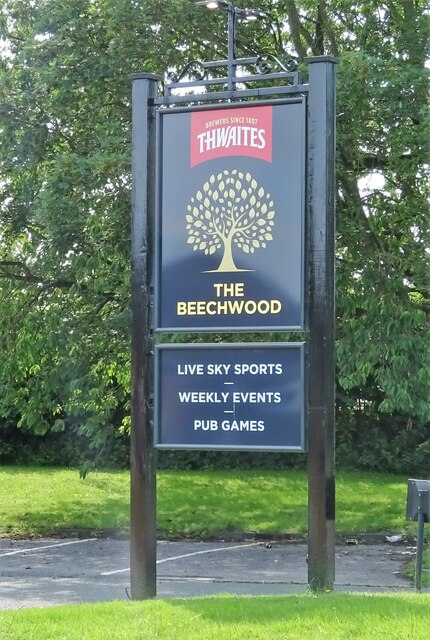
Hallwood Park offers a range of amenities for its residents. The nearby Hallwood Farm pub and restaurant is a popular spot for locals to enjoy a meal or a drink. The area is also home to a primary school, providing convenient access to education for families with young children.
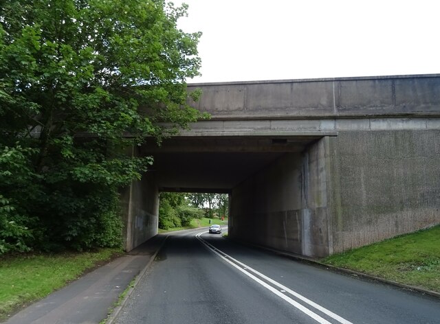
For recreational activities, residents can take advantage of the nearby Runcorn Hill Park, which offers beautiful green spaces, walking trails, and breathtaking views of the surrounding countryside. The area is also well-connected, with easy access to major road networks, including the M56 motorway, making it convenient for commuters.
Overall, Hallwood Park presents an excellent option for those seeking a peaceful and family-oriented community in Cheshire. With its attractive housing options, amenities, and close proximity to natural landscapes, Hallwood Park offers a desirable living environment for residents of all ages.
If you have any feedback on the listing, please let us know in the comments section below.
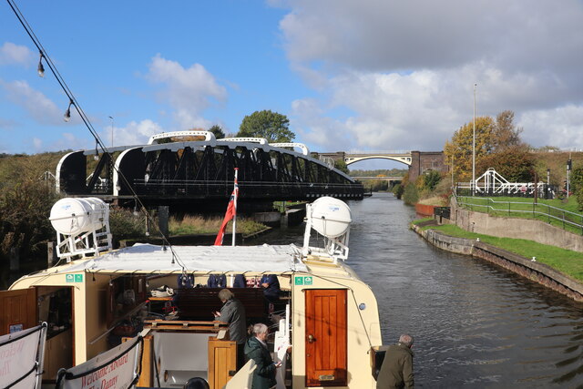
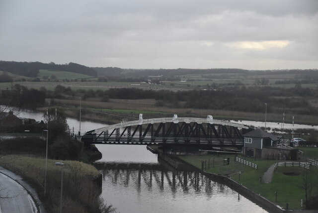
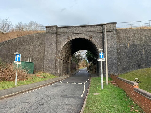
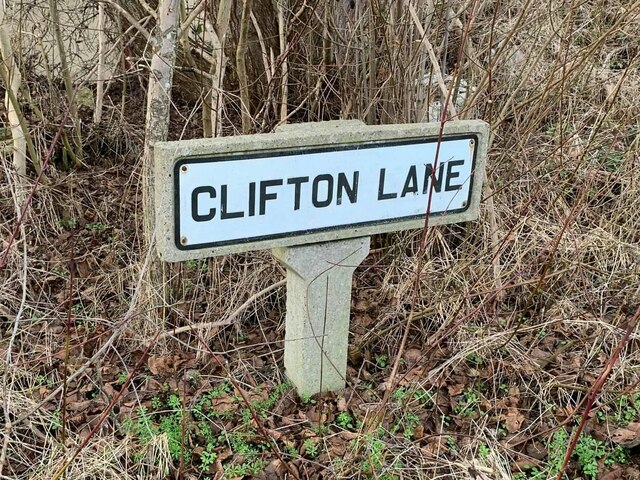
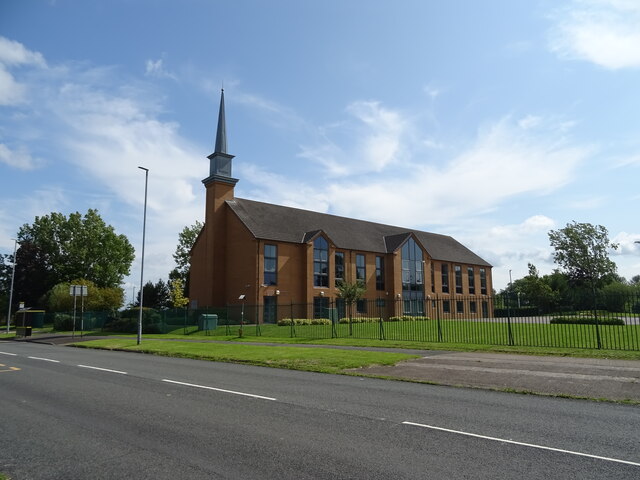
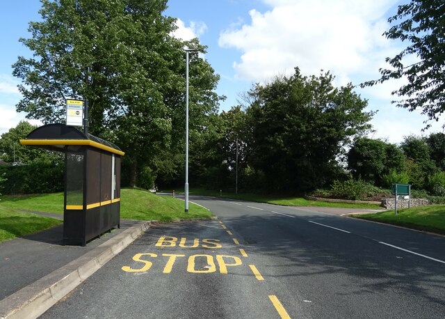
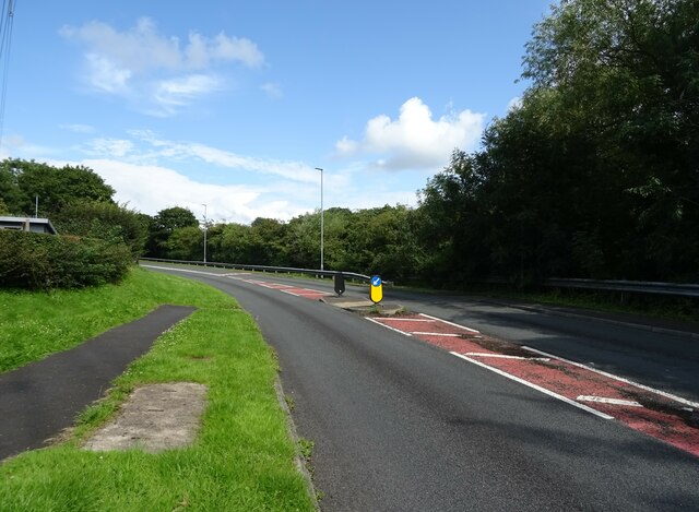
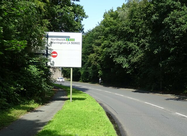
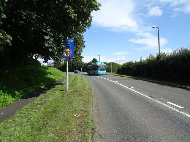
Hallwood Park Images
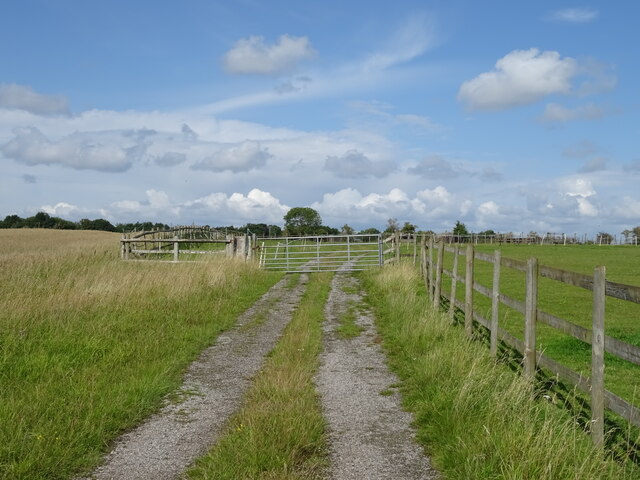
Images are sourced within 2km of 53.322143/-2.6977251 or Grid Reference SJ5380. Thanks to Geograph Open Source API. All images are credited.
Hallwood Park is located at Grid Ref: SJ5380 (Lat: 53.322143, Lng: -2.6977251)
Unitary Authority: Halton
Police Authority: Cheshire
What 3 Words
///travels.mission.undertook. Near Halton, Cheshire
Nearby Locations
Related Wikis
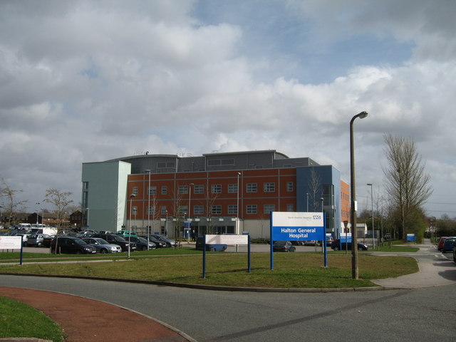
Halton General Hospital
Halton General Hospital is a health facility at Runcorn, Cheshire, England. It is managed by the Warrington & Halton Hospitals NHS Foundation Trust....

Southgate Estate
The Southgate Estate was a modernist public housing project located in Runcorn New Town (Cheshire, England) and completed in 1977. The estate was designed...

Hallwood, Cheshire
Hallwood is a former mansion house in Runcorn, Cheshire, England. One wing of the house remains and was a public house called the Tricorn until its closure...

Runcorn Shopping City
Runcorn Shopping City, formerly Halton Lea and Runcorn Shopping Centre, is a medium-sized indoor shopping centre in Runcorn, England. Opened by Queen Elizabeth...
Nearby Amenities
Located within 500m of 53.322143,-2.6977251Have you been to Hallwood Park?
Leave your review of Hallwood Park below (or comments, questions and feedback).