Palace Fields
Settlement in Cheshire
England
Palace Fields
Palace Fields is a suburban housing estate located in Runcorn, a town in the borough of Halton, Cheshire, England. Situated approximately 20 miles east of Liverpool and 25 miles west of Manchester, Palace Fields is well-connected to major cities and towns in the northwest of England. The estate is primarily residential, providing housing for both families and individuals.
Palace Fields offers a range of housing options, including detached houses, semi-detached houses, and apartments. The properties are well-maintained and often feature modern amenities such as gardens, driveways, and garages. The estate is known for its clean and safe environment, making it an attractive place to live for families and professionals alike.
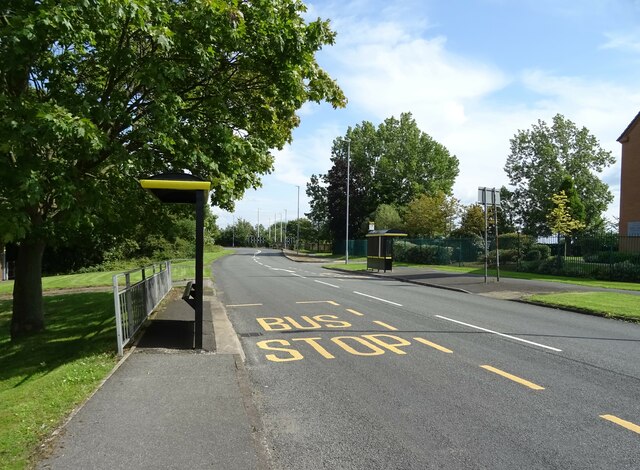
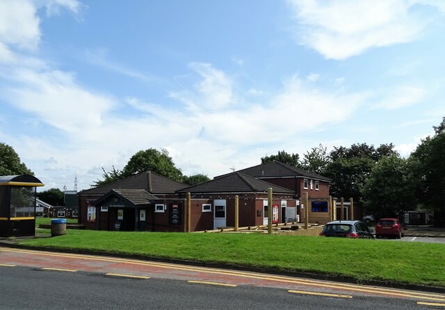
The area surrounding Palace Fields offers a variety of amenities and services to its residents. The nearby Runcorn Shopping City provides a wide range of retail options, including high-street stores, supermarkets, and local shops. The estate is also served by several schools, making it an ideal location for families with children. Additionally, there are several parks and green spaces in the vicinity, offering recreational opportunities for residents to enjoy outdoor activities.
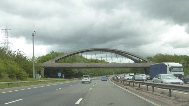
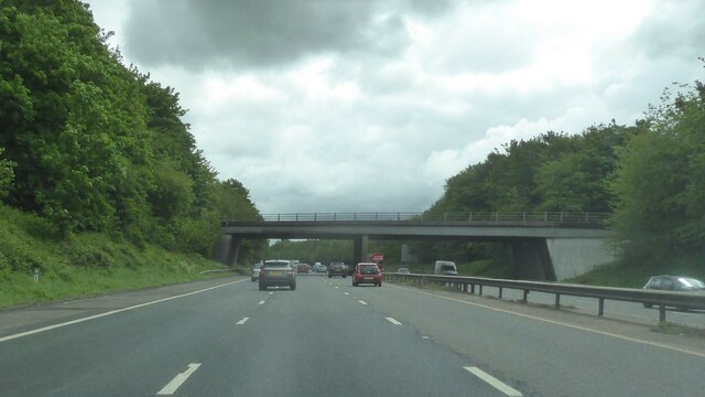
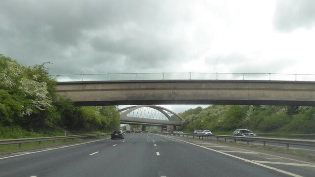
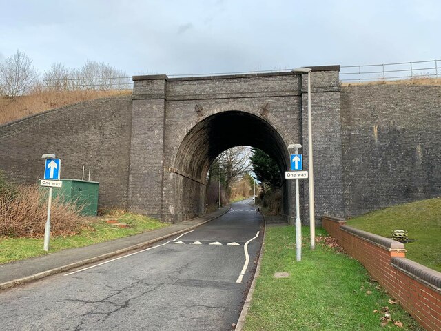
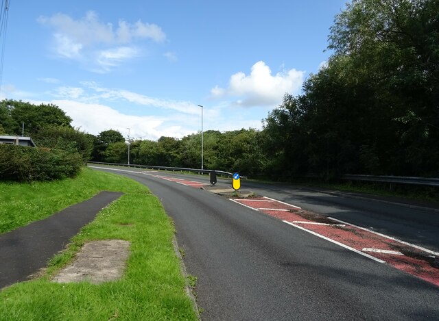
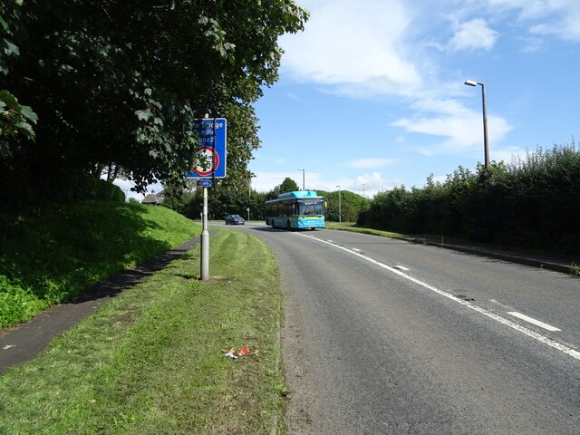
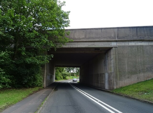
Transport links in Palace Fields are excellent, with easy access to major road networks such as the M56 and the A533. Runcorn East railway station and Runcorn Main Line railway station provide regular train services to Liverpool, Manchester, and other nearby towns. For those who prefer public transportation, there are also bus services available within the estate and to neighboring areas.
In summary, Palace Fields is a well-established and desirable residential area in Runcorn, Cheshire. With its range of housing options, amenities, and excellent transport links, it offers a comfortable and convenient living environment for its residents.
If you have any feedback on the listing, please let us know in the comments section below.
Palace Fields Images
Images are sourced within 2km of 53.322547/-2.6931678 or Grid Reference SJ5380. Thanks to Geograph Open Source API. All images are credited.


Palace Fields is located at Grid Ref: SJ5380 (Lat: 53.322547, Lng: -2.6931678)
Unitary Authority: Halton
Police Authority: Cheshire
What 3 Words
///stage.converter.gems. Near Halton, Cheshire
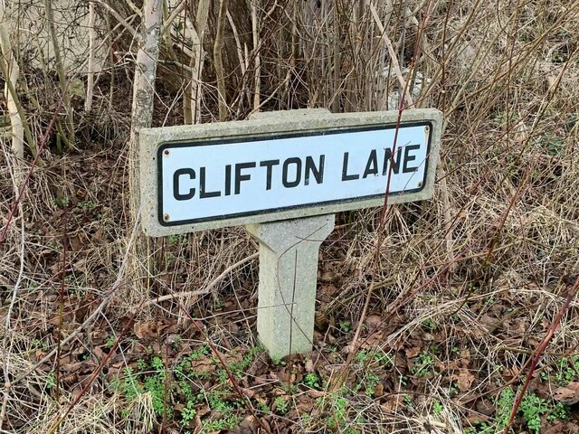
Nearby Locations
Related Wikis

Hallwood, Cheshire
Hallwood is a former mansion house in Runcorn, Cheshire, England. One wing of the house remains and was a public house called the Tricorn until its closure...
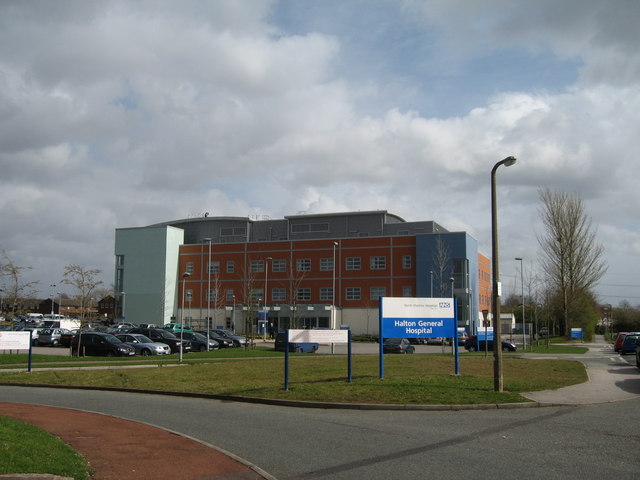
Halton General Hospital
Halton General Hospital is a health facility at Runcorn, Cheshire, England. It is managed by the Warrington & Halton Hospitals NHS Foundation Trust....

Southgate Estate
The Southgate Estate was a modernist public housing project located in Runcorn New Town (Cheshire, England) and completed in 1977. The estate was designed...

Runcorn Shopping City
Runcorn Shopping City, formerly Halton Lea and Runcorn Shopping Centre, is a medium-sized indoor shopping centre in Runcorn, England. Opened by Queen Elizabeth...

Beechwood, Runcorn
Beechwood is a residential area of Runcorn, England. It was designated as part of Runcorn's New Town in 1964 and allocated for private housing in the masterplan...

Halton, Runcorn
Halton, formerly a separate village, is now part of the town of Runcorn, Cheshire, England. The name Halton has been assumed by the Borough of Halton...

Halton (UK Parliament constituency)
Halton is a constituency in Cheshire, represented in the House of Commons of the UK Parliament since 1997 by Derek Twigg of the Labour Party.Further to...
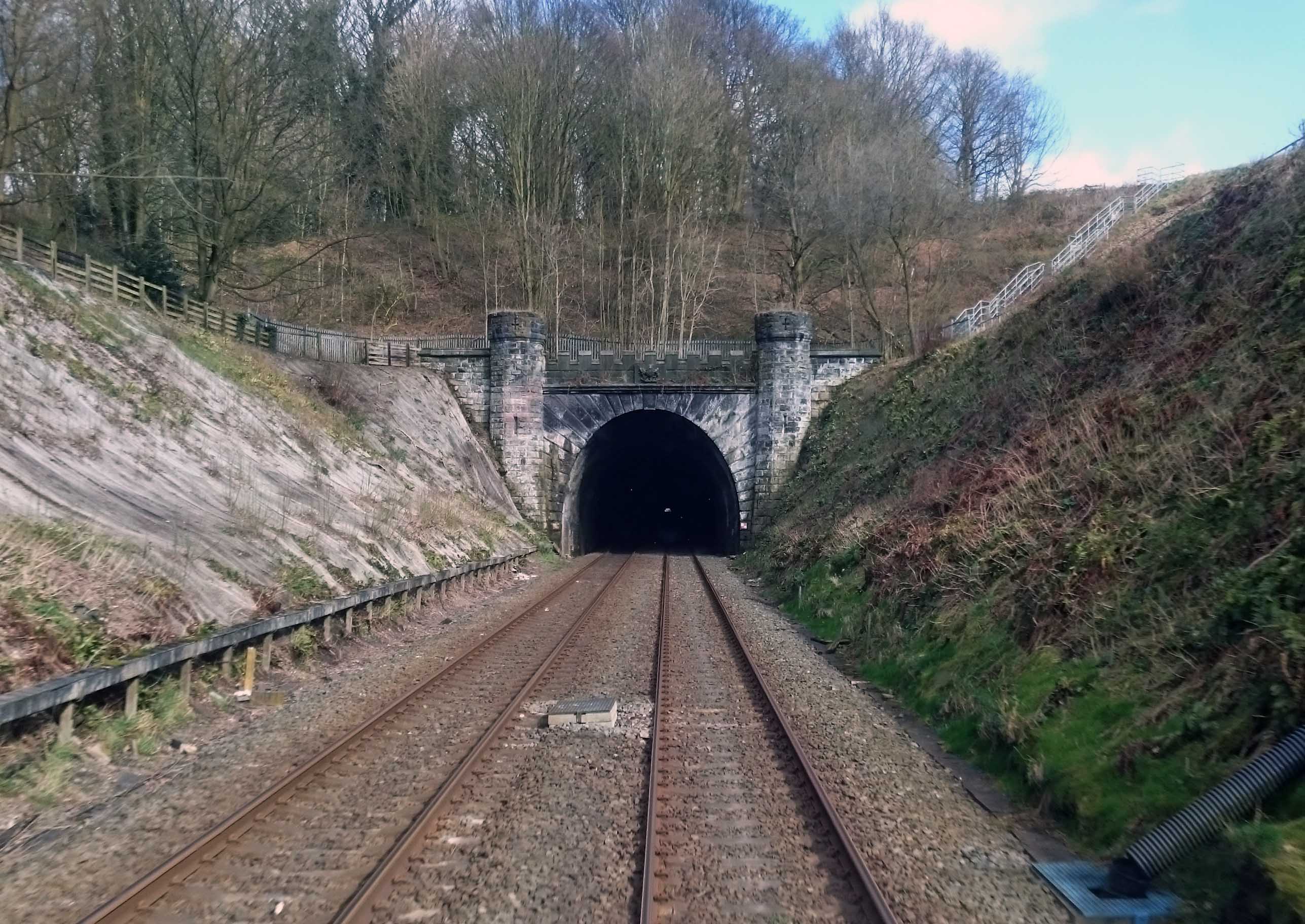
Sutton Tunnel railway accident
The Sutton Tunnel railway accident occurred in the Sutton tunnel between Frodsham and Moore in Cheshire, England on 30 April 1851. As a result of it nine...
Nearby Amenities
Located within 500m of 53.322547,-2.6931678Have you been to Palace Fields?
Leave your review of Palace Fields below (or comments, questions and feedback).