Beechwood
Settlement in Cheshire
England
Beechwood
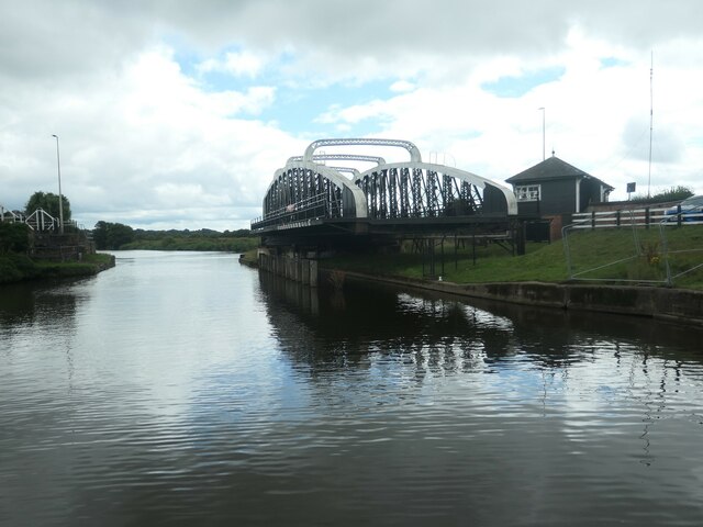
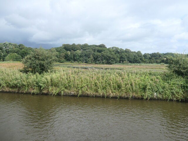
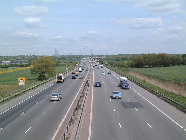
![The River Weaver and the Weaver Navigation The Navigation has used the Weston Canal [foreground] since 1810, as it provided better access to the Mersey. The river [behind the bank] was the tidal route to the Mersey before then, but is no longer navigable because Frodsham Lock is disused.](https://s1.geograph.org.uk/geophotos/06/92/78/6927877_89fd359f.jpg)
Beechwood is a small suburban area located in the county of Cheshire, England. It is situated approximately 3 miles east of the town of Runcorn and 15 miles south of the city of Liverpool. The area is part of the larger town of Halton and falls within the Borough of Halton.
Beechwood is primarily a residential area, consisting of a mix of housing types including detached and semi-detached houses, as well as some apartment buildings. The neighborhood is known for its tree-lined streets and well-maintained gardens, creating a pleasant and picturesque environment for its residents.
The area benefits from its close proximity to essential amenities, with several small shops, convenience stores, and supermarkets located nearby. For more extensive shopping options, residents can easily access the retail parks and shopping centers located in Runcorn.
Beechwood is well-connected to neighboring areas by a network of roads, including the A533 road which runs through the area, providing convenient access to surrounding towns and cities. The area is also served by several bus routes, offering reliable public transportation links.
Residents of Beechwood enjoy access to a range of recreational facilities, including parks and green spaces for outdoor activities. There are also several schools in the vicinity, catering to the educational needs of the local community.
Overall, Beechwood offers a tranquil and family-friendly living environment with good access to amenities, making it an attractive place to reside in Cheshire.
If you have any feedback on the listing, please let us know in the comments section below.
Beechwood Images
Images are sourced within 2km of 53.315033/-2.700482 or Grid Reference SJ5380. Thanks to Geograph Open Source API. All images are credited.

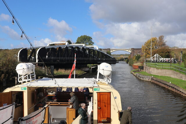
![Farmland between Frodsham Cut and the Weston Canal The Frodhsam Cut [marked by an embankment] is the original line of the Weaver Navigation. It was replaced by the Weston Canal in 1827, which created a new main line to Weston Point.](https://s3.geograph.org.uk/geophotos/06/93/73/6937359_d37fdf35.jpg)
Beechwood is located at Grid Ref: SJ5380 (Lat: 53.315033, Lng: -2.700482)
Unitary Authority: Halton
Police Authority: Cheshire
What 3 Words
///emblem.situation.respected. Near Halton, Cheshire
Nearby Locations
Related Wikis

Beechwood, Runcorn
Beechwood is a residential area of Runcorn, England. It was designated as part of Runcorn's New Town in 1964 and allocated for private housing in the masterplan...

Floodbrook Clough
Floodbrook Clough is an ancient woodland and site of special scientific interest which cuts through the centre of the Beechwood area of Runcorn, Cheshire...
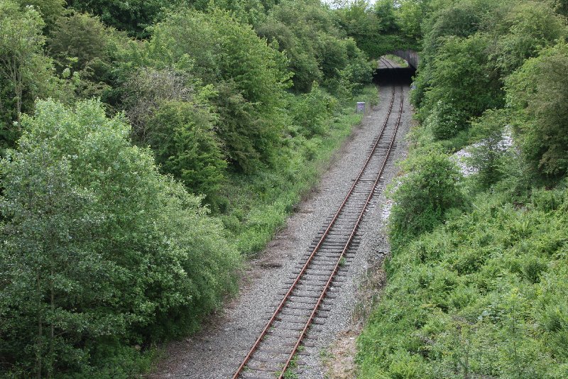
Halton Curve
Halton Curve (now formally known as the Frodsham Single Line) is a short bi-directional railway line which links the Chester–Warrington line to the Weaver...

Halton railway station (Cheshire)
Halton railway station served Halton, Cheshire, England, on the Birkenhead Joint Railway. It was closed in 1952. == References == == Further reading... ==
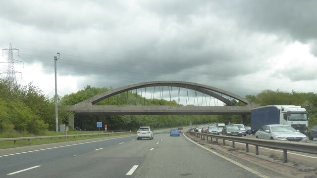
Weaver Viaduct
The Weaver Viaduct, in the north of Cheshire on the M56, is one of the longest concrete viaducts on the British motorway network. == History == It was...
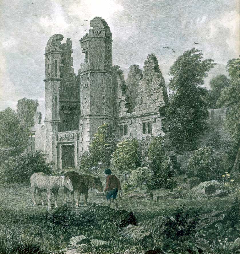
Rocksavage
Rocksavage or Rock Savage was an Elizabethan mansion in Cheshire, England, which served as the primary seat of the Savage family. The house lies in ruins...

Runcorn Rowing Club
Runcorn Rowing Club is a rowing club in Runcorn, Cheshire based on the River Weaver. The club has access to 10km of rowable river from Weston Marsh Lock...

Hallwood, Cheshire
Hallwood is a former mansion house in Runcorn, Cheshire, England. One wing of the house remains and was a public house called the Tricorn until its closure...
Related Videos

The Sandstone Trail Fail | Return to the Trail
After an enforced break from hiking and camping we decided to take on a moderate distance route with only a few climbs to break ...

Overton Hill, Cheshire
biblequote #hiking #hikeuk #hike #walkinguk #walkuk #walk #walking #backpacking #christian #outdoors #outdoor #wanderlust ...

HIKE the Sandstone Trail of Cheshire - (two days and one night of wild camping)
The Sandstone Trail in Cheshire is a great hike for a weekend or for you first attempt at a through hike. I completed the 34 mile ...
Nearby Amenities
Located within 500m of 53.315033,-2.700482Have you been to Beechwood?
Leave your review of Beechwood below (or comments, questions and feedback).