Hallsville Quarter
Settlement in Essex
England
Hallsville Quarter
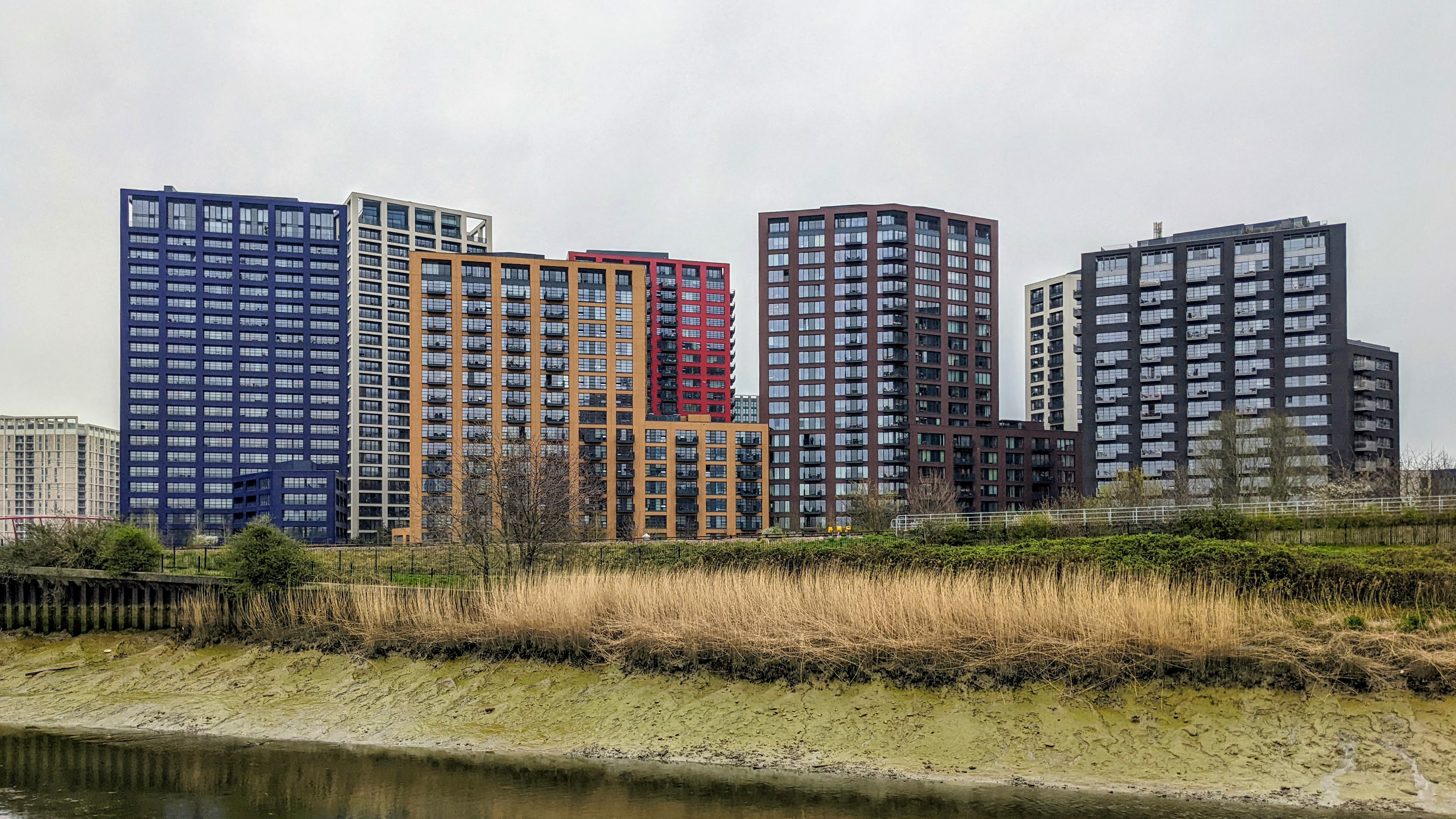
Hallsville Quarter is a vibrant and modern mixed-use development located in Essex, England. Situated in the heart of Canning Town in the London Borough of Newham, this urban regeneration project has transformed a once neglected area into a thriving community hub.
Spanning over 1.8 million square feet, Hallsville Quarter features a range of residential, commercial, and retail spaces. The development boasts over 1,100 high-quality homes, catering to a diverse range of residents. These homes include apartments, townhouses, and maisonettes, providing a variety of housing options to suit different needs.
In addition to the residential units, Hallsville Quarter offers a wide range of amenities and facilities. The development includes a state-of-the-art leisure center, complete with swimming pools, fitness studios, and sports courts, providing opportunities for exercise and recreation for both residents and the wider community.
The retail aspect of Hallsville Quarter is also a significant draw. The development features a bustling market square, lined with an array of shops, cafes, and restaurants. This vibrant retail hub offers a diverse range of products and services, adding to the appeal of the area.
Hallsville Quarter benefits from excellent transport links, with Canning Town Underground and DLR stations just a short walk away. This ensures easy access to central London and other parts of the city, making it an attractive location for commuters.
Overall, Hallsville Quarter has successfully revitalized the Canning Town area, providing a modern and inclusive community space that caters to the needs of its residents and visitors.
If you have any feedback on the listing, please let us know in the comments section below.
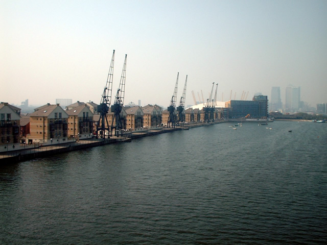
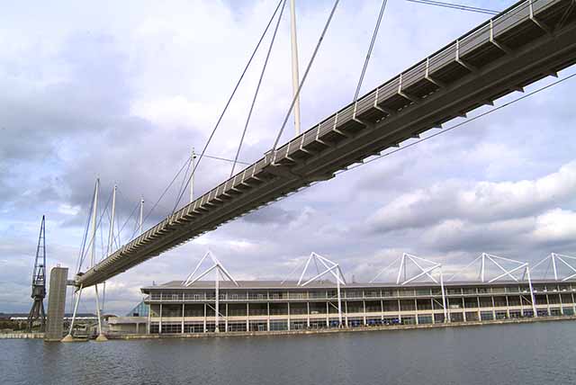
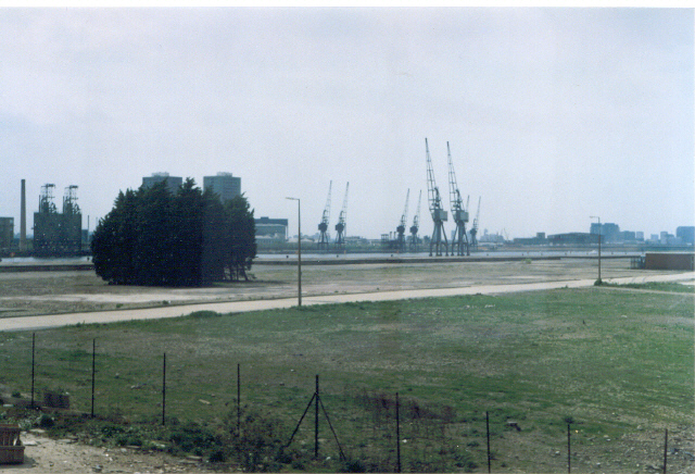
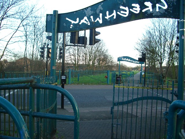
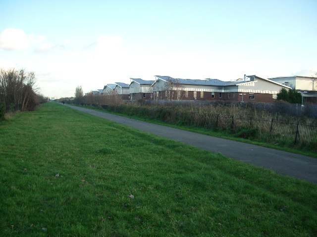
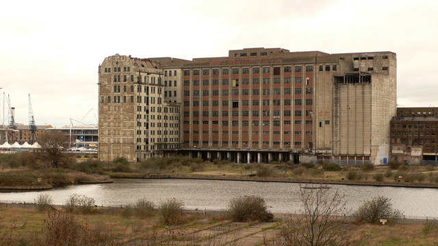
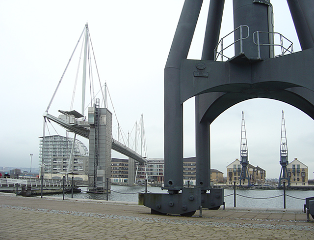
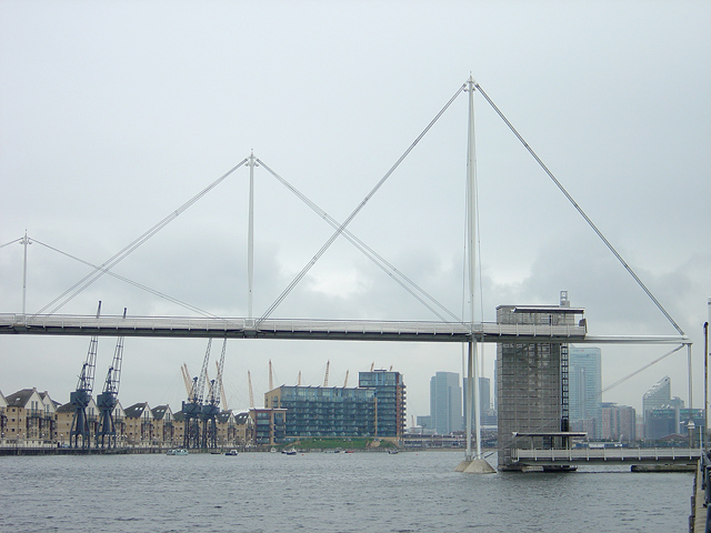
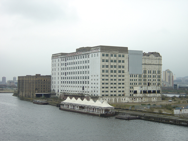
Hallsville Quarter Images
Images are sourced within 2km of 51.513953/0.010802662 or Grid Reference TQ3981. Thanks to Geograph Open Source API. All images are credited.

Hallsville Quarter is located at Grid Ref: TQ3981 (Lat: 51.513953, Lng: 0.010802662)
Unitary Authority: Newham
Police Authority: Metropolitan
What 3 Words
///cake.case.doing. Near Poplar, London
Nearby Locations
Related Wikis

Canning Town station
Canning Town is a London Underground, Docklands Light Railway (DLR) and London Buses station in Canning Town in London, England. It is designed as an intermodal...

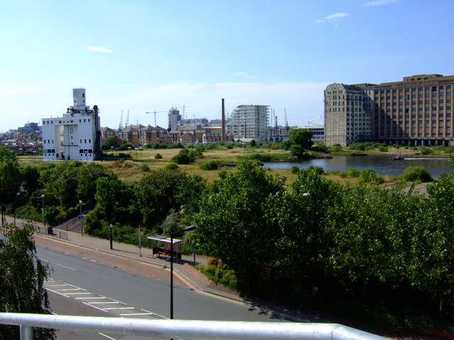
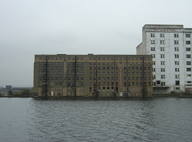
Limmo Peninsula
The Limmo Peninsula is an area of Canning Town in the London Borough of Newham in London's East End. It lies on the east bank of Bow Creek at the mouth...

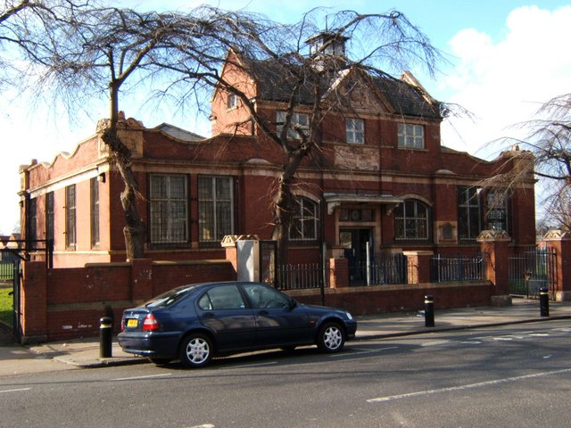
105 Barking Road
105 Barking Road is a former public hall in Canning Town, in the London Borough of Newham, in the United Kingdom. The building is situated in the ward...

Lansbury Lawrence School
Lansbury Lawrence School (formally Susan Lawrence School) is a primary school in the Lansbury Estate in the Poplar area of the London Borough of Tower...
Leamouth
Leamouth is a locality in the Blackwall area of the London Borough of Tower Hamlets. The area takes its name from the former Leamouth Wharf and lies on...
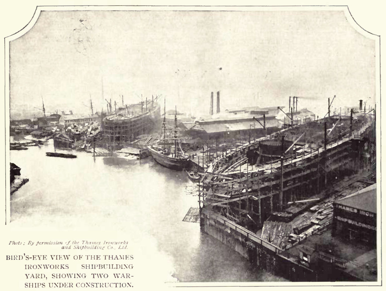
Thames Ironworks and Shipbuilding Company
The Thames Ironworks and Shipbuilding Company, Limited was a shipyard and iron works straddling the mouth of Bow Creek at its confluence with the River...

Holy Trinity Church, Canning Town
Holy Trinity Church was a Church of England parish church in Canning Town, east London. Its origins were in the Plaistow and Victoria Docks Mission, set...
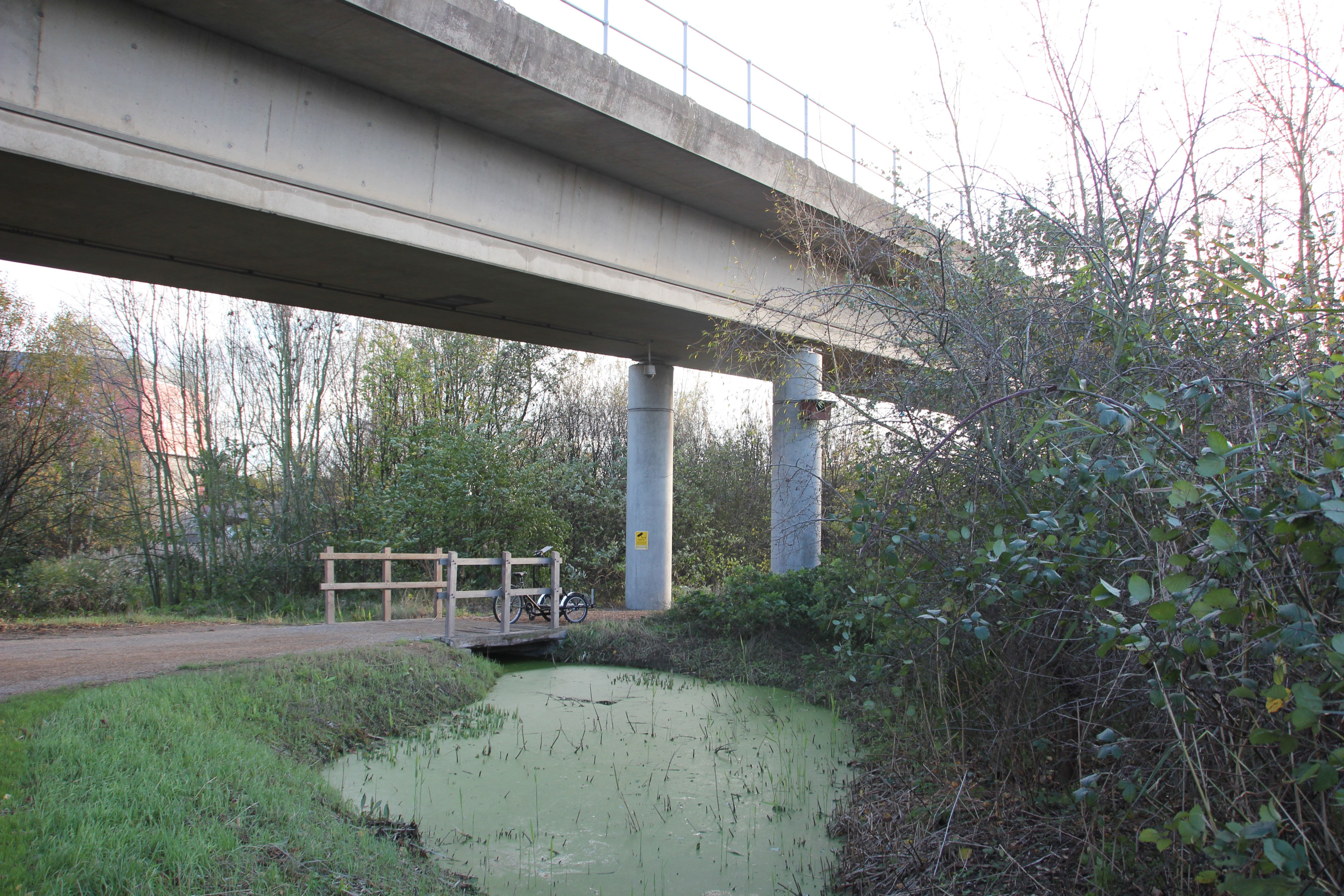
Bow Creek Ecology Park
Bow Creek Ecology Park is a small open space along Bow Creek tidal estuary of the River Lea in Canning Town in Newham, in east London. It is operated by...
Nearby Amenities
Located within 500m of 51.513953,0.010802662Have you been to Hallsville Quarter?
Leave your review of Hallsville Quarter below (or comments, questions and feedback).