Great Enton
Settlement in Surrey Waverley
England
Great Enton

Great Enton is a small village located in the county of Surrey, England. Situated approximately 3 miles southeast of the town of Godalming, it is nestled in the picturesque countryside of the Surrey Hills Area of Outstanding Natural Beauty. The village is part of the civil parish of Chiddingfold, and it falls within the Waverley district.
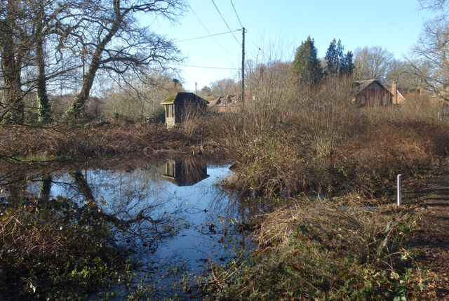
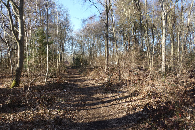
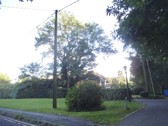
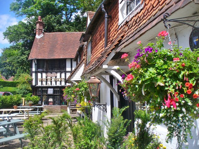
Great Enton boasts a tranquil and idyllic setting, characterized by its rolling hills, dense woodlands, and charming rural landscapes. The area is renowned for its stunning natural beauty, attracting nature enthusiasts, hikers, and cyclists. The village itself is small, with a close-knit community that values its peaceful surroundings and traditional way of life.
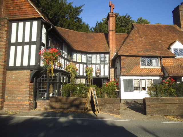
Historically, Great Enton was an agricultural village, and remnants of its rural past can still be seen today. The village is home to a number of quaint cottages and farmhouses, which add to its unique charm. The local economy mainly revolves around agriculture, with several working farms in the area.
Despite its small size, Great Enton benefits from its proximity to Godalming, which offers a wider range of amenities including shops, schools, and healthcare facilities. The village is well-connected to the surrounding areas by road, with easy access to major routes such as the A3 and the M25 motorway.
Overall, Great Enton provides a peaceful and picturesque retreat for those seeking a quintessential English countryside experience. Its natural beauty, rural charm, and strong sense of community make it a desirable place to live or visit.
If you have any feedback on the listing, please let us know in the comments section below.
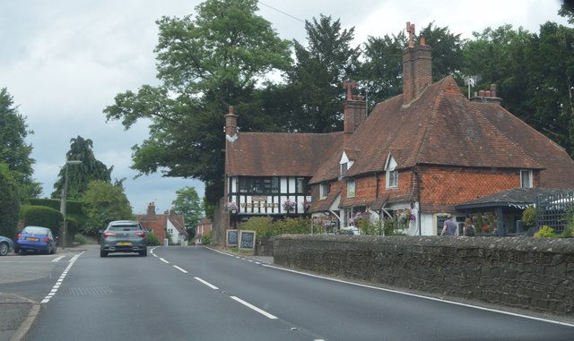
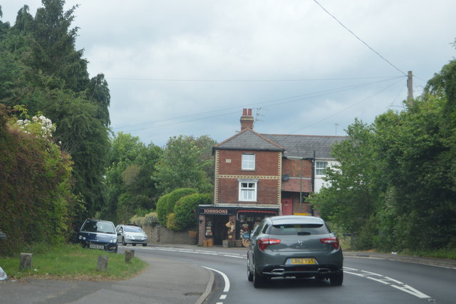
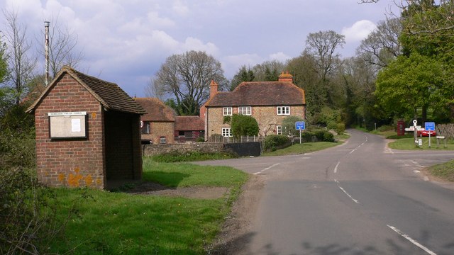
Great Enton Images
Images are sourced within 2km of 51.151203/-0.63992181 or Grid Reference SU9539. Thanks to Geograph Open Source API. All images are credited.


Great Enton is located at Grid Ref: SU9539 (Lat: 51.151203, Lng: -0.63992181)
Administrative County: Surrey
District: Waverley
Police Authority: Surrey
What 3 Words
///crusted.steadier.outgoing. Near Witley, Surrey
Nearby Locations
Related Wikis

Witley
Witley is a village and civil parish in the Borough of Waverley in Surrey, England centred 2.6 miles (4 km) south west of the town of Godalming and 6.6...

Ockford Ridge
Ockford Ridge is the part of the parish and town of Godalming, Surrey, England west of the London-Portsmouth railway. It has a narrow buffer to the west...

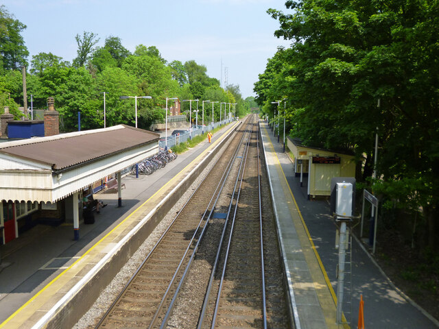
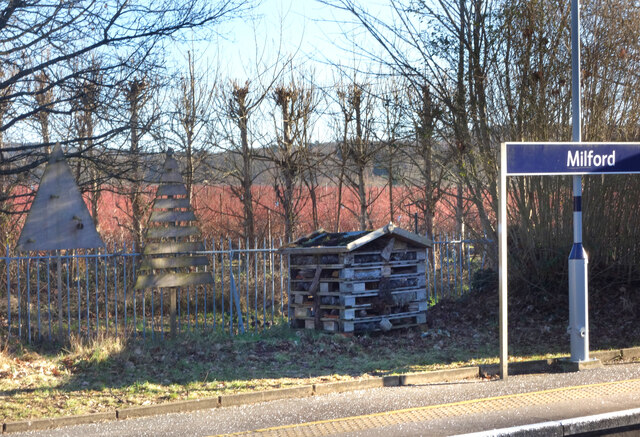
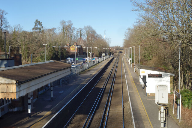
Milford railway station
Milford railway station is a railway station serving the village of Milford in the English county of Surrey. It is a stop on the Portsmouth Direct Line...

Rodborough School
Rodborough School is a coeducational secondary school with academy status, located in Milford, Surrey, England. The school is a feeder school for Godalming...
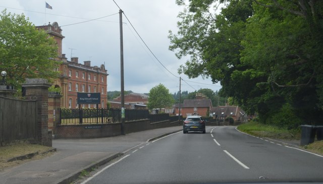
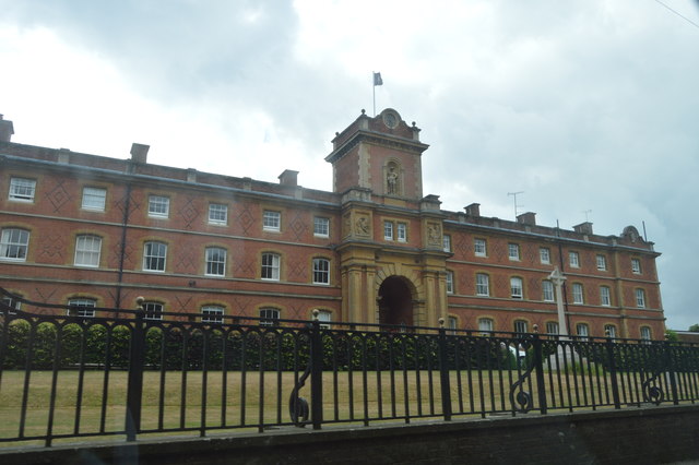
King Edward's School, Witley
King Edward's Witley is a private co-educational boarding and day school, founded in 1553 by King Edward VI and Nicholas Ridley, Bishop of London and Westminster...
Hydestile
Hydestile is a hamlet in Waverley, south-west Surrey. It is around 2+1⁄2 miles (4.0 km) south of Godalming between the villages of Busbridge and Hambledon...

Wormley, Surrey
Wormley is a village in Surrey, England in the parish of Witley, around Witley station, off the A283 Petworth Road about 5 km (3.1 mi) SSW of Godalming...

St Dominic's School
St. Dominic's School in Hambledon, Surrey, England is a co-educational day school, one of the oldest special schools in the United Kingdom. It specialises...
Nearby Amenities
Located within 500m of 51.151203,-0.63992181Have you been to Great Enton?
Leave your review of Great Enton below (or comments, questions and feedback).