Hazel Copse
Wood, Forest in Surrey Waverley
England
Hazel Copse
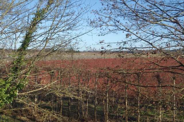
Hazel Copse, located in Surrey, England, is a picturesque woodland area renowned for its natural beauty and rich biodiversity. Spanning approximately 10 hectares, this enchanting forest is characterized by its dense concentration of hazel trees, which give the copse its name.
The woodland is teeming with a wide array of flora and fauna, making it an ideal habitat for various species. The hazel trees, with their distinctive catkins and serrated leaves, dominate the landscape, creating a dense canopy that provides shelter and food for numerous woodland creatures.
Walking through Hazel Copse, one can encounter an assortment of wildlife. Squirrels scamper through the trees, while birds such as woodpeckers and thrushes fill the air with their melodious songs. The forest floor is adorned with a colorful carpet of wildflowers, including bluebells and primroses, adding to the copse's natural charm.
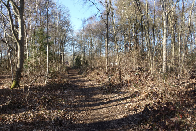
Hazel Copse is not only a haven for wildlife but also a popular destination for nature enthusiasts and hikers. Its well-maintained footpaths and trails allow visitors to explore the woodland and immerse themselves in its tranquil ambiance. The copse also offers several picnic spots, where families and friends can enjoy a leisurely day surrounded by nature.
In addition to its recreational value, Hazel Copse plays a crucial role in the conservation of local biodiversity. The copse is managed by conservation organizations and volunteers who work tirelessly to protect and preserve its natural habitats.
Overall, Hazel Copse is a breathtaking woodland retreat that showcases the beauty of Surrey's natural landscape. It offers a sanctuary for wildlife, as well as a peaceful and rejuvenating escape for those seeking solace in nature.
If you have any feedback on the listing, please let us know in the comments section below.
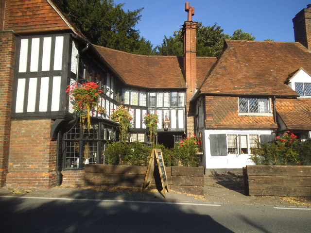
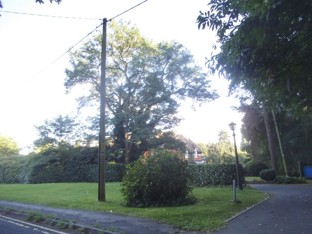
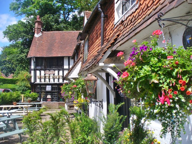
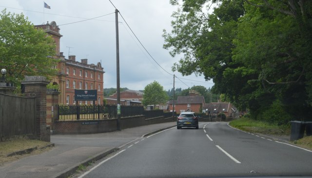
Hazel Copse Images
Images are sourced within 2km of 51.14912/-0.64014033 or Grid Reference SU9539. Thanks to Geograph Open Source API. All images are credited.


Hazel Copse is located at Grid Ref: SU9539 (Lat: 51.14912, Lng: -0.64014033)
Administrative County: Surrey
District: Waverley
Police Authority: Surrey
What 3 Words
///bulge.readily.verbs. Near Witley, Surrey
Nearby Locations
Related Wikis

Witley
Witley is a village and civil parish in the Borough of Waverley in Surrey, England centred 2.6 miles (4 km) south west of the town of Godalming and 6.6...

Ockford Ridge
Ockford Ridge is the part of the parish and town of Godalming, Surrey, England west of the London-Portsmouth railway. It has a narrow buffer to the west...
King Edward's School, Witley
King Edward's Witley is a private co-educational boarding and day school, founded in 1553 by King Edward VI and Nicholas Ridley, Bishop of London and Westminster...

Wormley, Surrey
Wormley is a village in Surrey, England in the parish of Witley, around Witley station, off the A283 Petworth Road about 5 km (3.1 mi) SSW of Godalming...

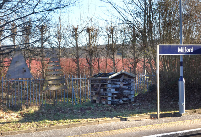
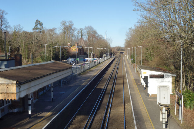
Milford railway station
Milford railway station is a railway station serving the village of Milford in the English county of Surrey. It is a stop on the Portsmouth Direct Line...

St Dominic's School
St. Dominic's School in Hambledon, Surrey, England is a co-educational day school, one of the oldest special schools in the United Kingdom. It specialises...

Rodborough School
Rodborough School is a coeducational secondary school with academy status, located in Milford, Surrey, England. The school is a feeder school for Godalming...
Hydestile
Hydestile is a hamlet in Waverley, south-west Surrey. It is around 2+1⁄2 miles (4.0 km) south of Godalming between the villages of Busbridge and Hambledon...
Nearby Amenities
Located within 500m of 51.14912,-0.64014033Have you been to Hazel Copse?
Leave your review of Hazel Copse below (or comments, questions and feedback).