Chapel Copse

Wood, Forest in Surrey Waverley

England

Chapel Copse

Church of St Peter
Church of St Peter Credit: Alex McGregor

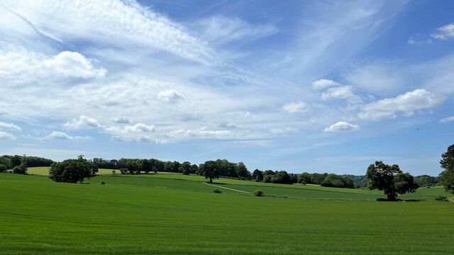
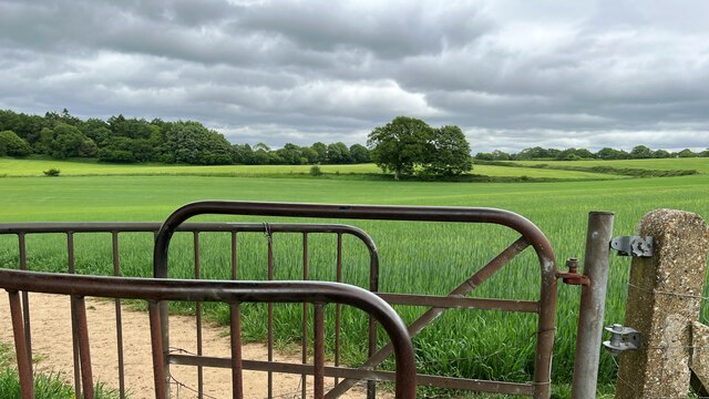
Chapel Copse is a charming woodland located in Surrey, England. Situated in the heart of the county, this forested area spans approximately 50 acres and is a popular destination for nature enthusiasts and hikers alike. The copse is characterized by its dense tree coverage, predominantly consisting of native British species such as oak, beech, and ash.

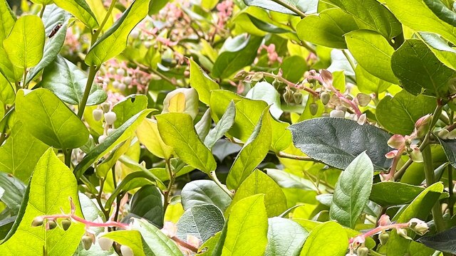
The woodland is home to a rich variety of flora and fauna, making it a haven for wildlife. Visitors can expect to encounter a diverse range of bird species, including woodpeckers, nuthatches, and various songbirds. Additionally, small mammals like squirrels and rabbits can be spotted darting through the undergrowth.

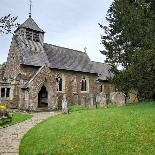
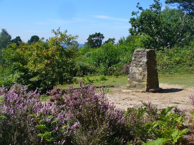
The copse is named after a small chapel that once stood within its boundaries. Although the chapel no longer exists, there are still remnants of its foundation that serve as a reminder of the area's historical significance. In fact, Chapel Copse is said to have been a place of worship as early as the 12th century.

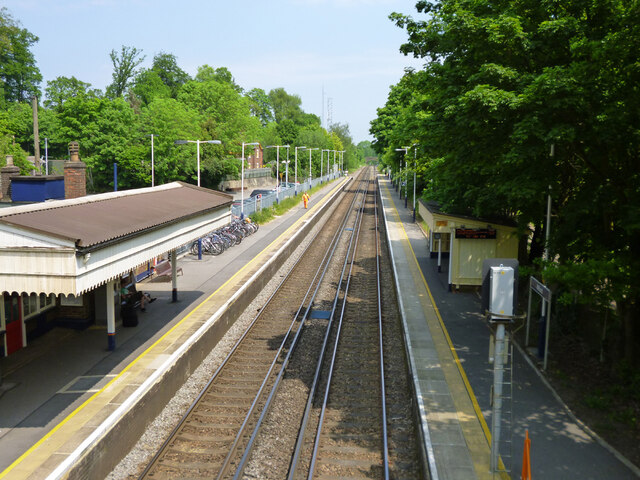
The woodland offers several walking trails, allowing visitors to explore its natural beauty at their own pace. These paths meander through the forest, offering glimpses of picturesque clearings and babbling brooks. The tranquility of Chapel Copse makes it an ideal location for a peaceful stroll or a picnic amidst nature.

Overall, Chapel Copse in Surrey is a delightful woodland retreat, offering visitors the chance to immerse themselves in the beauty of the natural world. With its ancient trees, diverse wildlife, and historical charm, it is a destination that captivates both locals and tourists alike.

If you have any feedback on the listing, please let us know in the comments section below.
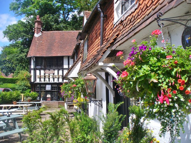
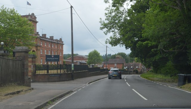
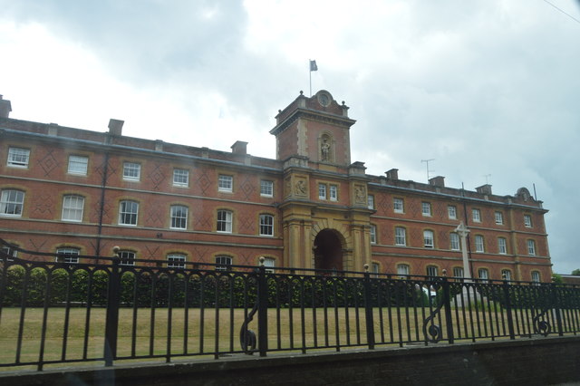
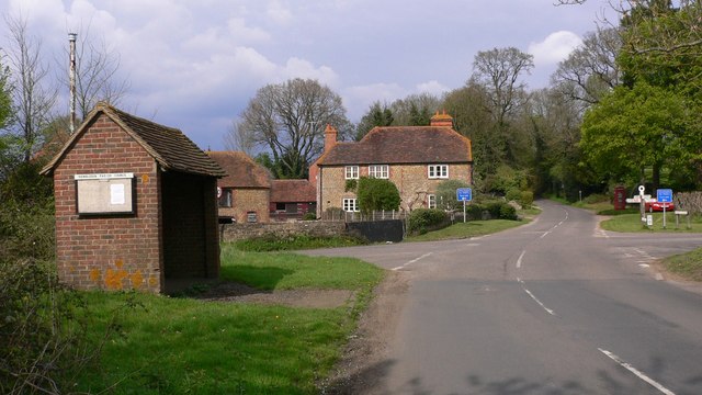
Chapel Copse Images

Images are sourced within 2km of 51.147246/-0.62908668 or Grid Reference SU9539. Thanks to Geograph Open Source API. All images are credited.

Church of St Peter
Church of St Peter
Fields south of Fourteen Acre Copse
Gate on path east of Court Farm - view to the east There's a very clear, neat path through the cultivated fields on either side of this gate.
Gate on path east of Court Farm - view to the east
There's a very clear, neat path through the cultivated fields on either side of this gate.
Shallon - Gaultheria shallon - near Hydon's Ball I've never seen this plant before. I think I've got the identification right, but I'm happy to be corrected. Shallon is a naturalised native of western North America. A member of the heather family, it grows on acid soils and is regarded as somewhat invasive. It certainly seemed to be dominant here, growing in profusion on either side of the path.
Shallon - Gaultheria shallon - near Hydon's Ball
I've never seen this plant before. I think I've got the identification right, but I'm happy to be corrected. Shallon is a naturalised native of western North America. A member of the heather family, it grows on acid soils and is regarded as somewhat invasive. It certainly seemed to be dominant here, growing in profusion on either side of the path.
At last!!! Taken at the junction of Roke Lane and Sunnydown as it rains for the first time in MONTHS
At last!!!
Taken at the junction of Roke Lane and Sunnydown as it rains for the first time in MONTHS
Milford station Looking towards London on the Portsmouth Direct Line.
Milford station
Looking towards London on the Portsmouth Direct Line.
Level crossing by Milford station Looking towards Portsmouth on the Portsmouth Direct Line.
Level crossing by Milford station
Looking towards Portsmouth on the Portsmouth Direct Line.
The Star pub, Wheeler Street On the corner of Wheeler Lane and Petworth Road (A283).
The Star pub, Wheeler Street
On the corner of Wheeler Lane and Petworth Road (A283).
Bug Hotel, Milford Station Bug Hotel, Bugingham Palace, etc. etc.  I have seen these things called by all sorts of names. Basically, just a shell full of  old wood and twigs and bits of stuff for insects and small animals to hide out in.
Bug Hotel, Milford Station
Bug Hotel, Bugingham Palace, etc. etc. I have seen these things called by all sorts of names. Basically, just a shell full of old wood and twigs and bits of stuff for insects and small animals to hide out in.
Red Plants near Milford Station A view from the station footbridge of some colourful sort of bushes growing the other side of a carefully pruned hedge.
I don't know what it is that makes this red colour and I'm afraid I didn't want to miss my train by going down to find out.
Red Plants near Milford Station
A view from the station footbridge of some colourful sort of bushes growing the other side of a carefully pruned hedge. I don't know what it is that makes this red colour and I'm afraid I didn't want to miss my train by going down to find out.
Canopy and Shelter, Milford Station Something I've noticed at so many stations, the side with the old station building often has a much larger shelter than is provided for passengers going in the opposite direction.
Canopy and Shelter, Milford Station
Something I've noticed at so many stations, the side with the old station building often has a much larger shelter than is provided for passengers going in the opposite direction.
The White Hart, Witley
Brook Road at the junction of Petworth Road
Green by Brook Road, Wormley
Hydon's Ball Viewpoint on top of a sandy Surrey hill near Godalming.
Hydon's Ball
Viewpoint on top of a sandy Surrey hill near Godalming.
Witley - White Hart Attractive and historic timber-framed pub on the Petworth Road opposite Witley Church.
Witley - White Hart
Attractive and historic timber-framed pub on the Petworth Road opposite Witley Church.
A283, Wormley The A283 runs 37 miles from Milford near Guildford south to Shoreham-on-Sea across rural Surrey and West Sussex.
<span class="nowrap"><a title="https://www.sabre-roads.org.uk/wiki/index.php?title=A283" rel="nofollow ugc noopener" href="https://www.sabre-roads.org.uk/wiki/index.php?title=A283">Link</a><img style="margin-left:2px;" alt="External link" title="External link - shift click to open in new window" src="https://s1.geograph.org.uk/img/external.png" width="10" height="10"/></span>
A283, Wormley
The A283 runs 37 miles from Milford near Guildford south to Shoreham-on-Sea across rural Surrey and West Sussex. LinkExternal link
King Edward School. Wormley
Show me another place!

Chapel Copse is located at Grid Ref: SU9539 (Lat: 51.147246, Lng: -0.62908668)

Administrative County: Surrey

District: Waverley

Police Authority: Surrey

What 3 Words

///isolating.accordion.things. Near Witley, Surrey

Related Wikis

St Dominic's School

St. Dominic's School in Hambledon, Surrey, England is a co-educational day school, one of the oldest special schools in the United Kingdom. It specialises...
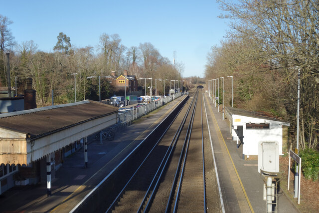
Witley

Witley is a village and civil parish in the Borough of Waverley in Surrey, England centred 2.6 miles (4 km) south west of the town of Godalming and 6.6...

Hambledon, Surrey

Hambledon is a rural scattered village in the Waverley borough of Surrey, situated south of Guildford. It is dominated by a buffer zone of fields and woodland...

Hydestile

Hydestile is a hamlet in Waverley, south-west Surrey. It is around 2+1⁄2 miles (4.0 km) south of Godalming between the villages of Busbridge and Hambledon...

King Edward's School, Witley

King Edward's Witley is a private co-educational boarding and day school, founded in 1553 by King Edward VI and Nicholas Ridley, Bishop of London and Westminster...

Ockford Ridge

Ockford Ridge is the part of the parish and town of Godalming, Surrey, England west of the London-Portsmouth railway. It has a narrow buffer to the west...
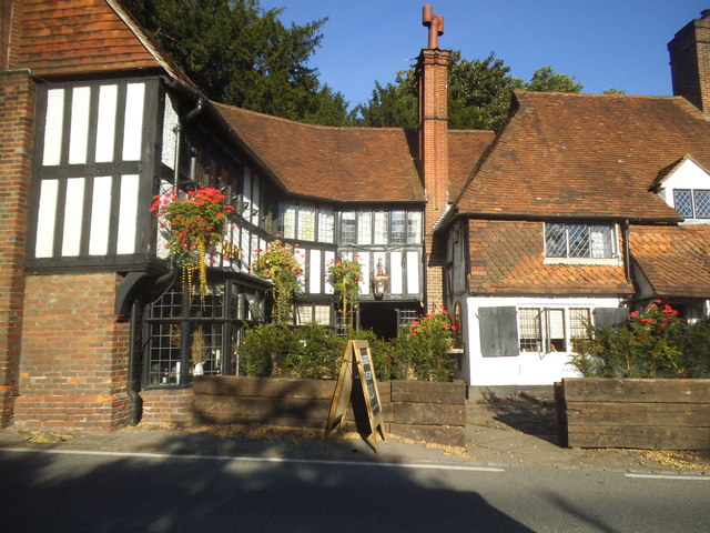
Oakhurst Cottage

Oakhurst Cottage is a tiny 16th or 17th-century cottage in Hambledon, Surrey, in the United Kingdom. It is a Grade II listed building.The cottage was given...

Tigbourne Court

Tigbourne Court is an Arts and Crafts style country house in Wormley, Surrey, England, 1 mile (1.6 km) south of Witley. It was designed by architect Edwin...

Nearby Amenities

Located within 500m of 51.147246,-0.62908668
Barrier: kissing_gate
Lat/Long: 51.148805/-0.633229
Barrier: stile
Lat/Long: 51.1492396/-0.6343207
The data included in this document is from www.openstreetmap.org. The data is made available under ODbL.

Have you been to Chapel Copse?

Leave your review of Chapel Copse below (or comments, questions and feedback).