Hambledon Common

Wood, Forest in Surrey Waverley

England

Hambledon Common

Church of St Peter
Church of St Peter Credit: Alex McGregor

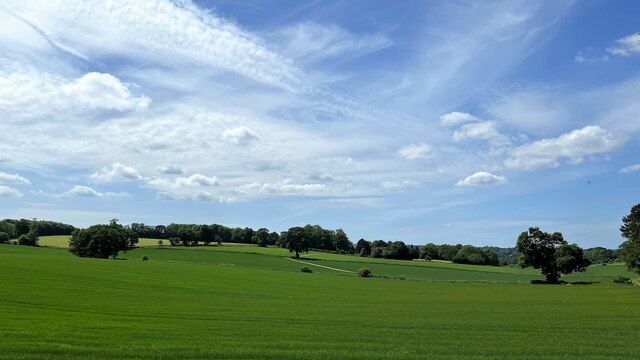
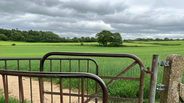
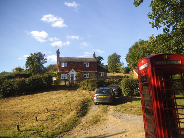
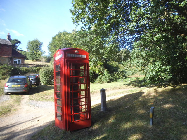
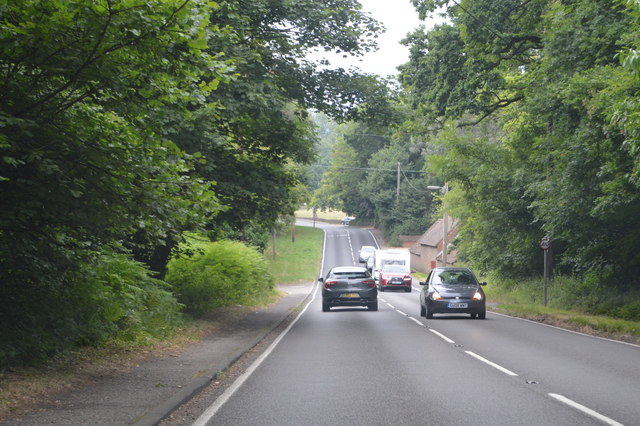
Hambledon Common, located in Surrey, England, is a picturesque wood and forest area that spans over 200 acres. It is nestled within the Surrey Hills Area of Outstanding Natural Beauty, making it a popular destination for nature enthusiasts and hikers alike.

The common is characterized by its diverse range of habitats, including heathland, woodland, and wetlands. This variety of ecosystems allows for a rich and flourishing biodiversity within the area. Visitors to Hambledon Common can expect to encounter a wide array of plant and animal species, including rare and protected ones such as the Dartford warbler and the silver-studded blue butterfly.

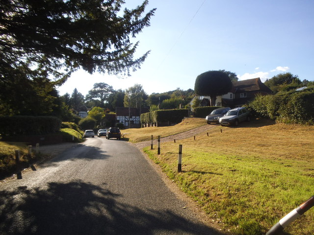
The woodlands of Hambledon Common are particularly enchanting, with ancient oak and beech trees dominating the landscape. These majestic trees provide a dense canopy that offers shade and shelter to numerous woodland creatures. As visitors stroll through the forest, they may come across charming clearings or babbling brooks that add to the tranquility of the setting.

Hambledon Common also boasts several well-maintained walking trails and footpaths, allowing visitors to explore the area at their own pace. These trails cater to both casual walkers and more experienced hikers, offering a range of distances and difficulty levels.

Overall, Hambledon Common is a natural haven that offers a peaceful escape from the bustle of everyday life. Its stunning woodlands, diverse wildlife, and well-marked trails make it a must-visit destination for anyone seeking a true connection with nature.

If you have any feedback on the listing, please let us know in the comments section below.

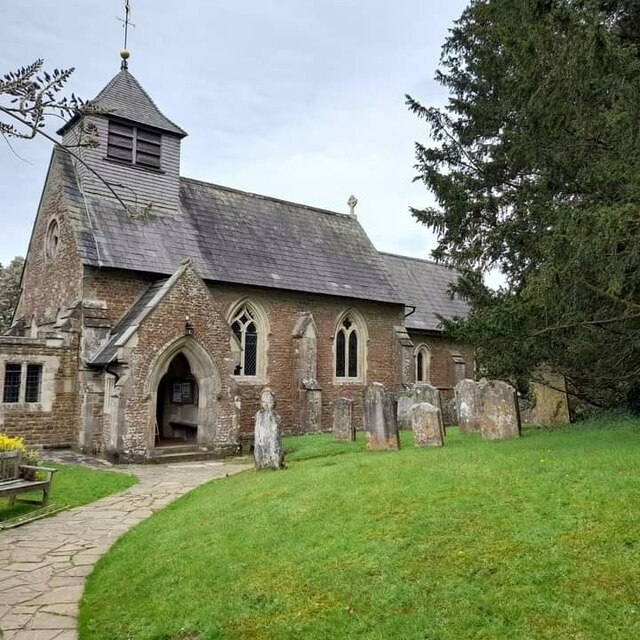
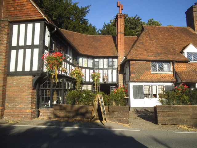
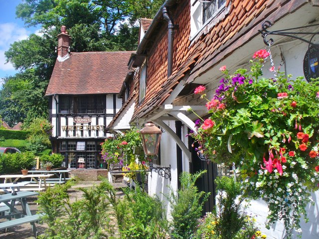
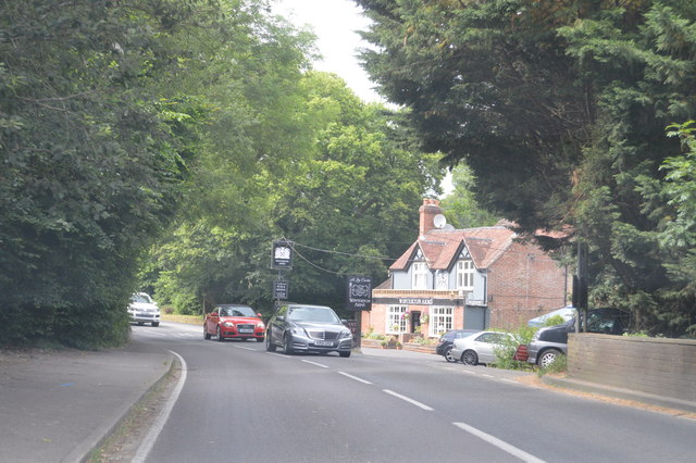
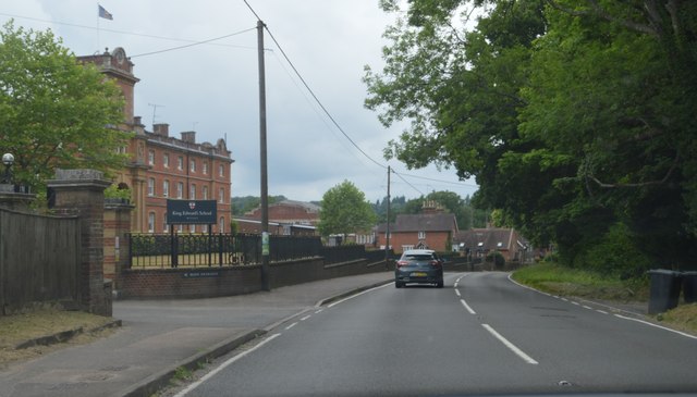
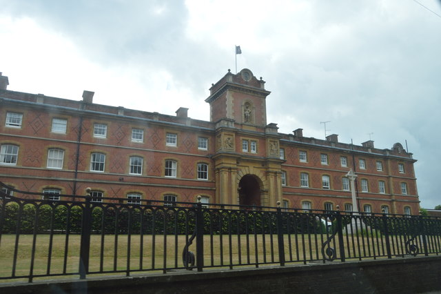
Hambledon Common Images

Images are sourced within 2km of 51.13573/-0.62938484 or Grid Reference SU9538. Thanks to Geograph Open Source API. All images are credited.

Church of St Peter
Church of St Peter
Fields south of Fourteen Acre Copse
Gate on path east of Court Farm - view to the east There's a very clear, neat path through the cultivated fields on either side of this gate.
Gate on path east of Court Farm - view to the east
There's a very clear, neat path through the cultivated fields on either side of this gate.
Toll House, Chiddingfold What looks to be an ex-toll house. The brick fabric looks late for a toll house so may well have served the Petworth Turnpike Trust in its dying years. It would have replaced a Toll House SSE on the North side of the ford/bridge at Northbridge.

Milestone Society National ID: SY.CHI
Toll House, Chiddingfold
What looks to be an ex-toll house. The brick fabric looks late for a toll house so may well have served the Petworth Turnpike Trust in its dying years. It would have replaced a Toll House SSE on the North side of the ford/bridge at Northbridge. Milestone Society National ID: SY.CHI
Phillips of Wormley
Phillips of Wormley
The Winterton Arms, Chiddingfold
The White Hart, Witley
Brook Road at the junction of Petworth Road
House on Brook Road, Sandhills
Phone box on Brook Road, Sandhills
Brook Road, Sandhills
Green by Brook Road, Wormley
Witley - White Hart Attractive and historic timber-framed pub on the Petworth Road opposite Witley Church.
Witley - White Hart
Attractive and historic timber-framed pub on the Petworth Road opposite Witley Church.
A283 at The Winterton Arms The A283 runs 37 miles from Milford near Guildford south to Shoreham-on-Sea across rural Surrey and West Sussex.
<span class="nowrap"><a title="https://www.sabre-roads.org.uk/wiki/index.php?title=A283" rel="nofollow ugc noopener" href="https://www.sabre-roads.org.uk/wiki/index.php?title=A283">Link</a><img style="margin-left:2px;" alt="External link" title="External link - shift click to open in new window" src="https://s1.geograph.org.uk/img/external.png" width="10" height="10"/></span>
A283 at The Winterton Arms
The A283 runs 37 miles from Milford near Guildford south to Shoreham-on-Sea across rural Surrey and West Sussex. LinkExternal link
A283, Wormley The A283 runs 37 miles from Milford near Guildford south to Shoreham-on-Sea across rural Surrey and West Sussex.
<span class="nowrap"><a title="https://www.sabre-roads.org.uk/wiki/index.php?title=A283" rel="nofollow ugc noopener" href="https://www.sabre-roads.org.uk/wiki/index.php?title=A283">Link</a><img style="margin-left:2px;" alt="External link" title="External link - shift click to open in new window" src="https://s1.geograph.org.uk/img/external.png" width="10" height="10"/></span>
A283, Wormley
The A283 runs 37 miles from Milford near Guildford south to Shoreham-on-Sea across rural Surrey and West Sussex. LinkExternal link
King Edward School. Wormley
A283, northbound The A283 runs 37 miles from Milford near Guildford south to Shoreham-on-Sea across rural Surrey and West Sussex.
<span class="nowrap"><a title="https://www.sabre-roads.org.uk/wiki/index.php?title=A283" rel="nofollow ugc noopener" href="https://www.sabre-roads.org.uk/wiki/index.php?title=A283">Link</a><img style="margin-left:2px;" alt="External link" title="External link - shift click to open in new window" src="https://s1.geograph.org.uk/img/external.png" width="10" height="10"/></span>
A283, northbound
The A283 runs 37 miles from Milford near Guildford south to Shoreham-on-Sea across rural Surrey and West Sussex. LinkExternal link
The White Hart The A283 runs 37 miles from Milford near Guildford south to Shoreham-on-Sea across rural Surrey and West Sussex.
<span class="nowrap"><a title="https://www.sabre-roads.org.uk/wiki/index.php?title=A283" rel="nofollow ugc noopener" href="https://www.sabre-roads.org.uk/wiki/index.php?title=A283">Link</a><img style="margin-left:2px;" alt="External link" title="External link - shift click to open in new window" src="https://s1.geograph.org.uk/img/external.png" width="10" height="10"/></span>
The White Hart
The A283 runs 37 miles from Milford near Guildford south to Shoreham-on-Sea across rural Surrey and West Sussex. LinkExternal link
Show me another place!

Hambledon Common is located at Grid Ref: SU9538 (Lat: 51.13573, Lng: -0.62938484)

Administrative County: Surrey

District: Waverley

Police Authority: Surrey

What 3 Words

///superhero.innovate.terribly. Near Wormley, Surrey

Related Wikis

St Dominic's School

St. Dominic's School in Hambledon, Surrey, England is a co-educational day school, one of the oldest special schools in the United Kingdom. It specialises...

Tigbourne Court

Tigbourne Court is an Arts and Crafts style country house in Wormley, Surrey, England, 1 mile (1.6 km) south of Witley. It was designed by architect Edwin...

Oakhurst Cottage

Oakhurst Cottage is a tiny 16th or 17th-century cottage in Hambledon, Surrey, in the United Kingdom. It is a Grade II listed building.The cottage was given...
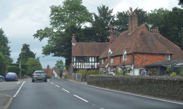
Hambledon, Surrey

Hambledon is a rural scattered village in the Waverley borough of Surrey, situated south of Guildford. It is dominated by a buffer zone of fields and woodland...

King Edward's School, Witley

King Edward's Witley is a private co-educational boarding and day school, founded in 1553 by King Edward VI and Nicholas Ridley, Bishop of London and Westminster...

Wormley, Surrey

Wormley is a village in Surrey, England in the parish of Witley, around Witley station, off the A283 Petworth Road about 5 km (3.1 mi) SSW of Godalming...

Witley railway station

Witley railway station is a station on the Portsmouth Direct Line in Surrey, England. It is 38 miles 36 chains (61.9 km) down the line from London Waterloo...

Witley

Witley is a village and civil parish in the Borough of Waverley in Surrey, England centred 2.6 miles (4 km) south west of the town of Godalming and 6.6...

Nearby Amenities

Located within 500m of 51.13573,-0.62938484
Orchard Farm
Landuse: farm
Note Retag: CS #48756035
Source: os_street_view
Lat/Long: 51.1343402/-0.6355635
Hambledon Common
Leisure: common
Source: os_street_view
Lat/Long: 51.1354342/-0.6293955
Post Office
Hambledon Post Office
Addr Country: GB
Addr Postcode: GU8 4HF
Brand: Post Office
Brand Wikidata: Q1783168
Contact Website: https://www.postoffice.co.uk/branch-finder/1019236/hambledon
Ref Pol Id: 1292
Lat/Long: 51.1347037/-0.6256572
Bus Stop
Operator: Stagecoach
Shelter: no
Lat/Long: 51.1364569/-0.6249203
Tourism: viewpoint
Lat/Long: 51.1363311/-0.6287584
Bench
Lat/Long: 51.1363539/-0.6286581
Post Box
Collection Plate: CP7D
Collection Times: Mo-Fr 09:00; Sa 07:00
Last Checked: 2020-09-17
Operator: Royal Mail
Post Box Type: wall
Ref: GU8 39D
Royal Cypher: EIIR
Royal Cypher Wikidata: Q33102113
Source: survey
Lat/Long: 51.1318657/-0.6326576
Telephone
Booth: K6
Covered: booth
Listed Status: Grade II
Lat/Long: 51.1346516/-0.6257807
The data included in this document is from www.openstreetmap.org. The data is made available under ODbL.

Have you been to Hambledon Common?

Leave your review of Hambledon Common below (or comments, questions and feedback).