Buss's Firs

Wood, Forest in Surrey Waverley

England

Buss's Firs

Church of St Peter
Church of St Peter Credit: Alex McGregor

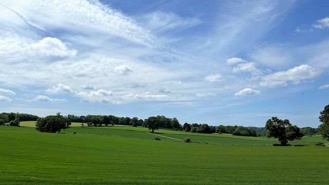
Buss's Firs, located in Surrey, England, is a prominent woodland area known for its scenic beauty and diverse flora and fauna. It covers an area of approximately 400 hectares and is part of the larger forested region of Surrey Hills Area of Outstanding Natural Beauty.

The woodland is primarily composed of fir trees, including varieties such as Douglas firs, Norway spruces, and Scots pines. These tall evergreen trees create a dense canopy, providing shade and shelter for a variety of wildlife species. The forest floor is covered with a thick layer of leaf litter, creating a rich habitat for numerous plants and animals.

Buss's Firs is home to a variety of wildlife, including deer, foxes, badgers, and a wide range of bird species. The woodland provides an important habitat for these animals, offering food sources and shelter.

The area is popular among nature enthusiasts, hikers, and mountain bikers, who can explore the numerous trails that crisscross the woodland. These trails provide a unique opportunity to experience the tranquility and natural beauty of the forest while enjoying outdoor activities.

Buss's Firs also plays a crucial role in water management and conservation. The woodland acts as a natural filter, helping to purify rainwater and prevent soil erosion. It also contributes to the overall health of the ecosystem by absorbing carbon dioxide and releasing oxygen, thereby aiding in the fight against climate change.

Overall, Buss's Firs in Surrey is a remarkable woodland area, cherished for its natural beauty, abundant wildlife, and ecological significance. It offers visitors a chance to connect with nature and enjoy the peacefulness and serenity of a truly enchanting forest.

If you have any feedback on the listing, please let us know in the comments section below.
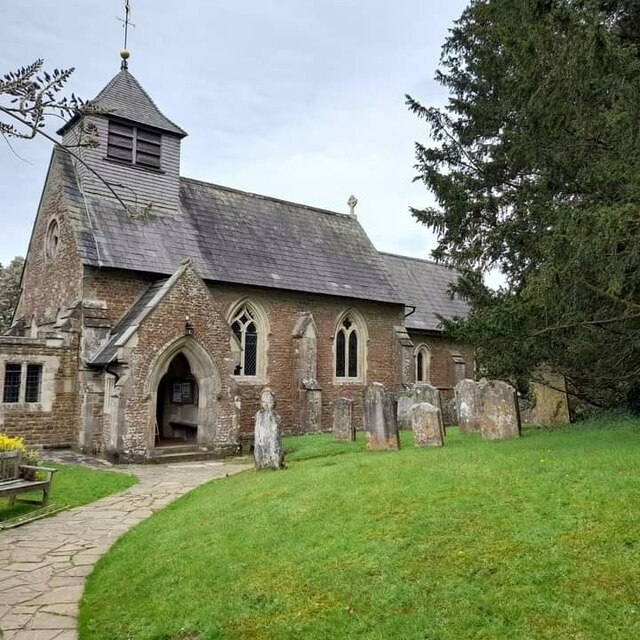
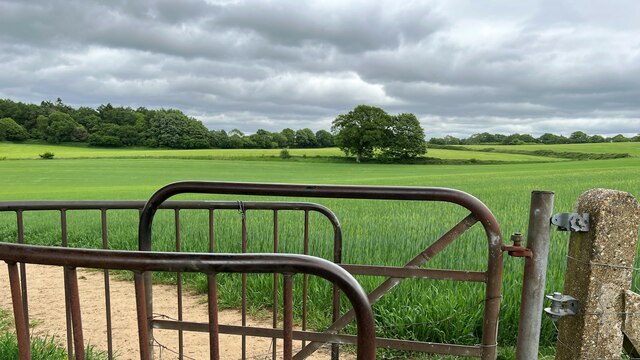
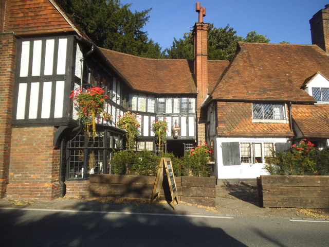
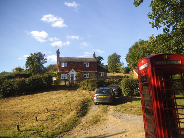
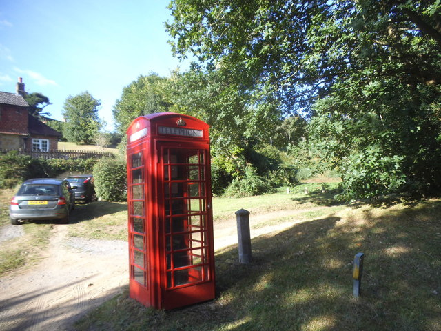
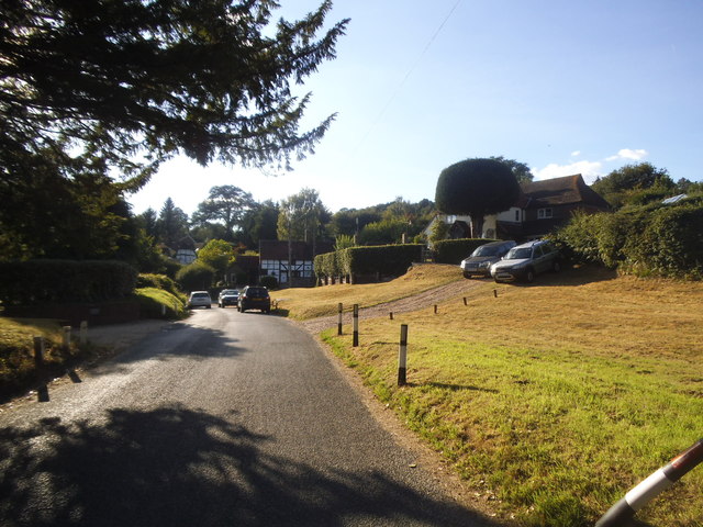
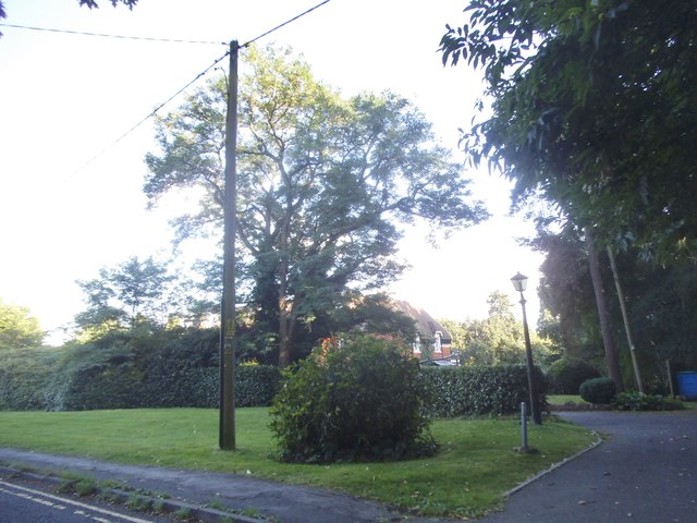
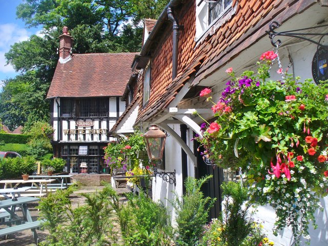
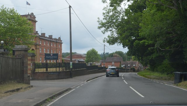
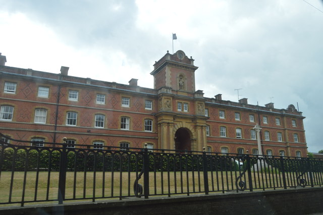
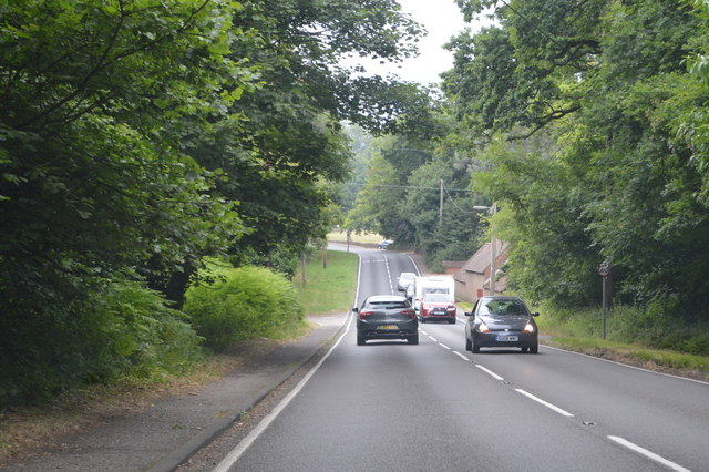
Buss's Firs Images

Images are sourced within 2km of 51.142145/-0.63354066 or Grid Reference SU9538. Thanks to Geograph Open Source API. All images are credited.

Church of St Peter
Church of St Peter
Fields south of Fourteen Acre Copse
Gate on path east of Court Farm - view to the east There's a very clear, neat path through the cultivated fields on either side of this gate.
Gate on path east of Court Farm - view to the east
There's a very clear, neat path through the cultivated fields on either side of this gate.
Toll House, Chiddingfold What looks to be an ex-toll house. The brick fabric looks late for a toll house so may well have served the Petworth Turnpike Trust in its dying years. It would have replaced a Toll House SSE on the North side of the ford/bridge at Northbridge.

Milestone Society National ID: SY.CHI
Toll House, Chiddingfold
What looks to be an ex-toll house. The brick fabric looks late for a toll house so may well have served the Petworth Turnpike Trust in its dying years. It would have replaced a Toll House SSE on the North side of the ford/bridge at Northbridge. Milestone Society National ID: SY.CHI
At last!!! Taken at the junction of Roke Lane and Sunnydown as it rains for the first time in MONTHS
At last!!!
Taken at the junction of Roke Lane and Sunnydown as it rains for the first time in MONTHS
The Star pub, Wheeler Street On the corner of Wheeler Lane and Petworth Road (A283).
The Star pub, Wheeler Street
On the corner of Wheeler Lane and Petworth Road (A283).
Phillips of Wormley
Phillips of Wormley
The White Hart, Witley
Brook Road at the junction of Petworth Road
House on Brook Road, Sandhills
Phone box on Brook Road, Sandhills
Brook Road, Sandhills
Green by Brook Road, Wormley
Witley - White Hart Attractive and historic timber-framed pub on the Petworth Road opposite Witley Church.
Witley - White Hart
Attractive and historic timber-framed pub on the Petworth Road opposite Witley Church.
A283, Wormley The A283 runs 37 miles from Milford near Guildford south to Shoreham-on-Sea across rural Surrey and West Sussex.
<span class="nowrap"><a title="https://www.sabre-roads.org.uk/wiki/index.php?title=A283" rel="nofollow ugc noopener" href="https://www.sabre-roads.org.uk/wiki/index.php?title=A283">Link</a><img style="margin-left:2px;" alt="External link" title="External link - shift click to open in new window" src="https://s1.geograph.org.uk/img/external.png" width="10" height="10"/></span>
A283, Wormley
The A283 runs 37 miles from Milford near Guildford south to Shoreham-on-Sea across rural Surrey and West Sussex. LinkExternal link
King Edward School. Wormley
A283, northbound The A283 runs 37 miles from Milford near Guildford south to Shoreham-on-Sea across rural Surrey and West Sussex.
<span class="nowrap"><a title="https://www.sabre-roads.org.uk/wiki/index.php?title=A283" rel="nofollow ugc noopener" href="https://www.sabre-roads.org.uk/wiki/index.php?title=A283">Link</a><img style="margin-left:2px;" alt="External link" title="External link - shift click to open in new window" src="https://s1.geograph.org.uk/img/external.png" width="10" height="10"/></span>
A283, northbound
The A283 runs 37 miles from Milford near Guildford south to Shoreham-on-Sea across rural Surrey and West Sussex. LinkExternal link
The White Hart The A283 runs 37 miles from Milford near Guildford south to Shoreham-on-Sea across rural Surrey and West Sussex.
<span class="nowrap"><a title="https://www.sabre-roads.org.uk/wiki/index.php?title=A283" rel="nofollow ugc noopener" href="https://www.sabre-roads.org.uk/wiki/index.php?title=A283">Link</a><img style="margin-left:2px;" alt="External link" title="External link - shift click to open in new window" src="https://s1.geograph.org.uk/img/external.png" width="10" height="10"/></span>
The White Hart
The A283 runs 37 miles from Milford near Guildford south to Shoreham-on-Sea across rural Surrey and West Sussex. LinkExternal link
Show me another place!

Buss's Firs is located at Grid Ref: SU9538 (Lat: 51.142145, Lng: -0.63354066)

Administrative County: Surrey

District: Waverley

Police Authority: Surrey

What 3 Words

///sidelined.truckload.message. Near Wormley, Surrey

Related Wikis

St Dominic's School

St. Dominic's School in Hambledon, Surrey, England is a co-educational day school, one of the oldest special schools in the United Kingdom. It specialises...

King Edward's School, Witley

King Edward's Witley is a private co-educational boarding and day school, founded in 1553 by King Edward VI and Nicholas Ridley, Bishop of London and Westminster...

Tigbourne Court

Tigbourne Court is an Arts and Crafts style country house in Wormley, Surrey, England, 1 mile (1.6 km) south of Witley. It was designed by architect Edwin...

Hambledon, Surrey

Hambledon is a rural scattered village in the Waverley borough of Surrey, situated south of Guildford. It is dominated by a buffer zone of fields and woodland...

Wormley, Surrey

Wormley is a village in Surrey, England in the parish of Witley, around Witley station, off the A283 Petworth Road about 5 km (3.1 mi) SSW of Godalming...

Oakhurst Cottage

Oakhurst Cottage is a tiny 16th or 17th-century cottage in Hambledon, Surrey, in the United Kingdom. It is a Grade II listed building.The cottage was given...

Witley

Witley is a village and civil parish in the Borough of Waverley in Surrey, England centred 2.6 miles (4 km) south west of the town of Godalming and 6.6...

Witley railway station

Witley railway station is a station on the Portsmouth Direct Line in Surrey, England. It is 38 miles 36 chains (61.9 km) down the line from London Waterloo...

Nearby Amenities

Located within 500m of 51.142145,-0.63354066
Parking
Lat/Long: 51.1430189/-0.6376498
The data included in this document is from www.openstreetmap.org. The data is made available under ODbL.

Have you been to Buss's Firs?

Leave your review of Buss's Firs below (or comments, questions and feedback).