Witley Ponds
Lake, Pool, Pond, Freshwater Marsh in Surrey Waverley
England
Witley Ponds

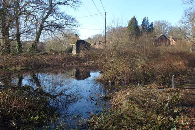
Witley Ponds, located in Surrey, England, is a picturesque freshwater marsh encompassing a series of interconnected lakes, pools, and ponds. This nature reserve covers an area of approximately 38 hectares and is a haven for a diverse range of flora and fauna.
The main feature of Witley Ponds is its three interconnected bodies of water: the Upper Pond, Middle Pond, and Lower Pond. These water bodies are fed by natural springs and provide a serene habitat for various aquatic species. The Upper Pond, situated at the highest point, is the largest of the three and is surrounded by lush vegetation, including reed beds and willow trees.
The Middle Pond, slightly smaller in size, boasts a mix of open water and emergent vegetation, attracting a variety of waterfowl and wading birds. The Lower Pond, located at the lowest point, offers a more secluded environment with dense vegetation and a profusion of water lilies.
The lakes and ponds of Witley are home to an array of wildlife, including mallards, coots, moorhens, and great crested grebes. The surrounding wetlands provide a vital habitat for several rare and protected species, such as the water vole and the great crested newt.
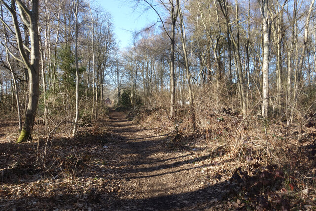
Visitors to Witley Ponds can enjoy a range of activities, including birdwatching, nature walks, and photography. The reserve is equipped with well-maintained footpaths and observation points, allowing visitors to explore the diverse habitats and observe the fascinating wildlife.
Overall, Witley Ponds in Surrey offers a tranquil and captivating natural environment, providing a sanctuary for both wildlife and those seeking a peaceful and immersive experience in nature.
If you have any feedback on the listing, please let us know in the comments section below.
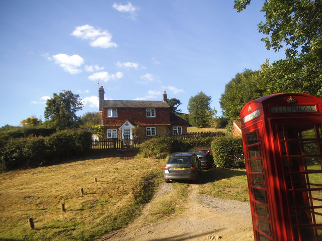
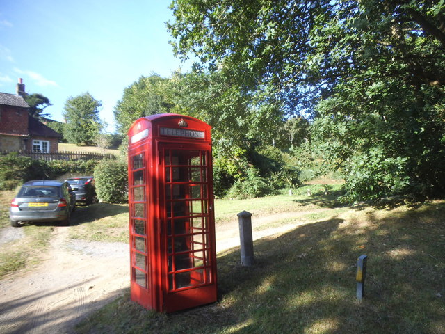
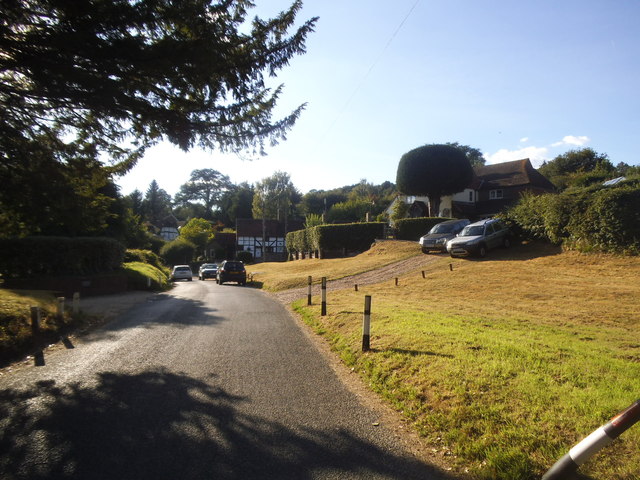
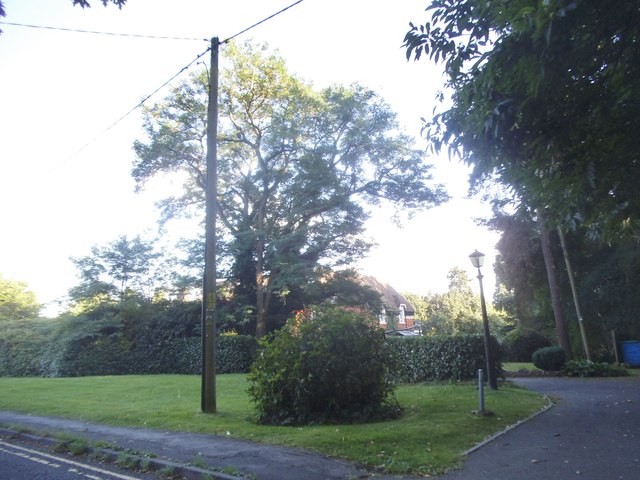
Witley Ponds Images
Images are sourced within 2km of 51.147531/-0.64271759 or Grid Reference SU9539. Thanks to Geograph Open Source API. All images are credited.


Witley Ponds is located at Grid Ref: SU9539 (Lat: 51.147531, Lng: -0.64271759)
Administrative County: Surrey
District: Waverley
Police Authority: Surrey
What 3 Words
///loaded.impeached.camper. Near Witley, Surrey
Nearby Locations
Related Wikis

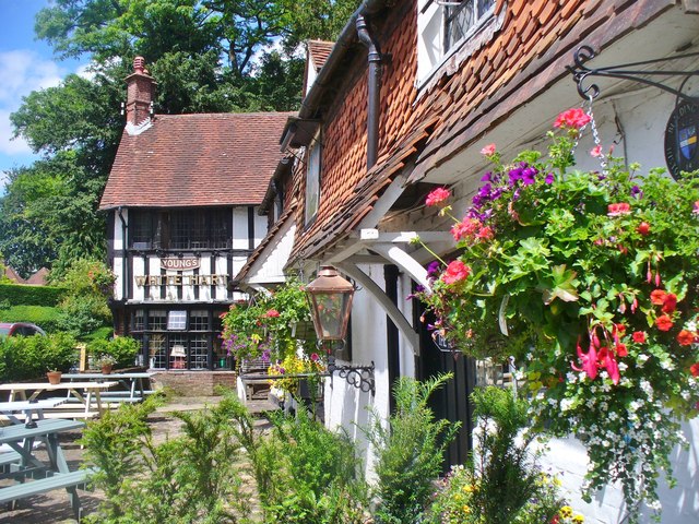
Witley
Witley is a village and civil parish in the Borough of Waverley in Surrey, England centred 2.6 miles (4 km) south west of the town of Godalming and 6.6...

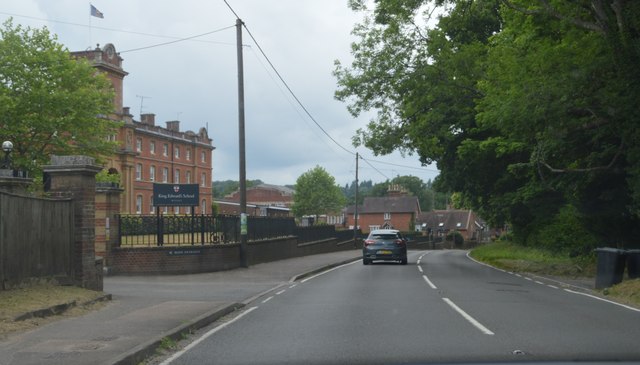
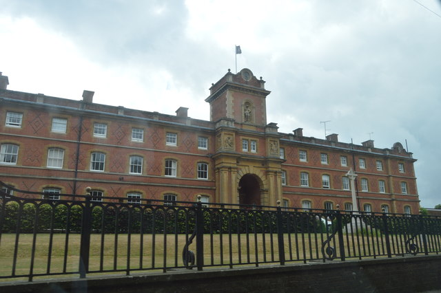
King Edward's School, Witley
King Edward's Witley is a private co-educational boarding and day school, founded in 1553 by King Edward VI and Nicholas Ridley, Bishop of London and Westminster...

Wormley, Surrey
Wormley is a village in Surrey, England in the parish of Witley, around Witley station, off the A283 Petworth Road about 5 km (3.1 mi) SSW of Godalming...
Ockford Ridge
Ockford Ridge is the part of the parish and town of Godalming, Surrey, England west of the London-Portsmouth railway. It has a narrow buffer to the west...

St Dominic's School
St. Dominic's School in Hambledon, Surrey, England is a co-educational day school, one of the oldest special schools in the United Kingdom. It specialises...

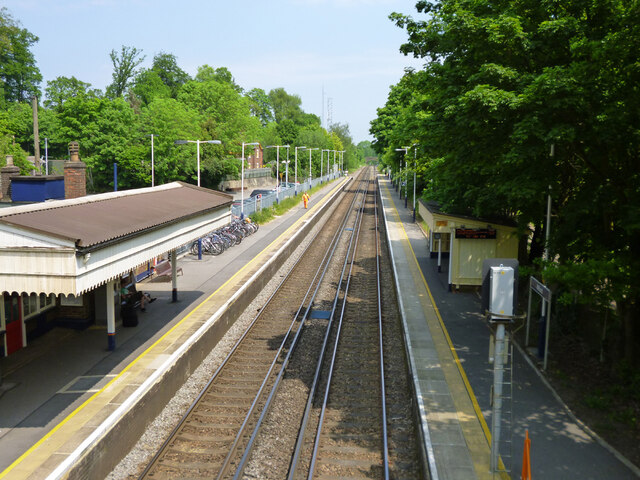
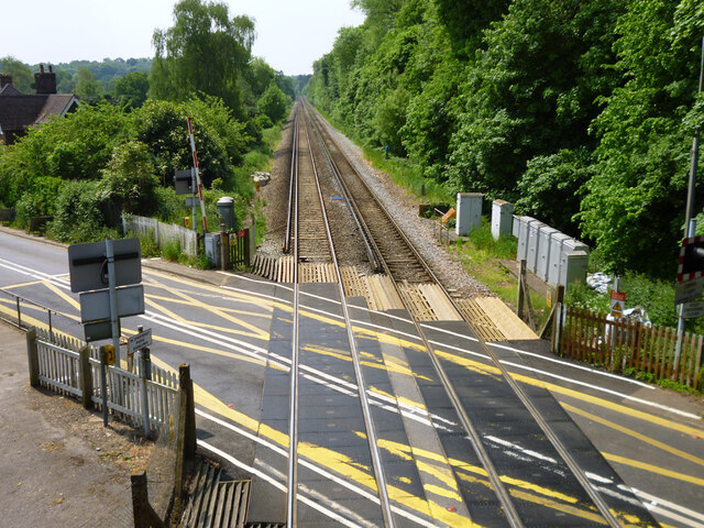
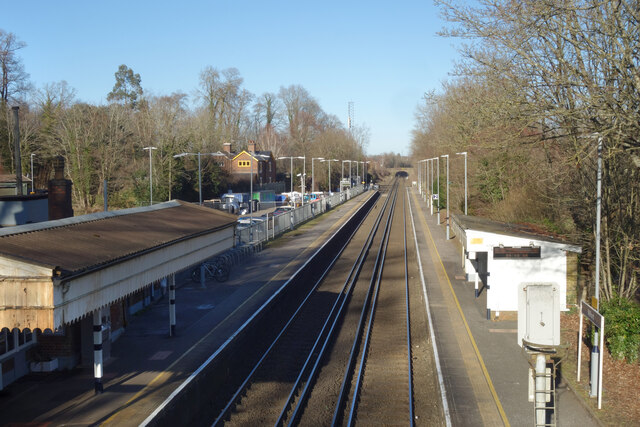
Witley railway station
Witley railway station is a station on the Portsmouth Direct Line in Surrey, England. It is 38 miles 36 chains (61.9 km) down the line from London Waterloo...

Rodborough School
Rodborough School is a coeducational secondary school with academy status, located in Milford, Surrey, England. The school is a feeder school for Godalming...

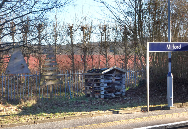
Milford railway station
Milford railway station is a railway station serving the village of Milford in the English county of Surrey. It is a stop on the Portsmouth Direct Line...
Nearby Amenities
Located within 500m of 51.147531,-0.64271759Have you been to Witley Ponds?
Leave your review of Witley Ponds below (or comments, questions and feedback).