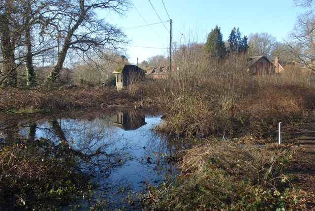
Upper Enton Lake
Lake, Pool, Pond, Freshwater Marsh in Surrey Waverley
England
Upper Enton Lake

Upper Enton Lake is a picturesque freshwater body located in the county of Surrey, England. Spanning an area of approximately 10 acres, this lake is nestled amidst the stunning countryside of the Surrey Hills, offering a tranquil escape for nature enthusiasts and visitors alike.
The lake itself is a combination of a pool, pond, and freshwater marsh, resulting in a diverse and thriving ecosystem. It is fed by natural springs and rainwater runoff, ensuring a constant supply of fresh water throughout the year. The surrounding marshland acts as a natural filtration system, maintaining the water quality and supporting a rich array of aquatic flora and fauna.
Upper Enton Lake is home to a wide variety of plant species, including water lilies, reeds, and rushes, which provide shelter and food for numerous bird species. The lake serves as a vital habitat for waterfowl such as swans, ducks, and geese, attracting birdwatchers from far and wide.
The serene surroundings of Upper Enton Lake also make it an ideal spot for fishing enthusiasts. The lake is known for its healthy population of coarse fish, including carp, roach, and tench. As a result, it attracts anglers of all skill levels who can enjoy a peaceful day by the water, surrounded by breathtaking views.
Due to its natural beauty and ecological significance, Upper Enton Lake has been designated as a Site of Special Scientific Interest (SSSI), ensuring its protection and preservation for future generations to enjoy. Whether it's birdwatching, fishing, or simply appreciating the tranquility of nature, Upper Enton Lake offers a truly enchanting experience for all who visit.
If you have any feedback on the listing, please let us know in the comments section below.
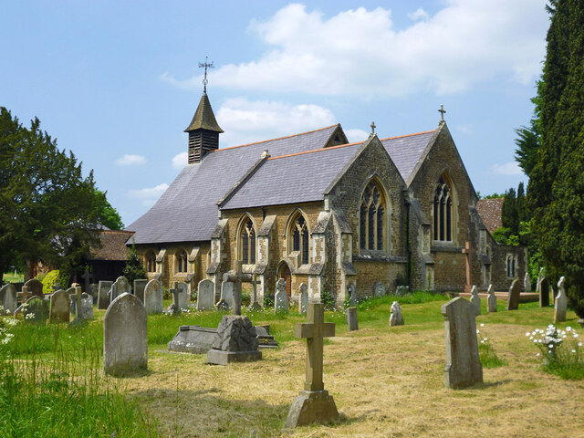
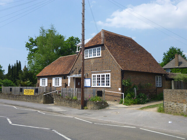
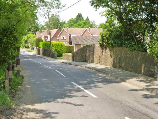
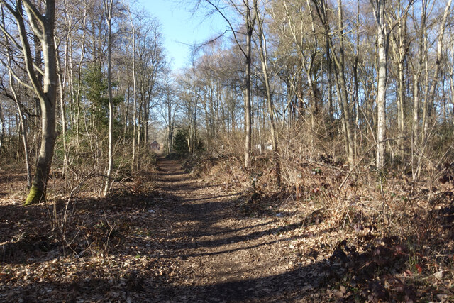
Upper Enton Lake Images
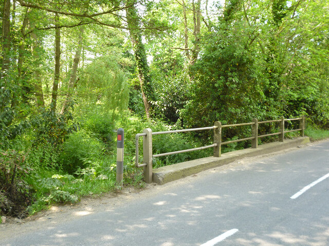
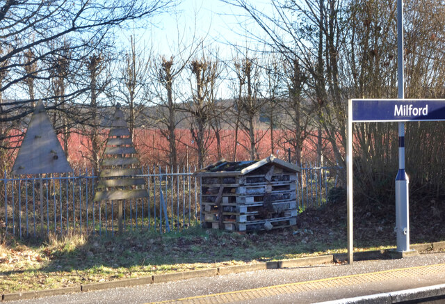
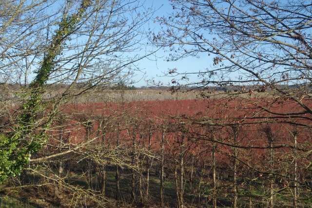
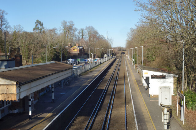
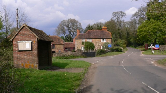
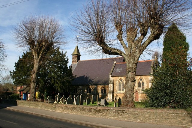
Images are sourced within 2km of 51.154311/-0.64269028 or Grid Reference SU9540. Thanks to Geograph Open Source API. All images are credited.

Upper Enton Lake is located at Grid Ref: SU9540 (Lat: 51.154311, Lng: -0.64269028)
Administrative County: Surrey
District: Waverley
Police Authority: Surrey
What 3 Words
///collapsed.velocity.swan. Near Witley, Surrey
Nearby Locations
Related Wikis

Witley
Witley is a village and civil parish in the Borough of Waverley in Surrey, England centred 2.6 miles (4 km) south west of the town of Godalming and 6.6...

Ockford Ridge
Ockford Ridge is the part of the parish and town of Godalming, Surrey, England west of the London-Portsmouth railway. It has a narrow buffer to the west...

Rodborough School
Rodborough School is a coeducational secondary school with academy status, located in Milford, Surrey, England. The school is a feeder school for Godalming...

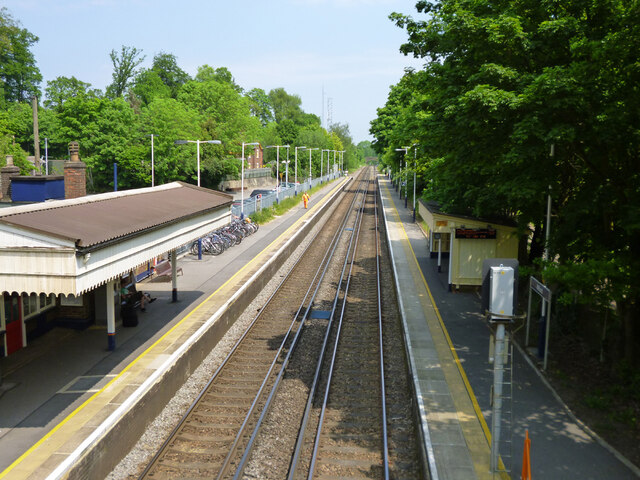
Milford railway station
Milford railway station is a railway station serving the village of Milford in the English county of Surrey. It is a stop on the Portsmouth Direct Line...
Aaron's Hill, Surrey
Aaron's Hill is a suburb of Godalming in Surrey, England. It is named after the hill it sits on and has a road named after it. Aaron's Hill is adjacent...
Hydestile
Hydestile is a hamlet in Waverley, south-west Surrey. It is around 2+1⁄2 miles (4.0 km) south of Godalming between the villages of Busbridge and Hambledon...
Milford, Surrey
Milford is a village in the civil parish of Witley south west of Godalming in Surrey, England that was a small village in the early medieval period — it...

Milford Hospital
Milford Hospital is located in the Surrey village of Milford. It is managed by the Royal Surrey County Hospital NHS Foundation Trust. == History == The...
Nearby Amenities
Located within 500m of 51.154311,-0.64269028Have you been to Upper Enton Lake?
Leave your review of Upper Enton Lake below (or comments, questions and feedback).