Enton Green
Settlement in Surrey Waverley
England
Enton Green
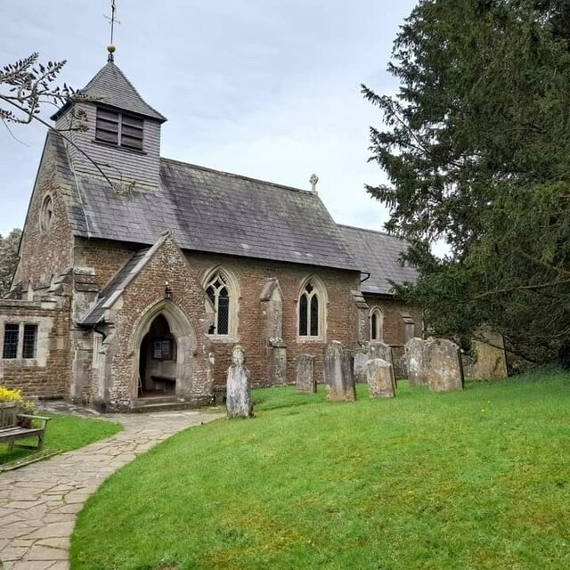
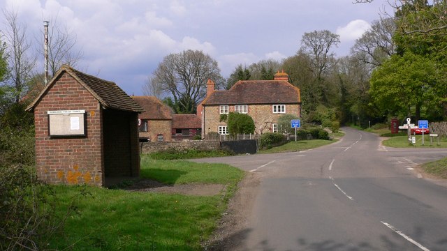
Enton Green is a small village located in the county of Surrey, England. Situated in the southeastern part of the country, it is nestled within the beautiful countryside and is known for its idyllic charm. The village is part of the Waverley borough and falls under the civil parish of Elstead.
With a population of around 200 residents, Enton Green offers a peaceful and close-knit community atmosphere. The village is characterized by its quaint cottages, well-maintained gardens, and picturesque landscapes, making it an attractive destination for those seeking a rural escape.
Despite its small size, Enton Green benefits from its proximity to larger towns and amenities. The village is conveniently located just a short distance from the bustling market town of Godalming, providing residents with access to a range of shops, restaurants, and leisure facilities. Additionally, the historic city of Guildford is easily accessible, offering further amenities and transport links.
Nature enthusiasts will appreciate the abundance of outdoor activities in and around Enton Green. The village is surrounded by lush countryside, providing ample opportunities for walking, cycling, and exploring the surrounding areas. The nearby River Wey is also a popular spot for fishing and boating.
Overall, Enton Green offers a tranquil and picturesque setting for residents and visitors alike, with its charming village atmosphere and access to both rural and urban amenities.
If you have any feedback on the listing, please let us know in the comments section below.
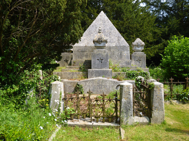
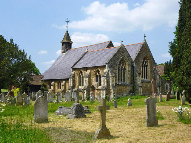
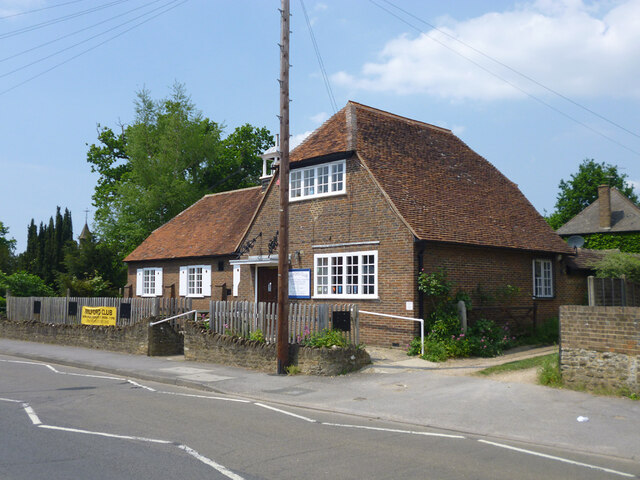
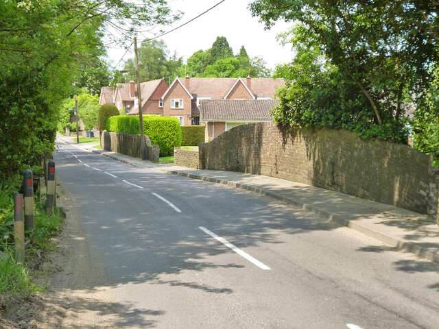
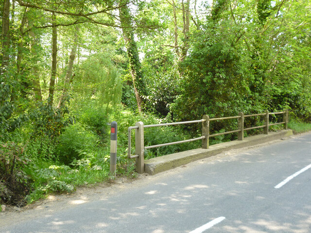
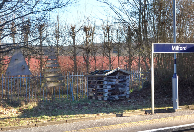
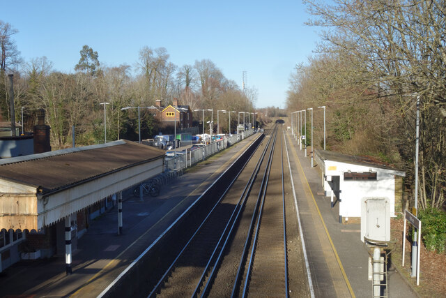
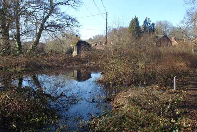
Enton Green Images
Images are sourced within 2km of 51.155966/-0.632379 or Grid Reference SU9540. Thanks to Geograph Open Source API. All images are credited.


Enton Green is located at Grid Ref: SU9540 (Lat: 51.155966, Lng: -0.632379)
Administrative County: Surrey
District: Waverley
Police Authority: Surrey
What 3 Words
///potential.simple.presses. Near Witley, Surrey
Nearby Locations
Related Wikis

Ockford Ridge
Ockford Ridge is the part of the parish and town of Godalming, Surrey, England west of the London-Portsmouth railway. It has a narrow buffer to the west...

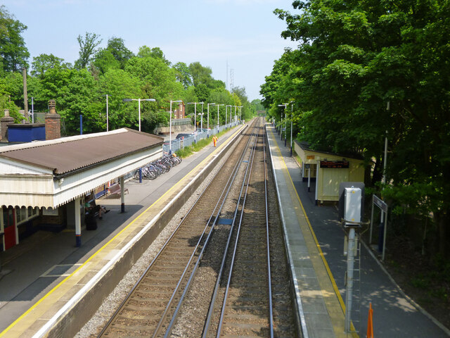
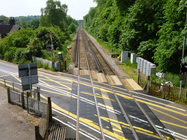
Milford railway station
Milford railway station is a railway station serving the village of Milford in the English county of Surrey. It is a stop on the Portsmouth Direct Line...
Hydestile
Hydestile is a hamlet in Waverley, south-west Surrey. It is around 2+1⁄2 miles (4.0 km) south of Godalming between the villages of Busbridge and Hambledon...

Witley
Witley is a village and civil parish in the Borough of Waverley in Surrey, England centred 2.6 miles (4 km) south west of the town of Godalming and 6.6...

Milford Hospital
Milford Hospital is located in the Surrey village of Milford. It is managed by the Royal Surrey County Hospital NHS Foundation Trust. == History == The...

Rodborough School
Rodborough School is a coeducational secondary school with academy status, located in Milford, Surrey, England. The school is a feeder school for Godalming...
Aaron's Hill, Surrey
Aaron's Hill is a suburb of Godalming in Surrey, England. It is named after the hill it sits on and has a road named after it. Aaron's Hill is adjacent...

Milford, Surrey
Milford is a village in the civil parish of Witley south west of Godalming in Surrey, England that was a small village in the early medieval period — it...
Nearby Amenities
Located within 500m of 51.155966,-0.632379Have you been to Enton Green?
Leave your review of Enton Green below (or comments, questions and feedback).