Foxall Wood
Wood, Forest in Surrey Waverley
England
Foxall Wood

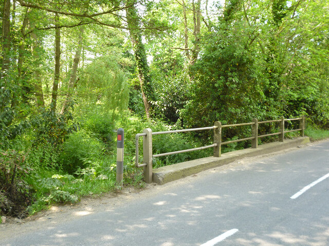
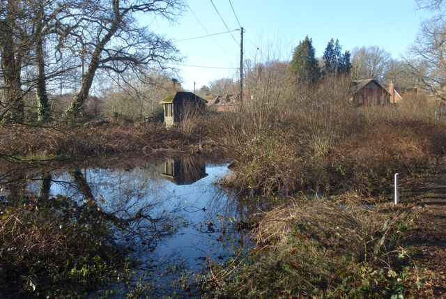
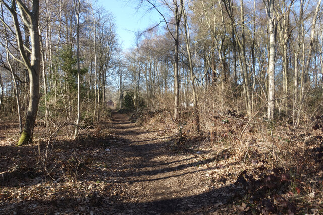
Foxall Wood is a picturesque woodland located in Surrey, England. It covers an area of approximately 100 acres and is known for its diverse range of flora and fauna. The wood is situated near the village of Abinger Hammer and is easily accessible from the nearby towns of Dorking and Guildford.
The wood is predominantly made up of broad-leaved trees such as oak, beech, and ash, which provide a stunning spectacle of colors during autumn. The dense canopy created by these trees allows for a cool and tranquil atmosphere, making it a popular spot for nature enthusiasts and walkers.
Foxall Wood is home to a variety of wildlife, including deer, badgers, and numerous bird species. Birdwatchers can often spot woodpeckers, buzzards, and owls among the tree branches. The woodland floor is covered with a carpet of bluebells during spring, creating a breathtakingly beautiful sight.
There are several well-maintained footpaths that crisscross through the wood, offering visitors the opportunity to explore its natural beauty. These paths lead to open meadows and clearings, providing stunning views of the surrounding countryside.
For those interested in history, Foxall Wood has remnants of ancient settlements and features such as old boundary banks and ditches. These historical elements add an extra layer of intrigue to the woodland, making it an attractive destination for history enthusiasts as well.
Overall, Foxall Wood is a hidden gem in Surrey, offering a serene and peaceful retreat from the hustle and bustle of everyday life. Its natural beauty, diverse wildlife, and historical significance make it a must-visit destination for nature lovers and history enthusiasts alike.
If you have any feedback on the listing, please let us know in the comments section below.
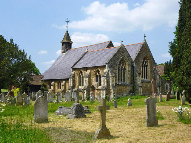
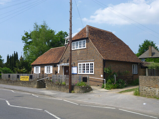
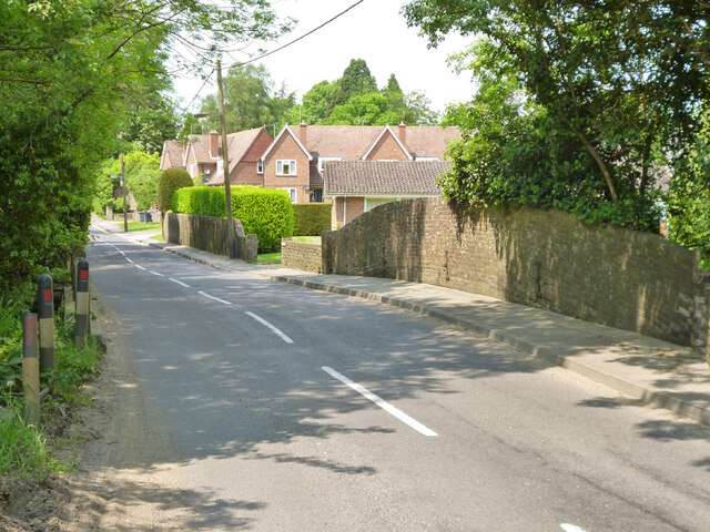
Foxall Wood Images
Images are sourced within 2km of 51.154728/-0.63605749 or Grid Reference SU9540. Thanks to Geograph Open Source API. All images are credited.


Foxall Wood is located at Grid Ref: SU9540 (Lat: 51.154728, Lng: -0.63605749)
Administrative County: Surrey
District: Waverley
Police Authority: Surrey
What 3 Words
///pricing.patio.loafing. Near Witley, Surrey
Nearby Locations
Related Wikis

Ockford Ridge
Ockford Ridge is the part of the parish and town of Godalming, Surrey, England west of the London-Portsmouth railway. It has a narrow buffer to the west...

Witley
Witley is a village and civil parish in the Borough of Waverley in Surrey, England centred 2.6 miles (4 km) south west of the town of Godalming and 6.6...

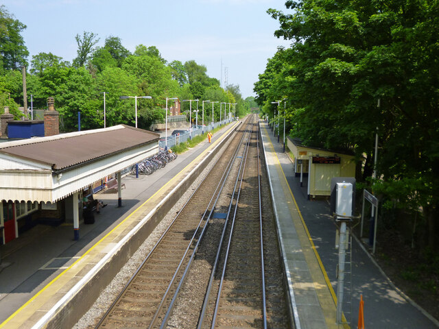
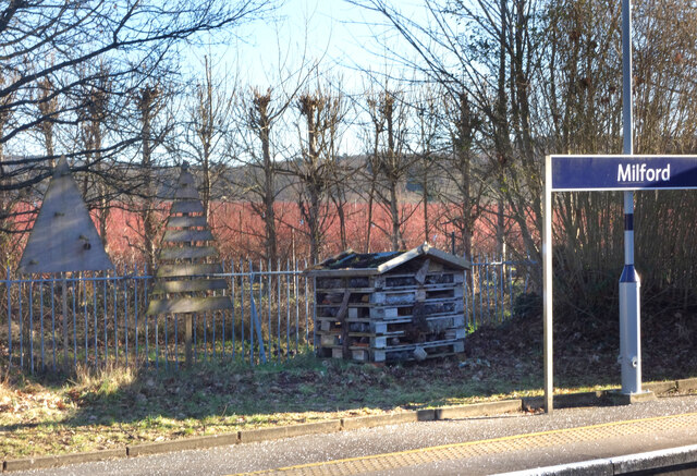
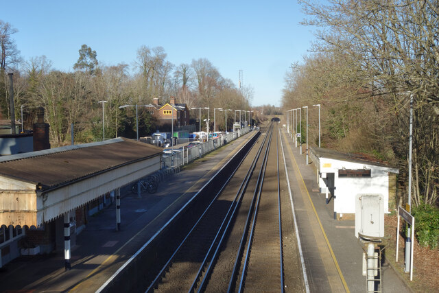
Milford railway station
Milford railway station is a railway station serving the village of Milford in the English county of Surrey. It is a stop on the Portsmouth Direct Line...

Rodborough School
Rodborough School is a coeducational secondary school with academy status, located in Milford, Surrey, England. The school is a feeder school for Godalming...
Hydestile
Hydestile is a hamlet in Waverley, south-west Surrey. It is around 2+1⁄2 miles (4.0 km) south of Godalming between the villages of Busbridge and Hambledon...

Milford Hospital
Milford Hospital is located in the Surrey village of Milford. It is managed by the Royal Surrey County Hospital NHS Foundation Trust. == History == The...
Aaron's Hill, Surrey
Aaron's Hill is a suburb of Godalming in Surrey, England. It is named after the hill it sits on and has a road named after it. Aaron's Hill is adjacent...

Milford, Surrey
Milford is a village in the civil parish of Witley south west of Godalming in Surrey, England that was a small village in the early medieval period — it...
Nearby Amenities
Located within 500m of 51.154728,-0.63605749Have you been to Foxall Wood?
Leave your review of Foxall Wood below (or comments, questions and feedback).