Harris's Lake

Lake, Pool, Pond, Freshwater Marsh in Surrey Waverley

England

Harris's Lake

Chippie in Portsmouth Road Fish and chip shops are a great British institution. In the 16th century Iberian refugees in London began selling white fish fried in a thin coat of flour. Friday became a particularly busy day as both Jews and Catholics wanted cooked fish that day. A hundred years later, Hugenots brought their fondness for fried potato to the capital. Joseph Malin opened the first chippy in Bethnal Green during the 1860s. Today there are more than 10,000 in England alone.
Chippie in Portsmouth Road Credit: Basher Eyre

Harris's Lake, located in the county of Surrey, is a picturesque freshwater body that offers a serene and tranquil environment for visitors and locals alike. Spanning over an area of approximately 20 acres, it is a popular destination for nature enthusiasts and those seeking a peaceful retreat.

The lake itself is surrounded by lush greenery, with dense forests and rolling hills providing a stunning backdrop. The crystal-clear waters of Harris's Lake provide a habitat for various aquatic species, making it a hotspot for birdwatching and wildlife observation.

One of the notable features of Harris's Lake is its diverse ecosystem. Alongside the main body of water, there are several smaller pools and ponds, each with its own distinct characteristics. These smaller water bodies support a variety of plant and animal life, creating a rich and thriving ecosystem.

Additionally, the lake is home to a freshwater marsh, which acts as a natural filter for the water, improving its quality and supporting a wide range of wetland plants. This marshland provides a habitat for numerous species of birds, amphibians, and insects, attracting nature enthusiasts who enjoy observing and learning about these fascinating creatures.

Harris's Lake is not only a haven for wildlife but also offers recreational activities for visitors. Fishing is a popular pastime, with anglers frequently catching various species of fish, including carp, roach, and tench. Additionally, the calm waters of the lake are suitable for boating and canoeing, providing a serene experience for those who wish to explore the surroundings from a different perspective.

In conclusion, Harris's Lake in Surrey is a beautiful freshwater body that offers a diverse ecosystem, abundant wildlife, and recreational opportunities for visitors to enjoy. Its tranquil atmosphere and stunning natural surroundings make it a must-visit destination for nature lovers and those seeking a peaceful retreat.

If you have any feedback on the listing, please let us know in the comments section below.

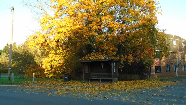
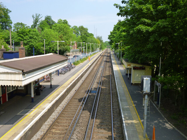
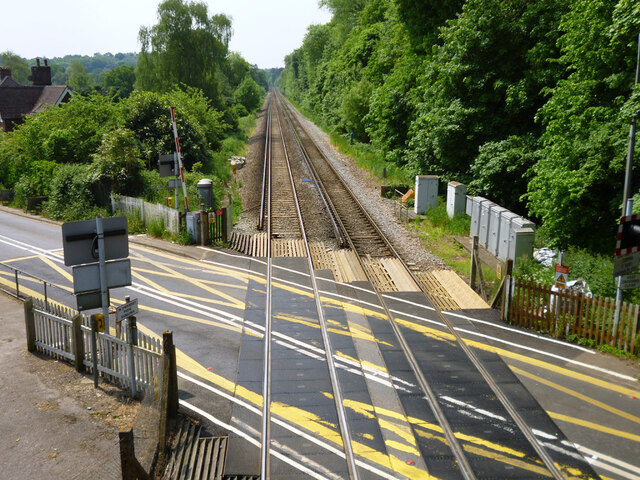
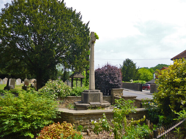
Harris's Lake Images

Images are sourced within 2km of 51.160282/-0.63728093 or Grid Reference SU9540. Thanks to Geograph Open Source API. All images are credited.

Chippie in Portsmouth Road Fish and chip shops are a great British institution. In the 16th century Iberian refugees in London began selling white fish fried in a thin coat of flour. Friday became a particularly busy day as both Jews and Catholics wanted cooked fish that day. A hundred years later, Hugenots brought their fondness for fried potato to the capital. Joseph Malin opened the first chippy in Bethnal Green during the 1860s. Today there are more than 10,000 in England alone.
Chippie in Portsmouth Road
Fish and chip shops are a great British institution. In the 16th century Iberian refugees in London began selling white fish fried in a thin coat of flour. Friday became a particularly busy day as both Jews and Catholics wanted cooked fish that day. A hundred years later, Hugenots brought their fondness for fried potato to the capital. Joseph Malin opened the first chippy in Bethnal Green during the 1860s. Today there are more than 10,000 in England alone.
Bus stop at the junction of Guildford and Portsmouth Roads Bus stops range from a simple sign with the number of the bus and the company operating the service to elaborate structures that have an architectural pedigree all of their own. These days they are often linked via computer to the bus and the depot and display the waiting time in minutes.
Bus stop at the junction of Guildford and Portsmouth Roads
Bus stops range from a simple sign with the number of the bus and the company operating the service to elaborate structures that have an architectural pedigree all of their own. These days they are often linked via computer to the bus and the depot and display the waiting time in minutes.
At last!!! Taken at the junction of Roke Lane and Sunnydown as it rains for the first time in MONTHS
At last!!!
Taken at the junction of Roke Lane and Sunnydown as it rains for the first time in MONTHS
Milford station Looking towards London on the Portsmouth Direct Line.
Milford station
Looking towards London on the Portsmouth Direct Line.
Level crossing by Milford station Looking towards Portsmouth on the Portsmouth Direct Line.
Level crossing by Milford station
Looking towards Portsmouth on the Portsmouth Direct Line.
The Star pub, Wheeler Street On the corner of Wheeler Lane and Petworth Road (A283).
The Star pub, Wheeler Street
On the corner of Wheeler Lane and Petworth Road (A283).
Milford - war memorial By St. John's church on Church Road.
Milford - war memorial
By St. John's church on Church Road.
Tomb, St. John's churchyard, Milford Several Webbs.
Tomb, St. John's churchyard, Milford
Several Webbs.
St. John's church, Milford
Milford Club, Church Road CIU affiliated.
Milford Club, Church Road
CIU affiliated.
Cut mark on Station Lane bridge over River Ock East parapet south end, 50.025 m above datum.
Cut mark on Station Lane bridge over River Ock
East parapet south end, 50.025 m above datum.
East parapet, Station Lane bridge over River Ock The other side of the road is just railings, suggesting the road has been widened.
East parapet, Station Lane bridge over River Ock
The other side of the road is just railings, suggesting the road has been widened.
Railings, west side of Church Lane bridge over River Ock The other side has an elderly brick parapet.
Railings, west side of Church Lane bridge over River Ock
The other side has an elderly brick parapet.
Signs, Secretts Farm Shop and Country Delicatessen
Milford Pharmacy On Portsmouth Road.
Milford Pharmacy
On Portsmouth Road.
St. Joseph's Catholic Church, Milford
Outside The Refectory Sign in front of a large pub restaurant on Portsmouth Road.
Outside The Refectory
Sign in front of a large pub restaurant on Portsmouth Road.
Meadow Close, Milford A short residential cul de sac off Portsmouth Road.
Meadow Close, Milford
A short residential cul de sac off Portsmouth Road.
Show me another place!

Harris's Lake is located at Grid Ref: SU9540 (Lat: 51.160282, Lng: -0.63728093)

Administrative County: Surrey

District: Waverley

Police Authority: Surrey

What 3 Words

///doped.fatigued.goofy. Near Witley, Surrey

Related Wikis

Ockford Ridge

Ockford Ridge is the part of the parish and town of Godalming, Surrey, England west of the London-Portsmouth railway. It has a narrow buffer to the west...

Milford railway station

Milford railway station is a railway station serving the village of Milford in the English county of Surrey. It is a stop on the Portsmouth Direct Line...

Rodborough School

Rodborough School is a coeducational secondary school with academy status, located in Milford, Surrey, England. The school is a feeder school for Godalming...

Milford Hospital

Milford Hospital is located in the Surrey village of Milford. It is managed by the Royal Surrey County Hospital NHS Foundation Trust. == History == The...

Nearby Amenities

Located within 500m of 51.160282,-0.63728093
Post Box
Fixme: I went past this location on Saturday 26th September 2020 and I did not see a postbox here. It is unlikely that a postbox would be here along Tuesley Lane when there is a postbox along Station Lane within 200 metres.
Lat/Long: 51.159718/-0.6320452
Bicycle Parking
Capacity: 14
Lat/Long: 51.163469/-0.6366235
Post Box
Brand: Royal Mail
Brand Wikidata: Q638098
Collection Plate: CP5D
Collection Times: Mo-Fr 09:00; Sa 07:00
Old Ref: GU8 40
Operator: Royal Mail
Operator Wikidata: Q638098
Post Box Mounting: brick_wall
Post Box Type: wall
Ref: GU8 40D
Royal Cypher: VR
Royal Cypher Wikidata: Q33102356
Source: survey
Lat/Long: 51.1632581/-0.6370661
Milford
Public Transport: stop_position
Railway: stop
Train: yes
Lat/Long: 51.1631833/-0.6369188
Crossing Barrier: half
Railway: level_crossing
Lat/Long: 51.1630153/-0.637007
Crossing Barrier: half
Railway: level_crossing
Lat/Long: 51.1629753/-0.6369766
Power: pole
Lat/Long: 51.1615281/-0.6309467
Power: pole
Lat/Long: 51.1604903/-0.6319043
Power: pole
Lat/Long: 51.1594339/-0.6328779
Power: pole
Lat/Long: 51.1585524/-0.6333178
Milford
Naptan AtcoCode: 9100MLFORD
Network: National Rail
Network Website: https://www.nationalrail.co.uk/stations/mlf/
Network Wikidata: Q26334
Official Name: Milford (Surrey)
Platforms: 2
Public Transport: station
Railway: station
Ref Crs: MLF
Wikidata: Q4708340
Wikipedia: en:Milford railway station
Lat/Long: 51.163179/-0.6368939
Milford
Public Transport: stop_position
Railway: stop
Train: yes
Lat/Long: 51.1631743/-0.6368708
Advertising: board
Operator: Witley Parish Council
Source: survey
Lat/Long: 51.1581876/-0.6313142
Waste Basket
Ashtray: yes
Colour: black
Covered: yes
Material: metal
Operator: Waverley Borough Council
Source: survey
Website: https://www.waverley.gov.uk/litter
Lat/Long: 51.1641566/-0.6377594
Shorts Plant & Tool Hire | Trade & DIY Shop
Addr City: Milford, Godalming
Addr Street: Station Lane
Opening Hours: Mo-Fr 07:00-17:00; Sa 08:00-12:00
Phone: +44 1483 418887
Shop: tool_hire
Source: survey
Website: shorts-group.co.uk
Lat/Long: 51.1642316/-0.6374632
Tourism: camp_site
Lat/Long: 51.1644335/-0.6386465
Crossing
Crossing: unmarked
Lat/Long: 51.1605818/-0.631395
Crossing
Crossing: unmarked
Lat/Long: 51.1605448/-0.6315593
Bicycle Parking
Bicycle Parking: stands
Capacity: 30
Covered: no
Lat/Long: 51.1633524/-0.6369499
Bicycle Parking
Bicycle Parking: rack
Covered: yes
Lat/Long: 51.1634233/-0.6369967
Telephone
Booth: KX300
Covered: booth
Lat/Long: 51.1632212/-0.6370134
The data included in this document is from www.openstreetmap.org. The data is made available under ODbL.

Have you been to Harris's Lake?

Leave your review of Harris's Lake below (or comments, questions and feedback).