Bury Pond

Lake, Pool, Pond, Freshwater Marsh in Buckinghamshire

England

Bury Pond

Darvell Drive, Chesham
Darvell Drive, Chesham Credit: David Howard

Bury Pond is a picturesque freshwater pond located in the county of Buckinghamshire, England. Nestled within the charming village of Bury, this tranquil body of water covers an area of approximately 1.5 acres. Despite its relatively small size, Bury Pond boasts a diverse ecosystem, making it an important ecological site within the region.

Surrounded by lush greenery, Bury Pond is home to a variety of wildlife. The clear waters of the pond support an array of freshwater species, including fish, amphibians, and aquatic plants. The presence of these organisms contributes to a delicate balance within the pond, creating a thriving habitat for many species.

The pond's scenic surroundings also attract a wide range of bird species, making it an ideal location for birdwatching enthusiasts. Visitors may catch a glimpse of ducks, swans, herons, and other waterfowl that frequent the pond's serene waters.

Bury Pond's importance extends beyond its natural beauty. The pond serves as a freshwater marsh, playing a crucial role in water filtration and flood prevention. It acts as a natural reservoir, absorbing excess rainwater and helping to regulate water levels in the surrounding area.

For locals and visitors alike, Bury Pond offers a peaceful retreat from the bustle of everyday life. The area surrounding the pond provides ample opportunities for leisurely walks, picnics, and moments of relaxation in nature's embrace.

If you have any feedback on the listing, please let us know in the comments section below.
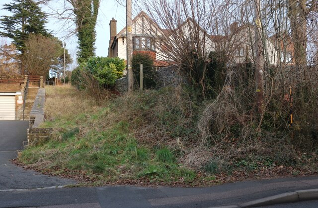
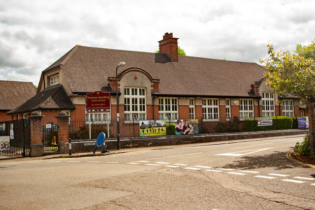
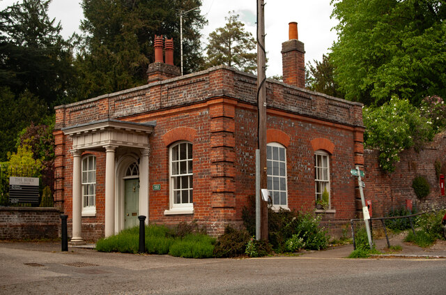
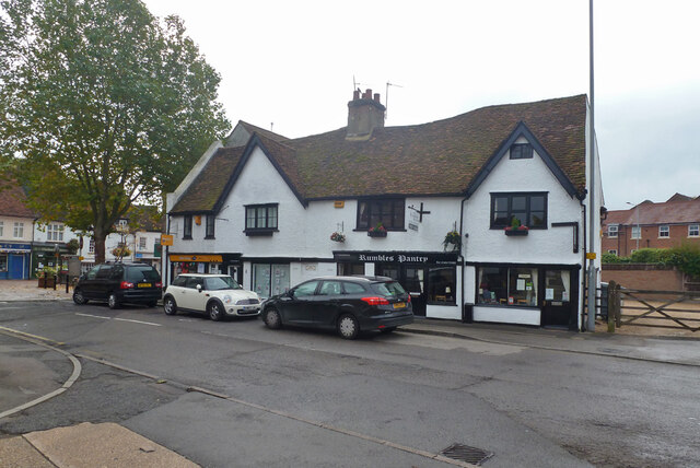
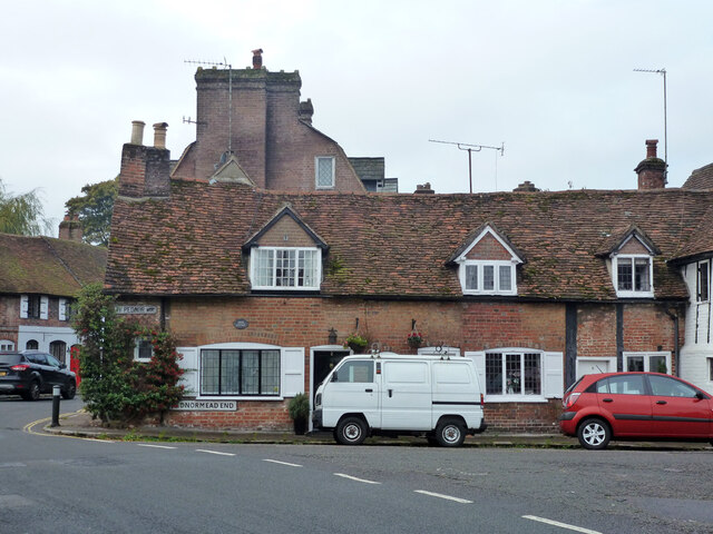
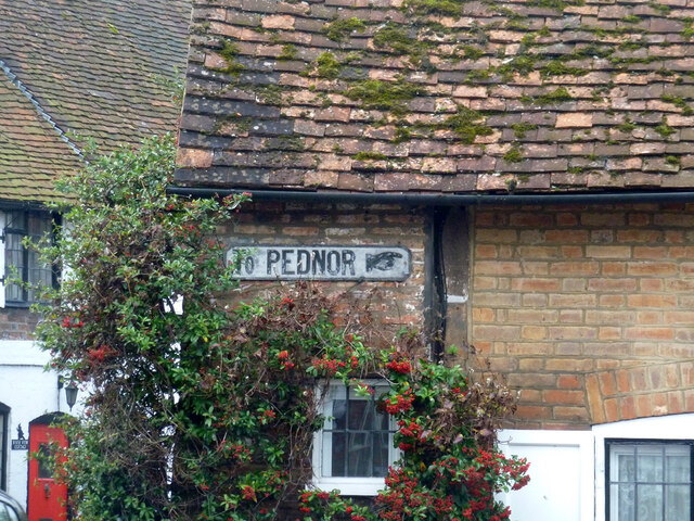
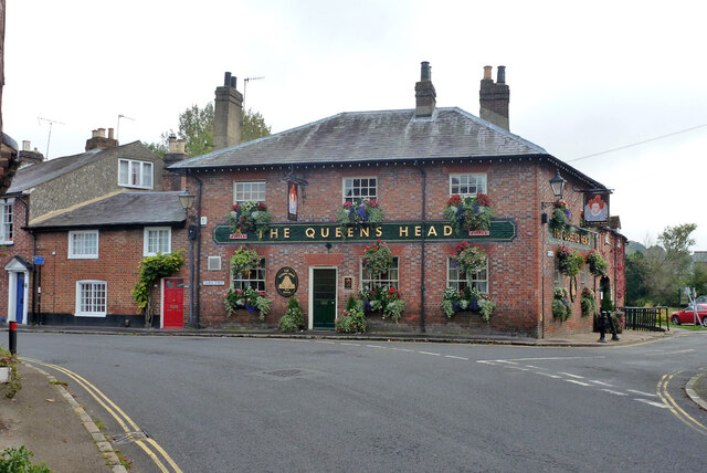
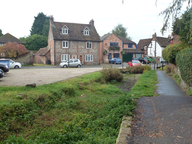
Bury Pond Images

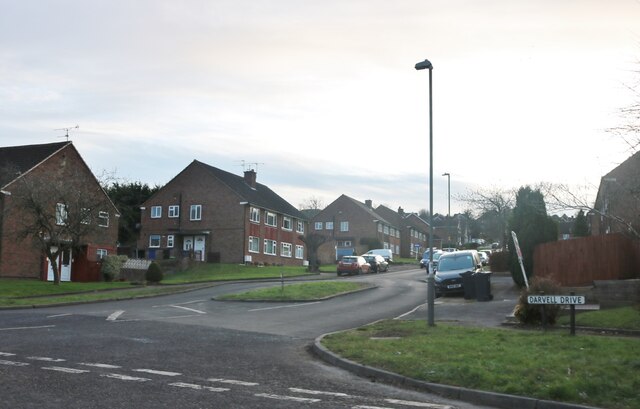
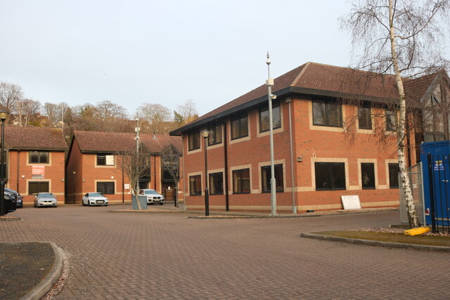
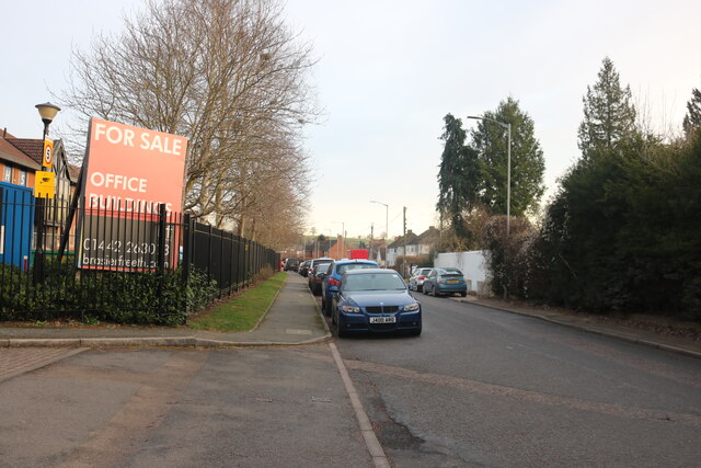
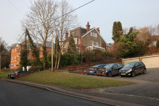
Images are sourced within 2km of 51.704439/-0.62096648 or Grid Reference SP9501. Thanks to Geograph Open Source API. All images are credited.

Darvell Drive, Chesham
Asheridge Road at the junction of Bellingdon Road
Chiltern Court, Chesham
Asheridge Road, Chesham
Hivings Hill, Chesham
Houses on  Hivings Hill, Chesham
Houses on Hivings Hill, Chesham
Chesham : Thomas Harding Junior School "Born c. 1470, Harding lived in Amersham and then Chesham, where he was a farmer. He was a member of the Lollard community and believed in the right to read the scriptures in English. As a result of his unconventional beliefs he was found guilty of heresy and sentenced to be burnt to death at a place now known as Martyr’s Dell on White Hill. Harding was, however, spared a fiery death. As the fire was being lit, someone in the crowd threw a piece of firewood which hit him on the head and killed him instantly." - <span class="nowrap"><a title="https://www.chesham.gov.uk/Open_Spaces/Martyr_Stone.aspx" rel="nofollow ugc noopener" href="https://www.chesham.gov.uk/Open_Spaces/Martyr_Stone.aspx">Link</a><img style="margin-left:2px;" alt="External link" title="External link - shift click to open in new window" src="https://s1.geograph.org.uk/img/external.png" width="10" height="10"/></span>
Chesham : Thomas Harding Junior School
"Born c. 1470, Harding lived in Amersham and then Chesham, where he was a farmer. He was a member of the Lollard community and believed in the right to read the scriptures in English. As a result of his unconventional beliefs he was found guilty of heresy and sentenced to be burnt to death at a place now known as Martyr’s Dell on White Hill. Harding was, however, spared a fiery death. As the fire was being lit, someone in the crowd threw a piece of firewood which hit him on the head and killed him instantly." - LinkExternal link
Chesham : North Lodge, The Bury One of pair. Grade II listed - <span class="nowrap"><a title="https://historicengland.org.uk/listing/the-list/list-entry/1311454?section=official-list-entry" rel="nofollow ugc noopener" href="https://historicengland.org.uk/listing/the-list/list-entry/1311454?section=official-list-entry">Link</a><img style="margin-left:2px;" alt="External link" title="External link - shift click to open in new window" src="https://s1.geograph.org.uk/img/external.png" width="10" height="10"/></span>.
Chesham : North Lodge, The Bury
One of pair. Grade II listed - LinkExternal link.
Premises on Church Street, Chesham A grade II listed building, around 1600.
Premises on Church Street, Chesham
A grade II listed building, around 1600.
Market Square, Chesham The south end. The buildings are grade II listed.
Market Square, Chesham
The south end. The buildings are grade II listed.
Market Square, Chesham Most of the buildings are grade II listed, but not the clock tower, which is modern.
Market Square, Chesham
Most of the buildings are grade II listed, but not the clock tower, which is modern.
Chesham station, street entrance A very humble station now, with just a single terminating track. Once there was a quite large goods yard behind the camera to the left, now a car park. The station buildings, including the disused signal box and water tower, are grade II listed.
Chesham station, street entrance
A very humble station now, with just a single terminating track. Once there was a quite large goods yard behind the camera to the left, now a car park. The station buildings, including the disused signal box and water tower, are grade II listed.
Former school, Chesham Dated 1845, now church rooms.
Former school, Chesham
Dated 1845, now church rooms.
Lodges at gate to The Bury, Chesham North Lodge and South Lodge are grade II listed buildings, 18th century.
Lodges at gate to The Bury, Chesham
North Lodge and South Lodge are grade II listed buildings, 18th century.
Cottages, Pednormead End, Chesham Grade II listed, early 17th century.
Cottages, Pednormead End, Chesham
Grade II listed, early 17th century.
Old direction sign, Pednormead End, Chesham
The Queens Head, Queen Street, Chesham A pub on the corner of Wey Lane.
The Queens Head, Queen Street, Chesham
A pub on the corner of Wey Lane.
River Chess, Chesham The path runs between two channels of the river, looking as if at least one powered something downstream, this is looking upstream. This channel is very dry, as is frequently the case in season in these chalk lands.
River Chess, Chesham
The path runs between two channels of the river, looking as if at least one powered something downstream, this is looking upstream. This channel is very dry, as is frequently the case in season in these chalk lands.
Show me another place!

Bury Pond is located at Grid Ref: SP9501 (Lat: 51.704439, Lng: -0.62096648)

Unitary Authority: Buckinghamshire

Police Authority: Thames Valley

What 3 Words

///kind.laser.hips. Near Chesham, Buckinghamshire

Related Wikis

St Mary's Church, Chesham

St. Mary's Church is a Grade I listed Anglican church in Chesham, Buckinghamshire, and is part of the Diocese of Oxford. Built on the site of a Bronze...

Chiltern Hills Academy

Chiltern Hills Academy is a co-educational Academy School in Chesham, Buckinghamshire. It is a Church Of England school, which takes children from the...

Chesham tube station

Chesham tube station is a London Underground station in Chesham, Buckinghamshire, United Kingdom. It was opened on 8 July 1889 by the Metropolitan Railway...

Amy Lane

Amy Lane, also known as The Meadow, is a cricket ground in Chesham, Buckinghamshire. The first recorded match on the ground was in 1907, Buckinghamshire...

Nearby Amenities

Located within 500m of 51.704439,-0.62096648
Sport: bowls
Lat/Long: 51.7054156/-0.6182256
Recycling
Lat/Long: 51.7051925/-0.6138534
Townhall
Chesham Town Council
Lat/Long: 51.7048887/-0.6139046
Crossing
Crossing: unmarked
Crossing Markings: no
Traffic Calming: island
Lat/Long: 51.7035724/-0.6143621
Turning Circle
Turning Circle: circle
Lat/Long: 51.7009528/-0.6184244
Turning Circle
Turning Circle: circle
Lat/Long: 51.7004916/-0.6192255
Turning Circle
Turning Circle: hammer
Lat/Long: 51.7004021/-0.6224882
Turning Circle
Turning Circle: knuckle
Lat/Long: 51.7001673/-0.6214134
Restaurant
Lat/Long: 51.7040194/-0.6145242
Toilets
Fee: no
Lat/Long: 51.7065208/-0.614583
Chesham 1879 Lawn Tennis and Squash Club
Addr City: Chesham
Addr Postcode: HP5 2JU
Addr Street: Pednormead End
Sport: tennis
Website: https://www.chesham1879.co.uk/
Lat/Long: 51.702883/-0.6200551
Drydell Cottages
Place: residence
Lat/Long: 51.7032481/-0.6247488
Frogmoor
Place: locality
Source: OS OpenData StreetView
Lat/Long: 51.7056908/-0.6245432
Pednor Bottom
Place: locality
Source: OS OpenData StreetView
Lat/Long: 51.7069807/-0.6249294
Historic: archaeological_site
Source: Estimate from OS Opendata Streetview
Lat/Long: 51.7068451/-0.6206933
The Bury
Place: residence
Source: OS OpenData StreetView
Lat/Long: 51.7040194/-0.6176677
Crossing
Crossing: uncontrolled
Crossing Markings: yes
Lat/Long: 51.7038484/-0.6141126
Old Town
Place: suburb
Lat/Long: 51.7022915/-0.6149867
Turning Circle
Turning Circle: circle
Lat/Long: 51.7014518/-0.617497
Theatre
Temperance Hall / The Little Theatre by the Park
Addr City: Chesham
Addr Postcode: HP5 1HU
Addr Street: Church Street
Website: https://www.littletheatrechesham.co.uk/index.php
Lat/Long: 51.7043062/-0.6146852
Community Centre
St Mary's Church Rooms
Community Centre: church_hall
Operator: St Mary's Church Chesham
Religion: christian
Lat/Long: 51.703979/-0.6156578
Post Box
Check Date: 2023-08-07
Collection Times: Mo-Fr 09:00; Sa 07:00
Operator: Royal Mail
Operator Wikidata: Q638098
Post Box Type: wall
Ref: HP5 36D
Royal Cypher: EIIR
Royal Cypher Wikidata: Q33102113
Source: survey
Lat/Long: 51.703727/-0.6162911
Archena Gardens
Leisure: garden
Lat/Long: 51.7042984/-0.614489
Wright's Meadow
Leisure: park
Note: Site of Wright's Mill (Plaque on wall from Chesham Town Council)
Lat/Long: 51.7026628/-0.6160366
Recycling
Water meadow carpark recycling point
Recycling Cans: yes
Recycling Glass: yes
Recycling Paper: yes
Recycling Plastic: yes
Lat/Long: 51.7029337/-0.6155538
Charging Station
Brand: BP Pulse
Brand Wikidata: Q39057719
Capacity: 2
Fee: yes
Operator: BP Pulse
Operator Wikidata: Q39057719
Lat/Long: 51.7031961/-0.6150693
Post Box
Collection Times: Mo-Fr 09:00; Sa 07:00
Operator: Royal Mail
Operator Wikidata: Q638098
Post Box Type: wall
Ref: HP5 2D
Royal Cypher: EIIR
Royal Cypher Wikidata: Q33102113
Source: survey
Survey Date: 2016-04-16
Lat/Long: 51.7076609/-0.6166062
Post Box
Collection Times: Mo-Fr 09:00; Sa 07:00
Operator: Royal Mail
Operator Wikidata: Q638098
Post Box Mounting: brick_pillar
Post Box Type: wall
Ref: HP5 142D
Royal Cypher: GVIR
Royal Cypher Wikidata: Q33102169
Source: survey
Survey Date: 2015-12-08
Lat/Long: 51.7009167/-0.6202872
Crossing
Crossing: uncontrolled
Crossing Markings: yes
Lat/Long: 51.7038203/-0.6142489
Leisure: bandstand
Lat/Long: 51.7054399/-0.614989
Millennium Milepost Chesham
Description: 1) Wendover 9.5, Aylesbury 14.5 2) Amersham 3, Gerrards Cross 13
Image: https://www.cyclestreets.net/location/194756/cyclestreets194756-size640.jpg
Information: guidepost
Ncn Milepost: mills
Sustrans Ref: MP 721
Tourism: information
Lat/Long: 51.705551/-0.6154037
Direction: 140
Generator Method: photovoltaic
Generator Output Electricity: yes
Generator Solar Modules: 10
Generator Source: solar
Generator Type: solar_photovoltaic_panel
Location: roof
Power: generator
Lat/Long: 51.7018176/-0.6166842
Fixme: solar panel?
Lat/Long: 51.7077775/-0.6165168
Fixme: solar panel?
Lat/Long: 51.7087421/-0.6222373
Direction: 130
Generator Method: photovoltaic
Generator Output Electricity: yes
Generator Solar Modules: 10
Generator Source: solar
Generator Type: solar_photovoltaic_panel
Location: roof
Power: generator
Lat/Long: 51.7012291/-0.6177928
Direction: 155
Generator Method: photovoltaic
Generator Output Electricity: yes
Generator Solar Modules: 16
Generator Source: solar
Generator Type: solar_photovoltaic_panel
Location: roof
Power: generator
Lat/Long: 51.7013551/-0.617868
Direction: 190
Generator Method: photovoltaic
Generator Output Electricity: yes
Generator Solar Modules: 16
Generator Source: solar
Generator Type: solar_photovoltaic_panel
Location: roof
Power: generator
Lat/Long: 51.7077159/-0.6165306
Traffic Calming: island
Lat/Long: 51.704178/-0.6144231
Crossing
Crossing: unmarked
Crossing Markings: no
Lat/Long: 51.7041174/-0.6144346
Crossing
Crossing: unmarked
Crossing Markings: no
Lat/Long: 51.7042373/-0.6144705
Traffic Calming: island
Lat/Long: 51.7038308/-0.6141645
Crossing
Crossing: unmarked
Crossing Markings: no
Lat/Long: 51.7035475/-0.6143371
Traffic Calming: island
Lat/Long: 51.7035616/-0.6143513
Colour: yellow
Marker: post
Material: plastic
Utility: gas
Lat/Long: 51.7084587/-0.6191497
Direction: 230
Generator Method: photovoltaic
Generator Output Electricity: yes
Generator Solar Modules: 104
Generator Source: solar
Generator Type: solar_photovoltaic_panel
Location: roof
Power: generator
Lat/Long: 51.7017811/-0.616735
The data included in this document is from www.openstreetmap.org. The data is made available under ODbL.

Have you been to Bury Pond?

Leave your review of Bury Pond below (or comments, questions and feedback).