Golgotha

Settlement in Lancashire Lancaster

England

Golgotha

Blea Tarn Road - M6 northbound
Blea Tarn Road - M6 northbound Credit: Dave Thompson

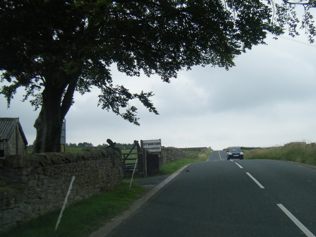
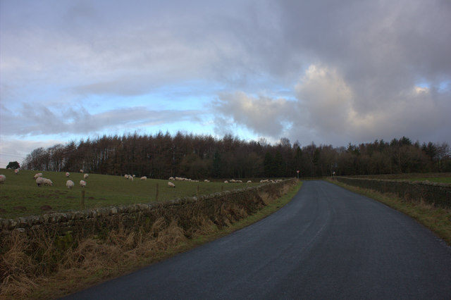
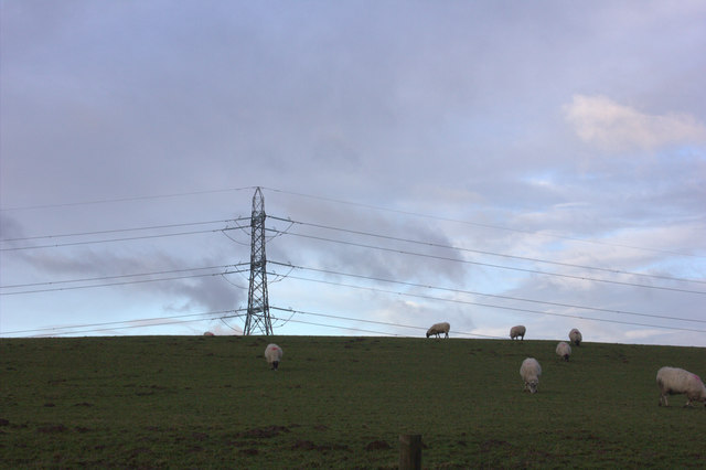
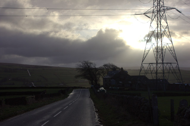
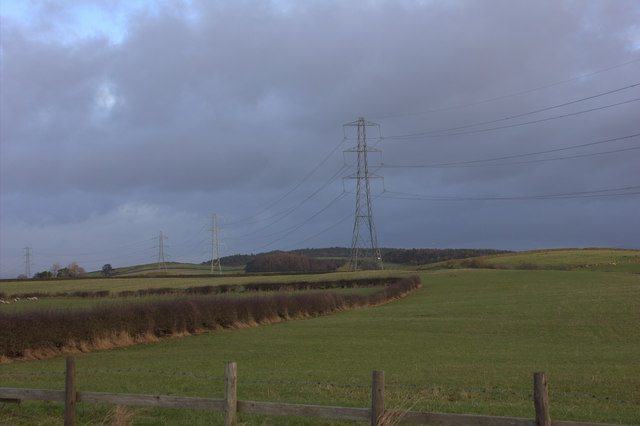
Golgotha is a small village located in the county of Lancashire, England. Situated in the southern part of the county, it is nestled within the picturesque West Pennine Moors, offering stunning views of the surrounding countryside. With a population of around 500 residents, Golgotha is known for its tight-knit community and peaceful atmosphere.

The village's name, derived from the biblical term for the place of Jesus Christ's crucifixion, reflects its historical significance. Golgotha has a rich history, dating back to medieval times when it was primarily an agricultural settlement. Today, remnants of this past can still be seen in the form of old stone cottages and farm buildings.

Despite its small size, Golgotha boasts a few amenities for its residents and visitors. There is a local pub, The Cross and Crown, which serves as a gathering place for locals and offers traditional British pub food and ales. Additionally, there is a small village hall that hosts community events, such as fairs and social gatherings.

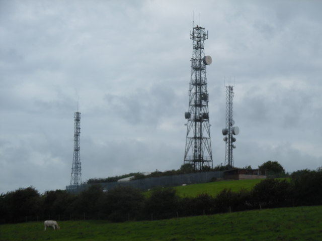
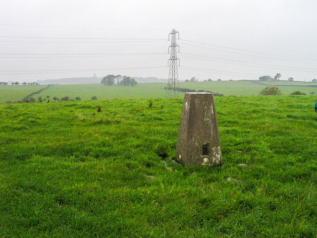
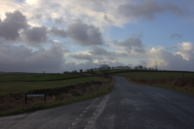
Golgotha's location within the West Pennine Moors makes it an ideal destination for outdoor enthusiasts. The surrounding moorland offers ample opportunities for hiking, cycling, and birdwatching. The nearby reservoirs, such as Entwistle and Wayoh, provide opportunities for fishing and water sports.

Overall, Golgotha is a charming village that combines its historical roots with the natural beauty of the West Pennine Moors. Its tranquil setting and sense of community make it an appealing destination for both residents and visitors seeking a peaceful retreat away from the hustle and bustle of larger towns and cities.

If you have any feedback on the listing, please let us know in the comments section below.
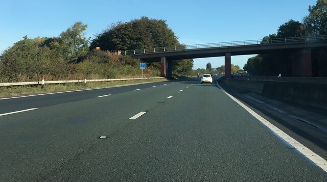
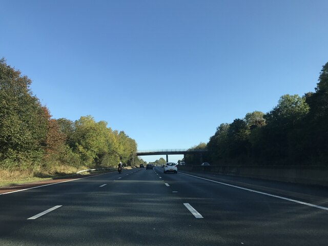
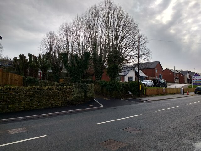
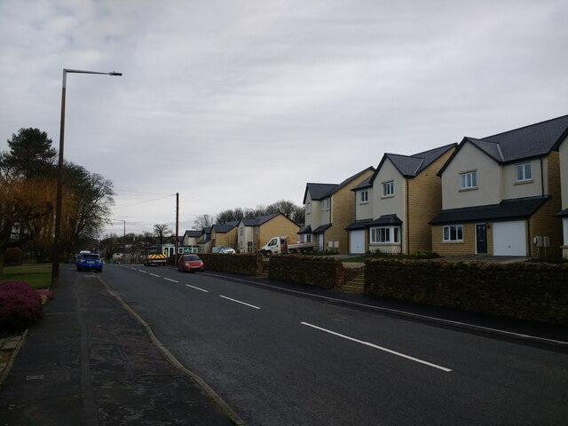
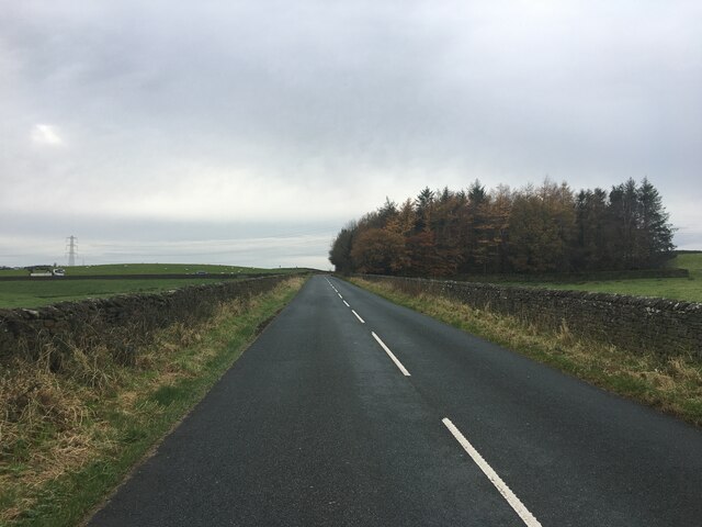
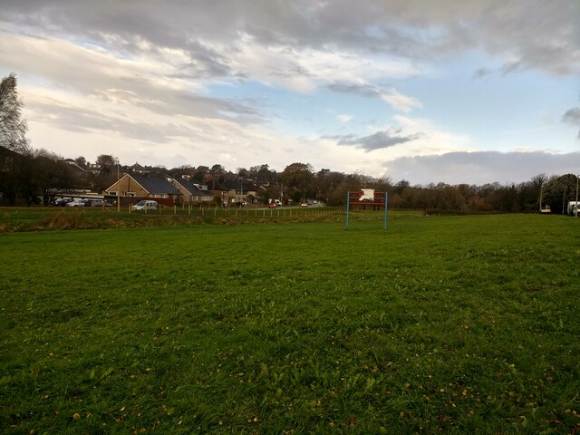
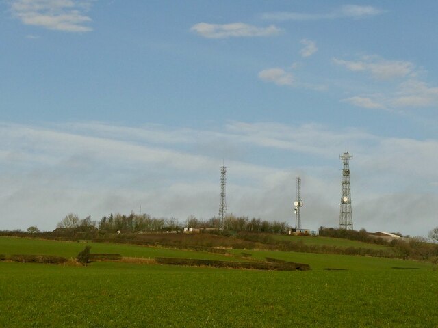
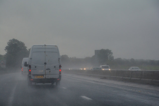
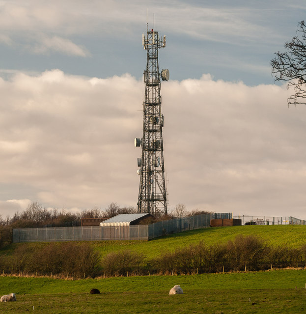
Golgotha Images

Images are sourced within 2km of 54.042316/-2.7835714 or Grid Reference SD4860. Thanks to Geograph Open Source API. All images are credited.

Blea Tarn Road - M6 northbound
Footbridge -- M6 northbound
New houses and revamped driveway to Hala Carr Farm
New houses at The Paddocks
The Boot & Shoe, Scotforth
Road near Recess Plantation
New flood defences finished and fenced off on Burrow Beck
Masts, Langthwaite
Masts, Langthwaite
Langthwaite Road at Ivy Bank
Three Radio Masts at Langthwaite Taken from the Langthwaite Road, this photo shows three radio masts at Langthwaite with their aerials and microwave dishes fixed on them for radio communication. The mast in the middle has a red aircraft warning light at its top so that it can be seen for miles around at night.
Three Radio Masts at Langthwaite
Taken from the Langthwaite Road, this photo shows three radio masts at Langthwaite with their aerials and microwave dishes fixed on them for radio communication. The mast in the middle has a red aircraft warning light at its top so that it can be seen for miles around at night.
Trig point of West View The trig point known to the OS as West View lies in a field to the west of Little Fell Road.
Trig point of West View
The trig point known to the OS as West View lies in a field to the west of Little Fell Road.
Stock A Bank at Little Fell Road
Recess Plantation from Little Fell Road
Sheep and power lines off Little Fell Road
Langthwaite Farm
Langthwaite Farm
View north from Langthwaite Road
Quernmore : M6 Motorway The M6 Motorway between Junction 34 and Junction 33.
Quernmore : M6 Motorway
The M6 Motorway between Junction 34 and Junction 33.
Langthwaite One of the communications masts at Langthwaite.
Langthwaite
One of the communications masts at Langthwaite.
Show me another place!

Golgotha is located at Grid Ref: SD4860 (Lat: 54.042316, Lng: -2.7835714)

Administrative County: Lancashire

District: Lancaster

Police Authority: Lancashire

What 3 Words

///blatantly.tilt.give. Near Lancaster, Lancashire

Related Wikis

Bowerham Barracks

Bowerham Barracks was a military installation in Lancaster. == History == The barracks were built in the Fortress Gothic Revival Style between 1876 and...

Ashton Memorial

The Ashton Memorial is a folly in Williamson Park, Lancaster, Lancashire, England built between 1907 and 1909 by the millionaire industrialist Lord Ashton...

Beyond Radio

Beyond Radio is a local radio station based in Lancaster, Lancashire, England. The parent company (Proper Community Media (Lancaster) Ltd.) was awarded...

Christ Church, Lancaster

Christ Church is in Wyresdale Road, Lancaster, Lancashire, England. It is an active Anglican parish church in the deanery of Lancaster and Morecambe, the...

Nearby Amenities

Located within 500m of 54.042316,-2.7835714
Barrier: bollard
Bicycle: yes
Bollard: fixed
Foot: designated
Material: wood
Motor Vehicle: no
Lat/Long: 54.043036/-2.7842487
Traffic Calming: hump
Lat/Long: 54.0460174/-2.7804272
Barrier: swing_gate
Lat/Long: 54.0436468/-2.7844535
Post Box
Check Date Collection Times: 2023-05-22
Collection Times: Mo-Fr 09:00; Sa 07:00
Post Box Type: pillar
Ref: LA1 85
Royal Cypher: EVIIR
Royal Cypher Wikidata: Q33102324
Lat/Long: 54.0390021/-2.7867471
Observatory
Historic: ruins
Lat/Long: 54.044731/-2.7838466
Barrier: lift_gate
Foot: yes
Motor Vehicle: private
Lat/Long: 54.04264/-2.7824726
Fountain
Lat/Long: 54.0440132/-2.7829679
Place Of Worship
University Chapel
Source: OS_OpenData_StreetView
Lat/Long: 54.0402449/-2.7877396
Bus Stop
Ayr Street
Bench: no
Bin: no
Bus: yes
Lit: yes
Naptan AtcoCode: 2500IMG1274
Naptan Bearing: NE
Naptan CommonName: Ayr Street
Naptan Indicator: by
Naptan Landmark: Ayr Street
Naptan LocalityCode: E0015965
Naptan NaptanCode: landptga
Naptan Street: Ayr Street
Naptan Verified: yes
Public Transport: platform
Ref: landptga
Shelter: no
Tactile Paving: no
Lat/Long: 54.0454816/-2.7876933
Turning Circle
Source: Bing
Lat/Long: 54.0438568/-2.7876677
Turning Circle
Source: Bing
Lat/Long: 54.0438005/-2.7874096
Turning Circle
Lat/Long: 54.0433546/-2.7867241
Give Way
Direction: forward
Lat/Long: 54.0421972/-2.783356
Barrier: bollard
Bicycle: yes
Bollard: removable
Foot: yes
Lat/Long: 54.0418951/-2.7898943
Bus Stop
Cork Road
Bench: yes
Bin: yes
Bus: yes
Lit: yes
Naptan AtcoCode: 250020107
Naptan Bearing: NE
Naptan CommonName: Cork Road
Naptan Indicator: opp
Naptan LocalityCode: E0015942
Naptan NaptanCode: lanatpgw
Naptan Street: Coulston Road
Public Transport: platform
Ref: lanatpgw
Shelter: no
Tactile Paving: no
Lat/Long: 54.0390991/-2.7865037
Bus Stop
Anderson Close
Bench: no
Bin: no
Bus: yes
Lit: yes
Naptan AtcoCode: 2500LAA07493
Naptan Bearing: NE
Naptan BusStopType: MKD
Naptan CommonName: Anderson Close
Naptan Indicator: by
Naptan Landmark: Anderson Close
Naptan LocalityCode: E0015942
Naptan NaptanCode: lanjpgta
Naptan Street: Coulston Road
Naptan Verified: yes
Public Transport: platform
Ref: lanjpgta
Shelter: no
Tactile Paving: no
Lat/Long: 54.0415804/-2.7836491
Turning Circle
Lat/Long: 54.0449516/-2.7874109
Toilets
Description: Closed during winter
Fee: no
Wheelchair: yes
Lat/Long: 54.0428643/-2.7832919
Toilets
Changing Table: yes
Fee: no
Wheelchair: yes
Lat/Long: 54.0455741/-2.7809053
Turning Circle
Source: Bing
Lat/Long: 54.0414262/-2.7855993
Williamson Park
Ele: 109
Natural: peak
Lat/Long: 54.0456748/-2.7805593
Noexit: yes
Lat/Long: 54.0458715/-2.7863218
Noexit: yes
Lat/Long: 54.0421344/-2.7850599
Crossing
Crossing: unmarked
Tactile Paving: no
Lat/Long: 54.0422848/-2.7832612
Post Box
Collection Times: Mo-Fr 09:00; Sa 07:00
Post Box Type: pillar
Ref: LA1 224D
Royal Cypher: EIIR
Royal Cypher Wikidata: Q33102113
Lat/Long: 54.0407335/-2.7880199
Addr City: Lancaster
Addr Housenumber: 65
Addr Postcode: LA1 3AD
Addr Street: Coulston Road
Check Date: 2023-05-22
Shop: vacant
Lat/Long: 54.0388769/-2.7870811
Covered: no
Leisure: picnic_table
Lat/Long: 54.0398971/-2.780727
Covered: no
Leisure: picnic_table
Lat/Long: 54.0398848/-2.780636
Covered: no
Leisure: picnic_table
Lat/Long: 54.0399547/-2.7807025
Covered: no
Leisure: picnic_table
Lat/Long: 54.0399505/-2.780608
Barrier: swing_gate
Bicycle: yes
Foot: yes
Motor Vehicle: private
Wheelchair: yes
Lat/Long: 54.0457851/-2.7811247
Restaurant
Auction Mart Restaurant
Addr City: Lancaster
Addr Postcode: LA1 3JQ
Addr Street: Wyresdale Road
Fhrs Id: 146054
Fixme: check position
Lat/Long: 54.0413236/-2.7817787
Entrance: main
Lat/Long: 54.0459138/-2.7867768
Entrance: yes
Lat/Long: 54.0456024/-2.7866176
Entrance: main
Lat/Long: 54.0455841/-2.7865231
Entrance: emergency
Lat/Long: 54.0458807/-2.7865912
Entrance: main
Lat/Long: 54.0460915/-2.7866519
Entrance: main
Lat/Long: 54.0462218/-2.7868926
Entrance: yes
Lat/Long: 54.0461018/-2.7866988
Entrance: yes
Lat/Long: 54.0462724/-2.7868751
Entrance: yes
Lat/Long: 54.04642/-2.7865622
Bus Stop
Leisure Park
Bench: no
Bus: yes
Naptan AtcoCode: 2500IMG1244
Naptan Bearing: SE
Naptan CommonName: Leisure Park
Naptan Indicator: opp
Naptan LocalityCode: E0015942
Naptan NaptanCode: landpmpw
Naptan Street: Wyresdale Road
Public Transport: platform
Ref: landpmpw
Shelter: no
Tactile Paving: no
Lat/Long: 54.0422349/-2.7797521
Bus Stop
Leisure Park
Bench: no
Bus: yes
Naptan AtcoCode: 2500DCL3056
Naptan Bearing: NW
Naptan CommonName: Leisure Park
Naptan Indicator: by
Naptan LocalityCode: E0015942
Naptan NaptanCode: landgmam
Naptan Street: Wyresdale Road
Public Transport: platform
Ref: landgmam
Shelter: no
Tactile Paving: no
Lat/Long: 54.041997/-2.7793047
Bus Stop
Cork Road
Bench: no
Bin: no
Bus: yes
Lit: yes
Naptan AtcoCode: 2500LAA07492
Naptan Bearing: SW
Naptan CommonName: Cork Road
Naptan Indicator: by
Naptan LocalityCode: E0015942
Naptan NaptanCode: lanjpgpw
Naptan Street: Coulston Road
Public Transport: platform
Ref: lanjpgpw
Shelter: no
Tactile Paving: no
Lat/Long: 54.038928/-2.7865463
Bus Stop
Anderson Close
Bench: no
Bin: no
Bus: yes
Lit: yes
Naptan AtcoCode: 2500DCL3054
Naptan Bearing: SW
Naptan BusStopType: MKD
Naptan CommonName: Anderson Close
Naptan Indicator: opp
Naptan Landmark: Anderson Close
Naptan LocalityCode: E0015942
Naptan NaptanCode: landgmag
Naptan Street: Coulston Road
Naptan Verified: yes
Public Transport: platform
Ref: landgmag
Shelter: no
Tactile Paving: no
Lat/Long: 54.0411573/-2.7837481
Bus Stop
St Martins Road
Bench: yes
Bin: no
Bus: yes
Lit: yes
Naptan AtcoCode: 2500893
Naptan Bearing: S
Naptan CommonName: St Martins Road
Naptan Indicator: by
Naptan LocalityCode: N0078715
Naptan NaptanCode: landagmp
Naptan Street: St Martins Road
Public Transport: platform
Ref: landagmp
Shelter: no
Tactile Paving: no
Lat/Long: 54.0426308/-2.7894567
Bus Stop
Williamson Park Gates
Bench: no
Bin: no
Bus: yes
Lit: yes
Naptan AtcoCode: 2500919
Naptan Bearing: SE
Naptan CommonName: Williamson Park Gates
Naptan Indicator: by
Naptan LocalityCode: E0015965
Naptan NaptanCode: landagwt
Naptan Street: Wyresdale Road
Public Transport: platform
Ref: landagwt
Shelter: no
Tactile Paving: no
Lat/Long: 54.0434366/-2.7850303
Bus Stop
Ayr Street
Bench: no
Bin: no
Bus: yes
Lit: yes
Naptan AtcoCode: 2500DCL3085
Naptan Bearing: SW
Naptan CommonName: Ayr Street
Naptan Indicator: adj
Naptan Landmark: Ayr Street
Naptan LocalityCode: E0015965
Naptan NaptanCode: landgmpm
Naptan Street: Ayr Street
Naptan Verified: yes
Public Transport: platform
Ref: landgmpm
Shelter: no
Tactile Paving: no
Lat/Long: 54.0454363/-2.7876296
Bus Stop
Williamson Park Gates
Bench: yes
Bin: no
Bus: yes
Lit: yes
Naptan AtcoCode: 2500LAA07494
Naptan Bearing: NW
Naptan CommonName: Williamson Park
Naptan Indicator: opp
Naptan NaptanCode: lanjpgtd
Naptan PlusbusZoneRef: LANCSTR
Naptan Street: Wyresdale Road
Public Transport: platform
Shelter: yes
Tactile Paving: no
Lat/Long: 54.0434134/-2.7852084
St Martin's Road
Bus: yes
Public Transport: stop_position
Lat/Long: 54.042637/-2.7895232
Leisure Park
Bus: yes
Public Transport: stop_position
Lat/Long: 54.0421977/-2.7797742
Williamson Park Gates
Bus: yes
Public Transport: stop_position
Lat/Long: 54.0434082/-2.7851182
Ayr Street
Bus: yes
Public Transport: stop_position
Lat/Long: 54.045461/-2.787652
Waste Basket
Lat/Long: 54.0460379/-2.7801806
Waste Basket
Lat/Long: 54.0456107/-2.7820182
Bicycle Parking
Bicycle Parking: stands
Capacity: 6
Covered: no
Lat/Long: 54.0406237/-2.7875557
Give Way
Direction: forward
Lat/Long: 54.0389346/-2.7868314
Give Way
Direction: backward
Lat/Long: 54.0388707/-2.7867597
Waste Basket
Lat/Long: 54.0388933/-2.7869786
Ice Cream
Williamson Park Ice Cream Van
Addr City: Lancaster
Addr Postcode: LA1 3DY
Addr Street: Wyresdale Road
Building: no
Fhrs Id: 117794
Opening Hours: May-Aug
Outdoor Seating: yes
Lat/Long: 54.0455248/-2.7810959
Entrance: yes
Lat/Long: 54.0458411/-2.7881091
Give Way
Direction: forward
Lat/Long: 54.0455132/-2.7875323
Barrier: entrance
Lat/Long: 54.0451794/-2.7876509
Barrier: entrance
Lat/Long: 54.0452877/-2.7872996
Barrier: entrance
Lat/Long: 54.0451462/-2.7883678
Waste Basket
Lat/Long: 54.0449527/-2.7877599
Give Way
Direction: backward
Lat/Long: 54.0384743/-2.7862577
Grit Bin
Lat/Long: 54.0384284/-2.7861964
Bench
Backrest: yes
Material: metal
Seats: 2
Lat/Long: 54.0390167/-2.7867185
Give Way
Direction: forward
Lat/Long: 54.0383262/-2.785856
Give Way
Direction: forward
Lat/Long: 54.0381253/-2.7856839
Waste Basket
Lat/Long: 54.0390369/-2.7866902
Waste Basket
Lat/Long: 54.0389974/-2.7868545
Waste Basket
Lat/Long: 54.0410805/-2.7840333
Give Way
Direction: forward
Lat/Long: 54.0409766/-2.7840253
Give Way
Direction: forward
Lat/Long: 54.0418349/-2.7835081
Give Way
Direction: backward
Lat/Long: 54.0423952/-2.7835709
Barrier: kerb
Kerb: lowered
Tactile Paving: no
Lat/Long: 54.042271/-2.7832387
Crossing
Crossing: unmarked
Crossing Island: no
Tactile Paving: no
Lat/Long: 54.0424189/-2.7834647
Generator Method: photovoltaic
Generator Orientation: south
Generator Output Electricity: yes
Generator Solar Modules: 14
Generator Source: solar
Generator Type: solar_photovoltaic_panel
Location: roof
Power: generator
Lat/Long: 54.0405487/-2.7766049
Generator Method: photovoltaic
Generator Orientation: west
Generator Output Electricity: yes
Generator Solar Modules: 14
Generator Source: solar
Generator Type: solar_photovoltaic_panel
Location: roof
Power: generator
Lat/Long: 54.0441952/-2.7875519
Generator Method: photovoltaic
Generator Orientation: west
Generator Output Electricity: yes
Generator Solar Modules: 5
Generator Source: solar
Generator Type: solar_photovoltaic_panel
Location: roof
Power: generator
Lat/Long: 54.0435963/-2.7869334
Generator Method: photovoltaic
Generator Orientation: south
Generator Output Electricity: yes
Generator Solar Modules: 5
Generator Source: solar
Generator Type: solar_photovoltaic_panel
Location: roof
Power: generator
Lat/Long: 54.0435674/-2.7869006
Generator Method: photovoltaic
Generator Orientation: east
Generator Output Electricity: yes
Generator Solar Modules: 16
Generator Source: solar
Generator Type: solar_photovoltaic_panel
Location: roof
Power: generator
Lat/Long: 54.0420523/-2.7836798
Bicycle Parking
Access: yes
Bicycle Parking: stands
Capacity: 8
Covered: no
Fee: no
Lat/Long: 54.0455063/-2.7811719
Give Way
Direction: forward
Lat/Long: 54.044389/-2.7860748
Give Way
Direction: backward
Lat/Long: 54.0449633/-2.7867889
Drinking Water
Bottle: yes
Fountain: bottle_refill;bubbler
Indoor: no
Wheelchair: yes
Lat/Long: 54.0456444/-2.7809852
Traffic Calming: hump
Lat/Long: 54.0462318/-2.780039
Barrier: entrance
Lat/Long: 54.0427858/-2.7844879
Entrance: yes
Lat/Long: 54.0423824/-2.7848267
Generator Method: photovoltaic
Generator Orientation: south_east
Generator Output Electricity: yes
Generator Solar Modules: 8
Generator Source: solar
Generator Type: solar_photovoltaic_panel
Location: roof
Power: generator
Lat/Long: 54.0424445/-2.7855973
Generator Method: photovoltaic
Generator Orientation: south_west
Generator Output Electricity: yes
Generator Solar Modules: 20
Generator Source: solar
Generator Type: solar_photovoltaic_panel
Location: roof
Power: generator
Lat/Long: 54.0425366/-2.7843976
Bench
Backrest: no
Material: wood
Seats: 6
Lat/Long: 54.0449059/-2.7879335
Bench
Backrest: no
Material: wood
Seats: 2
Lat/Long: 54.044211/-2.7899544
Waste Basket
Lat/Long: 54.043599/-2.789248
Williamson Park Gates
Bus: yes
Public Transport: stop_position
Lat/Long: 54.0434451/-2.7851685
Defibrillator
Defibrillator Location: On outside wall to left of Pavilion Cafe entrance
Description: Call 999 for access code
Emergency: defibrillator
Indoor: no
Lat/Long: 54.045676/-2.7809781
Entrance: yes
Lat/Long: 54.0456584/-2.7809812
Entrance: yes
Lat/Long: 54.045615/-2.7809789
Entrance: yes
Lat/Long: 54.0455739/-2.7809768
Entrance: yes
Lat/Long: 54.0455334/-2.7809747
Waste Basket
Lat/Long: 54.0455667/-2.7810117
Give Way
Direction: forward
Lat/Long: 54.0419807/-2.7878545
Leisure Park
Bus: yes
Public Transport: stop_position
Lat/Long: 54.0420559/-2.779277
Noexit: yes
Lat/Long: 54.0440678/-2.7821818
Man Made: street_cabinet
Lat/Long: 54.0449326/-2.7896341
Man Made: street_cabinet
Lat/Long: 54.0448085/-2.7890163
Man Made: street_cabinet
Lat/Long: 54.0454098/-2.7887307
Traffic Calming: bump
Lat/Long: 54.0402911/-2.7882166
Atm
Barclays
Brand: Barclays
Brand Wikidata: Q245343
Brand Wikipedia: en:Barclays
Cash In: no
Fee: no
Operator: Barclays
Operator Wikidata: Q245343
Lat/Long: 54.0403697/-2.7883551
Recycling
Recycling Cans: yes
Recycling Type: container
Lat/Long: 54.0404222/-2.7882156
Recycling
Recycling Plastic: yes
Recycling Type: container
Lat/Long: 54.0404166/-2.7882258
Recycling
Recycling Paper: yes
Recycling Type: container
Lat/Long: 54.0404094/-2.788238
Board Type: notice
Information: board
Tourism: information
Lat/Long: 54.040525/-2.7882191
Board Type: notice
Information: board
Tourism: information
Lat/Long: 54.0403891/-2.787957
Covered: no
Leisure: picnic_table
Lat/Long: 54.0407148/-2.7883564
Covered: no
Leisure: picnic_table
Lat/Long: 54.0407134/-2.7883237
Waste Basket
Lat/Long: 54.0406911/-2.7883424
Entrance: main
Lat/Long: 54.0405469/-2.7883293
Barrier: bollard
Bollard: fixed
Lat/Long: 54.0406055/-2.7882353
Barrier: bollard
Bollard: fixed
Lat/Long: 54.0408332/-2.7883423
Drinking Water: no
Man Made: water_well
Lat/Long: 54.039446/-2.7824069
Bicycle Parking
Access: customers
Bicycle Parking: stands
Capacity: 6
Covered: no
Operator: Lancaster Brewery
Lat/Long: 54.0395933/-2.7813207
Information: map
Map Type: tactile_model
Tourism: information
Lat/Long: 54.0396133/-2.781542
Waste Basket
Waste: dog_excrement
Lat/Long: 54.0396678/-2.7815064
Board Type: notice
Information: board
Tourism: information
Lat/Long: 54.039419/-2.7821472
Bench
Backrest: no
Lat/Long: 54.0394238/-2.7821881
Bench
Backrest: no
Lat/Long: 54.0394629/-2.7823994
Bench
Lat/Long: 54.0393416/-2.7837428
Bench
Backrest: yes
Lat/Long: 54.0390757/-2.7828704
Bench
Backrest: yes
Lat/Long: 54.0392452/-2.7827718
Bench
Backrest: yes
Lat/Long: 54.0395817/-2.7832349
Covered: yes
Leisure: picnic_table
Lat/Long: 54.0392534/-2.7828713
Alchemy Hair
Check Date Opening Hours: 2023-12-17
Female Signed: no
Male Signed: no
Opening Hours Signed: no
Shop: hairdresser
Lat/Long: 54.040178/-2.7805803
Bicycle Parking
Access: customers
Bicycle Parking: wall_loops
Capacity: 4
Covered: no
Operator: GB Antiques Centre
Lat/Long: 54.0405436/-2.7804768
Bicycle Parking
Access: customers
Bicycle Parking: wall_loops
Capacity: 6
Covered: yes
Operator: Giggles
Lat/Long: 54.040054/-2.7819734
Bicycle Parking
Access: private
Bicycle Parking: stands
Capacity: 8
Covered: no
Operator: City of Lancaster Gymnastics Club
Lat/Long: 54.0399164/-2.7820706
Waste Basket
Waste: dog_excrement
Lat/Long: 54.0407386/-2.7800987
Man Made: storage_tank
Lat/Long: 54.0395804/-2.7812664
Man Made: storage_tank
Lat/Long: 54.0395607/-2.7812187
Generator Method: photovoltaic
Generator Orientation: south_east
Generator Output Electricity: yes
Generator Solar Modules: 6
Generator Source: solar
Generator Type: solar_photovoltaic_panel
Location: roof
Power: generator
Lat/Long: 54.0378541/-2.7842542
Generator Method: photovoltaic
Generator Orientation: south_west
Generator Output Electricity: yes
Generator Solar Modules: 6
Generator Source: solar
Generator Type: solar_photovoltaic_panel
Location: roof
Power: generator
Lat/Long: 54.0378485/-2.7843235
The Coppiced Woodland
Board Type: nature
Information: board
Tourism: information
Lat/Long: 54.0447046/-2.7859924
Information: guidepost
Tourism: information
Lat/Long: 54.0447081/-2.7829864
Covered: no
Leisure: picnic_table
Lat/Long: 54.0451579/-2.7832016
Covered: no
Leisure: picnic_table
Lat/Long: 54.0455296/-2.7831535
Covered: no
Leisure: picnic_table
Lat/Long: 54.0454753/-2.7831581
Covered: no
Leisure: picnic_table
Lat/Long: 54.0454192/-2.7831612
Bench
Backrest: yes
Lat/Long: 54.0454616/-2.7830251
Bench
Backrest: yes
Lat/Long: 54.0454962/-2.7830322
Bench
Backrest: yes
Lat/Long: 54.0455367/-2.7830404
Bench
Backrest: yes
Lat/Long: 54.0455702/-2.7830495
Waste Basket
Lat/Long: 54.0456245/-2.7830587
Information: guidepost
Tourism: information
Lat/Long: 54.0457063/-2.7829324
Waste Basket
Lat/Long: 54.0457893/-2.7830319
Bench
Backrest: yes
Lat/Long: 54.0458315/-2.7821091
Bench
Backrest: yes
Lat/Long: 54.0458119/-2.7821098
Bench
Backrest: yes
Lat/Long: 54.0457965/-2.7821078
Bench
Backrest: yes
Lat/Long: 54.0457764/-2.7821031
Bench
Backrest: yes
Lat/Long: 54.0457469/-2.7820937
Bench
Backrest: yes
Lat/Long: 54.0457185/-2.782079
Bench
Backrest: yes
Lat/Long: 54.0456949/-2.7820696
Bench
Backrest: yes
Lat/Long: 54.0456713/-2.7820589
Bench
Backrest: yes
Lat/Long: 54.0456508/-2.7820515
Bench
Backrest: yes
Lat/Long: 54.0456298/-2.7820406
Bench
Backrest: yes
Lat/Long: 54.0458525/-2.7821083
Bench
Backrest: yes
Lat/Long: 54.0458748/-2.7820894
Answer: START
Marker: post
Orienteering: marker
Ref: START
Sport: orienteering
Lat/Long: 54.0455848/-2.7813136
Information: guidepost
Tourism: information
Lat/Long: 54.0455016/-2.7812154
Information: map
Tourism: information
Lat/Long: 54.0454966/-2.7812565
Charging Station
Access: private
Brand: Pod Point
Brand Wikidata: Q42888154
Capacity: 1
Operator: Pod Point
Operator Wikidata: Q42888154
Owner: Lancaster City Council
Socket Type2: 1
Lat/Long: 54.0452968/-2.7810255
Bicycle Parking
Access: yes
Bicycle Parking: stands
Capacity: 16
Covered: no
Fee: no
Lat/Long: 54.0463001/-2.7811898
Vending Machine
Payment Coins: yes
Payment Contactless: yes
Payment Credit Cards: yes
Payment Debit Cards: yes
Vending: parking_tickets
Lat/Long: 54.0459825/-2.7810051
Waste Basket
Lat/Long: 54.0459963/-2.781018
Board Type: notice
Information: board
Tourism: information
Lat/Long: 54.0458819/-2.7880297
Information: map
Tourism: information
Lat/Long: 54.0430816/-2.7842449
Charging Station
Access: yes
Authentication App: yes
Brand: EO
Capacity: 1
Description: The electricity is free, but a connection fee and a parking fee are required
Fee: yes
Motorcar: yes
Network: Charge My Street
Operator: Lancaster City Council
Payment App: yes
Ref: EG-04746
Socket Type2: 1
Socket Type2 Output: 22kW
Lat/Long: 54.0428222/-2.7838373
Man Made: street_cabinet
Street Cabinet: power
Lat/Long: 54.0428056/-2.7838531
Bicycle Parking
Bicycle Parking: stands
Capacity: 16
Covered: no
Lat/Long: 54.0428168/-2.7831577
Vending Machine
Vending: parking_tickets
Lat/Long: 54.0426958/-2.783271
Waterway: waterfall
Lat/Long: 54.0440447/-2.7821359
Generator Method: photovoltaic
Generator Orientation: south_east
Generator Output Electricity: yes
Generator Solar Modules: 14
Generator Source: solar
Generator Type: solar_photovoltaic_panel
Location: roof
Power: generator
Lat/Long: 54.043693/-2.7793092
Bench
Backrest: yes
Lat/Long: 54.0421311/-2.7895775
Bench
Backrest: yes
Lat/Long: 54.0419337/-2.7897234
Bench
Backrest: yes
Lat/Long: 54.0426192/-2.7894532
Waste Basket
Lat/Long: 54.042937/-2.7862402
Waste Basket
Lat/Long: 54.0427007/-2.786352
Bench
Backrest: no
Lat/Long: 54.0427276/-2.7864211
Bench
Backrest: no
Lat/Long: 54.0426715/-2.7862585
Boot Scraper
Lat/Long: 54.042653/-2.786293
Vending Machine
Vending: parking_tickets
Lat/Long: 54.0427502/-2.7862453
Information: map
Map Size: campus
Map Type: yes
Tourism: information
Lat/Long: 54.0429645/-2.7862077
Bicycle Parking
Bicycle Parking: stands
Capacity: 14
Covered: yes
Lat/Long: 54.042866/-2.7863266
Vending Machine
Vending: parking_tickets
Lat/Long: 54.041802/-2.7875977
Information: guidepost
Tourism: information
Lat/Long: 54.0418442/-2.7898915
Information: guidepost
Tourism: information
Lat/Long: 54.0411585/-2.7890801
Vending Machine
Vending: parking_tickets
Lat/Long: 54.0412217/-2.7883124
Barrier: swing_gate
Lat/Long: 54.0428164/-2.7839491
Waste Basket
Lat/Long: 54.0428811/-2.7835922
Bench
Backrest: yes
Lat/Long: 54.0427486/-2.7838214
Waste Basket
Lat/Long: 54.0442662/-2.781657
Answer: P
Marker: post
Orienteering: marker
Ref: 25
Sport: orienteering
Lat/Long: 54.0442366/-2.7811142
Waste Basket
Lat/Long: 54.0450643/-2.7810183
Covered: no
Leisure: picnic_table
Lat/Long: 54.0450459/-2.7809586
Covered: no
Leisure: picnic_table
Lat/Long: 54.0449627/-2.7809863
Covered: no
Leisure: picnic_table
Lat/Long: 54.0449003/-2.781031
Bench
Backrest: yes
Lat/Long: 54.045437/-2.7815301
Bench
Backrest: yes
Lat/Long: 54.0454267/-2.7815261
Covered: no
Leisure: picnic_table
Lat/Long: 54.0454236/-2.7816235
Covered: no
Leisure: picnic_table
Lat/Long: 54.0454431/-2.7814373
Board Type: nature
Information: board
Tourism: information
Lat/Long: 54.0459363/-2.7800066
Charging Station
Access: yes
Authentication App: yes
Brand: EO
Capacity: 1
Description: The electricity is free, but a connection fee and a parking fee are required
Fee: yes
Motorcar: yes
Network: Charge My Street
Operator: Lancaster City Council
Payment App: yes
Ref: EG-04801
Socket Type2: 1
Socket Type2 Output: 22kW
Lat/Long: 54.0428211/-2.7838316
Clock
The Lancaster Sundial
Description: Originally the site of a copper-domed oak Bandstand, built in 1907 but now transformed into the Lancaster Sundial. The observer becomes the gnomon, standing on the centre of the plinth and telling the time by casting their own shadow on a series of bronze
Display: sundial
Source: survey
Support: ground
Lat/Long: 54.0461861/-2.781714
Waste Basket
Lat/Long: 54.0434276/-2.7893641
Bench
Backrest: yes
Lat/Long: 54.0433712/-2.7892651
Taxi
Lat/Long: 54.0423126/-2.7895582
Bicycle Parking
Bicycle Parking: stands
Capacity: 12
Covered: no
Lat/Long: 54.04122/-2.7866278
Bicycle Parking
Bicycle Parking: stands
Capacity: 12
Covered: yes
Lat/Long: 54.0412677/-2.7858392
Cafe
Café Martineau
Addr City: Lancaster
Addr Housename: Alexandra Building
Addr Place: University of Cumbria
Addr Postcode: LA1 3JD
Addr Street: Bowerham Road
Fhrs Id: 107130
Lat/Long: 54.041349/-2.7863903
Information: board
Tourism: information
Lat/Long: 54.0410609/-2.7871442
Bench
Lat/Long: 54.0412645/-2.7871799
Bench
Lat/Long: 54.0412287/-2.7871878
Bench
Lat/Long: 54.0411897/-2.7871347
Bench
Lat/Long: 54.0411778/-2.7871179
Bench
Lat/Long: 54.0411648/-2.7870878
Bench
Lat/Long: 54.0411643/-2.7869082
Bench
Lat/Long: 54.04121/-2.7869286
Recycling
Operator: Scope
Recycling Clothes: yes
Recycling Shoes: yes
Recycling Type: container
Lat/Long: 54.040158/-2.7865567
Recycling
Recycling Plastic: yes
Recycling Type: container
Lat/Long: 54.040177/-2.7865989
Recycling
Recycling Cans: yes
Recycling Type: container
Lat/Long: 54.0401671/-2.7865812
Recycling
Recycling Paper: yes
Recycling Type: container
Lat/Long: 54.0401721/-2.78659
Barrier: bollard
Bicycle: yes
Bollard: fixed
Foot: designated
Material: wood
Motor Vehicle: no
Lat/Long: 54.0431446/-2.7845757
Friends of Williamson Park
Board Type: notice
Information: board
Tourism: information
Lat/Long: 54.0460126/-2.7801138
Life Ring
Emergency: life_ring
Lat/Long: 54.0437311/-2.7830849
Cafe
Pavilion Cafe
Addr City: Lancaster
Addr Postcode: LA1 3DY
Addr Street: Wyresdale Road
Check Date Opening Hours: 2022-10-29
Diet Gluten Free: yes
Diet Vegan: yes
Diet Vegetarian: yes
Fhrs Id: 93191
Internet Access: wlan
Internet Access Fee: yes
Opening Hours Signed: no
Outdoor Seating: yes
Website: https://www.lancaster.gov.uk/sites/williamson-park/the-pavilion-caf
Lat/Long: 54.0456437/-2.7808972
Williamson Park Gift Shop
Shop: gift
Lat/Long: 54.0455333/-2.7809011
Bench
Backrest: yes
Lat/Long: 54.0439548/-2.7834805
Bench
Backrest: yes
Lat/Long: 54.0439947/-2.7833768
Bench
Backrest: yes
Lat/Long: 54.0441008/-2.783257
Leisure: picnic_table
Material: wood
Lat/Long: 54.0448788/-2.7830692
Barrier: bollard
Bollard: removable
Material: metal
Lat/Long: 54.0452893/-2.7872963
Bench
Backrest: no
Material: stone
Lat/Long: 54.0441973/-2.7888051
Bench
Backrest: no
Material: stone
Lat/Long: 54.0444706/-2.7884128
Check Date: 2023-11-20
Xmas Day Date: 2023-11-24 - 2023-11-26
Xmas Feature: market
Xmas Name: Lancaster Christmas Market
Xmas Url: https://www.facebook.com/events/173229309157109
Lat/Long: 54.0393848/-2.7813761
Greenfingers
Payment Cash: yes
Payment Credit Cards: no
Payment Debit Cards: no
Website: http://greenfingerschristmastrees.co.uk/
Xmas Feature: shop
Xmas Feature Shop: christmas_tree
Lat/Long: 54.0403764/-2.7807769
Charging Station
Authentication Membership Card: yes
Brand: BP Pulse
Brand Wikidata: Q39057719
Capacity: 2
Motorcar: yes
Operator: BP Pulse
Operator Wikidata: Q39057719
Ref: 14372
Socket Type2: 2
Socket Type2 Current: 32A
Socket Type2 Output: 22kW
Lat/Long: 54.0405801/-2.7804149
Lancaster Tyres
Addr City: Lancaster
Addr Housename: The Workshop
Addr Postcode: LA1 3DW
Addr Street: Kirkes Road
Check Date Opening Hours: 2024-02-11
Opening Hours Signed: no
Shop: tyres
Website: https://www.themobiletyres.com/
Lat/Long: 54.0449534/-2.7879671
The data included in this document is from www.openstreetmap.org. The data is made available under ODbL.

Have you been to Golgotha?

Leave your review of Golgotha below (or comments, questions and feedback).