Golfhill

Settlement in Lanarkshire

Scotland

Golfhill

Glenmavis from the air Braidenhill Farm is in the foreground.
Glenmavis from the air Credit: Thomas Nugent

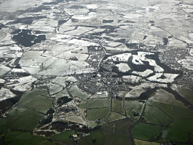
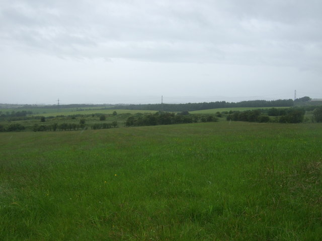
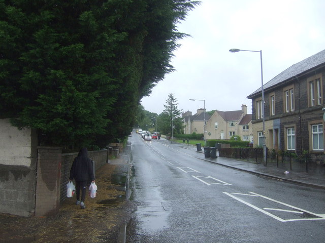
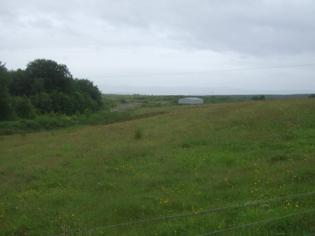
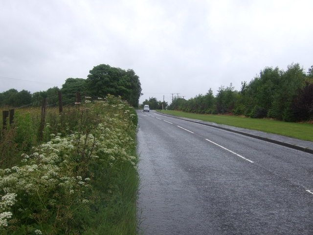
Golfhill is a small residential area located in Lanarkshire, Scotland. Situated on the outskirts of the town of Shotts, Golfhill offers a peaceful and scenic environment for its residents. The area is known for its picturesque landscapes, with rolling hills and green spaces surrounding the community.

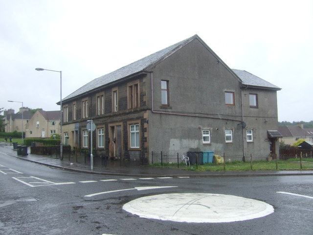
Primarily a residential neighborhood, Golfhill consists of a mix of housing types, including detached houses, semi-detached houses, and a small number of flats. The properties in the area are well-maintained and often feature spacious gardens, providing a pleasant living experience for its inhabitants.

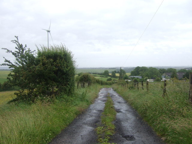
Despite its tranquil setting, Golfhill benefits from its proximity to various amenities. Just a short drive away, residents can access a range of shops, supermarkets, and restaurants in the nearby towns of Shotts and Wishaw. For recreational activities, the area is home to several golf courses, including the popular Shotts Golf Club, which attracts both locals and visitors.

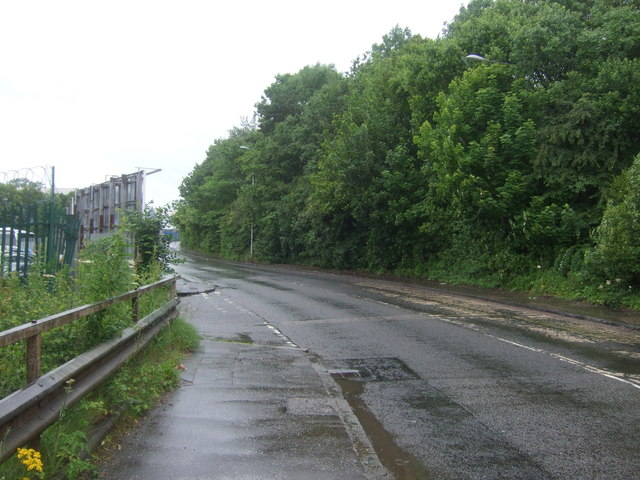
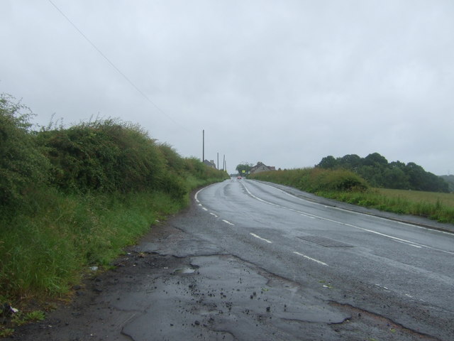
Golfhill offers excellent transportation links, with easy access to major road networks. The M8 motorway is within close proximity, providing convenient connections to Glasgow, Edinburgh, and other nearby towns. Additionally, the area is served by regular bus services, making it easy for residents to travel within the region.

In terms of education, Golfhill is well-served by nearby schools, with both primary and secondary options available in the surrounding towns. The area also benefits from healthcare facilities, including doctor's surgeries and pharmacies.

Overall, Golfhill is an attractive residential area, offering a peaceful and scenic environment while providing convenient access to amenities and transportation links.

If you have any feedback on the listing, please let us know in the comments section below.
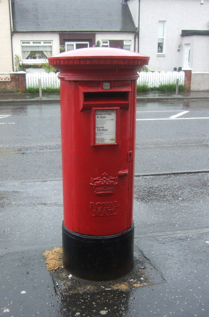
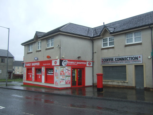
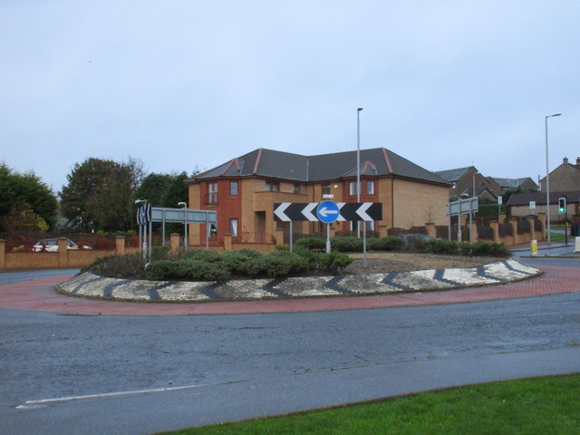
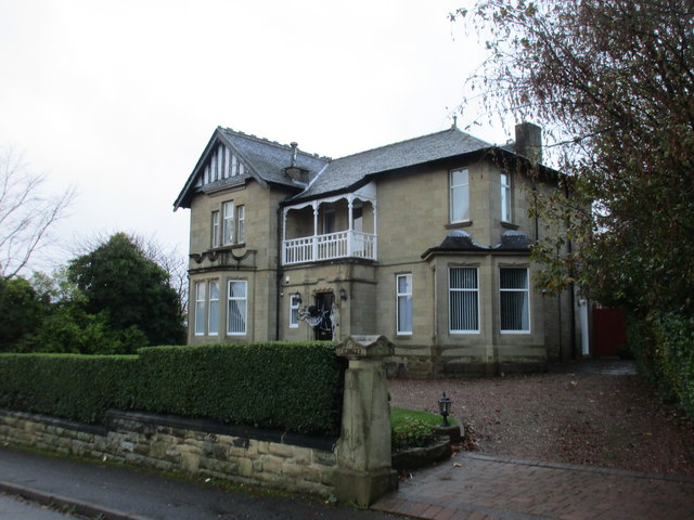
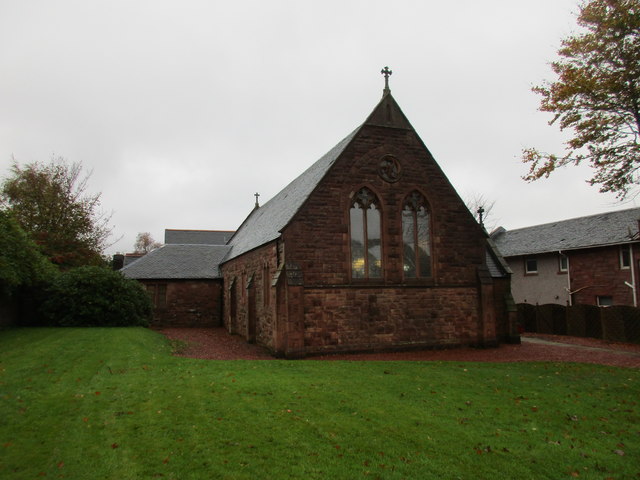
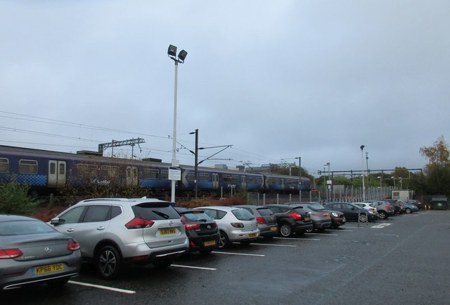
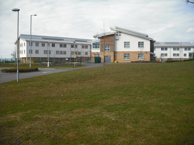
Golfhill Images

Images are sourced within 2km of 55.877653/-3.9913788 or Grid Reference NS7566. Thanks to Geograph Open Source API. All images are credited.

Glenmavis from the air Braidenhill Farm is in the foreground.
Glenmavis from the air
Braidenhill Farm is in the foreground.
Waverley Street (B803) Looking north.
Waverley Street (B803)
Looking north.
Fields and wind turbine Off Coatbridge Road.
Fields and wind turbine
Off Coatbridge Road.
Coatbridge Road (B803) Looking north east.
Coatbridge Road (B803)
Looking north east.
Grassland, Dryflat
Grassland, Dryflat
Track to Dryflat Looking west from Coatbridge Road.
Track to Dryflat
Looking west from Coatbridge Road.
Coatbridge Road (B803) Looking north east.
Coatbridge Road (B803)
Looking north east.
Houses on Coatbridge Road (B803), Glenmavis
Coatbridge Road (B803), Glenmavis Looking north east.
Coatbridge Road (B803), Glenmavis
Looking north east.
Entering Glenmavis Looking south west on Raebog Road (B803).
Entering Glenmavis
Looking south west on Raebog Road (B803).
Grassland, Raebog Off Raebog Road (B803).
Grassland, Raebog
Off Raebog Road (B803).
Raebog Road (B803) Looking north east.
Raebog Road (B803)
Looking north east.
Elizabethan postbox outside Glenmavis Post Office Postbox No. ML6 24.
Elizabethan postbox outside Glenmavis Post Office
Postbox No. ML6 24.
Glenmavis Post Office On Coatbridge Road.

Showing position of Postbox No. ML6 24.
Glenmavis Post Office
On Coatbridge Road. Showing position of Postbox No. ML6 24.
Roundabout on Victoria Place
Villa on Woodburn Avenue Halloween decorations on the front door.
Villa on Woodburn Avenue
Halloween decorations on the front door.
The Episcopal Church of St.Paul and St. John the Evangelist, Monklands Built in 1897 to a design by Henry Denison Walton.
The Episcopal Church of St.Paul and St. John the Evangelist, Monklands
Built in 1897 to a design by Henry Denison Walton.
Airdrie Station and car park
Show me another place!

Golfhill is located at Grid Ref: NS7566 (Lat: 55.877653, Lng: -3.9913788)

Unitary Authority: North Lanarkshire

Police Authority: Lanarkshire

What 3 Words

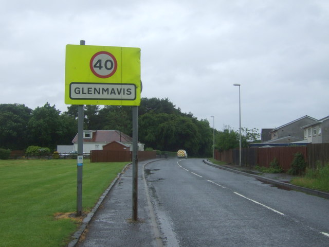
///renewals.softly.discouraged. Near Glenmavis, North Lanarkshire

Related Wikis

Commonhead railway station

Commonhead (Airdrie North) railway station, was a railway station in Airdrie, Scotland. It was built in 1828, as part of the Ballochney Railway. it was...

Airdrie Academy

Airdrie Academy is a secondary school within Airdrie, North Lanarkshire, Scotland. == Admissions == It has a current roll of approximately 1,100 pupils...

Airdrie Leaend railway station

Airdrie Leaend railway station served the town of Airdrie, North Lanarkshire, Scotland from 1828 to 1843 on the Hallcraig Street branch. == History... ==

Glenmavis

Glenmavis is a village in the North Lanarkshire area of Scotland. It is about two miles (three kilometres) northwest of Airdrie on the B802 road. It has...

Rawyards railway station

Rawyards railway station served the area of Rawyards, North Lanarkshire, Scotland, from 1845 to 1930 on the Ballochney Railway. == History == The station...

Airdrie Public Library

Airdrie Public Library is a public library in Airdrie, North Lanarkshire, Scotland. The library has been housed in a number of buildings since its founding...

Stand, North Lanarkshire

Stand is a hamlet in North Lanarkshire, Scotland situated on the A73 near Airdrie. Its Ordnance Survey grid reference is NS7668.The village appeared on...

University Hospital Monklands

University Hospital Monklands is a district general hospital in Airdrie, North Lanarkshire, Scotland. It serves a population of approximately 260,000 people...

Nearby Amenities

Located within 500m of 55.877653,-3.9913788
Golfhill
Is In: Airdrie, North Lanarkshire, Scotland, UK
Place: suburb
Postal Code: ML6
Lat/Long: 55.8791688/-3.9888828
Turning Circle
Lat/Long: 55.8780759/-3.9836774
Power: pole
Lat/Long: 55.8763434/-3.9984036
Power: pole
Lat/Long: 55.8764311/-3.9972453
Power: pole
Lat/Long: 55.8765035/-3.996285
Power: pole
Lat/Long: 55.8765807/-3.9952496
Power: pole
Lat/Long: 55.87668/-3.9939956
Power: pole
Lat/Long: 55.8767162/-3.9939706
Power: pole
Lat/Long: 55.8773438/-3.9934977
Power: pole
Lat/Long: 55.8778614/-3.993106
Power: pole
Lat/Long: 55.8758935/-3.9958788
Power: pole
Lat/Long: 55.8752437/-3.9954496
Power: pole
Lat/Long: 55.8745846/-3.9949913
Noexit: yes
Lat/Long: 55.8770175/-3.9891348
Bus Stop
Thrashbush, Glenmavis Road opp Rochsoles Drive
Bus: yes
Departures Board: timetable
Naptan AtcoCode: 6160929
Naptan NaptanCode: 65235426
Public Transport: platform
Shelter: yes
Lat/Long: 55.8753904/-3.9883819
Bus Stop
Thrashbush, Glenmavis Road before Rochsoles Drive
Bus: yes
Departures Board: timetable
Naptan AtcoCode: 6160930
Naptan NaptanCode: 65232463
Public Transport: platform
Shelter: yes
Lat/Long: 55.8758147/-3.9887541
Bus Stop
Thrashbush, Glenmavis Road opp Ballochney Street
Bus: yes
Departures Board: timetable
Naptan AtcoCode: 6160931
Naptan NaptanCode: 65232935
Public Transport: platform
Shelter: no
Lat/Long: 55.8774659/-3.9911096
Bus Stop
Thrashbush, Glenmavis Road at Ballochney Street
Bus: yes
Departures Board: timetable
Naptan AtcoCode: 6160932
Naptan NaptanCode: 65236296
Public Transport: platform
Shelter: no
Lat/Long: 55.8777581/-3.9915774
Bus Stop
Thrashbush, Rochsoles Drive before Kirkstyle Crescent
Bus: yes
Departures Board: timetable
Naptan AtcoCode: 61601667
Naptan NaptanCode: 65262463
Public Transport: platform
Shelter: no
Lat/Long: 55.8764033/-3.985223
Bus Stop
Airdrie, Rochsoles Drive before School Quadrant
Bus: yes
Departures Board: no
Naptan AtcoCode: 61602059
Naptan NaptanCode: 65252453
Public Transport: platform
Shelter: no
Lat/Long: 55.8763267/-3.9852973
The data included in this document is from www.openstreetmap.org. The data is made available under ODbL.

Have you been to Golfhill?

Leave your review of Golfhill below (or comments, questions and feedback).