Burnfoot

Settlement in Lanarkshire

Scotland

Burnfoot

Coats Parish Church At the top of Jackson Street. More recently known as Clifton Parish Church after mergers.  
                                                                                  No longer in use as a place of worship.
Coats Parish Church Credit: Jim Smillie

Burnfoot is a small village located in the North Lanarkshire council area of Scotland. Situated in the heart of Lanarkshire, it is nestled between the towns of Carluke and Lanark. With a population of around 1,200 residents, Burnfoot offers a close-knit community atmosphere.

The village is known for its picturesque surroundings, with the scenic Clyde Valley and Tinto Hill nearby. The area is rich in natural beauty, attracting outdoor enthusiasts and nature lovers. The River Clyde flows just a few miles to the west, providing opportunities for fishing and boating.

In terms of amenities, Burnfoot offers a range of local services to cater to its residents' needs. There is a primary school, providing education for children up to the age of 11. The village also has a local shop, post office, and a community center, which hosts various events and activities.

Transport links in Burnfoot are relatively good, with regular bus services connecting the village to nearby towns and cities. The M74 motorway is easily accessible, providing convenient access to Glasgow and Edinburgh.

Historically, Burnfoot was known for its farming and agriculture, but like many rural areas, it has seen some economic diversification. Some residents are now employed in nearby towns, while others work in local businesses or are self-employed.

Overall, Burnfoot offers a peaceful and scenic setting for its residents, with a strong sense of community and access to both rural and urban amenities.

If you have any feedback on the listing, please let us know in the comments section below.
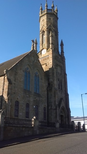
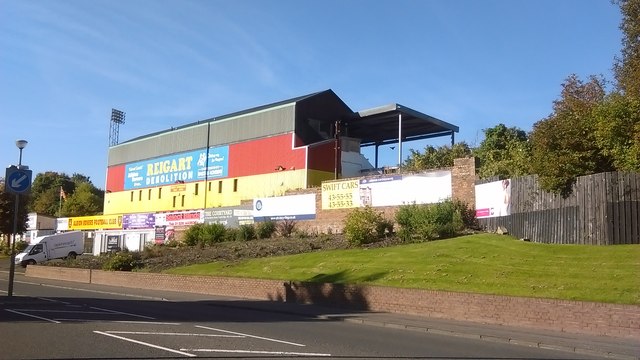
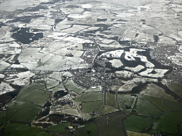
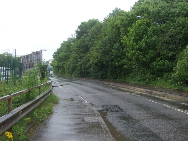
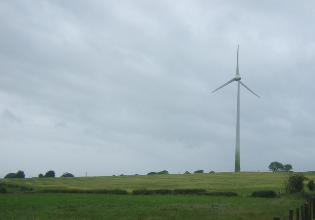
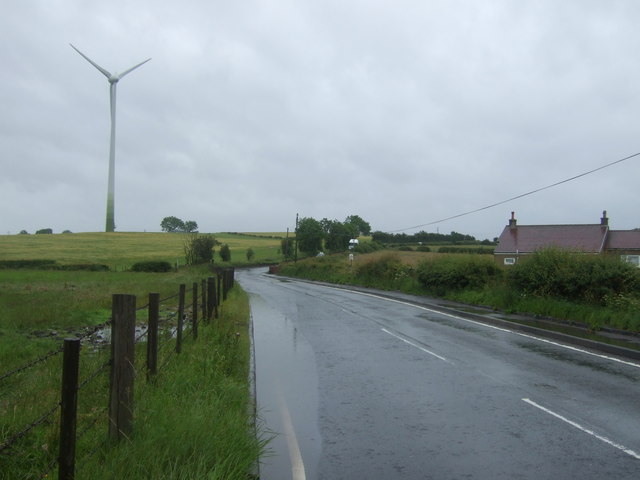
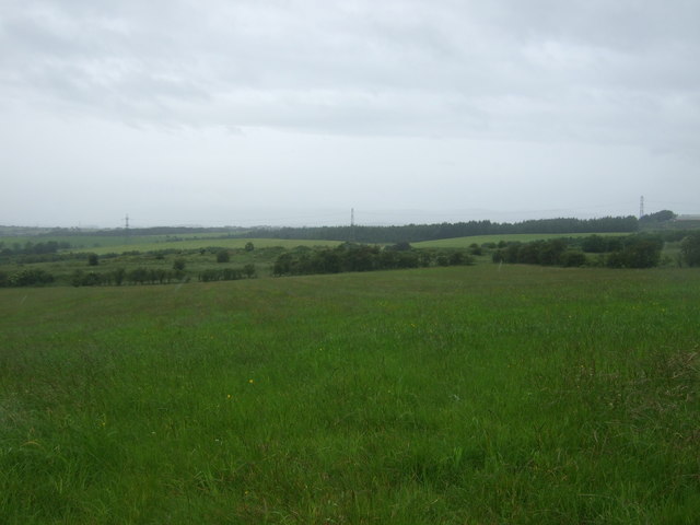
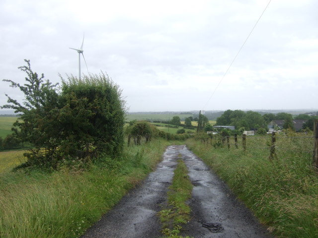
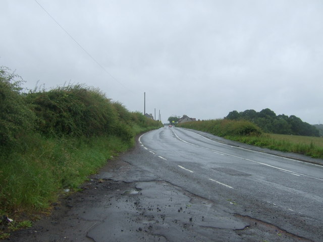
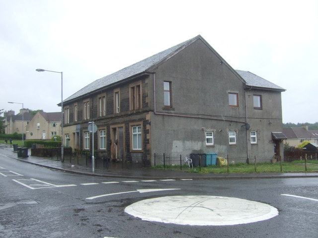
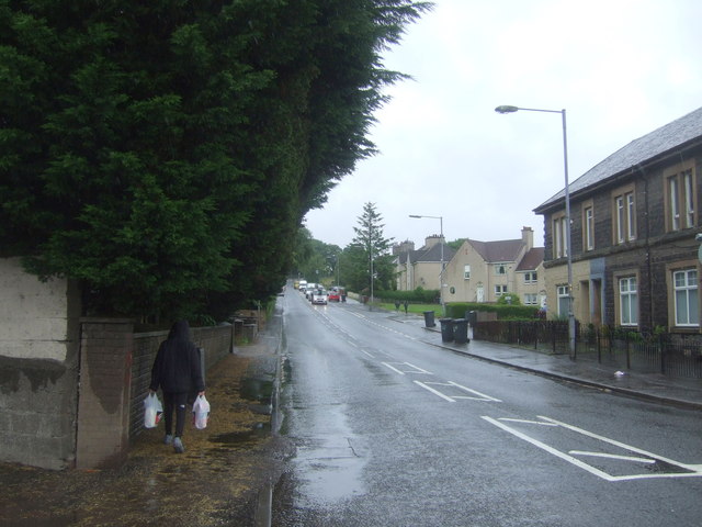
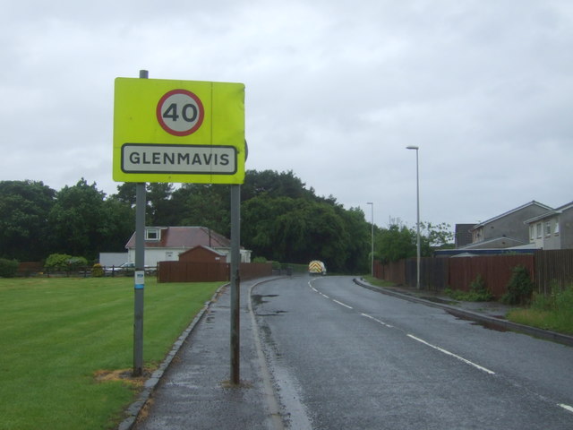
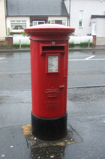
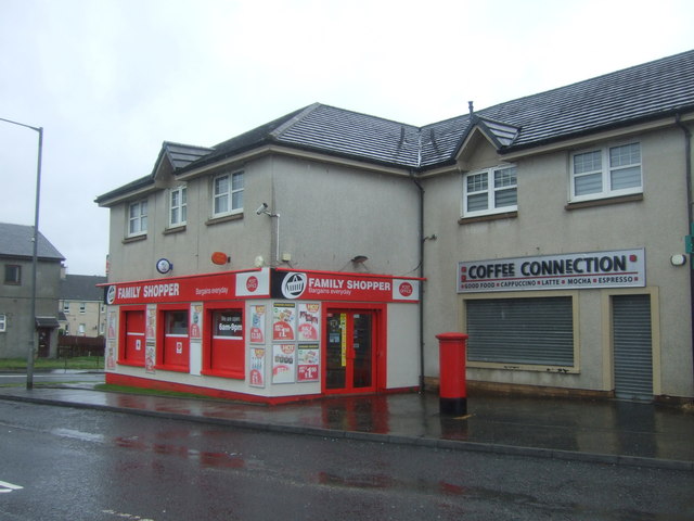
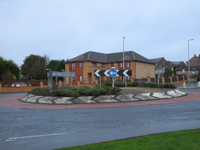
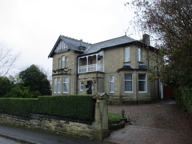
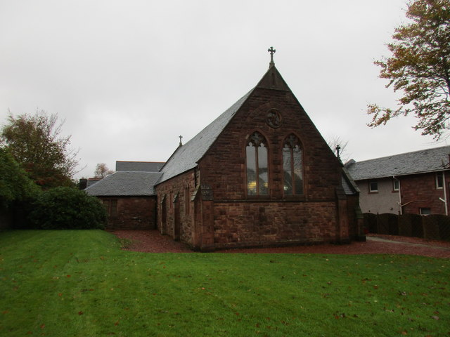
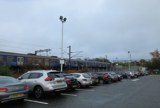
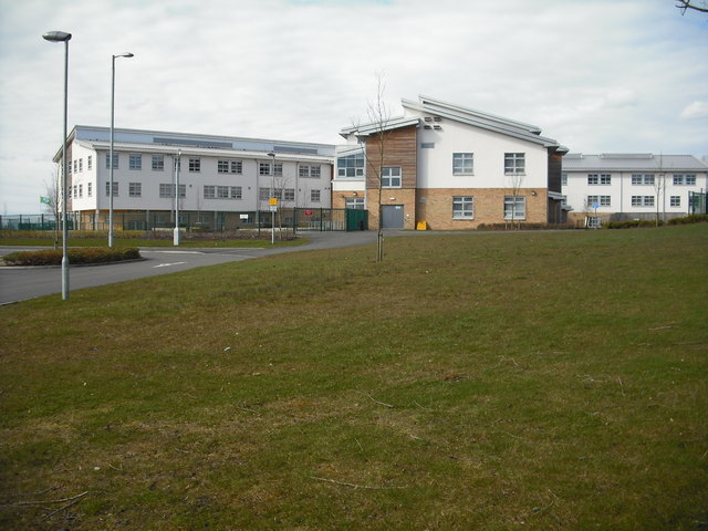
Burnfoot Images

Images are sourced within 2km of 55.872844/-3.993706 or Grid Reference NS7566. Thanks to Geograph Open Source API. All images are credited.

Coats Parish Church At the top of Jackson Street. More recently known as Clifton Parish Church after mergers.  
                                                                                  No longer in use as a place of worship.
Coats Parish Church
At the top of Jackson Street. More recently known as Clifton Parish Church after mergers. No longer in use as a place of worship.
Cliftonhill Home of Albion Rovers Scottish League 2 Champions 2014-15. 

Not to be confused with the nearby residential area known as Cliftonville.
Cliftonhill
Home of Albion Rovers Scottish League 2 Champions 2014-15. Not to be confused with the nearby residential area known as Cliftonville.
Glenmavis from the air Braidenhill Farm is in the foreground.
Glenmavis from the air
Braidenhill Farm is in the foreground.
Waverley Street (B803) Looking north.
Waverley Street (B803)
Looking north.
Fields and wind turbine Off Coatbridge Road.
Fields and wind turbine
Off Coatbridge Road.
Coatbridge Road (B803) Looking north east.
Coatbridge Road (B803)
Looking north east.
Grassland, Dryflat
Grassland, Dryflat
Track to Dryflat Looking west from Coatbridge Road.
Track to Dryflat
Looking west from Coatbridge Road.
Coatbridge Road (B803) Looking north east.
Coatbridge Road (B803)
Looking north east.
Houses on Coatbridge Road (B803), Glenmavis
Coatbridge Road (B803), Glenmavis Looking north east.
Coatbridge Road (B803), Glenmavis
Looking north east.
Entering Glenmavis Looking south west on Raebog Road (B803).
Entering Glenmavis
Looking south west on Raebog Road (B803).
Elizabethan postbox outside Glenmavis Post Office Postbox No. ML6 24.
Elizabethan postbox outside Glenmavis Post Office
Postbox No. ML6 24.
Glenmavis Post Office On Coatbridge Road.

Showing position of Postbox No. ML6 24.
Glenmavis Post Office
On Coatbridge Road. Showing position of Postbox No. ML6 24.
Roundabout on Victoria Place
Villa on Woodburn Avenue Halloween decorations on the front door.
Villa on Woodburn Avenue
Halloween decorations on the front door.
The Episcopal Church of St.Paul and St. John the Evangelist, Monklands Built in 1897 to a design by Henry Denison Walton.
The Episcopal Church of St.Paul and St. John the Evangelist, Monklands
Built in 1897 to a design by Henry Denison Walton.
Airdrie Station and car park
Show me another place!

Burnfoot is located at Grid Ref: NS7566 (Lat: 55.872844, Lng: -3.993706)

Unitary Authority: North Lanarkshire

Police Authority: Lanarkshire

What 3 Words

///hears.dime.warm. Near Airdrie, North Lanarkshire

Related Wikis

Airdrie Leaend railway station

Airdrie Leaend railway station served the town of Airdrie, North Lanarkshire, Scotland from 1828 to 1843 on the Hallcraig Street branch. == History... ==

Commonhead railway station

Commonhead (Airdrie North) railway station, was a railway station in Airdrie, Scotland. It was built in 1828, as part of the Ballochney Railway. it was...

Airdrie Academy

Airdrie Academy is a secondary school within Airdrie, North Lanarkshire, Scotland. == Admissions == It has a current roll of approximately 1,100 pupils...

University Hospital Monklands

University Hospital Monklands is a district general hospital in Airdrie, North Lanarkshire, Scotland. It serves a population of approximately 260,000 people...

Nearby Amenities

Located within 500m of 55.872844,-3.993706
Burnfoot
Is In: Airdrie, North Lanarkshire, Scotland, UK
Name En: Burnfoot
Place: hamlet
Lat/Long: 55.8748671/-3.9979095
Whinhall
Created By: Potlatch 0.10b
Is In: Airdrie, North Lanarkshire, Scotland, UK
Place: suburb
Postal Code: ML6
Lat/Long: 55.8699129/-3.9924629
Mini Roundabout
Direction: clockwise
Lat/Long: 55.8728443/-3.9936539
Ele: 117
Natural: peak
Lat/Long: 55.8727219/-4.0016105
Mini Roundabout
Direction: clockwise
Lat/Long: 55.8691903/-3.9899739
Mini Roundabout
Direction: clockwise
Lat/Long: 55.8707583/-3.990409
Whinhall Market
Created By: Potlatch 0.10f
Shop: convenience
Lat/Long: 55.8697079/-3.9930922
Power: pole
Lat/Long: 55.8763434/-3.9984036
Power: pole
Lat/Long: 55.8764311/-3.9972453
Power: pole
Lat/Long: 55.8765035/-3.996285
Power: pole
Lat/Long: 55.8765807/-3.9952496
Power: pole
Lat/Long: 55.87668/-3.9939956
Power: pole
Lat/Long: 55.8767162/-3.9939706
Power: pole
Lat/Long: 55.8755896/-3.9990598
Power: pole
Lat/Long: 55.8750988/-3.9990431
Power: pole
Lat/Long: 55.8758935/-3.9958788
Power: pole
Lat/Long: 55.8752437/-3.9954496
Power: pole
Lat/Long: 55.8745846/-3.9949913
Noexit: yes
Lat/Long: 55.8697633/-3.9894667
Noexit: yes
Lat/Long: 55.8698845/-3.989291
Noexit: yes
Lat/Long: 55.8698055/-3.9898355
Commonhead
Historic Railway: station
Railway: site
Wikidata: Q30674955
Wikipedia: en:Commonhead railway station
Lat/Long: 55.8724763/-3.9874998
Rochsoles Branch Junction
Historic Railway: junction
Railway: site
Lat/Long: 55.8714055/-4.0011477
Airdrie Leaend
Historic Railway: station
Railway: site
Wikidata: Q101003853
Wikipedia: en:Airdrie Leaend railway station
Lat/Long: 55.8718647/-3.9953951
Bus Stop
Thrashbush, Glenmavis Road opp Rochsoles Drive
Bus: yes
Departures Board: timetable
Naptan AtcoCode: 6160929
Naptan NaptanCode: 65235426
Public Transport: platform
Shelter: yes
Lat/Long: 55.8753904/-3.9883819
Bus Stop
Thrashbush, Glenmavis Road before Rochsoles Drive
Bus: yes
Departures Board: timetable
Naptan AtcoCode: 6160930
Naptan NaptanCode: 65232463
Public Transport: platform
Shelter: yes
Lat/Long: 55.8758147/-3.9887541
The data included in this document is from www.openstreetmap.org. The data is made available under ODbL.

Have you been to Burnfoot?

Leave your review of Burnfoot below (or comments, questions and feedback).