Virtuewell Glen

Valley in Lanarkshire

Scotland

Virtuewell Glen

Glenmavis from the air Braidenhill Farm is in the foreground.
Glenmavis from the air Credit: Thomas Nugent

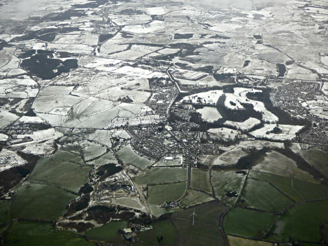
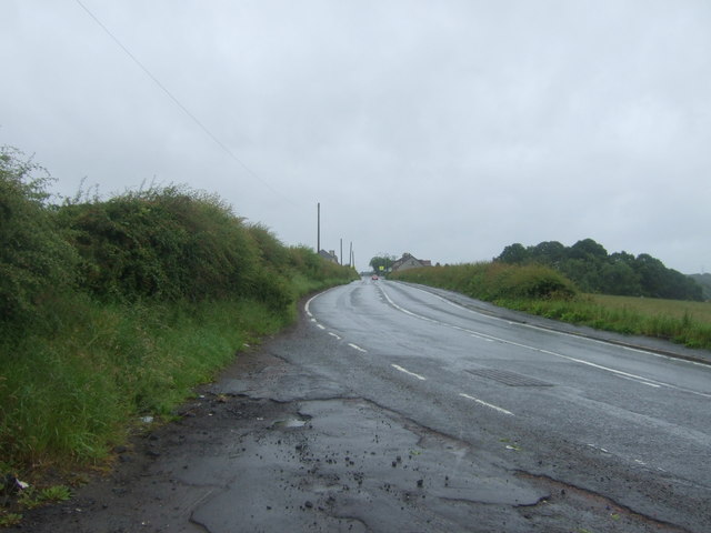
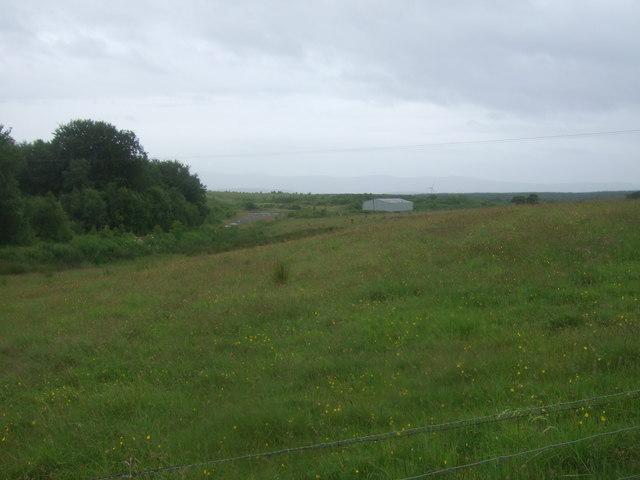
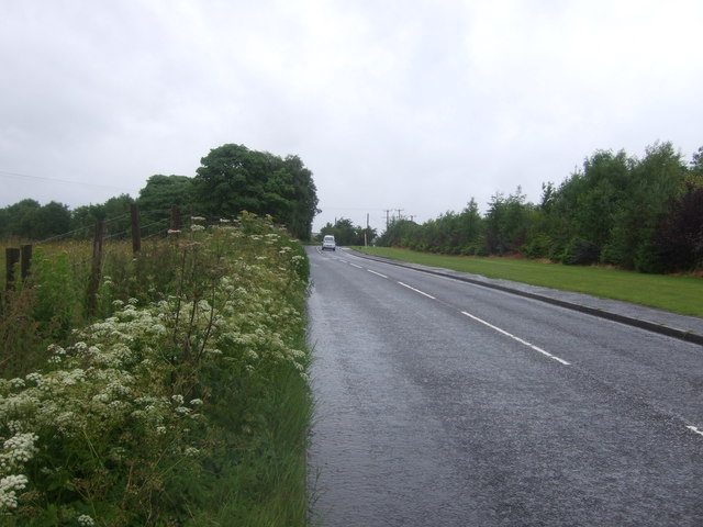
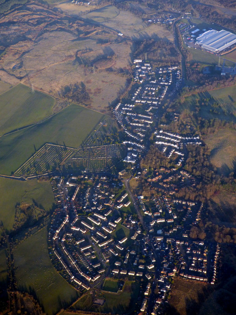
Virtuewell Glen is a picturesque valley located in Lanarkshire, Scotland. Situated amidst the stunning rolling hills and verdant landscapes, this idyllic valley is renowned for its natural beauty and tranquility. The Glen is situated near the town of Virtuewell, which adds to its charm and accessibility.

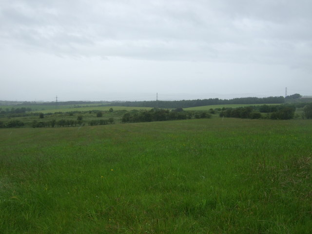
The valley is characterized by its lush green meadows, dense woodlands, and meandering streams. The diverse flora and fauna found here make it a haven for nature enthusiasts and wildlife lovers. Visitors can expect to see a variety of species, including deer, foxes, and a wide range of birdlife.

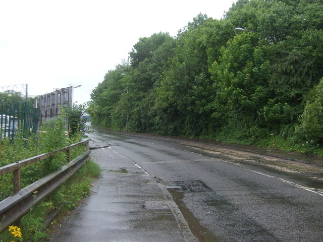
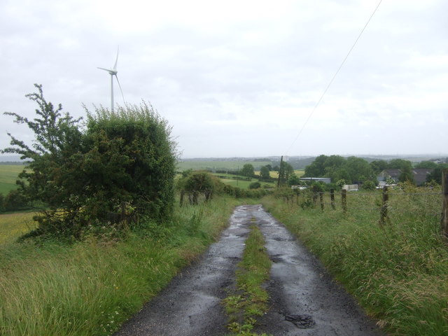
Virtuewell Glen offers a multitude of outdoor activities for visitors to enjoy. Its extensive network of walking trails provides a perfect opportunity for hikers and nature lovers to explore the scenic beauty of the area. The valley also presents ample opportunities for cycling, picnicking, and photography.

For those seeking a more leisurely experience, Virtuewell Glen boasts several picnic spots and viewpoints that offer breathtaking panoramas of the surrounding countryside. The peaceful atmosphere and stunning vistas make it an ideal spot for relaxation and rejuvenation.

The valley is also home to a number of historic landmarks and cultural sites. The nearby Virtuewell Castle, a well-preserved medieval stronghold, is a popular attraction for history enthusiasts. Additionally, the local communities often organize traditional events and festivals that showcase the rich heritage and culture of the region.

In summary, Virtuewell Glen is a captivating destination that combines natural beauty, outdoor activities, and cultural experiences. Whether visitors seek adventure, tranquility, or a taste of history, this charming valley in Lanarkshire has something to offer everyone.

If you have any feedback on the listing, please let us know in the comments section below.

Virtuewell Glen Images

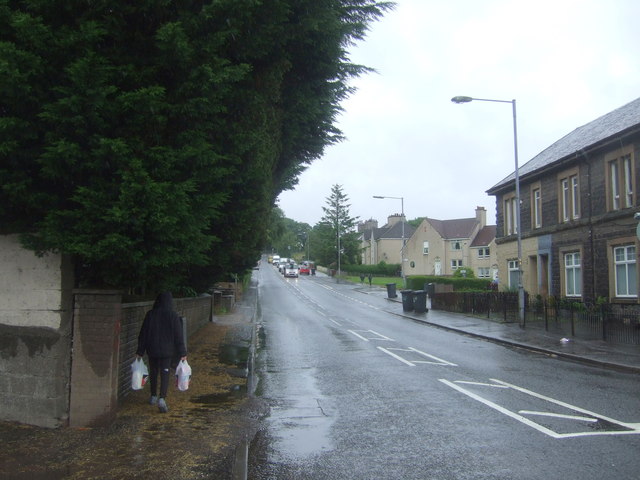
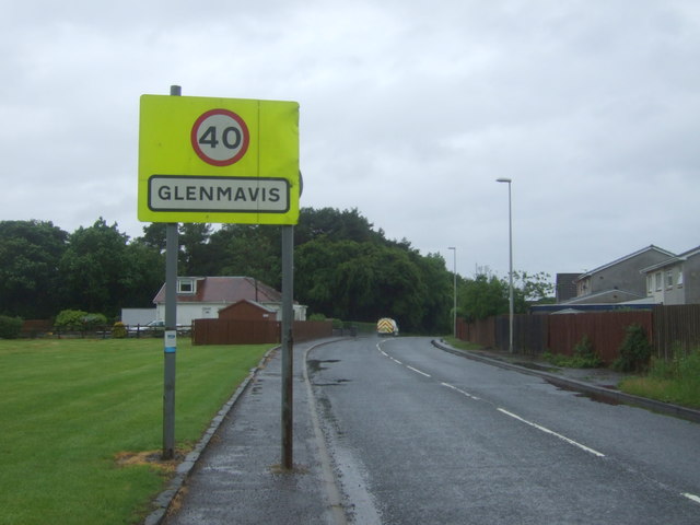
Images are sourced within 2km of 55.877434/-3.9965951 or Grid Reference NS7566. Thanks to Geograph Open Source API. All images are credited.

Glenmavis from the air Braidenhill Farm is in the foreground.
Glenmavis from the air
Braidenhill Farm is in the foreground.
Waverley Street (B803) Looking north.
Waverley Street (B803)
Looking north.
Fields and wind turbine Off Coatbridge Road.
Fields and wind turbine
Off Coatbridge Road.
Coatbridge Road (B803) Looking north east.
Coatbridge Road (B803)
Looking north east.
Grassland, Dryflat
Grassland, Dryflat
Track to Dryflat Looking west from Coatbridge Road.
Track to Dryflat
Looking west from Coatbridge Road.
Coatbridge Road (B803) Looking north east.
Coatbridge Road (B803)
Looking north east.
Houses on Coatbridge Road (B803), Glenmavis
Coatbridge Road (B803), Glenmavis Looking north east.
Coatbridge Road (B803), Glenmavis
Looking north east.
Entering Glenmavis Looking south west on Raebog Road (B803).
Entering Glenmavis
Looking south west on Raebog Road (B803).
Grassland, Raebog Off Raebog Road (B803).
Grassland, Raebog
Off Raebog Road (B803).
Raebog Road (B803) Looking north east.
Raebog Road (B803)
Looking north east.
Elizabethan postbox outside Glenmavis Post Office Postbox No. ML6 24.
Elizabethan postbox outside Glenmavis Post Office
Postbox No. ML6 24.
Glenmavis Post Office On Coatbridge Road.

Showing position of Postbox No. ML6 24.
Glenmavis Post Office
On Coatbridge Road. Showing position of Postbox No. ML6 24.
Roundabout on Victoria Place
Villa on Woodburn Avenue Halloween decorations on the front door.
Villa on Woodburn Avenue
Halloween decorations on the front door.
Airdrie Station and car park
Glenmavis from the air Looking along the B806 Raebog Road from a Glasgow bound flight from Prague.
Glenmavis from the air
Looking along the B806 Raebog Road from a Glasgow bound flight from Prague.
Show me another place!

Virtuewell Glen is located at Grid Ref: NS7566 (Lat: 55.877434, Lng: -3.9965951)

Unitary Authority: North Lanarkshire

Police Authority: Lanarkshire

What 3 Words

///marine.headlight.journey. Near Glenmavis, North Lanarkshire

Related Wikis

Airdrie Leaend railway station

Airdrie Leaend railway station served the town of Airdrie, North Lanarkshire, Scotland from 1828 to 1843 on the Hallcraig Street branch. == History... ==

Commonhead railway station

Commonhead (Airdrie North) railway station, was a railway station in Airdrie, Scotland. It was built in 1828, as part of the Ballochney Railway. it was...

Glenmavis

Glenmavis is a village in the North Lanarkshire area of Scotland. It is about two miles (three kilometres) northwest of Airdrie on the B802 road. It has...
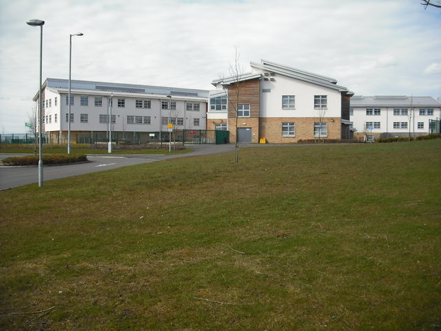
Airdrie Academy

Airdrie Academy is a secondary school within Airdrie, North Lanarkshire, Scotland. == Admissions == It has a current roll of approximately 1,100 pupils...

Nearby Amenities

Located within 500m of 55.877434,-3.9965951
Burnfoot
Is In: Airdrie, North Lanarkshire, Scotland, UK
Name En: Burnfoot
Place: hamlet
Lat/Long: 55.8748671/-3.9979095
Gallow hill
Donald: no
Ele: 156
Graham: no
Munro: no
Natural: peak
Lat/Long: 55.879823/-3.9990053
Power: pole
Lat/Long: 55.8758432/-4.0033387
Power: pole
Lat/Long: 55.8761179/-4.0023263
Power: pole
Lat/Long: 55.8761903/-4.0010847
Power: pole
Lat/Long: 55.8762499/-4.0000868
Power: pole
Lat/Long: 55.876299/-3.9991181
Power: pole
Lat/Long: 55.8763434/-3.9984036
Power: pole
Lat/Long: 55.8764311/-3.9972453
Power: pole
Lat/Long: 55.8765035/-3.996285
Power: pole
Lat/Long: 55.8765807/-3.9952496
Power: pole
Lat/Long: 55.87668/-3.9939956
Power: pole
Lat/Long: 55.8767162/-3.9939706
Power: pole
Lat/Long: 55.8773438/-3.9934977
Power: pole
Lat/Long: 55.8778614/-3.993106
Power: pole
Lat/Long: 55.8755896/-3.9990598
Power: pole
Lat/Long: 55.8750988/-3.9990431
Power: pole
Lat/Long: 55.8758935/-3.9958788
Power: pole
Lat/Long: 55.8752437/-3.9954496
Power: pole
Lat/Long: 55.8745846/-3.9949913
Noexit: yes
Lat/Long: 55.8770175/-3.9891348
Bus Stop
Thrashbush, Glenmavis Road opp Ballochney Street
Bus: yes
Departures Board: timetable
Naptan AtcoCode: 6160931
Naptan NaptanCode: 65232935
Public Transport: platform
Shelter: no
Lat/Long: 55.8774659/-3.9911096
Bus Stop
Thrashbush, Glenmavis Road at Ballochney Street
Bus: yes
Departures Board: timetable
Naptan AtcoCode: 6160932
Naptan NaptanCode: 65236296
Public Transport: platform
Shelter: no
Lat/Long: 55.8777581/-3.9915774
The data included in this document is from www.openstreetmap.org. The data is made available under ODbL.

Have you been to Virtuewell Glen?

Leave your review of Virtuewell Glen below (or comments, questions and feedback).