Burnfoot

Settlement in Roxburghshire

Scotland

Burnfoot

St Andrew’s Care Home, Hawick This former convent at Stirches has a commanding position overlooking the town of Hawick in the Scottish Borders.
St Andrew’s Care Home, Hawick Credit: Walter Baxter

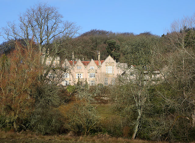
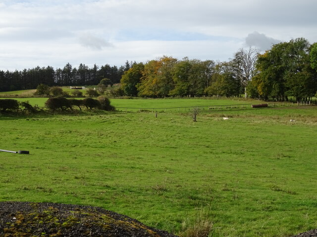
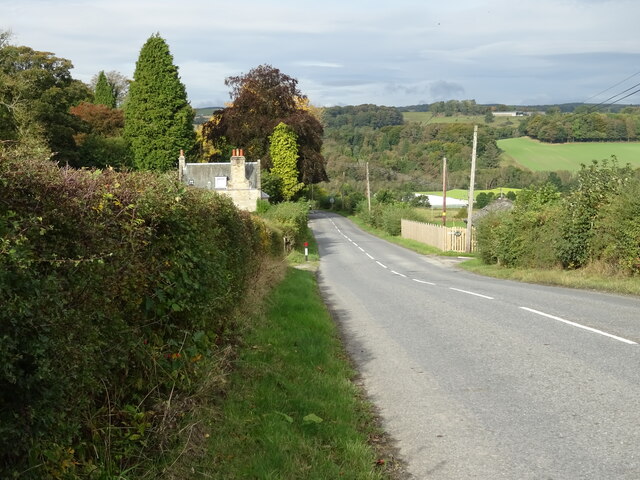
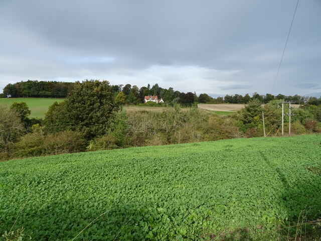
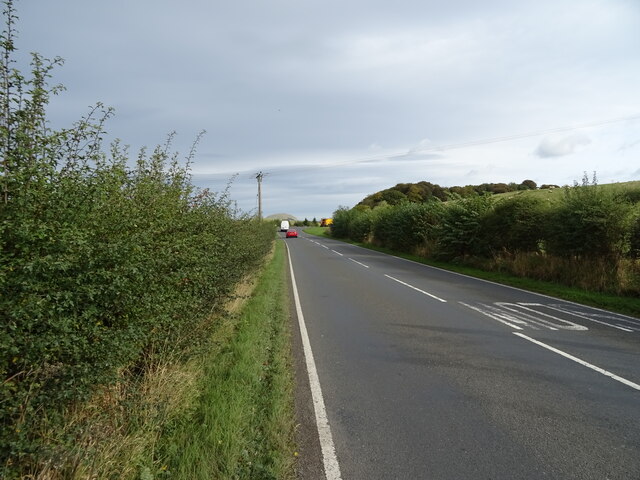
Burnfoot is a small village located in the Scottish Borders region of Roxburghshire. Situated approximately 2 miles southeast of Hawick, it is nestled in the scenic countryside of the Teviot Valley. The village is surrounded by stunning rolling hills, offering picturesque views and a tranquil atmosphere.

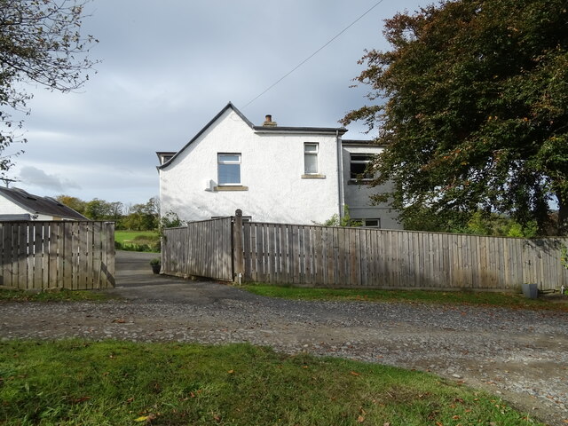
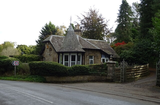
With a population of around 500, Burnfoot is a close-knit community with a strong sense of camaraderie. The village primarily consists of residential properties, with a mix of traditional stone cottages and modern houses. The architecture reflects the area's rich history and rural charm.

Although Burnfoot is a small village, it offers a range of amenities to cater to the needs of its residents. These include a primary school, providing education for local children, and a community center that hosts various events and activities throughout the year. The village also has a local shop, ensuring that residents have access to essential goods.

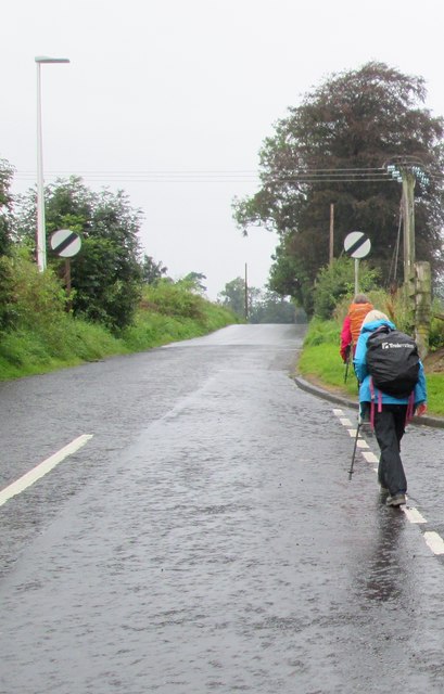
For outdoor enthusiasts, Burnfoot is ideally located, providing ample opportunities for hiking, cycling, and exploring the surrounding countryside. The nearby River Teviot offers excellent fishing spots, attracting anglers from far and wide.

Burnfoot's proximity to Hawick allows residents easy access to a wider range of facilities, including supermarkets, healthcare services, and additional educational options. Hawick also offers a variety of leisure activities, such as golf courses, sports clubs, and a vibrant town center with shops, restaurants, and cultural attractions.

Overall, Burnfoot offers a peaceful and idyllic setting, making it an ideal place for those seeking a close-knit community surrounded by stunning natural beauty.

If you have any feedback on the listing, please let us know in the comments section below.
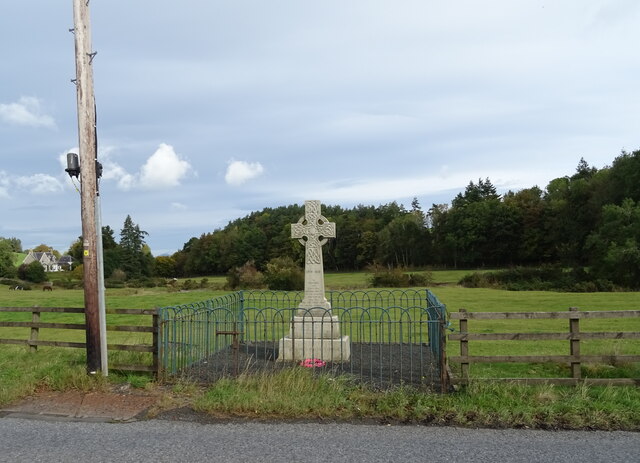
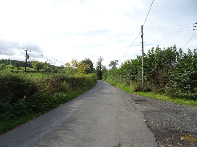
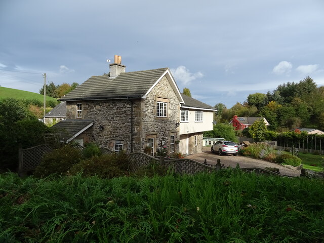
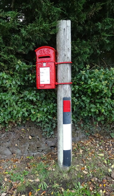
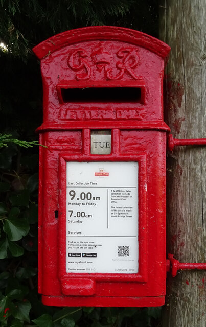
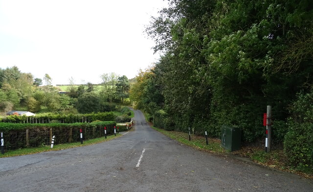
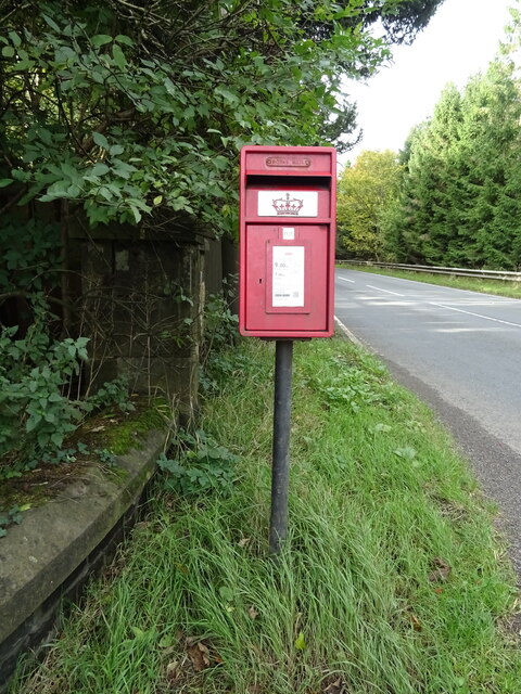
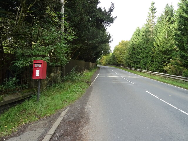
Burnfoot Images

Images are sourced within 2km of 55.435534/-2.7680959 or Grid Reference NT5116. Thanks to Geograph Open Source API. All images are credited.

St Andrew’s Care Home, Hawick This former convent at Stirches has a commanding position overlooking the town of Hawick in the Scottish Borders.
St Andrew’s Care Home, Hawick
This former convent at Stirches has a commanding position overlooking the town of Hawick in the Scottish Borders.
Stirches  Road  meets  countryside After climbing out of Hawick, the first field
Stirches Road meets countryside
After climbing out of Hawick, the first field
Stirches  Road  leaves  Hawick Junction of Guthrie Drive to the right
Stirches Road leaves Hawick
Junction of Guthrie Drive to the right
Entrance  to  former  Convent  now  a  Care  Home St Andrews Care Home
Entrance to former Convent now a Care Home
St Andrews Care Home
War Memorial, Deanbrae Beside the A6088.
War Memorial, Deanbrae
Beside the A6088.
Minor road, Deanbrae Towards Ormiston.
Minor road, Deanbrae
Towards Ormiston.
House in Cauldmill
House in Cauldmill
George VI postbox, Cauldmill Postbox No. TD9 54.

See <a href="https://www.geograph.org.uk/photo/7016978">NT5315 : Close up, George VI postbox, Cauldmill</a> for close up.
See <a href="https://www.geograph.org.uk/photo/7016980">NT5315 : Minor road, Cauldmill</a> for context.
George VI postbox, Cauldmill
Postbox No. TD9 54. See NT5315 : Close up, George VI postbox, Cauldmill for close up. See NT5315 : Minor road, Cauldmill for context.
Close up, George VI postbox, Cauldmill Postbox No. TD9 54.

See <a href="https://www.geograph.org.uk/photo/7016977">NT5315 : George VI postbox, Cauldmill</a> for wider view.
Close up, George VI postbox, Cauldmill
Postbox No. TD9 54. See NT5315 : George VI postbox, Cauldmill for wider view.
Minor road, Cauldmill Towards Kinninghall.
Showing position of Postbox No. TD9 54.

See <a href="https://www.geograph.org.uk/photo/7016977">NT5315 : George VI postbox, Cauldmill</a> for postbox.
Minor road, Cauldmill
Towards Kinninghall. Showing position of Postbox No. TD9 54. See NT5315 : George VI postbox, Cauldmill for postbox.
House on the A6088
House on the A6088
Grazing, Dodlands
Grazing, Dodlands
A6088, Dodlands Towards Hawick.
A6088, Dodlands
Towards Hawick.
Crop field beside the River Teviot Narrow strip of land beside the A698.
Crop field beside the River Teviot
Narrow strip of land beside the A698.
A698 towards Denholm
Lodge on the A698 near 	Hornshole Bridge
Lodge on the A698 near Hornshole Bridge
Postbox on the A698 near Hornshole Bridge Postbox No. TD9 36.

See <a href="https://www.geograph.org.uk/photo/7017000">NT5316 : A698 near Hornshole Bridge</a> for context.
Postbox on the A698 near Hornshole Bridge
Postbox No. TD9 36. See NT5316 : A698 near Hornshole Bridge for context.
A698 near Hornshole Bridge Towards Hawick.
Showing position of Postbox No. TD9 36.

See <a href="https://www.geograph.org.uk/photo/7016998">NT5316 : Postbox on the A698 near Hornshole Bridge</a> for postbox.
A698 near Hornshole Bridge
Towards Hawick. Showing position of Postbox No. TD9 36. See NT5316 : Postbox on the A698 near Hornshole Bridge for postbox.
Show me another place!

Burnfoot is located at Grid Ref: NT5116 (Lat: 55.435534, Lng: -2.7680959)

Unitary Authority: The Scottish Borders

Police Authority: The Lothians and Scottish Borders

What 3 Words

///name.buzzer.retraced. Near Hawick, Scottish Borders

Related Wikis

Burnfoot, Hawick

Burnfoot (Scottish Gaelic: Bun na h-Aibhne, Scots: Burnfit) is a housing estate just east of the A7, in the northern part of Hawick, by the Boonraw Burn...

Mansfield Park, Hawick

Mansfield Park is a rugby union ground in Hawick, Scotland, with a capacity of approximately 5,000. It is the home of Hawick Rugby Football Club, who currently...

Appletreehall

Appletreehall is a village in the Scottish Borders area of Scotland, 2 miles north-east of Hawick, in the historic county of Roxburghshire. Nearby are...

Hawick railway station

Hawick railway station served the town of Hawick, Scottish Borders, Scotland from 1849 to 1969 on the Waverley Route. == History == The first station opened...

Hawick Library

Hawick Library is housed in the building built in 1904 in Hawick and it was one of the many libraries funded by Andrew Carnegie. The library is a Category...

Stirches

Stirches is an area of Hawick in the Scottish Borders, mostly consisting of ex-council housing built in 1973. It is often considered to be one of the more...
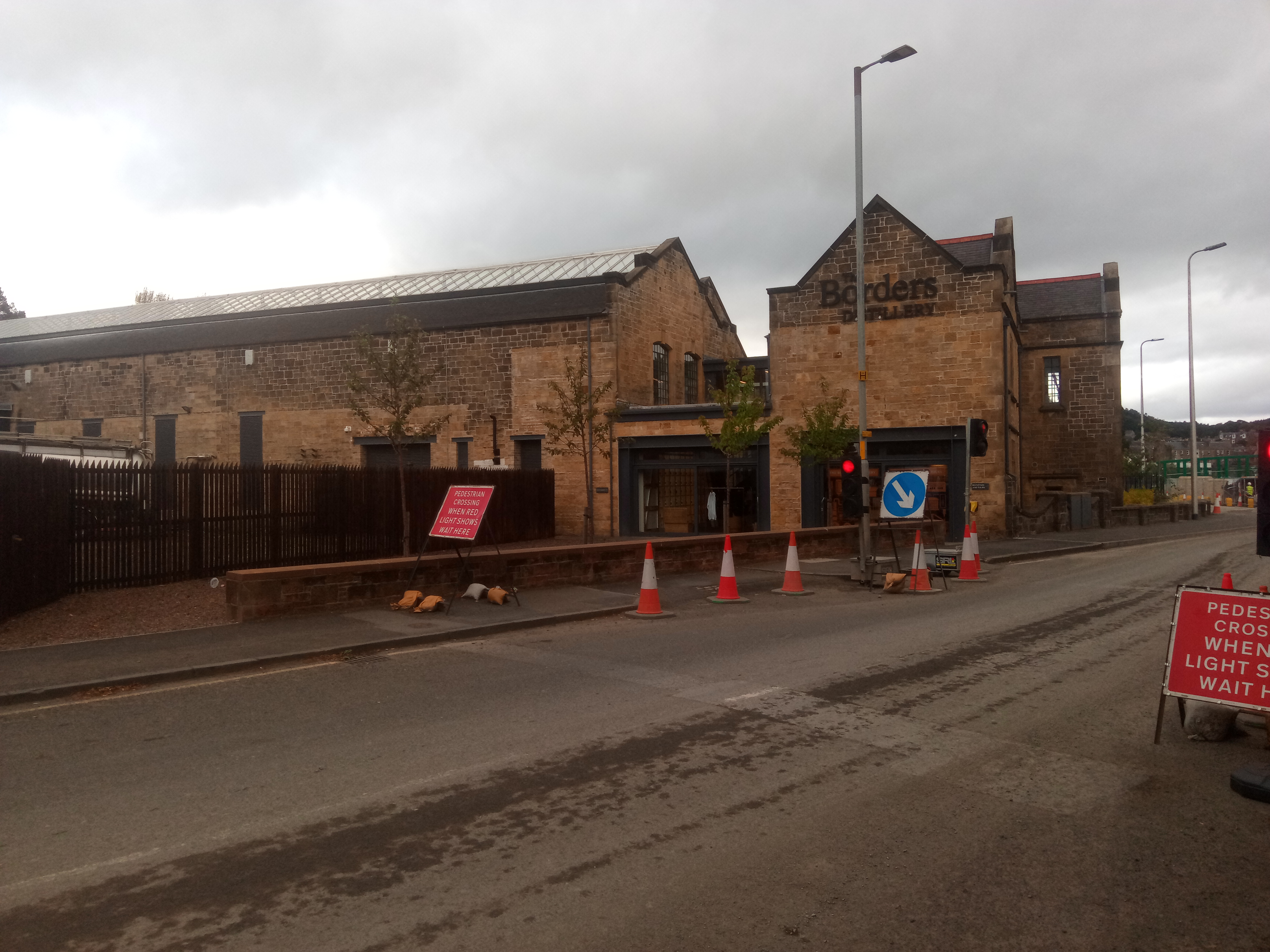
Borders distillery

The Borders distillery, is a malt whisky, gin and vodka production facility in the Scottish Borders town of Hawick. The distillery produces malt whisky...

Hawick Town Hall

Hawick Town Hall is a municipal building in the High Street, Hawick, Scotland. The structure, which served as the meeting place of Hawick Burgh Council...

Nearby Amenities

Located within 500m of 55.435534,-2.7680959
Bus Stop
Burnfoot Road
Bus: yes
Naptan AtcoCode: 6900894
Naptan Bearing: N
Naptan CommonName: Burnfoot Road
Naptan Indicator: opp The Meadows
Naptan Landmark: The Meadows
Naptan NaptanCode: 72726956
Naptan Street: Burnfoot Road
Naptan Verified: no
Public Transport: platform
Shelter: no
Source: naptan_import
Lat/Long: 55.4346554/-2.7731543
Bus Stop
Burnfoot Road
Bus: yes
Naptan AtcoCode: 6900895
Naptan Bearing: S
Naptan CommonName: Burnfoot Road
Naptan Indicator: at The Meadows
Naptan Landmark: The Meadows
Naptan NaptanCode: 72726969
Naptan Street: Burnfoot Road
Naptan Verified: no
Public Transport: platform
Shelter: yes
Source: naptan_import
Lat/Long: 55.4347243/-2.7722074
Bus Stop
Burnfoot Shops
Bus: yes
Departures Board: timetable
Local Ref: AT
Naptan AtcoCode: 6900896
Naptan Bearing: N
Naptan CommonName: Shops
Naptan Indicator: At
Naptan Landmark: Bus Shelter
Naptan NaptanCode: 72727286
Naptan Street: Kenilworth Ave
Naptan Verified: no
Operator: Borders Buses
Public Transport: platform
Shelter: yes
Source: naptan_import
Lat/Long: 55.4355733/-2.7689595
Bus Stop
Burnfoot Road
Bus: yes
Naptan AtcoCode: 6900897
Naptan Bearing: N
Naptan CommonName: Burnfoot Road
Naptan Indicator: opp Catholic Church
Naptan Landmark: Fairhurst Drive
Naptan NaptanCode: 72726986
Naptan Street: Burnfoot Road
Naptan Verified: no
Public Transport: platform
Shelter: no
Source: naptan_import
Lat/Long: 55.4365867/-2.7646888
Bus Stop
Burns Road
Naptan AtcoCode: 6900898
Naptan Bearing: N
Naptan CommonName: Burns Road
Naptan Indicator: o/s 9
Naptan Landmark: Cavers View
Naptan NaptanCode: 72726983
Naptan Street: Burns Road
Naptan Verified: no
Source: naptan_import
Lat/Long: 55.4370243/-2.765124
Bus Stop
Queens Drive
Naptan AtcoCode: 6900899
Naptan Bearing: N
Naptan CommonName: Queens Drive
Naptan Indicator: o/s 6
Naptan Landmark: Queens Drive
Naptan NaptanCode: 72726973
Naptan Street: Queens Drive
Naptan Verified: no
Source: naptan_import
Lat/Long: 55.4377849/-2.7656445
Bus Stop
Primary School
Bus: yes
Naptan AtcoCode: 6900900
Naptan Bearing: N
Naptan CommonName: Primary School
Naptan Indicator: O/s
Naptan Landmark: Primary School
Naptan NaptanCode: 72726989
Naptan Street: Eildon Road
Naptan Verified: no
Public Transport: platform
Shelter: no
Source: naptan_import
Lat/Long: 55.4381917/-2.7676875
Bus Stop
Ruberslaw Road
Bus: yes
Naptan AtcoCode: 6900901
Naptan Bearing: W
Naptan CommonName: Ruberslaw Road
Naptan Indicator: o/s 21
Naptan Landmark: Ruberslaw Road
Naptan NaptanCode: 72727232
Naptan Street: Eildon Road
Naptan Verified: no
Public Transport: platform
Shelter: no
Source: naptan_import
Lat/Long: 55.4388604/-2.7699507
Bus Stop
Galalaw Road
Bus: yes
Naptan AtcoCode: 6900902
Naptan Bearing: W
Naptan CommonName: Galalaw Road
Naptan Indicator: o/s 34
Naptan Landmark: Boonraw Road
Naptan NaptanCode: 72727234
Naptan Street: Eildon Road
Naptan Verified: no
Public Transport: platform
Shelter: no
Source: naptan_import
Lat/Long: 55.438514/-2.7721487
Bus Stop
Fraser Avenue
Bus: yes
Naptan AtcoCode: 6900906
Naptan Bearing: E
Naptan CommonName: Fraser Avenue
Naptan Indicator: Bus Shelter
Naptan Landmark: Hillend Drive
Naptan NaptanCode: 72726985
Naptan Street: Fraser Avenue
Naptan Verified: no
Public Transport: platform
Shelter: yes
Source: naptan_import
Lat/Long: 55.4369042/-2.7742256
Bus Stop
Fraser Avenue
Bus: yes
Naptan AtcoCode: 6900907
Naptan Bearing: E
Naptan CommonName: Fraser Avenue
Naptan Indicator: Ruberslaw Road
Naptan Landmark: Ruberslaw Road
Naptan NaptanCode: 72726987
Naptan Street: Fraser Avenue
Naptan Verified: no
Public Transport: platform
Shelter: no
Source: naptan_import
Lat/Long: 55.4366742/-2.7707914
Post Office
Burnfoot Post Office
Addr City: Hawick
Addr Country: GB
Addr Housenumber: 5
Addr Postcode: TD9 8EG
Addr Street: Kenilworth Avenue
Addr Village: Burnfoot
Opening Hours: Mo-Fr 07:00-17:30; Sa 07:00-16:30
Ref Pol Id: 3180
Source: Local knowledge
Lat/Long: 55.4356232/-2.7694352
Recycling
Burnfoot school recycling
Recycling Type: container
Lat/Long: 55.4372773/-2.7679185
Burnfoot
Name Gd: Bun na h-Aibhne
Name Sco: Burnfit
Place: suburb
Wikidata: Q4999714
Wikipedia: en:Burnfoot, Scottish Borders
Lat/Long: 55.4355576/-2.7687179
Bus Stop
Eildon Road
Bus: yes
Public Transport: platform
Shelter: no
Lat/Long: 55.4381591/-2.7655819
Noexit: yes
Lat/Long: 55.4349626/-2.7607113
Noexit: yes
Lat/Long: 55.4347957/-2.7603844
CTIL Burnfoot
Communication Mobile Phone: yes
Man Made: mast
Tower Type: communication
Lat/Long: 55.4351806/-2.7638618
Pharmacy
Borders Pharmacy
Addr City: Hawick
Addr Housenumber: 11-13
Addr Postcode: TD9 8EG
Addr Street: Kenilworth Avenue
Dispensing: yes
Drive Through: no
Healthcare: pharmacy
Operator: Borders Pharmacy
Website: https://borderspharmacy.co.uk/
Lat/Long: 55.4354942/-2.7694294
Fast Food
Tony's Takeaway
Addr City: Hawick
Addr Housenumber: 15
Addr Postcode: TD9 8EG
Addr Street: Kenilworth Avenue
Cuisine: fish_and_chips
Delivery: yes
Drive Through: no
Internet Access: no
Outdoor Seating: no
Phone: +44 1450 378943
Website: https://tonystakeawayhawick.co.uk/Menu
Lat/Long: 55.4357924/-2.7694316
Dorota's Wonder Cakes
Addr City: Hawick
Addr Housenumber: 25
Addr Postcode: TD9 8EY
Addr Street: Ruberslaw Road
Description: Cake baker
Phone: +44 7928 969787
Shop: bakery
Website: https://dorotaswondercakes.co.uk/
Lat/Long: 55.4374373/-2.7726882
Forever Scotland
Addr City: Hawick
Addr Housenumber: 22
Addr Postcode: TD9 8EZ
Addr Street: Leishman Place
Office: consulting
Opening Hours Covid19: closed
Website: http://www.foreverscotland.co.uk/
Lat/Long: 55.4379082/-2.7721378
A1 Taxis Hawick
Addr City: Hawick
Addr Housenumber: 9
Addr Postcode: TD9 8DR
Addr Street: Boonraw Road
Office: transport
Phone: +44 7707 480147
Website: http://a1taxis-hawick.co.uk/
Lat/Long: 55.4391916/-2.7720704
Generator Method: photovoltaic
Generator Output Electricity: yes
Generator Source: solar
Generator Type: solar_photovoltaic_panel
Power: generator
Lat/Long: 55.4350719/-2.7650155
Noexit: yes
Lat/Long: 55.4346361/-2.7611471
Noexit: yes
Lat/Long: 55.4345219/-2.7609158
Barrier: bollard
Lat/Long: 55.4344044/-2.7625846
Barrier: bollard
Lat/Long: 55.4344931/-2.7625021
Events Venue
Mansfield Park Events
Addr City: Hawick
Addr Housename: Mansfield Park
Addr Postcode: TD9 8AW
Addr Street: Mansfield Road
Phone: +44 1450 390900
Website: https://www.mansfieldpark.co.uk/
Lat/Long: 55.4319704/-2.7676406
Give Way
Direction: forward
Lat/Long: 55.4334702/-2.767141
The data included in this document is from www.openstreetmap.org. The data is made available under ODbL.

Have you been to Burnfoot?

Leave your review of Burnfoot below (or comments, questions and feedback).