Burnhead

Settlement in Roxburghshire

Scotland

Burnhead

Wheelie bin graveyard above Hawick Green-topped wheelie bins stored at a former landfill site, following Scottish Borders Council's decision to cease kerbside collection of garden waste last year, as an economy measure. Householders now have the option of taking garden waste to recycling sites or paying for collection.
Wheelie bin graveyard above Hawick Credit: Jim Barton

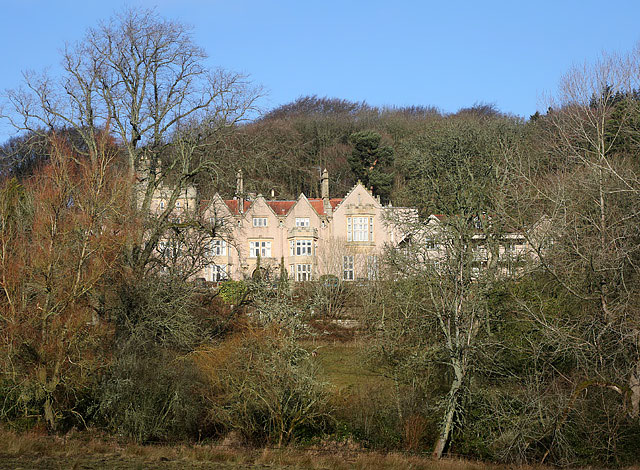
Burnhead is a small village located in the county of Roxburghshire, in the southeastern part of Scotland. Situated about 5 miles south of Hawick, Burnhead is nestled in a picturesque rural setting, surrounded by rolling hills and lush green fields. The village is part of the Scottish Borders region, known for its stunning landscapes and rich history.

Despite its small size, Burnhead has a close-knit community and offers a tranquil and peaceful atmosphere for its residents. The village primarily consists of traditional stone houses and cottages, giving it a charming and timeless appeal. The local economy is primarily based on agriculture and farming, with many residents engaged in livestock rearing and crop cultivation.

While there are limited amenities directly in Burnhead, nearby Hawick provides access to a wider range of services such as shops, schools, and healthcare facilities. The village is well-connected to the surrounding areas through a network of roads, making it easily accessible for both residents and visitors.

For those seeking outdoor activities, Burnhead offers ample opportunities for exploring the beautiful Scottish countryside. The surrounding hills and valleys are perfect for hiking, cycling, and horse riding. The area is also known for its abundance of wildlife, making it a popular destination for nature enthusiasts and birdwatchers.

Overall, Burnhead is a charming rural village in Roxburghshire, Scotland, known for its scenic beauty, agricultural heritage, and warm community spirit.

If you have any feedback on the listing, please let us know in the comments section below.
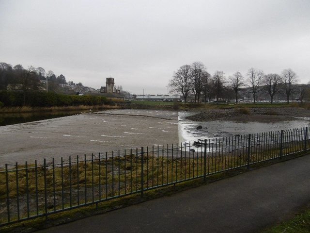
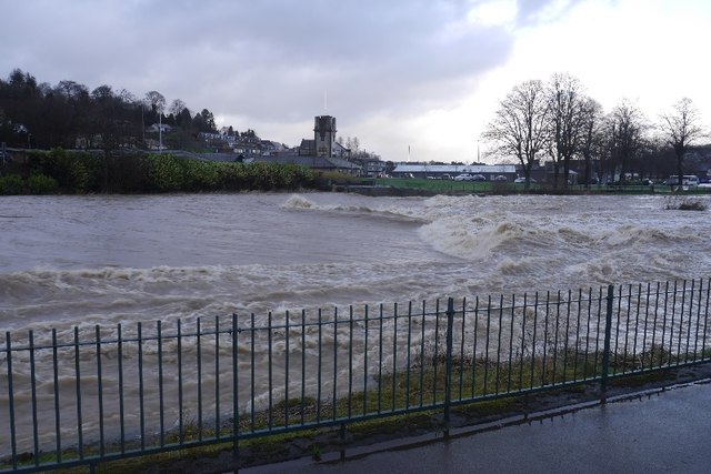
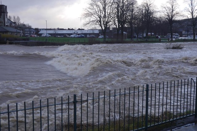
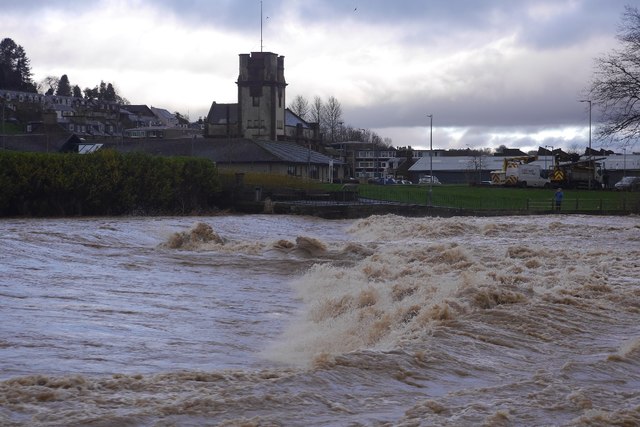
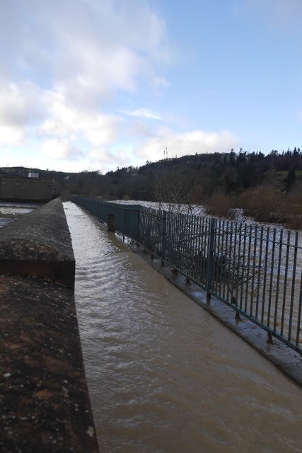
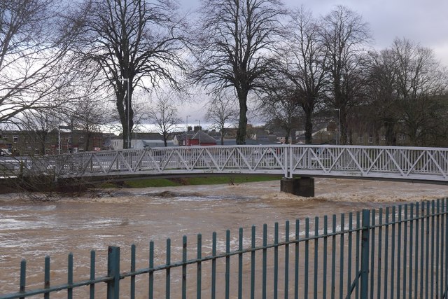
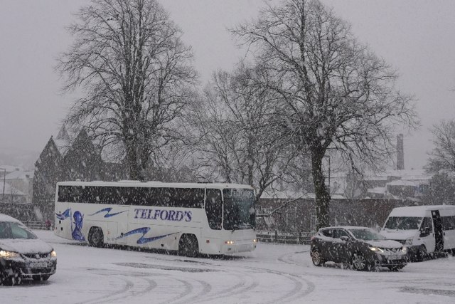
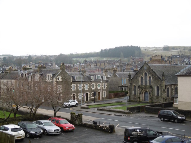
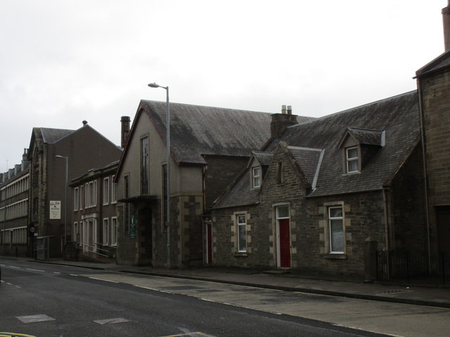
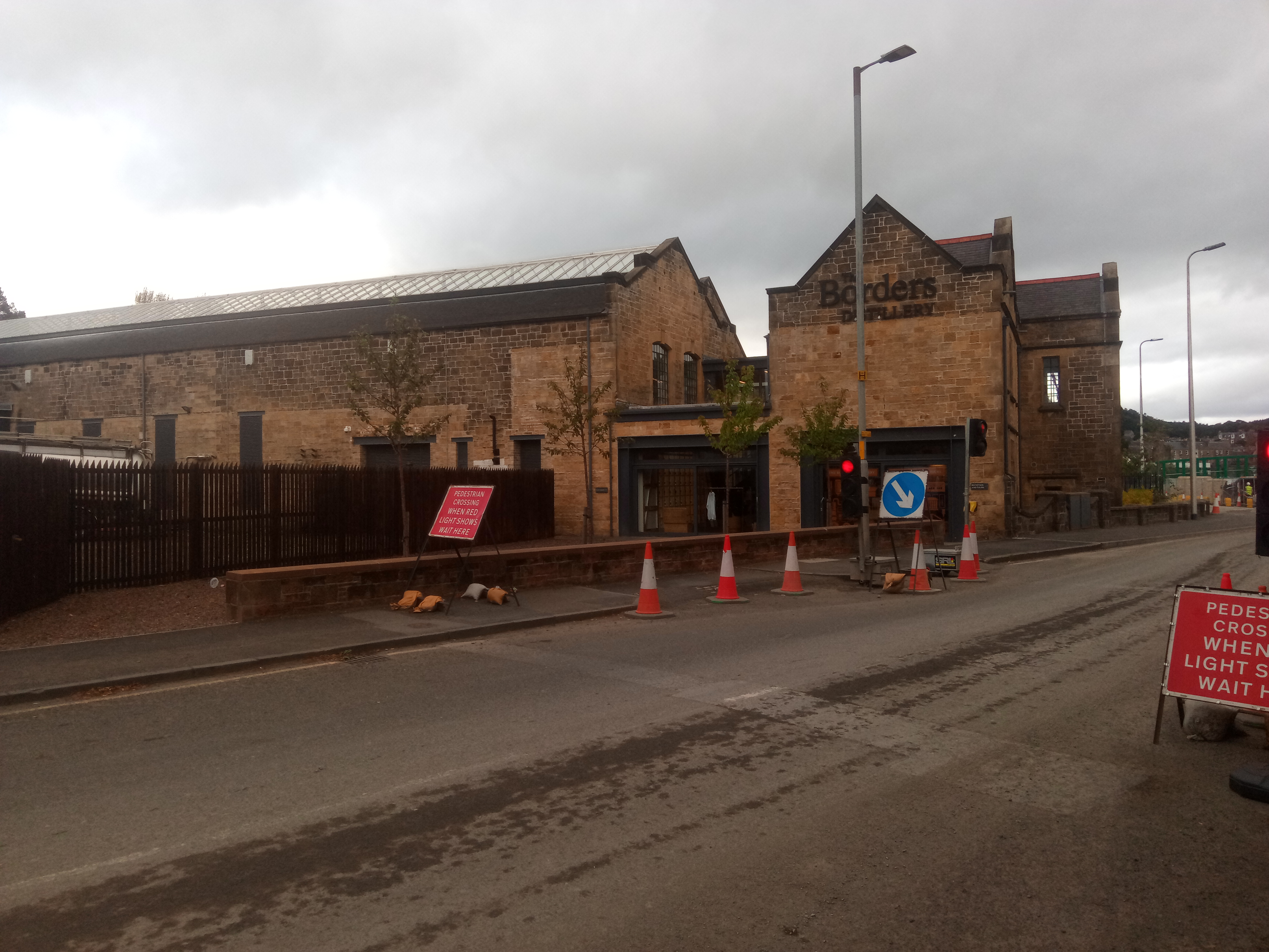
Burnhead Images

Images are sourced within 2km of 55.435422/-2.7759485 or Grid Reference NT5116. Thanks to Geograph Open Source API. All images are credited.

Wheelie bin graveyard above Hawick Green-topped wheelie bins stored at a former landfill site, following Scottish Borders Council's decision to cease kerbside collection of garden waste last year, as an economy measure. Householders now have the option of taking garden waste to recycling sites or paying for collection.
Wheelie bin graveyard above Hawick
Green-topped wheelie bins stored at a former landfill site, following Scottish Borders Council's decision to cease kerbside collection of garden waste last year, as an economy measure. Householders now have the option of taking garden waste to recycling sites or paying for collection.
River Teviot, Hawick Hawick High School on the left.
River Teviot, Hawick
Hawick High School on the left.
Common Haugh, Hawick The car park was empty as it was closed for line work.
Common Haugh, Hawick
The car park was empty as it was closed for line work.
Lawson Bridge, Hawick A little upstream of its predecessor, it is often used by Hawick High School pupils to get their buses on The Haugh.
Lawson Bridge, Hawick
A little upstream of its predecessor, it is often used by Hawick High School pupils to get their buses on The Haugh.
Cauld, Hawick The River Teviot in a relatively benign mood. Note the big shingle bank beneath the cauld.
Cauld, Hawick
The River Teviot in a relatively benign mood. Note the big shingle bank beneath the cauld.
Cauld, Hawick The weir upstream of the town during a spate. All footbridges were closed at the time.
Cauld, Hawick
The weir upstream of the town during a spate. All footbridges were closed at the time.
Teviot in spate After some hours of heavy rain.
Teviot in spate
After some hours of heavy rain.
Cauld, Hawick The Teviot shortly after it flooded the Common Haugh.
Cauld, Hawick
The Teviot shortly after it flooded the Common Haugh.
Flooded path, Hawick A wall gives some protection to Hawick High School as the Teviot rises to the edge of major flooding.
Flooded path, Hawick
A wall gives some protection to Hawick High School as the Teviot rises to the edge of major flooding.
Lawson Bridge, Hawick The river level is dropping after a rapid rise during heavy rain. The Common Haugh had flooded.
Lawson Bridge, Hawick
The river level is dropping after a rapid rise during heavy rain. The Common Haugh had flooded.
Common Haugh, Hawick The school bus for Newcastleton before a fraught journey home.
Common Haugh, Hawick
The school bus for Newcastleton before a fraught journey home.
Buccleuch Road, Hawick
Cauld, Hawick There is a big pile of shingle, deposited by recent spates.
Cauld, Hawick
There is a big pile of shingle, deposited by recent spates.
St Andrew’s Care Home, Hawick This former convent at Stirches has a commanding position overlooking the town of Hawick in the Scottish Borders.
St Andrew’s Care Home, Hawick
This former convent at Stirches has a commanding position overlooking the town of Hawick in the Scottish Borders.
Haugh Car Park This is an unusual car park in a town, in that there was no charge. There is also, according to the signs, a market held here one day a week.
Haugh Car Park
This is an unusual car park in a town, in that there was no charge. There is also, according to the signs, a market held here one day a week.
Lawson Bridge A footbridge over the River Teviot.
Lawson Bridge
A footbridge over the River Teviot.
Teviot Church, Hawick The former St. George's United Free Church.
The architect was J.P. Alison and the church was built 1913-16.
Teviot Church, Hawick
The former St. George's United Free Church. The architect was J.P. Alison and the church was built 1913-16.
Roman Catholic Church of St. Mary and St. David A modest building which barely stands out among its residential and industrial neighbours.
Roman Catholic Church of St. Mary and St. David
A modest building which barely stands out among its residential and industrial neighbours.
Show me another place!

Burnhead is located at Grid Ref: NT5116 (Lat: 55.435422, Lng: -2.7759485)

Unitary Authority: The Scottish Borders

Police Authority: The Lothians and Scottish Borders

What 3 Words

///conquest.emeralds.refills. Near Hawick, Scottish Borders

Related Wikis

Nearby Amenities

Located within 500m of 55.435422,-2.7759485
Created By: Merkaartor 0.12
Lat/Long: 55.4339016/-2.7798735
Bus Stop
The Whins
Naptan AtcoCode: 69001610
Naptan Bearing: NE
Naptan CommonName: The Whins
Naptan Indicator: nr Whins Cottage
Naptan Landmark: Whins Cottage
Naptan NaptanCode: 72789594
Naptan Street: A7
Naptan Verified: no
Shelter: yes
Source: naptan_import
Lat/Long: 55.4384544/-2.7777491
Bus Stop
Wilton Hill
Bus: yes
Naptan AtcoCode: 6900460
Naptan Bearing: N
Naptan CommonName: Wilton Hill
Naptan Indicator: adj Police HQ
Naptan Landmark: Police Headquarters
Naptan NaptanCode: 72723274
Naptan Street: Wilton Hill
Naptan Verified: no
Public Transport: platform
Shelter: yes
Source: naptan_import
Lat/Long: 55.432377/-2.7810116
Bus Stop
Whins Cottage
Bus: yes
Naptan AtcoCode: 6900463
Naptan Bearing: S
Naptan CommonName: Whins Cottage
Naptan Indicator: opp
Naptan NaptanCode: 72723278
Naptan Street: A7
Operator: Scottish Borders Council
Public Transport: platform
Ref: 6900463
Source: NaPTAN
Lat/Long: 55.4377579/-2.7780502
Bus Stop
Silverbuthall Road
Bus: yes
Naptan AtcoCode: 6900862
Naptan Bearing: S
Naptan CommonName: Silverbuthall Road
Naptan Indicator: at Shop
Naptan Landmark: Shop
Naptan NaptanCode: 72725949
Naptan Street: Silverbuthall Road
Naptan Verified: no
Public Transport: platform
Shelter: no
Source: naptan_import
Lat/Long: 55.4343405/-2.7831049
Bus Stop
Silverbuthall Road
Naptan AtcoCode: 6900863
Naptan Bearing: N
Naptan CommonName: Silverbuthall Road
Naptan Indicator: opp shop
Naptan Landmark: Shop
Naptan NaptanCode: 72726297
Naptan Street: Silverbuthall Road
Naptan Verified: no
Source: naptan_import
Lat/Long: 55.4344197/-2.7833751
Bus Stop
Howdenbank
Bus: yes
Naptan AtcoCode: 6900886
Naptan Bearing: S
Naptan CommonName: Howdenbank
Naptan Indicator: o/s 37
Naptan Landmark: Howdenbank
Naptan NaptanCode: 72726523
Naptan Street: Howdenbank
Naptan Verified: no
Public Transport: platform
Shelter: no
Source: naptan_import
Lat/Long: 55.4336365/-2.7821901
Bus Stop
Howdenbank
Naptan AtcoCode: 6900887
Naptan Bearing: N
Naptan CommonName: Howdenbank
Naptan Indicator: o/s Melrose Court
Naptan Landmark: Melrose Court
Naptan NaptanCode: 72726498
Naptan Street: Howdenbank
Naptan Verified: no
Source: naptan_import
Lat/Long: 55.433321/-2.7823419
Bus Stop
Wilton Cemetery
Bus: yes
Naptan AtcoCode: 6900890
Naptan Bearing: S
Naptan CommonName: Wilton Cemetery
Naptan Indicator: o/s Lodge
Naptan Landmark: Wilton Cemetery
Naptan NaptanCode: 72725957
Naptan Street: Burnfoot Road
Naptan Verified: no
Public Transport: platform
Shelter: no
Source: naptan_import
Lat/Long: 55.4330604/-2.7795359
Bus Stop
Wilton Cemetery
Bus: yes
Naptan AtcoCode: 6900891
Naptan Bearing: N
Naptan BusStopType: CUS
Naptan CommonName: Wilton Cemetery
Naptan Indicator: opp Lodge
Naptan Landmark: Wilton Cemetery
Naptan NaptanCode: 72725958
Naptan Street: Burnfoot Road
Naptan Verified: no
Public Transport: platform
Shelter: no
Source: naptan_import
Lat/Long: 55.4331227/-2.7796197
Bus Stop
Burnfoot Road
Bus: yes
Naptan AtcoCode: 6900892
Naptan Bearing: S
Naptan CommonName: Burnfoot Road
Naptan Indicator: Opp Ivanhoe Terrace
Naptan Landmark: Ivanhoe Terrace
Naptan NaptanCode: 72726945
Naptan Street: Burnfoot Road
Naptan Verified: no
Public Transport: platform
Shelter: no
Source: naptan_import
Lat/Long: 55.4330258/-2.7760135
Bus Stop
Burnfoot Road
Bus: yes
Naptan AtcoCode: 6900893
Naptan Bearing: N
Naptan CommonName: Burnfoot Road
Naptan Indicator: nr Ivanhoe Terrace
Naptan Landmark: Ivanhoe Terrace
Naptan NaptanCode: 72726963
Naptan Street: Burnfoot Road
Naptan Verified: no
Public Transport: platform
Shelter: no
Source: naptan_import
Lat/Long: 55.4331829/-2.7758122
Bus Stop
Burnfoot Road
Bus: yes
Naptan AtcoCode: 6900894
Naptan Bearing: N
Naptan CommonName: Burnfoot Road
Naptan Indicator: opp The Meadows
Naptan Landmark: The Meadows
Naptan NaptanCode: 72726956
Naptan Street: Burnfoot Road
Naptan Verified: no
Public Transport: platform
Shelter: no
Source: naptan_import
Lat/Long: 55.4346554/-2.7731543
Bus Stop
Burnfoot Road
Bus: yes
Naptan AtcoCode: 6900895
Naptan Bearing: S
Naptan CommonName: Burnfoot Road
Naptan Indicator: at The Meadows
Naptan Landmark: The Meadows
Naptan NaptanCode: 72726969
Naptan Street: Burnfoot Road
Naptan Verified: no
Public Transport: platform
Shelter: yes
Source: naptan_import
Lat/Long: 55.4347243/-2.7722074
Bus Stop
Burnfoot Shops
Bus: yes
Departures Board: timetable
Local Ref: AT
Naptan AtcoCode: 6900896
Naptan Bearing: N
Naptan CommonName: Shops
Naptan Indicator: At
Naptan Landmark: Bus Shelter
Naptan NaptanCode: 72727286
Naptan Street: Kenilworth Ave
Naptan Verified: no
Operator: Borders Buses
Public Transport: platform
Shelter: yes
Source: naptan_import
Lat/Long: 55.4355733/-2.7689595
Bus Stop
Galalaw Road
Bus: yes
Naptan AtcoCode: 6900902
Naptan Bearing: W
Naptan CommonName: Galalaw Road
Naptan Indicator: o/s 34
Naptan Landmark: Boonraw Road
Naptan NaptanCode: 72727234
Naptan Street: Eildon Road
Naptan Verified: no
Public Transport: platform
Shelter: no
Source: naptan_import
Lat/Long: 55.438514/-2.7721487
Bus Stop
Hillend Drive
Bus: yes
Naptan AtcoCode: 6900903
Naptan Bearing: W
Naptan CommonName: Hillend Drive
Naptan Indicator: o/s 156
Naptan Landmark: Hillend Drive
Naptan NaptanCode: 72726984
Naptan Street: Hillend Drive
Naptan Verified: no
Public Transport: platform
Shelter: no
Source: naptan_import
Lat/Long: 55.4379188/-2.7757628
Bus Stop
Hillend Drive
Bus: yes
Naptan AtcoCode: 6900904
Naptan Bearing: S
Naptan CommonName: Hillend Drive
Naptan Indicator: o/s 108
Naptan Landmark: Hillend Drive
Naptan NaptanCode: 72726979
Naptan Street: Hillend Drive
Naptan Verified: no
Public Transport: platform
Shelter: no
Source: naptan_import
Lat/Long: 55.4365242/-2.7774582
Bus Stop
Hillend Drive
Bus: yes
Naptan AtcoCode: 6900905
Naptan Bearing: E
Naptan CommonName: Hillend Drive
Naptan Indicator: opp 39
Naptan Landmark: Hillend Drive
Naptan NaptanCode: 72726975
Naptan Street: Hillend Drive
Naptan Verified: no
Public Transport: platform
Shelter: no
Source: naptan_import
Lat/Long: 55.4355885/-2.7762229
Bus Stop
Fraser Avenue
Bus: yes
Naptan AtcoCode: 6900906
Naptan Bearing: E
Naptan CommonName: Fraser Avenue
Naptan Indicator: Bus Shelter
Naptan Landmark: Hillend Drive
Naptan NaptanCode: 72726985
Naptan Street: Fraser Avenue
Naptan Verified: no
Public Transport: platform
Shelter: yes
Source: naptan_import
Lat/Long: 55.4369042/-2.7742256
Bus Stop
Fraser Avenue
Bus: yes
Naptan AtcoCode: 6900907
Naptan Bearing: E
Naptan CommonName: Fraser Avenue
Naptan Indicator: Ruberslaw Road
Naptan Landmark: Ruberslaw Road
Naptan NaptanCode: 72726987
Naptan Street: Fraser Avenue
Naptan Verified: no
Public Transport: platform
Shelter: no
Source: naptan_import
Lat/Long: 55.4366742/-2.7707914
Noexit: yes
Lat/Long: 55.4358313/-2.7820455
Noexit: yes
Lat/Long: 55.4375057/-2.7793078
Noexit: yes
Lat/Long: 55.4366171/-2.7814495
Noexit: yes
Lat/Long: 55.4319/-2.7798119
Noexit: yes
Lat/Long: 55.431818/-2.778165
Noexit: yes
Lat/Long: 55.4328371/-2.7807014
Noexit: yes
Lat/Long: 55.4331003/-2.7809614
Noexit: yes
Lat/Long: 55.4326453/-2.7810945
Post Office
Burnfoot Post Office
Addr City: Hawick
Addr Country: GB
Addr Housenumber: 5
Addr Postcode: TD9 8EG
Addr Street: Kenilworth Avenue
Addr Village: Burnfoot
Opening Hours: Mo-Fr 07:00-17:30; Sa 07:00-16:30
Ref Pol Id: 3180
Source: Local knowledge
Lat/Long: 55.4356232/-2.7694352
Give Way
Direction: backward
Lat/Long: 55.4385787/-2.7772598
Burnfoot
Name Gd: Bun na h-Aibhne
Name Sco: Burnfit
Place: suburb
Wikidata: Q4999714
Wikipedia: en:Burnfoot, Scottish Borders
Lat/Long: 55.4355576/-2.7687179
Noexit: yes
Lat/Long: 55.4351843/-2.7806251
The wee shop
Addr Street: Silverbuthall Road
Name En: The wee shop
Shop: convenience
Lat/Long: 55.4343016/-2.7831849
Give Way
Direction: forward
Lat/Long: 55.4324636/-2.7804825
Crossing
Crossing: unmarked
Crossing Island: yes
Tactile Paving: yes
Lat/Long: 55.4381338/-2.7779056
Pharmacy
Borders Pharmacy
Addr City: Hawick
Addr Housenumber: 11-13
Addr Postcode: TD9 8EG
Addr Street: Kenilworth Avenue
Dispensing: yes
Drive Through: no
Healthcare: pharmacy
Operator: Borders Pharmacy
Website: https://borderspharmacy.co.uk/
Lat/Long: 55.4354942/-2.7694294
Fast Food
Tony's Takeaway
Addr City: Hawick
Addr Housenumber: 15
Addr Postcode: TD9 8EG
Addr Street: Kenilworth Avenue
Cuisine: fish_and_chips
Delivery: yes
Drive Through: no
Internet Access: no
Outdoor Seating: no
Phone: +44 1450 378943
Website: https://tonystakeawayhawick.co.uk/Menu
Lat/Long: 55.4357924/-2.7694316
Noexit: yes
Lat/Long: 55.43472/-2.7804598
Dorota's Wonder Cakes
Addr City: Hawick
Addr Housenumber: 25
Addr Postcode: TD9 8EY
Addr Street: Ruberslaw Road
Description: Cake baker
Phone: +44 7928 969787
Shop: bakery
Website: https://dorotaswondercakes.co.uk/
Lat/Long: 55.4374373/-2.7726882
Forever Scotland
Addr City: Hawick
Addr Housenumber: 22
Addr Postcode: TD9 8EZ
Addr Street: Leishman Place
Office: consulting
Opening Hours Covid19: closed
Website: http://www.foreverscotland.co.uk/
Lat/Long: 55.4379082/-2.7721378
A1 Taxis Hawick
Addr City: Hawick
Addr Housenumber: 9
Addr Postcode: TD9 8DR
Addr Street: Boonraw Road
Office: transport
Phone: +44 7707 480147
Website: http://a1taxis-hawick.co.uk/
Lat/Long: 55.4391916/-2.7720704
Give Way
Direction: forward
Lat/Long: 55.4375706/-2.7802858
Give Way
Direction: forward
Lat/Long: 55.4326654/-2.7800692
Noexit: yes
Lat/Long: 55.4369557/-2.7794454
Generator Method: photovoltaic
Generator Output Electricity: yes
Generator Source: solar
Generator Type: solar_photovoltaic_panel
Power: generator
Lat/Long: 55.4324719/-2.7792619
Noexit: yes
Lat/Long: 55.4393823/-2.7793587
Noexit: yes
Lat/Long: 55.4395179/-2.7790954
Noexit: yes
Lat/Long: 55.4367867/-2.7814283
Noexit: yes
Lat/Long: 55.4373496/-2.7794412
Noexit: yes
Lat/Long: 55.4360989/-2.7806006
Give Way
Direction: forward
Lat/Long: 55.4376289/-2.7785149
Generator Method: photovoltaic
Generator Output Electricity: yes
Generator Source: solar
Generator Type: solar_photovoltaic_panel
Power: generator
Lat/Long: 55.4362313/-2.7800607
Power: pole
Lat/Long: 55.437826/-2.7800044
Power: pole
Lat/Long: 55.4385724/-2.7788973
Power: pole
Lat/Long: 55.4390041/-2.779699
The data included in this document is from www.openstreetmap.org. The data is made available under ODbL.

Have you been to Burnhead?

Leave your review of Burnhead below (or comments, questions and feedback).