Burnfoot

Settlement in Dumfriesshire

Scotland

Burnfoot

Road Closed at Eaglesfield The B722 to Waterbeck closed for 3 months for carriageway strengthening; so from here to Waterbeck is over 7km, rather than 3km, on a much rougher, unclassified, road - how annoying!
Road Closed at Eaglesfield Credit: M J Richardson

Burnfoot is a small rural village located in the county of Dumfriesshire, Scotland. Situated in the southern part of the country, it lies about 10 miles southeast of Dumfries, the county town. The village is nestled amidst picturesque countryside, offering residents and visitors stunning views of rolling hills and picturesque landscapes.

With a population of around 300 people, Burnfoot retains a close-knit community atmosphere. The village primarily consists of residential properties, characterized by traditional stone-built houses that add to its charm. The area is known for its peaceful and idyllic setting, attracting those seeking a tranquil and serene lifestyle away from the hustle and bustle of urban areas.

While Burnfoot is primarily a residential community, it benefits from its proximity to nearby towns and cities. Dumfries, the largest nearby urban center, provides residents with access to a wide range of amenities, including schools, healthcare facilities, and shopping centers. The village is also well-connected to the surrounding areas through a network of roads, making it easily accessible for commuters and visitors alike.

Nature enthusiasts are drawn to Burnfoot due to its proximity to several outdoor attractions. The area offers numerous opportunities for outdoor activities, such as hiking, cycling, and fishing. The nearby Caerlaverock Castle and the Dumfries and Galloway coastline provide additional recreational options for residents and tourists to explore.

Overall, Burnfoot is a charming village in Dumfriesshire that offers a peaceful and scenic environment, making it an attractive place to live for those seeking a rural lifestyle with easy access to nearby amenities and natural beauty.

If you have any feedback on the listing, please let us know in the comments section below.
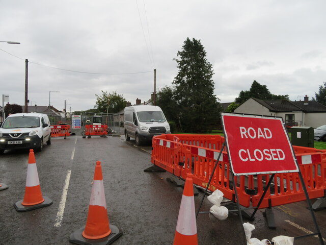
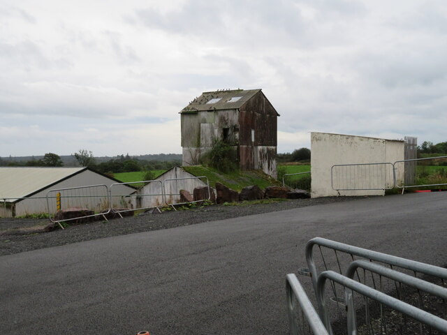
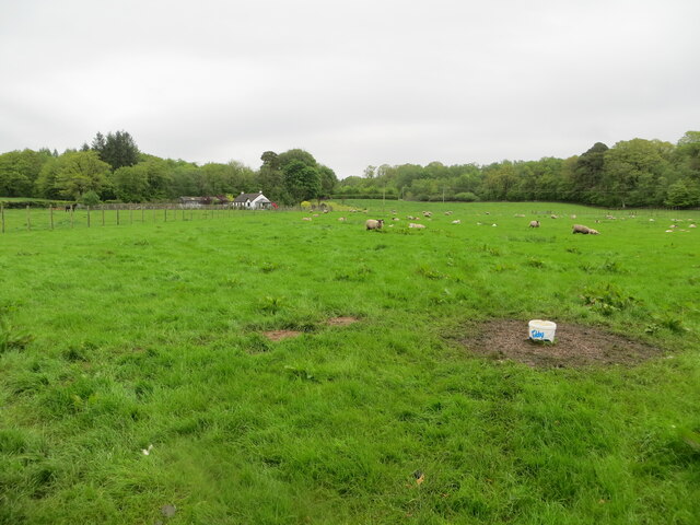
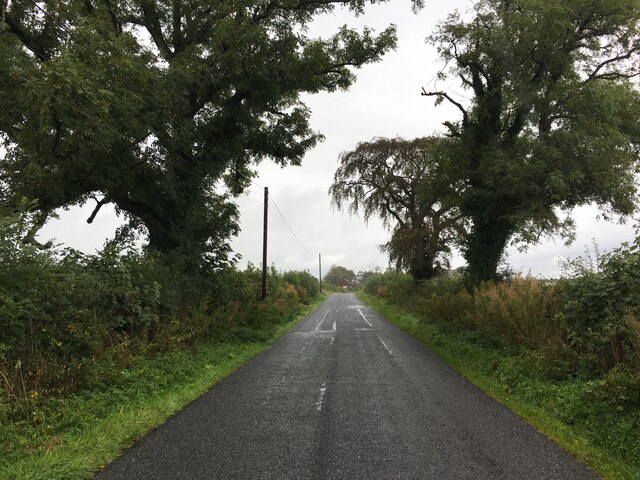
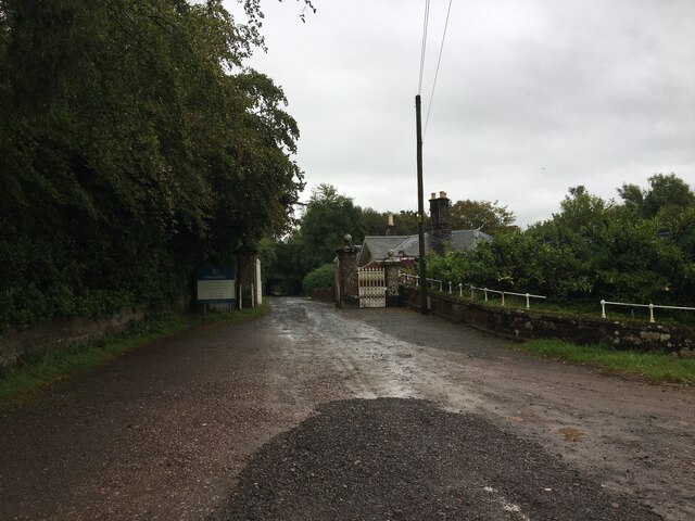
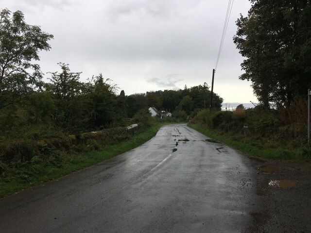
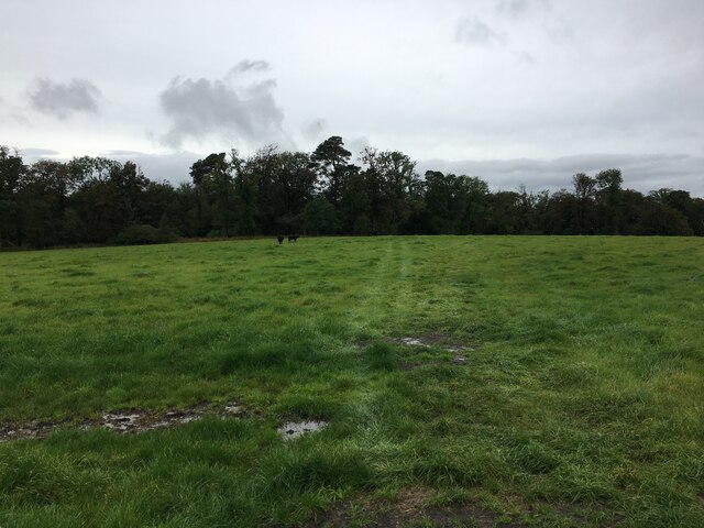
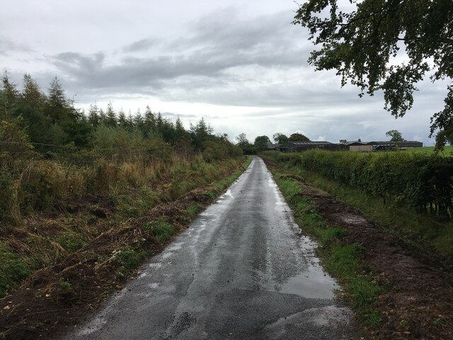
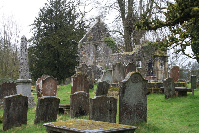
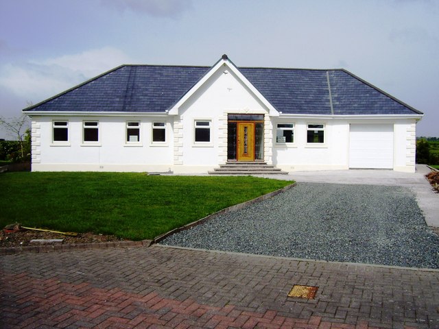
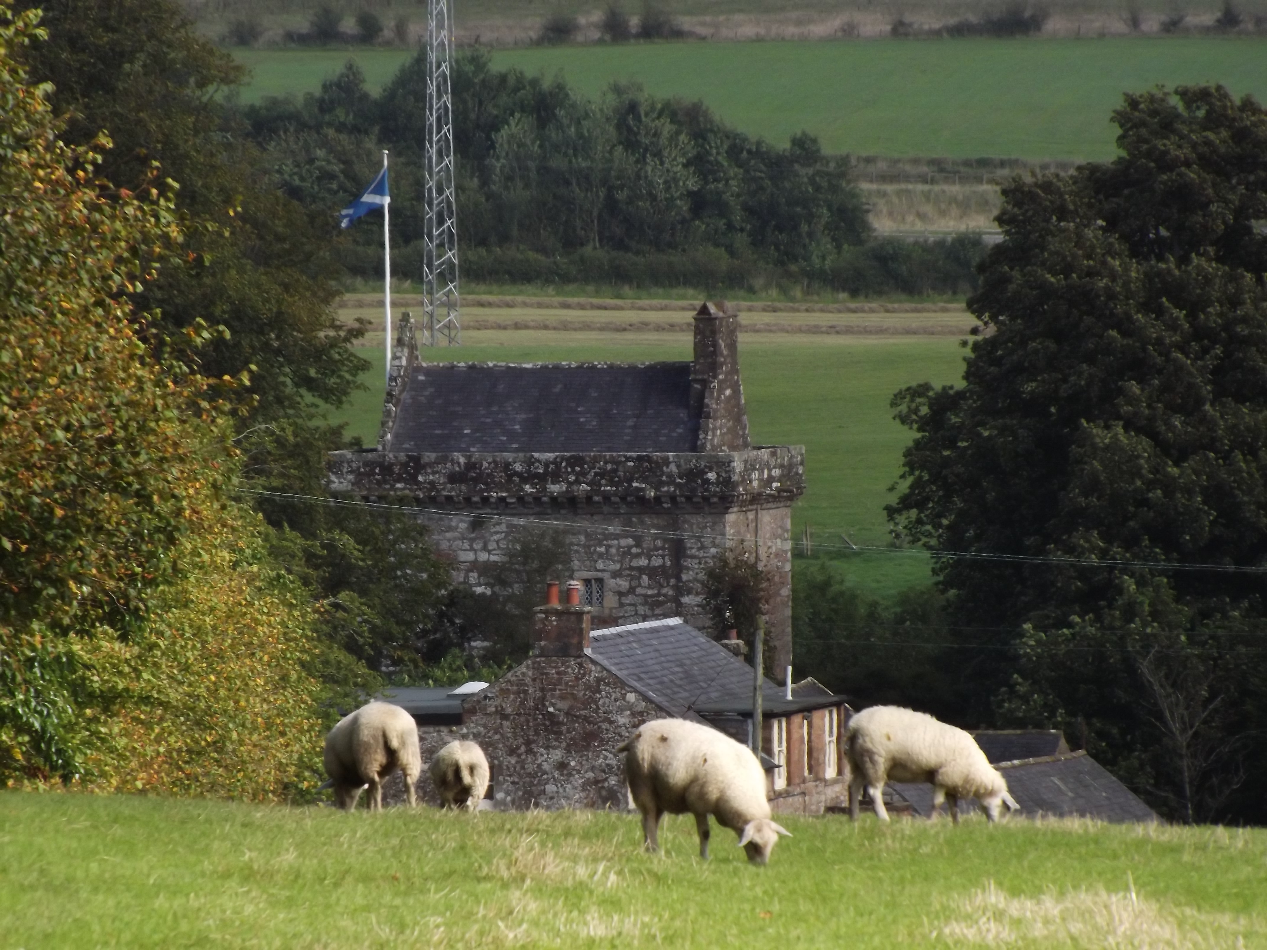
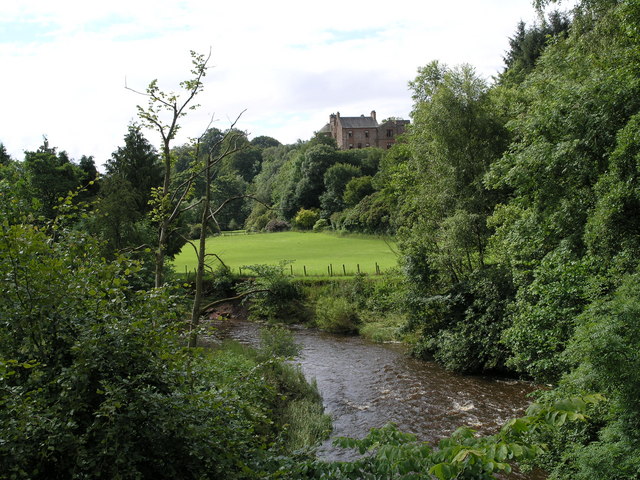
Burnfoot Images

Images are sourced within 2km of 55.059895/-3.1721606 or Grid Reference NY2574. Thanks to Geograph Open Source API. All images are credited.

Road Closed at Eaglesfield The B722 to Waterbeck closed for 3 months for carriageway strengthening; so from here to Waterbeck is over 7km, rather than 3km, on a much rougher, unclassified, road - how annoying!
Road Closed at Eaglesfield
The B722 to Waterbeck closed for 3 months for carriageway strengthening; so from here to Waterbeck is over 7km, rather than 3km, on a much rougher, unclassified, road - how annoying!
Cottage  at Blackwoodridge On the B722 and possibly associated with the old quarry here.
Cottage at Blackwoodridge
On the B722 and possibly associated with the old quarry here.
Works at Blackwoodridge On the site of an old quarry.
Works at Blackwoodridge
On the site of an old quarry.
Pastureland hosting sheep and their lambs Looking northward.
Pastureland hosting sheep and their lambs
Looking northward.
Track in field near Blackwoodridge
Minor road near Kirtlebridge
Entrance to Springkell
Minor road near Eaglesfield
Field near Blackcleugh
Recent drainage works beside road near Sharkshields Farm
Kirkconnel Churchyard The ruins of the kirk associated with the tragedy of 'Fair Helen'.
Kirkconnel Churchyard
The ruins of the kirk associated with the tragedy of 'Fair Helen'.
Play area, Eaglesfield
New house, Croft Manor, Eaglesfield
Track leading to the road Near Bakethin Bridge.
Track leading to the road
Near Bakethin Bridge.
Woodland edge and wet grassland This grassland looks to have been improved at some stage but then allowed to revert to its more natural state.
Woodland edge and wet grassland
This grassland looks to have been improved at some stage but then allowed to revert to its more natural state.
Rough track to Dick's Rig Runs through an area of rough grazing.
Rough track to Dick's Rig
Runs through an area of rough grazing.
Wall by the roadside to Burnfoot
Show me another place!

Burnfoot is located at Grid Ref: NY2574 (Lat: 55.059895, Lng: -3.1721606)

Unitary Authority: Dumfries and Galloway

Police Authority: Dumfries and Galloway

What 3 Words

///outcasts.branching.younger. Near Eastriggs, Dumfries & Galloway

Related Wikis

Eaglesfield, Dumfries and Galloway

Eaglesfield is a village in south east Dumfriesshire in the local authority area of Dumfries and Galloway, Scotland. == History == Eaglesfield is of ancient...

Kirtlebridge

Kirtlebridge is a village in Dumfries and Galloway, southern Scotland. It is located 8 kilometres (5.0 mi) north-east of Annan, 5 kilometres (3.1 mi) north...

Bonshaw Tower

Bonshaw Tower is an oblong tower house, probably dating from the mid-16th century, one mile south of Kirtlebridge, Dumfries and Galloway, Scotland, above...

Kirtlebridge railway station

Kirtlebridge railway station was a station which served the rural area around Kirtlebridge and Eaglesfield, north of Annan in Dumfriesshire, Scotland;...

Kirtlebridge rail crash

The Kirtlebridge rail crash took place in 1872 at Kirtlebridge railway station in Dumfriesshire. An express passenger train ran into a goods train that...

Robgill Tower

Robgill Tower is a tower house near Kirkpatrick Fleming on the banks of the river Kirtle. It was one of a number of towers built along the border as protection...

Broadlea henge

Broadlea henge (grid reference NY 21946 74651) is a Neolithic or Bronze Age monument in the parish of Middlebie, Dumfries and Galloway. It is one of very...

Blatobulgium

Blatobulgium was a Roman fort, located at the modern-day site known as Birrens, in Dumfriesshire, Scotland. == Name == Blatobulgium is recorded in the...

Nearby Amenities

Located within 500m of 55.059895,-3.1721606
Created By: Merkaartor 0.13
Lat/Long: 55.0588782/-3.1733964
Created By: Merkaartor 0.13
Lat/Long: 55.0584179/-3.1731977
Created By: Merkaartor 0.13
Lat/Long: 55.0580792/-3.1732283
Created By: Merkaartor 0.13
Lat/Long: 55.0572456/-3.1737327
Created By: Merkaartor 0.13
Lat/Long: 55.056959/-3.1744053
Created By: Merkaartor 0.13
Lat/Long: 55.0561861/-3.1753989
Burnfoot
Naptan AtcoCode: 680000238515
Naptan Bearing: SE
Naptan BusStopType: CUS
Naptan CommonName: Burnfoot
Naptan Indicator: Road End
Naptan Landmark: C63
Naptan NaptanCode: 34237494
Naptan Notes: none
Naptan Street: C62
Naptan Verified: no
Source: naptan_import
Lat/Long: 55.059321/-3.1736319
Burnfoot
Naptan AtcoCode: 680000238516
Naptan Bearing: NW
Naptan BusStopType: CUS
Naptan CommonName: Burnfoot
Naptan Indicator: opp Road End
Naptan Landmark: C63
Naptan NaptanCode: 34237495
Naptan Notes: none
Naptan Street: C62
Naptan Verified: no
Source: naptan_import
Lat/Long: 55.0592567/-3.1737709
Power: pole
Lat/Long: 55.0577747/-3.1784519
Power: pole
Lat/Long: 55.0582055/-3.1770223
Power: pole
Lat/Long: 55.0590937/-3.1763113
Power: pole
Lat/Long: 55.059998/-3.1755746
Power: pole
Lat/Long: 55.0608847/-3.1748173
Power: pole
Lat/Long: 55.0609673/-3.1732872
Power: pole
Lat/Long: 55.0610661/-3.1717519
Power: pole
Lat/Long: 55.0611355/-3.1705644
Power: pole
Lat/Long: 55.0612092/-3.1692532
Power: pole
Lat/Long: 55.0612889/-3.1679446
Power: pole
Lat/Long: 55.0621556/-3.1672762
Power: pole
Lat/Long: 55.0630333/-3.166591
Power: pole
Lat/Long: 55.0599066/-3.1747374
Power: pole
Lat/Long: 55.0598151/-3.1739183
Power: pole
Lat/Long: 55.0594404/-3.1736426
Power: pole
Lat/Long: 55.0591143/-3.1734056
The data included in this document is from www.openstreetmap.org. The data is made available under ODbL.

Have you been to Burnfoot?

Leave your review of Burnfoot below (or comments, questions and feedback).