Chalkyhill Wood
Wood, Forest in Dumfriesshire
Scotland
Chalkyhill Wood
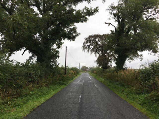
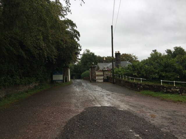
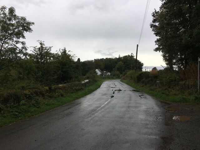
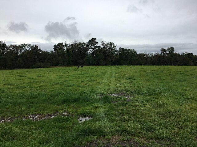
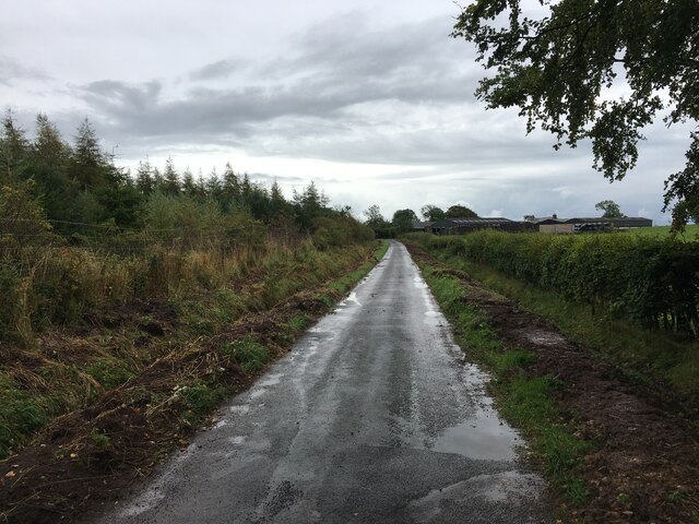
Chalkyhill Wood is a picturesque forest located in Dumfriesshire, Scotland. Situated in the scenic countryside, this wood offers a tranquil and serene environment for nature enthusiasts and hikers alike. Covering an area of approximately 100 acres, Chalkyhill Wood is home to a diverse range of flora and fauna.
The wood features a variety of tree species, including oak, beech, and birch, which create a dense canopy that provides shade and shelter. The forest floor is adorned with a carpet of vibrant wildflowers, adding bursts of color to the landscape during the spring and summer months.
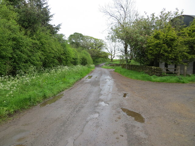
Several well-maintained trails wind through Chalkyhill Wood, allowing visitors to explore its natural beauty at their own pace. These pathways offer opportunities for both leisurely strolls and more challenging hikes. Along the way, hikers may come across charming streams and small ponds, which serve as watering holes for the local wildlife.
Birdwatchers will delight in the abundance of avian species that inhabit Chalkyhill Wood. From songbirds to woodpeckers, the forest is a haven for many bird species, providing a delightful symphony of chirping and tweeting throughout the year.
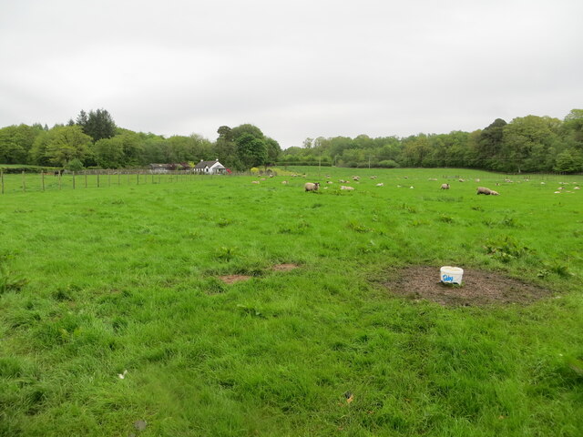
Chalkyhill Wood is also home to a variety of mammals, including deer, foxes, and rabbits. Wildlife enthusiasts may catch glimpses of these animals as they explore the forest. Additionally, the wood is known for its population of red squirrels, a beloved and endangered species in the United Kingdom.
Overall, Chalkyhill Wood offers a peaceful retreat for nature lovers, providing a sanctuary to connect with the natural world and appreciate the beauty of Dumfriesshire's countryside.
If you have any feedback on the listing, please let us know in the comments section below.
Chalkyhill Wood Images
Images are sourced within 2km of 55.061524/-3.1625477 or Grid Reference NY2574. Thanks to Geograph Open Source API. All images are credited.


Chalkyhill Wood is located at Grid Ref: NY2574 (Lat: 55.061524, Lng: -3.1625477)
Unitary Authority: Dumfries and Galloway
Police Authority: Dumfries and Galloway
What 3 Words
///love.obstruct.offline. Near Eastriggs, Dumfries & Galloway
Nearby Locations
Related Wikis

Eaglesfield, Dumfries and Galloway
Eaglesfield is a village in south east Dumfriesshire in the local authority area of Dumfries and Galloway, Scotland. == History == Eaglesfield is of ancient...

Kirtlebridge
Kirtlebridge is a village in Dumfries and Galloway, southern Scotland. It is located 8 kilometres (5.0 mi) north-east of Annan, 5 kilometres (3.1 mi) north...
Bonshaw Tower
Bonshaw Tower is an oblong tower house, probably dating from the mid-16th century, one mile south of Kirtlebridge, Dumfries and Galloway, Scotland, above...
Robgill Tower
Robgill Tower is a tower house near Kirkpatrick Fleming on the banks of the river Kirtle. It was one of a number of towers built along the border as protection...

Kirtlebridge railway station
Kirtlebridge railway station was a station which served the rural area around Kirtlebridge and Eaglesfield, north of Annan in Dumfriesshire, Scotland;...

Kirtlebridge rail crash
The Kirtlebridge rail crash took place in 1872 at Kirtlebridge railway station in Dumfriesshire. An express passenger train ran into a goods train that...
Broadlea henge
Broadlea henge (grid reference NY 21946 74651) is a Neolithic or Bronze Age monument in the parish of Middlebie, Dumfries and Galloway. It is one of very...

Blatobulgium
Blatobulgium was a Roman fort, located at the modern-day site known as Birrens, in Dumfriesshire, Scotland. == Name == Blatobulgium is recorded in the...
Nearby Amenities
Located within 500m of 55.061524,-3.1625477Have you been to Chalkyhill Wood?
Leave your review of Chalkyhill Wood below (or comments, questions and feedback).