Burnfoothill Wood

Wood, Forest in Dumfriesshire

Scotland

Burnfoothill Wood

Bridge over A74(M)
Bridge over A74(M) Credit: Alpin Stewart

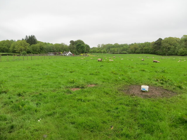
Burnfoothill Wood is a picturesque woodland located in Dumfriesshire, Scotland. Spread over a vast area, this forest offers visitors a serene and tranquil environment to escape the hustle and bustle of everyday life. The wood is situated at the foothills of the scenic Burnfoothill hills, hence its name.

The wood is predominantly made up of a variety of native tree species, including oak, ash, birch, and Scots pine. These trees provide a lush canopy that filters the sunlight and creates a cool and shaded atmosphere within the forest. The forest floor is adorned with a rich carpet of mosses, ferns, and wildflowers, adding to its natural beauty.

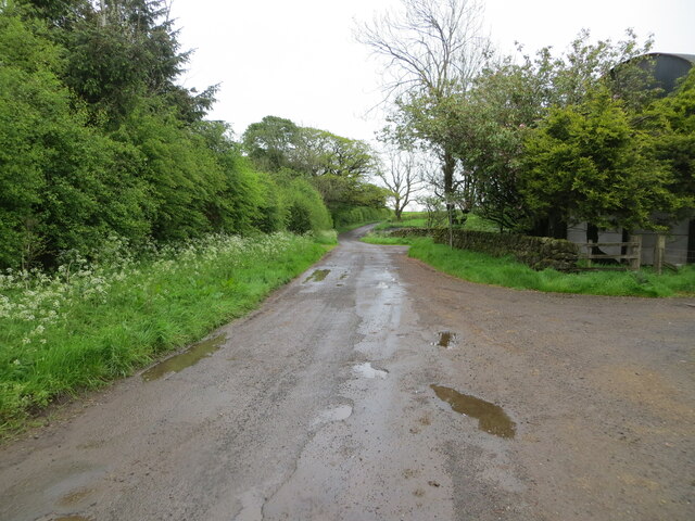
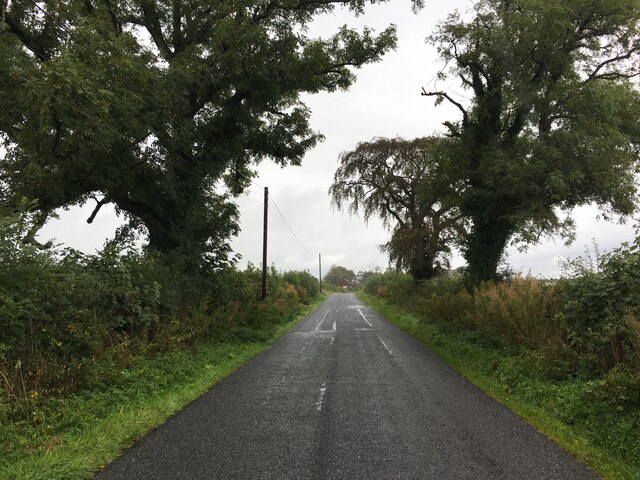
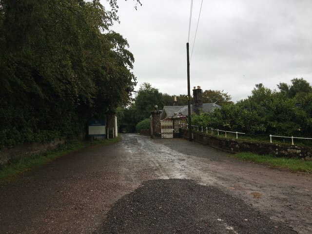
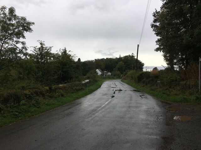
Several well-maintained trails wind through Burnfoothill Wood, allowing visitors to explore its enchanting surroundings. These trails are suitable for both walking and cycling, making it an ideal destination for outdoor enthusiasts. Along the way, visitors can discover hidden glens, cascading waterfalls, and small streams that meander through the forest.

The wood is home to a diverse range of wildlife, including deer, foxes, badgers, and numerous bird species. Birdwatchers can catch glimpses of woodpeckers, owls, and various songbirds. The forest also supports a thriving population of squirrels, which can be spotted darting among the treetops.

Visitors to Burnfoothill Wood can enjoy a picnic in one of the designated areas or simply sit on one of the many benches scattered throughout the forest to soak in the natural beauty. The wood is a popular destination for nature lovers and photography enthusiasts, offering breathtaking vistas and ample opportunities for capturing stunning images.

If you have any feedback on the listing, please let us know in the comments section below.

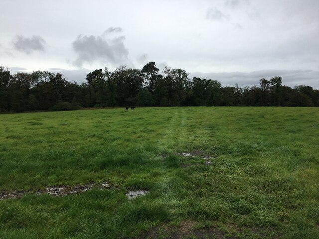
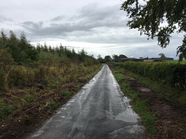
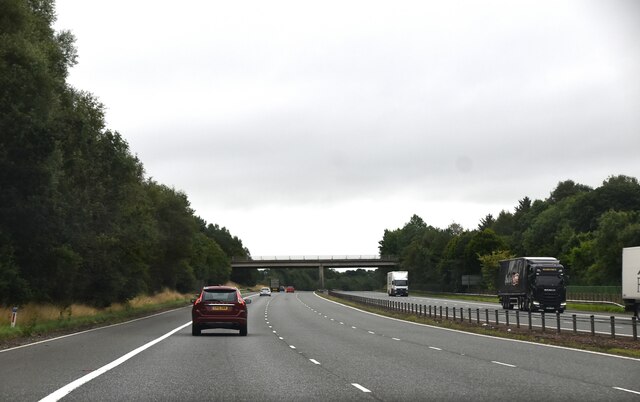
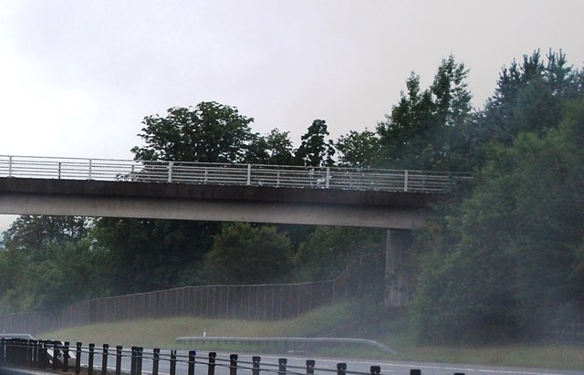
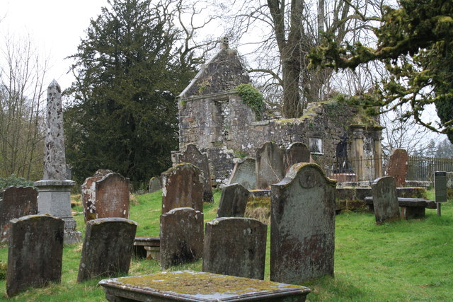
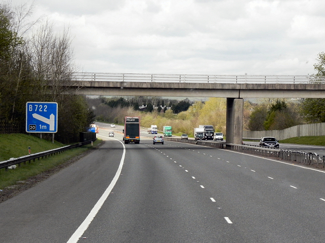
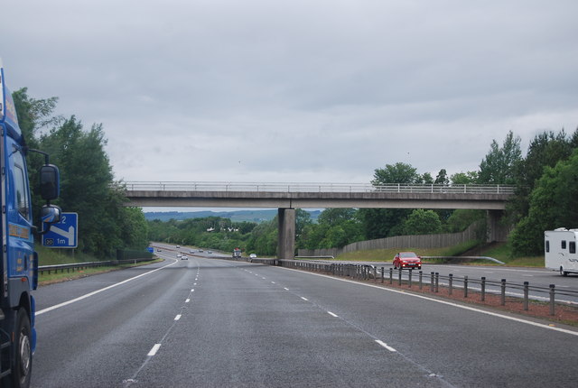
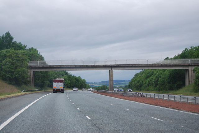
Burnfoothill Wood Images

Images are sourced within 2km of 55.055275/-3.1667029 or Grid Reference NY2574. Thanks to Geograph Open Source API. All images are credited.

Bridge over A74(M)
Bridge over A74(M)
Road Closed at Eaglesfield The B722 to Waterbeck closed for 3 months for carriageway strengthening; so from here to Waterbeck is over 7km, rather than 3km, on a much rougher, unclassified, road - how annoying!
Road Closed at Eaglesfield
The B722 to Waterbeck closed for 3 months for carriageway strengthening; so from here to Waterbeck is over 7km, rather than 3km, on a much rougher, unclassified, road - how annoying!
Minor road at Sharksfields Looking eastward.
Minor road at Sharksfields
Looking eastward.
Pastureland hosting sheep and their lambs Looking northward.
Pastureland hosting sheep and their lambs
Looking northward.
Ordnance Survey Cut Mark This mark can be found on the wall of a barn at Sharksfields.
The recorded details give a height of 89.958 metres above sea level.
For more detail see : <span class="nowrap"><a title="https://www.bench-marks.org.uk/bm171813" rel="nofollow ugc noopener" href="https://www.bench-marks.org.uk/bm171813">Link</a><img style="margin-left:2px;" alt="External link" title="External link - shift click to open in new window" src="https://s1.geograph.org.uk/img/external.png" width="10" height="10"/></span>
Ordnance Survey Cut Mark
This mark can be found on the wall of a barn at Sharksfields. The recorded details give a height of 89.958 metres above sea level. For more detail see : LinkExternal link
Minor road near Kirtlebridge
Entrance to Springkell
Minor road near Eaglesfield
Field near Blackcleugh
Recent drainage works beside road near Sharkshields Farm
A74(M), southbound The A74(M) & M74  run over 80 miles from the M6 at the Scottish border near Gretna to the M8 at Glasgow. This is one of the two most important routeways into Scotland from the south. The last stretch of the M74 opened in 2011 (see <a title="https://www.geograph.org.uk/snippet/590" href="https://www.geograph.org.uk/snippet/590">Link</a> ).
Wikipedia: <span class="nowrap"><a title="http://en.wikipedia.org/wiki/A74(M)_and_M74_motorways" rel="nofollow ugc noopener" href="http://en.wikipedia.org/wiki/A74(M)_and_M74_motorways">Link</a><img style="margin-left:2px;" alt="External link" title="External link - shift click to open in new window" src="https://s1.geograph.org.uk/img/external.png" width="10" height="10"/></span>
A74(M), southbound
The A74(M) & M74 run over 80 miles from the M6 at the Scottish border near Gretna to the M8 at Glasgow. This is one of the two most important routeways into Scotland from the south. The last stretch of the M74 opened in 2011 (see Link ). Wikipedia: LinkExternal link
Bridge over the A74(M) near Kirtlebridge The A74(M) & M74  run over 80 miles from the M6 at the Scottish border near Gretna to the M8 at Glasgow. This is one of the two most important routeways into Scotland from the south. The last stretch of the M74 opened in 2011 (see <a title="https://www.geograph.org.uk/snippet/590" href="https://www.geograph.org.uk/snippet/590">Link</a> ).
Wikipedia: <span class="nowrap"><a title="http://en.wikipedia.org/wiki/A74(M)_and_M74_motorways" rel="nofollow ugc noopener" href="http://en.wikipedia.org/wiki/A74(M)_and_M74_motorways">Link</a><img style="margin-left:2px;" alt="External link" title="External link - shift click to open in new window" src="https://s1.geograph.org.uk/img/external.png" width="10" height="10"/></span>
Bridge over the A74(M) near Kirtlebridge
The A74(M) & M74 run over 80 miles from the M6 at the Scottish border near Gretna to the M8 at Glasgow. This is one of the two most important routeways into Scotland from the south. The last stretch of the M74 opened in 2011 (see Link ). Wikipedia: LinkExternal link
Kirkconnel Churchyard The ruins of the kirk associated with the tragedy of 'Fair Helen'.
Kirkconnel Churchyard
The ruins of the kirk associated with the tragedy of 'Fair Helen'.
A74(M) Kirtlebridge
A74(M) Kirtlebridge
A74(M), overbridge near Kirtlebridge The A74(M) & M74  run over 80 miles from the M6 at the Scottish border near Gretna to the M8 at Glasgow. This is one of the two most important routeways into Scotland from the south. The last stretch of the M74 opened in 2011 (see <a title="https://www.geograph.org.uk/snippet/590" href="https://www.geograph.org.uk/snippet/590">Link</a> ).
Wikipedia: <span class="nowrap"><a title="http://en.wikipedia.org/wiki/A74(M)_and_M74_motorways" rel="nofollow ugc noopener" href="http://en.wikipedia.org/wiki/A74(M)_and_M74_motorways">Link</a><img style="margin-left:2px;" alt="External link" title="External link - shift click to open in new window" src="https://s1.geograph.org.uk/img/external.png" width="10" height="10"/></span>
A74(M), overbridge near Kirtlebridge
The A74(M) & M74 run over 80 miles from the M6 at the Scottish border near Gretna to the M8 at Glasgow. This is one of the two most important routeways into Scotland from the south. The last stretch of the M74 opened in 2011 (see Link ). Wikipedia: LinkExternal link
Bridge over the A74(M)
A74(M) southbound
A74(M) southbound
New house, Croft Manor, Eaglesfield
Show me another place!

Burnfoothill Wood is located at Grid Ref: NY2574 (Lat: 55.055275, Lng: -3.1667029)

Unitary Authority: Dumfries and Galloway

Police Authority: Dumfries and Galloway

What 3 Words

///targeted.clapper.cave. Near Eastriggs, Dumfries & Galloway

Related Wikis

Eaglesfield, Dumfries and Galloway

Eaglesfield is a village in south east Dumfriesshire in the local authority area of Dumfries and Galloway, Scotland. == History == Eaglesfield is of ancient...

Kirtlebridge

Kirtlebridge is a village in Dumfries and Galloway, southern Scotland. It is located 8 kilometres (5.0 mi) north-east of Annan, 5 kilometres (3.1 mi) north...
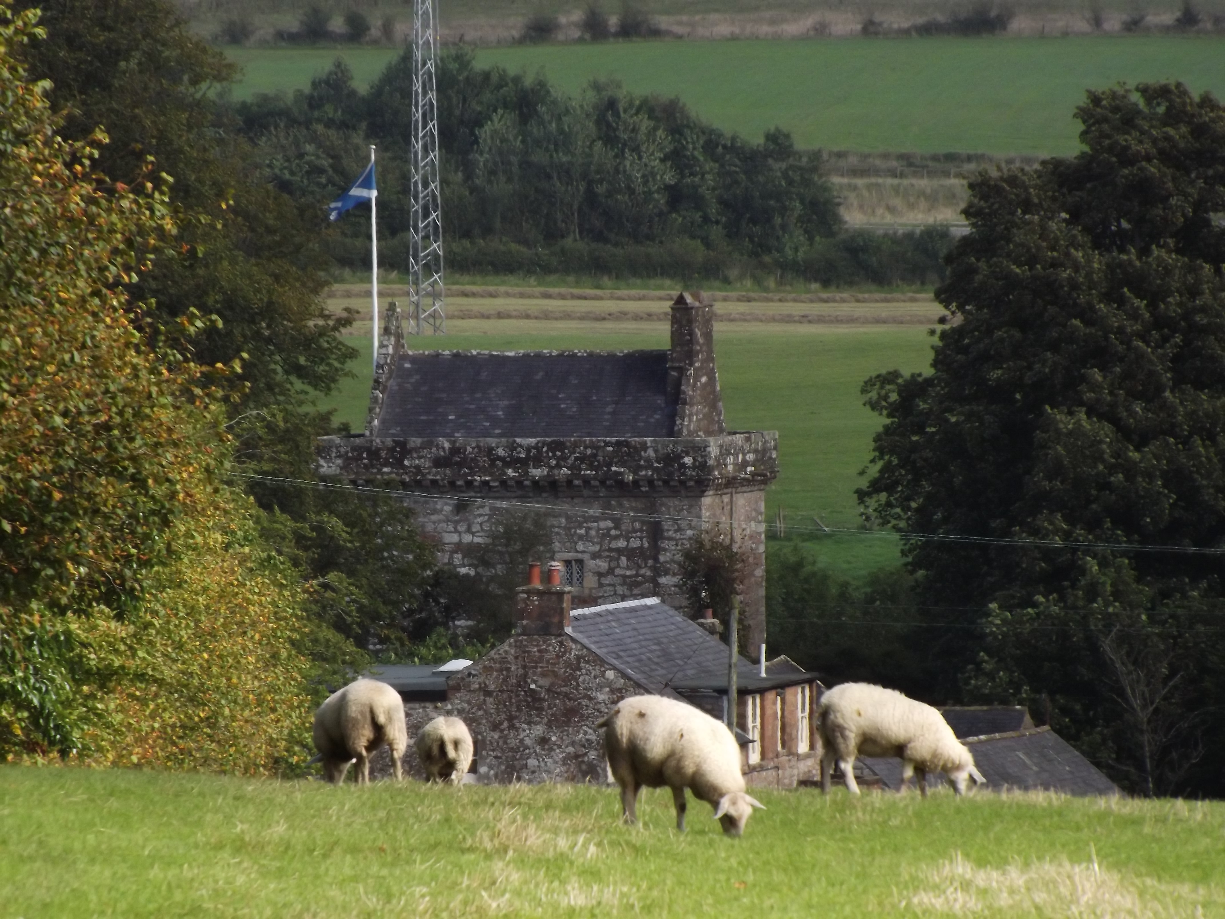
Bonshaw Tower

Bonshaw Tower is an oblong tower house, probably dating from the mid-16th century, one mile south of Kirtlebridge, Dumfries and Galloway, Scotland, above...
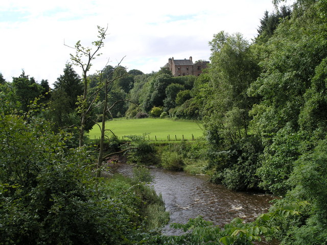
Robgill Tower

Robgill Tower is a tower house near Kirkpatrick Fleming on the banks of the river Kirtle. It was one of a number of towers built along the border as protection...

Nearby Amenities

Located within 500m of 55.055275,-3.1667029
Created By: Merkaartor 0.13
Lat/Long: 55.0572456/-3.1737327
The data included in this document is from www.openstreetmap.org. The data is made available under ODbL.

Have you been to Burnfoothill Wood?

Leave your review of Burnfoothill Wood below (or comments, questions and feedback).