Blackhouse Forest
Wood, Forest in Selkirkshire
Scotland
Blackhouse Forest

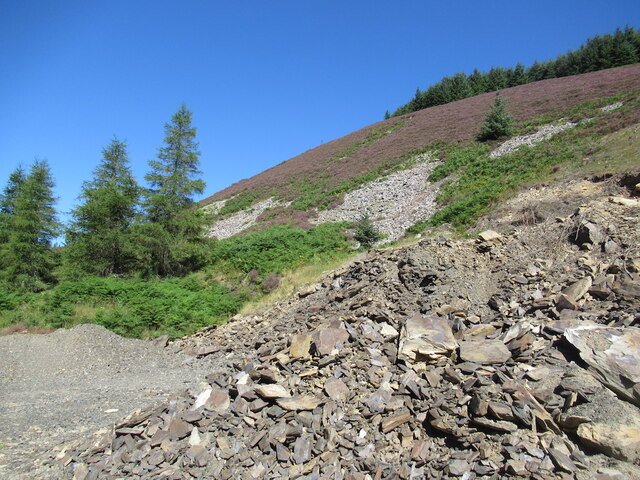
Blackhouse Forest is a picturesque woodland located in Selkirkshire, Scotland. Stretching over an area of approximately 200 square kilometers, it is renowned for its natural beauty and diverse range of flora and fauna.
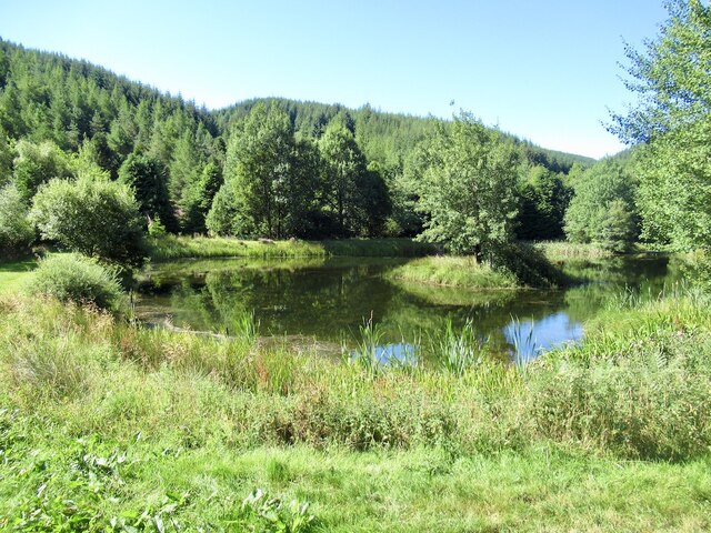
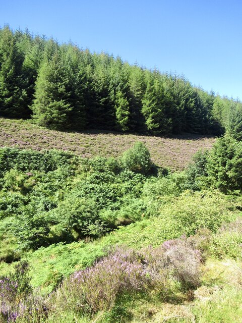
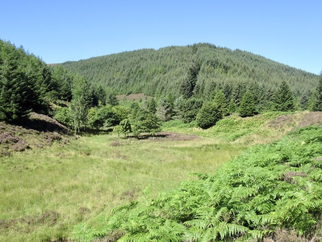
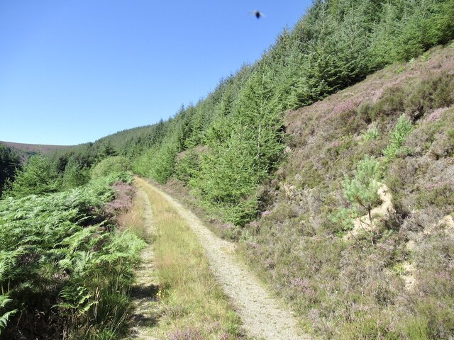
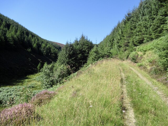
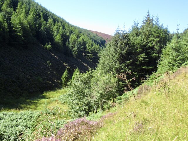
The forest is primarily composed of native tree species, including oak, beech, and birch, which create a dense canopy overhead. The forest floor is carpeted with a rich tapestry of wildflowers, ferns, and mosses, adding to its enchanting atmosphere.
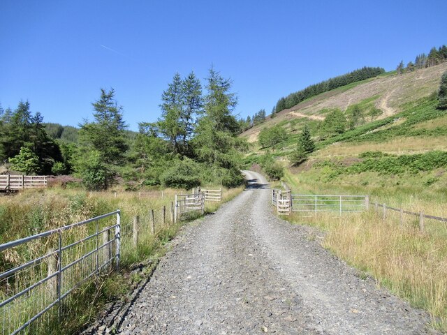
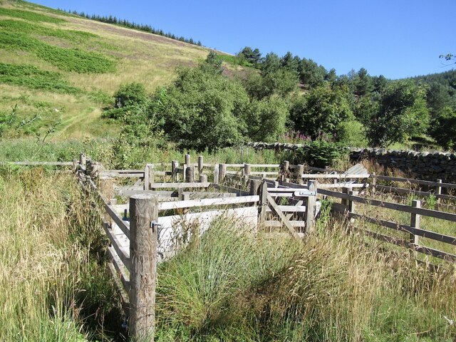
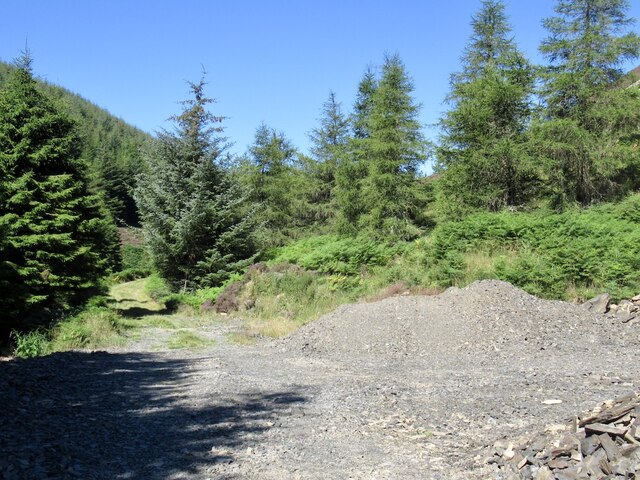
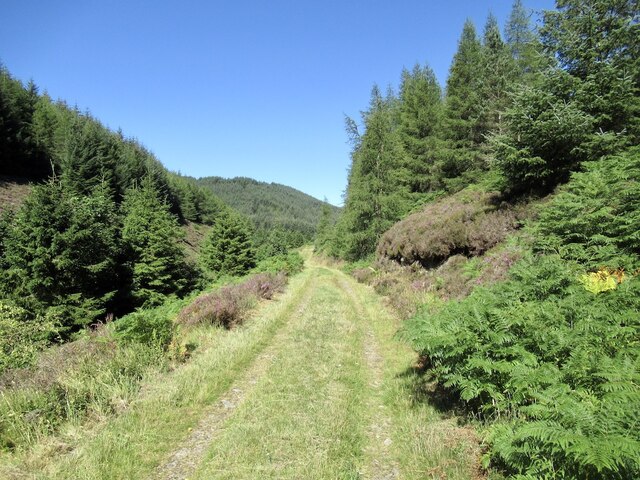
Blackhouse Forest is crisscrossed by a network of well-maintained trails, making it a popular destination for outdoor enthusiasts. These trails offer opportunities for hiking, cycling, and horseback riding, allowing visitors to explore the forest at their own pace. The forest is also home to several picnic areas, providing a perfect spot for visitors to relax and enjoy a meal amidst the tranquil surroundings.
Wildlife thrives within Blackhouse Forest, with a variety of species making it their home. Red squirrels can be spotted darting through the trees, while deer can often be seen grazing in clearings. Birdwatchers will delight in the sight of numerous species, including woodpeckers, owls, and various songbirds.
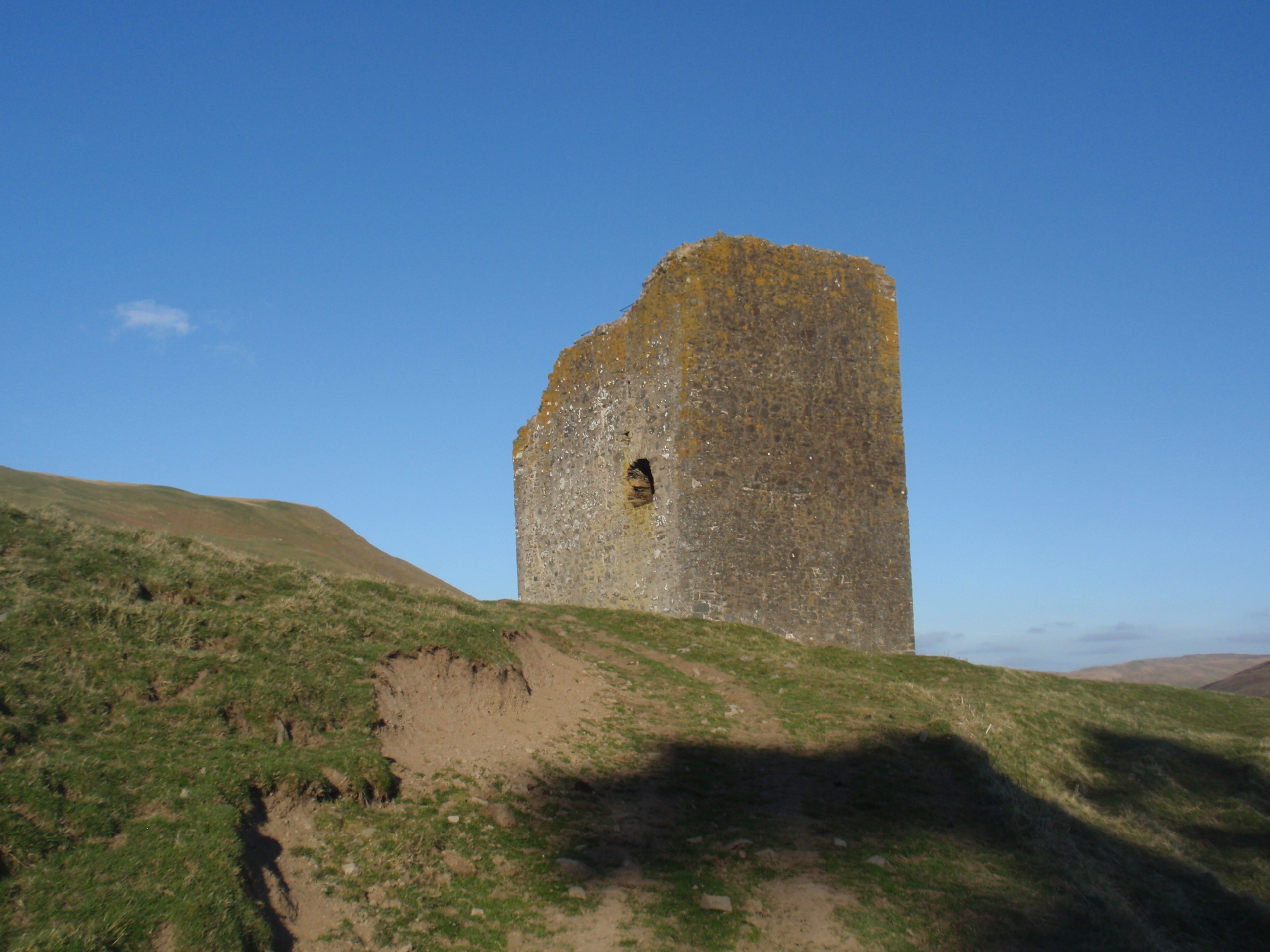
In addition to its natural beauty, Blackhouse Forest also holds historical significance. The ruins of Blackhouse Tower, a 16th-century tower house, can be found within the forest. This historic structure adds an intriguing element to the overall experience of exploring the woodland.
Overall, Blackhouse Forest offers a sanctuary for nature lovers and history enthusiasts alike. Its serene ambiance, diverse wildlife, and well-maintained trails make it a must-visit destination for anyone seeking to immerse themselves in the beauty of the Scottish countryside.
If you have any feedback on the listing, please let us know in the comments section below.
Blackhouse Forest Images
Images are sourced within 2km of 55.549933/-3.1813156 or Grid Reference NT2529. Thanks to Geograph Open Source API. All images are credited.


Blackhouse Forest is located at Grid Ref: NT2529 (Lat: 55.549933, Lng: -3.1813156)
Unitary Authority: The Scottish Borders
Police Authority: The Lothians and Scottish Borders
What 3 Words
///diet.eliminate.luggage. Near Innerleithen, Scottish Borders
Nearby Locations
Related Wikis

Dun Rig
Dun Rig is a hill in the Manor Hills range, part of the Southern Uplands of Scotland. It is the highest hill in the northernmost cluster of the Manor Hills...

Manor Hills
The Manor Hills, also known as the Tweedsmuir Hills, are a range of hills south of Peebles in the Scottish Borders, one of the ranges which collectively...

Black Law (hill)
Black Law is a hill in the Manor Hills range, part of the Southern Uplands of Scotland. One of the more remote Donalds, it does not easily combine into...
Dryhope Tower
Dryhope Tower is a ruined Scottish peel tower in the valley of the Yarrow Water, in the historic county of Selkirkshire, now part of the Scottish Borders...
Have you been to Blackhouse Forest?
Leave your review of Blackhouse Forest below (or comments, questions and feedback).