Black Cleuch
Valley in Selkirkshire
Scotland
Black Cleuch

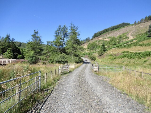
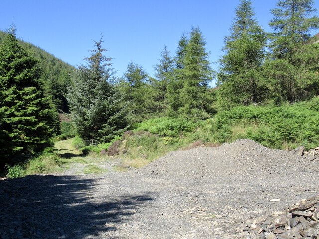
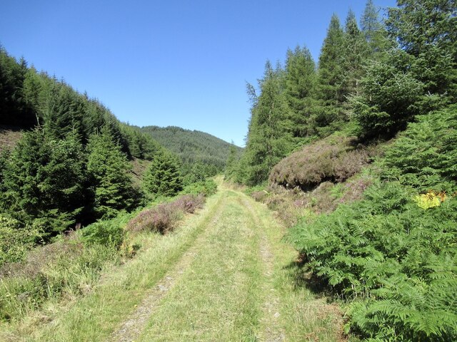
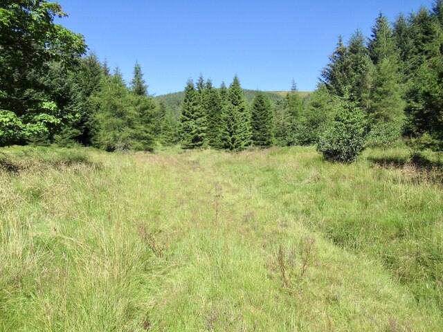
Black Cleuch is a picturesque valley located in the region of Selkirkshire, Scotland. Nestled amidst the rolling hills and lush greenery, the valley stretches over several miles, making it a popular destination for nature enthusiasts and hikers alike.
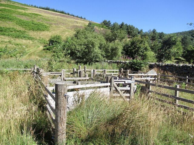
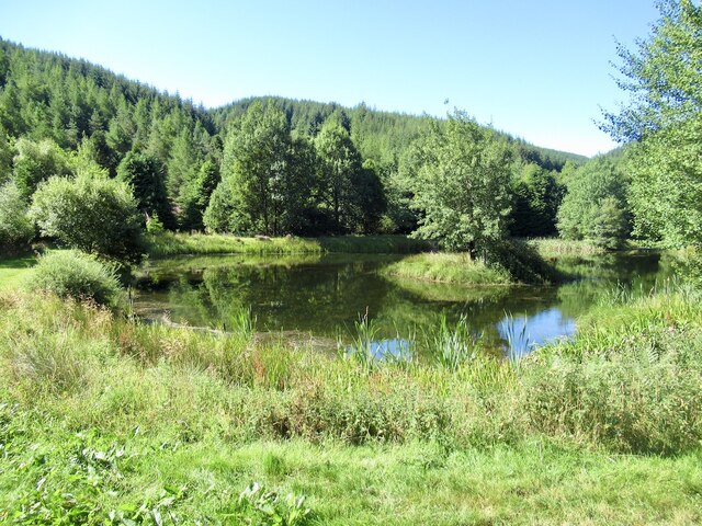
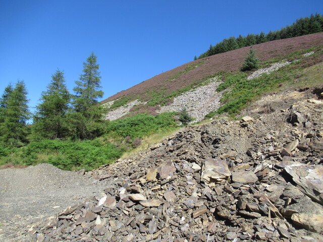
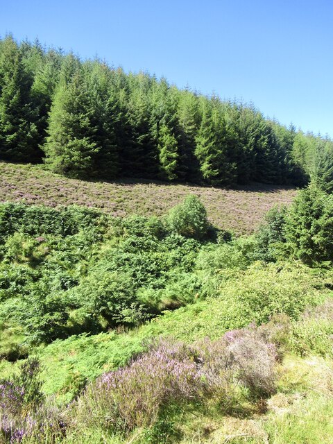
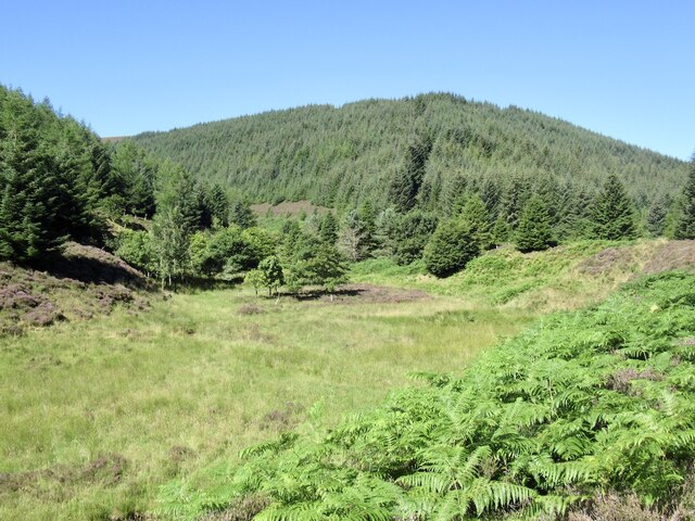
The valley is characterized by its stunning natural beauty, with the meandering Black Cleuch Burn running through it. The burn is known for its crystal-clear waters, which flow gently over the rocks, creating a soothing and tranquil atmosphere. The surrounding landscape is dominated by heather-covered moorland, interspersed with patches of dense woodland.
The valley is home to a diverse range of flora and fauna. The heathland supports a variety of plant species, including heather, gorse, and bilberry. The woodlands are inhabited by birds such as woodpeckers, tits, and thrushes, while the burn attracts small mammals like otters and water voles.
Black Cleuch is a paradise for outdoor enthusiasts. There are numerous hiking trails that wind through the valley, offering breathtaking views of the surrounding countryside. The valley also provides ample opportunities for birdwatching, fishing, and picnicking.
The tranquil and idyllic atmosphere of Black Cleuch attracts visitors throughout the year. Whether it's the vibrant colors of heather in the summer or the serenity of snow-covered hills in the winter, Black Cleuch never fails to captivate its visitors with its natural charm and beauty.
If you have any feedback on the listing, please let us know in the comments section below.
Black Cleuch Images
Images are sourced within 2km of 55.555523/-3.1755543 or Grid Reference NT2529. Thanks to Geograph Open Source API. All images are credited.


Black Cleuch is located at Grid Ref: NT2529 (Lat: 55.555523, Lng: -3.1755543)
Unitary Authority: The Scottish Borders
Police Authority: The Lothians and Scottish Borders
What 3 Words
///dolls.sprains.disclose. Near Innerleithen, Scottish Borders
Nearby Locations
Related Wikis

Dun Rig
Dun Rig is a hill in the Manor Hills range, part of the Southern Uplands of Scotland. It is the highest hill in the northernmost cluster of the Manor Hills...

Manor Hills
The Manor Hills, also known as the Tweedsmuir Hills, are a range of hills south of Peebles in the Scottish Borders, one of the ranges which collectively...

Black Law (hill)
Black Law is a hill in the Manor Hills range, part of the Southern Uplands of Scotland. One of the more remote Donalds, it does not easily combine into...
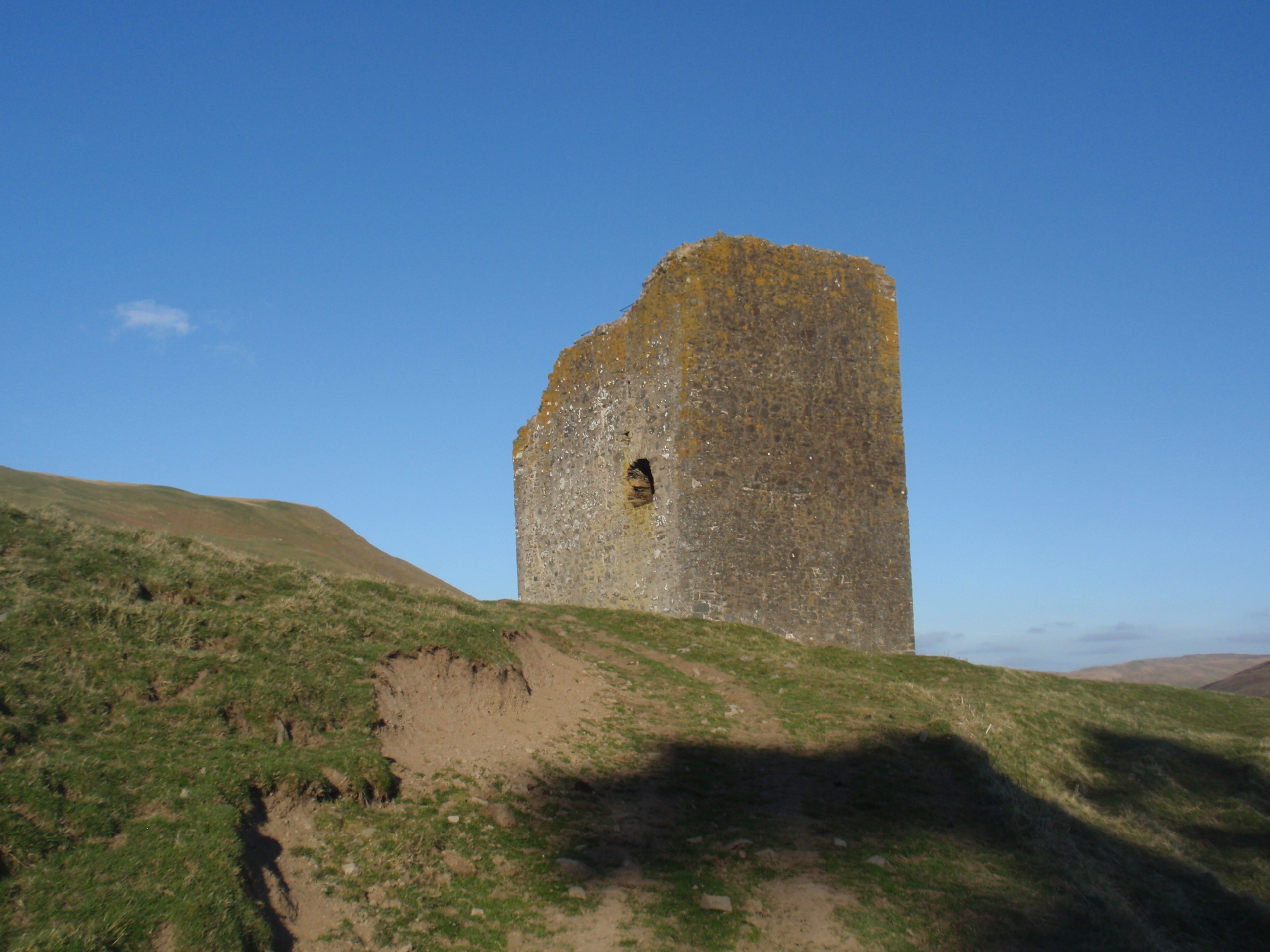
Dryhope Tower
Dryhope Tower is a ruined Scottish peel tower in the valley of the Yarrow Water, in the historic county of Selkirkshire, now part of the Scottish Borders...
Have you been to Black Cleuch?
Leave your review of Black Cleuch below (or comments, questions and feedback).