Golds Hill

Settlement in Staffordshire

England

Golds Hill

Hydes Road from Hateley Heath Aqueduct
Hydes Road from Hateley Heath Aqueduct Credit: Ian S

Golds Hill is a small village located in Staffordshire, England. Situated in the district of South Staffordshire, the village is nestled within the picturesque countryside, offering residents and visitors a tranquil and scenic setting.

With a population of around 500 people, Golds Hill is a close-knit community that exudes a welcoming and friendly atmosphere. The village is primarily residential, consisting of a mix of historic cottages and more modern houses. The architectural charm of the village is notable, with many buildings displaying traditional Staffordshire brickwork.

Despite its small size, Golds Hill offers a range of amenities to its residents. The village boasts a local pub, providing a central meeting point for locals and visitors alike. Additionally, there is a convenience store that caters to the daily needs of the community.

Surrounded by rolling hills and green fields, Golds Hill is a haven for nature enthusiasts. The area is known for its beautiful countryside walks, offering breathtaking views and opportunities for outdoor activities such as hiking and birdwatching.

Golds Hill is well-connected to nearby towns and cities, with good road links and public transportation options available. The village is located just a short drive away from the town of Dudley and the city of Wolverhampton, providing residents with easy access to a wider range of amenities and services.

In summary, Golds Hill is a charming village in Staffordshire, offering a peaceful and scenic environment for its residents. With a strong sense of community and an abundance of natural beauty, the village is an idyllic place to live or visit.

If you have any feedback on the listing, please let us know in the comments section below.
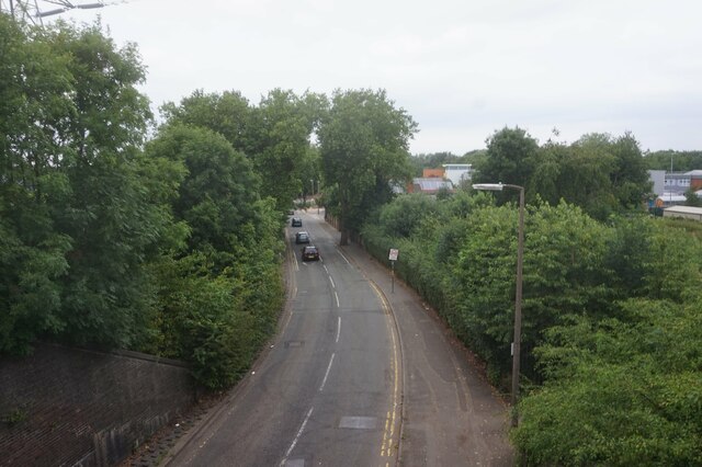
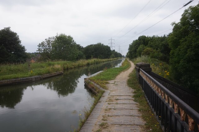
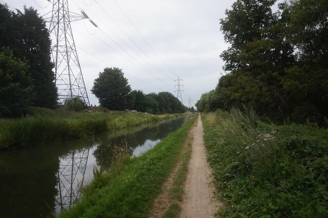
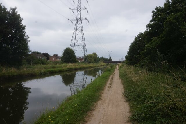
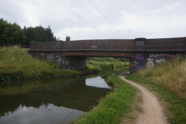
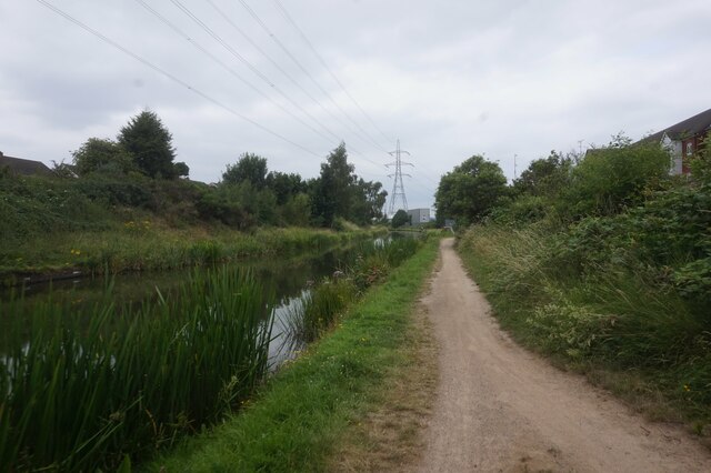
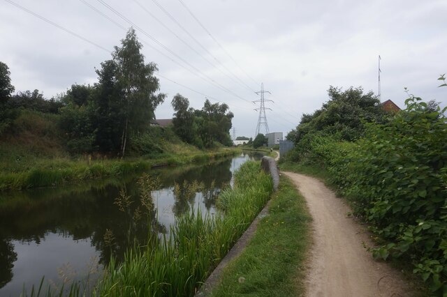
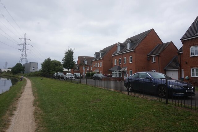
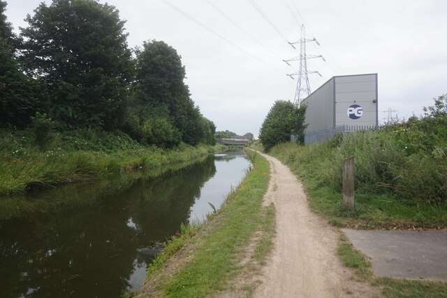
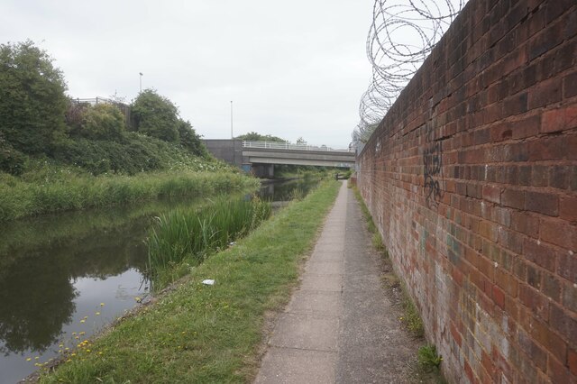
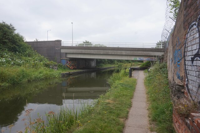
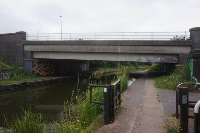
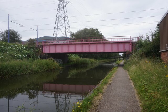
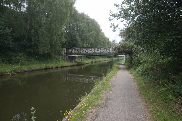
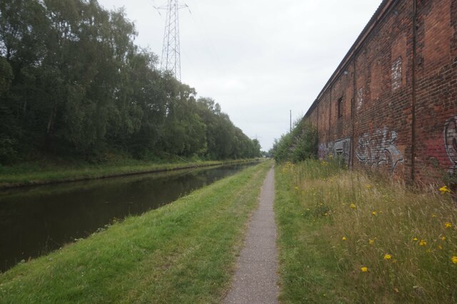
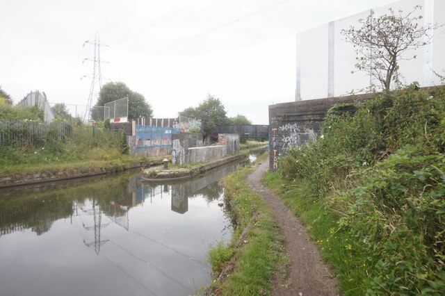
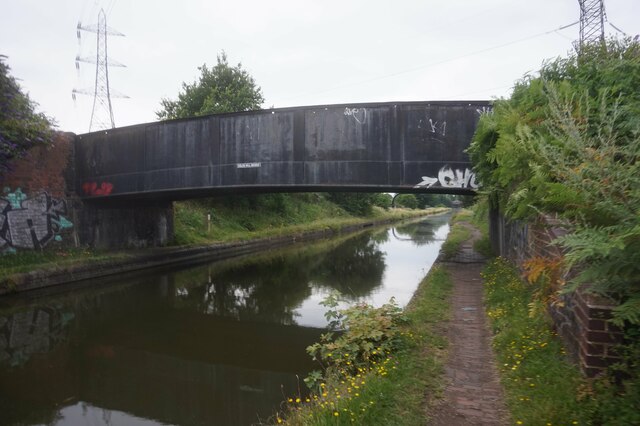
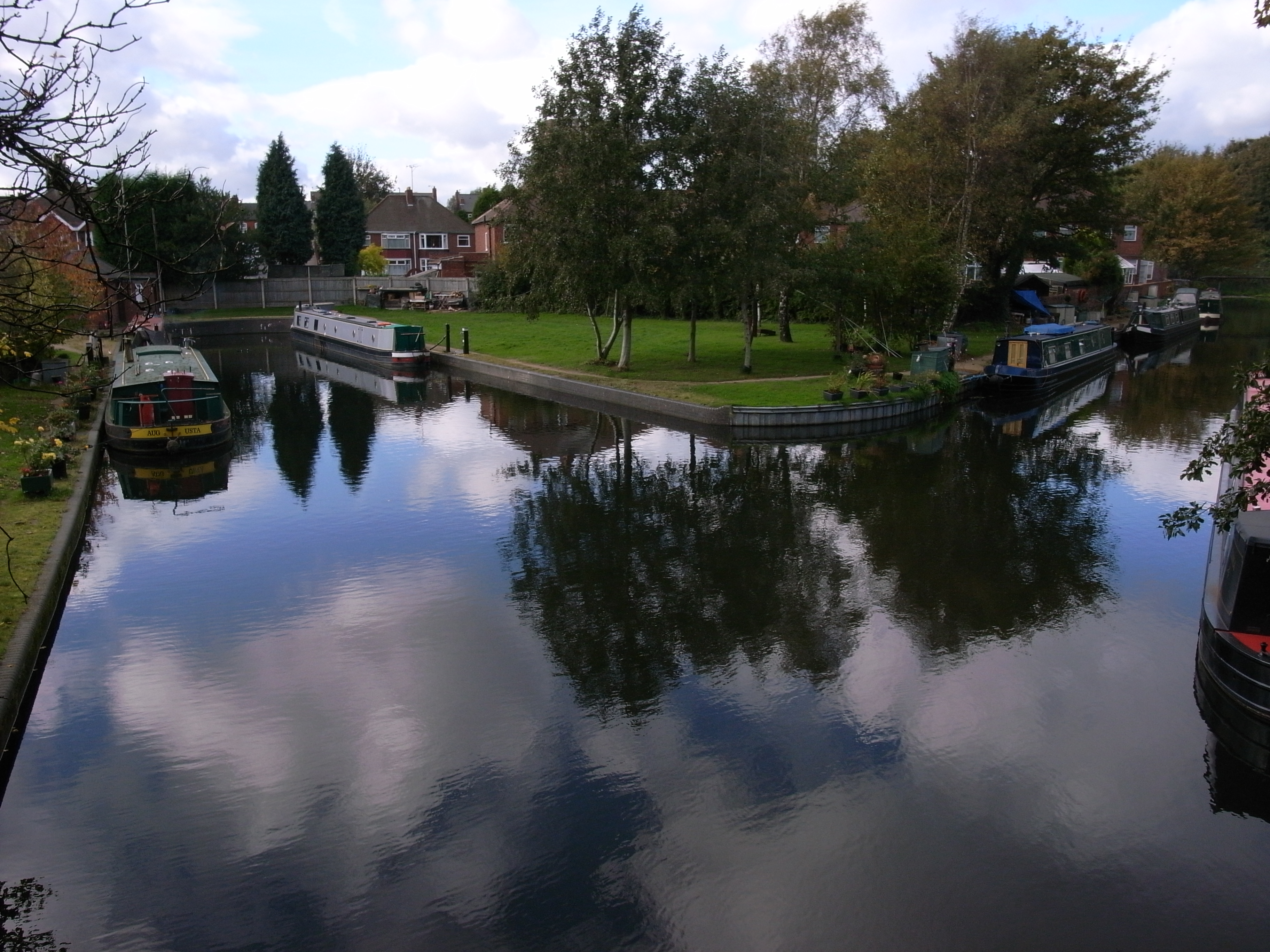
Golds Hill Images

Images are sourced within 2km of 52.538663/-2.0280875 or Grid Reference SO9893. Thanks to Geograph Open Source API. All images are credited.

Hydes Road from Hateley Heath Aqueduct
Tame Valley Canal at Hateley Heath Aqueduct
Tame Valley Canal towards Ball's Hill Bridge
Tame Valley Canal at Ball's Hill Bridge
Zebra Finch alongside the Tame Valley Canal
Tame Valley Canal towards Holloway Bank Bridge
Tame Valley Canal at Old College Drive
Tame Valley Canal towards Holloway Bank Bridge
Tame Valley Canal at Holloway Bank Bridge
Tame Valley Canal towards Metro Line Bridge
Tame Valley Canal towards Jones Bridge
Tame Valley Canal towards Goldshill Stop Railway Bridge
Tame Valley Canal towards the former Goldshill Stop Railway Bridge
Tame Valley Canal at Golds Hill Railway Bridge
Show me another place!

Golds Hill is located at Grid Ref: SO9893 (Lat: 52.538663, Lng: -2.0280875)

Unitary Authority: Sandwell

Police Authority: West Midlands

What 3 Words

///elite.beam.librarian. Near Wednesbury, West Midlands

Related Wikis

Ocker Hill Power Station

Ocker Hill Power Station was situated at Ocker Hill in Tipton, Staffordshire, at a point where the Walsall Canal intersected the L&NWR Wednesbury to Princes...

Tame Valley Junction

Tame Valley Junction (grid reference SO976936), also known as Doe Bank Junction, is a canal junction at the western limit of the Tame Valley Canal where...

Great Bridge North railway station

Great Bridge North railway station was a station on the South Staffordshire Line that served the village of Great Bridge and town of Tipton in Staffordshire...

Ocker Hill

Ocker Hill is a residential area of Tipton in the West Midlands of England. == Details == It is situated in the northern part of the town, on the main...

Nearby Amenities

Located within 500m of 52.538663,-2.0280875
Barrier: block
Bicycle: yes
Foot: yes
Lat/Long: 52.5354044/-2.031796
Bus Stop
Bagnall St / The Miners Arms
Bus: yes
Naptan AtcoCode: 43000961201
Naptan Bearing: SW
Naptan BusStopType: MKD
Naptan CommonName: The Miners Arms
Naptan Indicator: opp
Naptan NaptanCode: nwmpwtpw
Naptan PlusbusZoneRef: BHAMNWS
Naptan Status: ACT
Naptan StopType: BCT
Naptan Street: BAGNALL ST
Naptan Towards: Great Bridge
Naptan Verified: no
Public Transport: platform
Route Ref: 30
Source: WMCA
Lat/Long: 52.537867/-2.0252415
Bus Stop
Bagnall St / The Miners Arms
Bus: yes
Naptan AtcoCode: 43000961202
Naptan Bearing: NE
Naptan BusStopType: MKD
Naptan CommonName: The Miners Arms
Naptan Indicator: adj
Naptan NaptanCode: nwmpwtwa
Naptan PlusbusZoneRef: BHAMNWS
Naptan Status: ACT
Naptan StopType: BCT
Naptan Street: BAGNALL ST
Naptan Towards: West Bromwich
Naptan Verified: no
Public Transport: platform
Route Ref: 30
Source: WMCA
Lat/Long: 52.5379388/-2.0254037
Bus Stop
Bagnall St / Pikehelve St
Bus: yes
Naptan AtcoCode: 43000961301
Naptan Bearing: NE
Naptan BusStopType: MKD
Naptan CommonName: Pikehelve St
Naptan Indicator: adj
Naptan NaptanCode: nwmpgmwg
Naptan PlusbusZoneRef: BHAMNWS
Naptan Status: ACT
Naptan StopType: BCT
Naptan Street: BAGNALL ST
Naptan Towards: West Bromwich
Naptan Verified: no
Public Transport: platform
Route Ref: 30
Source: WMCA
Lat/Long: 52.5372462/-2.0270399
Bus Stop
Bagnall St / Pikehelve St
Bus: yes
Naptan AtcoCode: 43000961302
Naptan Bearing: SW
Naptan BusStopType: MKD
Naptan CommonName: Pikehelve St
Naptan Indicator: opp
Naptan NaptanCode: nwmpgmwj
Naptan PlusbusZoneRef: BHAMNWS
Naptan Status: ACT
Naptan StopType: BCT
Naptan Street: BAGNALL ST
Naptan Towards: Great Bridge
Naptan Verified: no
Public Transport: platform
Route Ref: 30
Source: WMCA
Lat/Long: 52.5372373/-2.026745
Bagnall St / Eagle Industrial Estate
Naptan AtcoCode: 43000961401
Naptan Bearing: NE
Naptan BusStopType: MKD
Naptan CommonName: Eagle Industrial Estate
Naptan Indicator: opp
Naptan NaptanCode: nwmpgmwm
Naptan PlusbusZoneRef: BHAMNWS
Naptan Status: ACT
Naptan StopType: BCT
Naptan Street: BAGNALL ST
Naptan Towards: West Bromwich
Naptan Verified: no
Route Ref: 30
Source: WMCA
Lat/Long: 52.5362348/-2.0299701
Bus Stop
George Henry Rd / Bagnall St
Bus: yes
Naptan AtcoCode: 43000961702
Naptan Bearing: S
Naptan BusStopType: MKD
Naptan CommonName: Bagnall St
Naptan Indicator: after
Naptan NaptanCode: nwmtjdpg
Naptan PlusbusZoneRef: BHAMNWS
Naptan Status: ACT
Naptan StopType: BCT
Naptan Street: GEORGE HENRY RD
Naptan Towards: Great Bridge
Naptan Verified: no
Public Transport: platform
Route Ref: 30
Source: WMCA
Lat/Long: 52.5358371/-2.029861
Bus Stop
Harvills Hawthorn / Harvills Hawthorn
Bus: yes
Naptan AtcoCode: 43009611001
Naptan Bearing: SE
Naptan BusStopType: MKD
Naptan CommonName: Harvills Hawthorn
Naptan Indicator: opp
Naptan Landmark: The Triumphant Church of God
Naptan NaptanCode: nwmtwpwt
Naptan PlusbusZoneRef: BHAMNWS
Naptan Status: ACT
Naptan StopType: BCT
Naptan Street: HARVILLS HAWTHORN
Naptan Towards: West Bromwich
Naptan Verified: no
Public Transport: platform
Route Ref: 30
Source: WMCA
Lat/Long: 52.5384269/-2.0229937
Bus Stop
Harvills Hawthorn / Harvills Hawthorn
Bus: yes
Naptan AtcoCode: 43009611002
Naptan Bearing: NW
Naptan BusStopType: MKD
Naptan CommonName: Harvills Hawthorn
Naptan Indicator: adj
Naptan Landmark: The Triumphant Church of God
Naptan NaptanCode: nwmtwtad
Naptan PlusbusZoneRef: BHAMNWS
Naptan Status: ACT
Naptan StopType: BCT
Naptan Street: HARVILLS HAWTHORN
Naptan Towards: Great Bridge
Naptan Verified: no
Public Transport: platform
Source: WMCA
Lat/Long: 52.5381552/-2.0223961
Harvills Hawthorne
Place: locality
Source: OS_OpenData_StreetView
Lat/Long: 52.5373828/-2.030222
Golds Green
Place: locality
Source: OS _OpenData _StreetView
Lat/Long: 52.5392961/-2.0256181
Power: tower
Source: bing
Lat/Long: 52.5427202/-2.026932
Location Transition: yes
Power: tower
Source: bing
Lat/Long: 52.5412574/-2.0274193
Power: tower
Source: bing
Lat/Long: 52.5376745/-2.031908
Turning Circle
Source: bing
Lat/Long: 52.5354433/-2.0237574
Turning Circle
Source: bing
Lat/Long: 52.5356447/-2.0262238
Turning Circle
Source: bing
Lat/Long: 52.5359448/-2.0256671
Turning Circle
Source: bing
Lat/Long: 52.5359939/-2.0232057
Turning Circle
Source: bing
Lat/Long: 52.5365072/-2.0226117
Power: tower
Source: bing
Lat/Long: 52.5399608/-2.0302621
Power: tower
Source: bing
Lat/Long: 52.5402618/-2.0296161
Power: tower
Source: bing
Lat/Long: 52.5423825/-2.0281075
Power: tower
Source: bing
Lat/Long: 52.5428761/-2.027828
Power: tower
Source: bing
Lat/Long: 52.5429567/-2.0283294
Power: tower
Lat/Long: 52.5411852/-2.0300694
Bus Stop
George Henry Rd / Bagnall St
Bus: yes
Naptan AtcoCode: 43000961703
Naptan Bearing: N
Naptan BusStopType: CUS
Naptan CommonName: Bagnall St
Naptan Indicator: before
Naptan NaptanCode: nwmwdwmj
Naptan Status: ACT
Naptan StopType: BCT
Naptan Street: GEORGE HENRY RD
Naptan Towards: West Bromwich
Public Transport: platform
Route Ref: 30
Source: WMCA
Lat/Long: 52.5355355/-2.0299609
Bus Stop
Anson Rd / Ashmole Road
Bus: yes
Naptan AtcoCode: 43009727102
Naptan Bearing: SW
Naptan BusStopType: MKD
Naptan CommonName: Ashmole Road
Naptan Indicator: adj
Naptan NaptanCode: nwmwdjdj
Naptan Status: ACT
Naptan StopType: BCT
Naptan Street: ANSON RD
Naptan Towards: West Bromwich
Public Transport: platform
Route Ref: 30;44
Source: WMCA
Lat/Long: 52.5370206/-2.0228379
Bus Stop
Anson Rd / Ashmole Road
Bus: yes
Naptan AtcoCode: 43009727101
Naptan Bearing: NE
Naptan BusStopType: MKD
Naptan CommonName: Ashmole Road
Naptan Indicator: opp
Naptan NaptanCode: nwmwdjdg
Naptan Status: ACT
Naptan StopType: BCT
Naptan Street: ANSON RD
Naptan Towards: Great Bridge
Public Transport: platform
Route Ref: 30
Source: WMCA
Lat/Long: 52.5372136/-2.0227643
Post Box
Ref: B70 54
Lat/Long: 52.5374177/-2.0261876
Shop: convenience
Lat/Long: 52.5372301/-2.0262788
Barrier: yes
Lat/Long: 52.5389108/-2.0244246
Golds Hill Crossing
Railway: crossing
Lat/Long: 52.5408974/-2.0286917
Crossing
Crossing: unmarked
Crossing Island: yes
Tactile Paving: yes
Lat/Long: 52.5364043/-2.0301639
Crossing
Crossing: unmarked
Crossing Island: yes
Tactile Paving: yes
Lat/Long: 52.5363996/-2.0300597
Generator Method: photovoltaic
Generator Output Electricity: yes
Generator Source: solar
Generator Type: solar_photovoltaic_panel
Location: roof
Power: generator
Lat/Long: 52.537194/-2.0219216
Generator Method: photovoltaic
Generator Output Electricity: yes
Generator Source: solar
Generator Type: solar_photovoltaic_panel
Location: roof
Power: generator
Lat/Long: 52.5365838/-2.0222434
Generator Method: photovoltaic
Generator Output Electricity: yes
Generator Source: solar
Generator Type: solar_photovoltaic_panel
Location: roof
Power: generator
Lat/Long: 52.5357869/-2.0234129
Generator Method: photovoltaic
Generator Output Electricity: yes
Generator Source: solar
Generator Type: solar_photovoltaic_panel
Location: roof
Power: generator
Lat/Long: 52.5358309/-2.0235094
Generator Method: photovoltaic
Generator Output Electricity: yes
Generator Source: solar
Generator Type: solar_photovoltaic_panel
Location: roof
Power: generator
Lat/Long: 52.5362388/-2.0233861
The data included in this document is from www.openstreetmap.org. The data is made available under ODbL.

Have you been to Golds Hill?

Leave your review of Golds Hill below (or comments, questions and feedback).