Gold's Hill

Settlement in Staffordshire

England

Gold's Hill

Tame Valley Canal towards Ball's Hill Bridge
Tame Valley Canal towards Ball's Hill Bridge Credit: Ian S

Gold's Hill is a small village located in the county of Staffordshire, England. Situated approximately 7 miles northwest of the town of Stoke-on-Trent, Gold's Hill is nestled in the picturesque countryside of the Staffordshire Moorlands. With a population of around 500 residents, the village exudes a charming and close-knit community atmosphere.

The village is known for its rich history, dating back to medieval times. The name "Gold's Hill" is believed to originate from the gold mining activities that took place in the area during the 16th century. Although the gold mines are no longer in operation, remnants of this historical industry can still be seen in the form of old mine shafts and buildings.

The village is characterized by its traditional architecture, with many buildings dating back several centuries. The centerpiece of Gold's Hill is the St. Mary's Church, a beautiful Grade II listed building that dates back to the 13th century. The church's stunning stained glass windows and intricate stonework make it a popular attraction for visitors.

Gold's Hill is surrounded by lush green fields and rolling hills, providing ample opportunities for outdoor activities such as hiking, cycling, and horse riding. The village also boasts a lively village pub, which serves as a social hub for locals and visitors alike.

Overall, Gold's Hill offers a tranquil and idyllic setting for those seeking a peaceful retreat in the heart of the Staffordshire countryside.

If you have any feedback on the listing, please let us know in the comments section below.
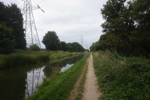
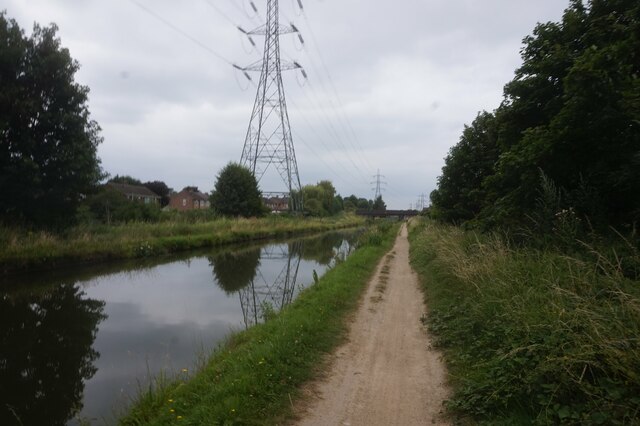
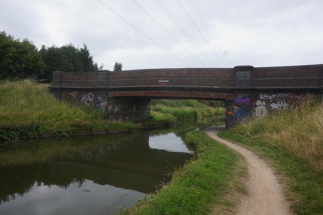
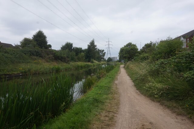
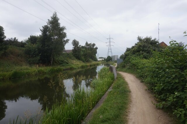
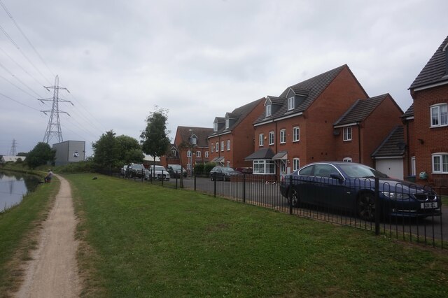
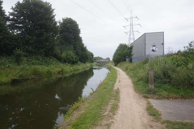
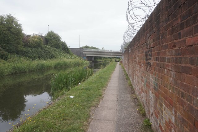
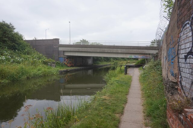
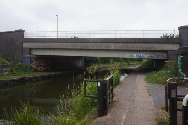
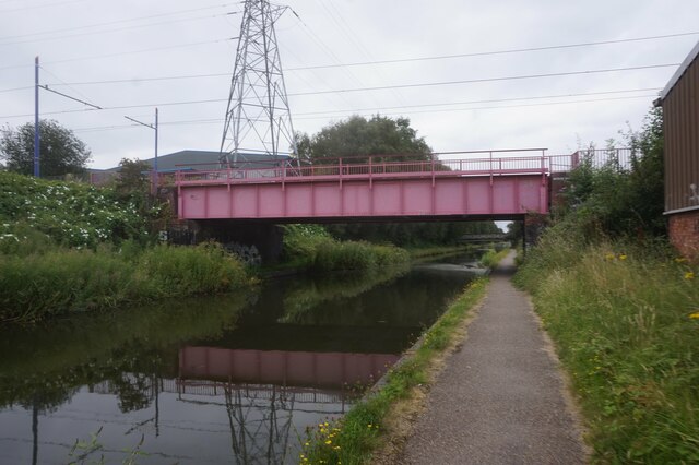
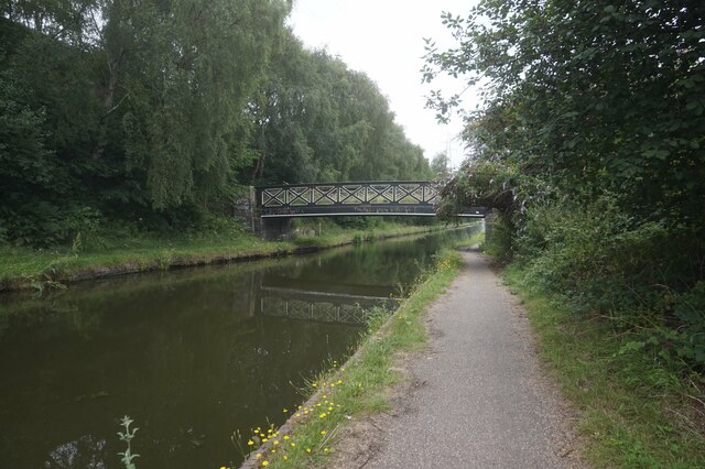
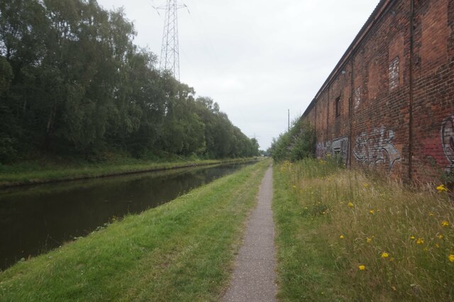
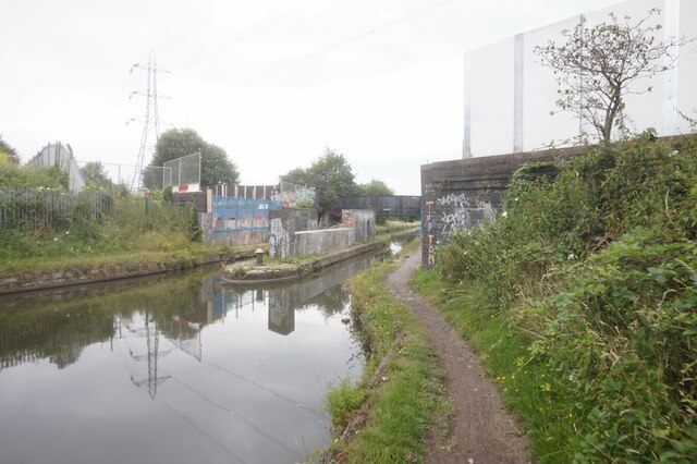
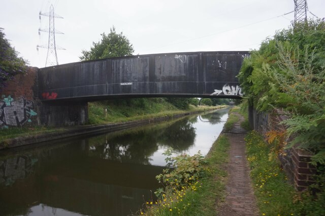
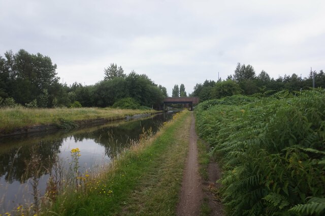
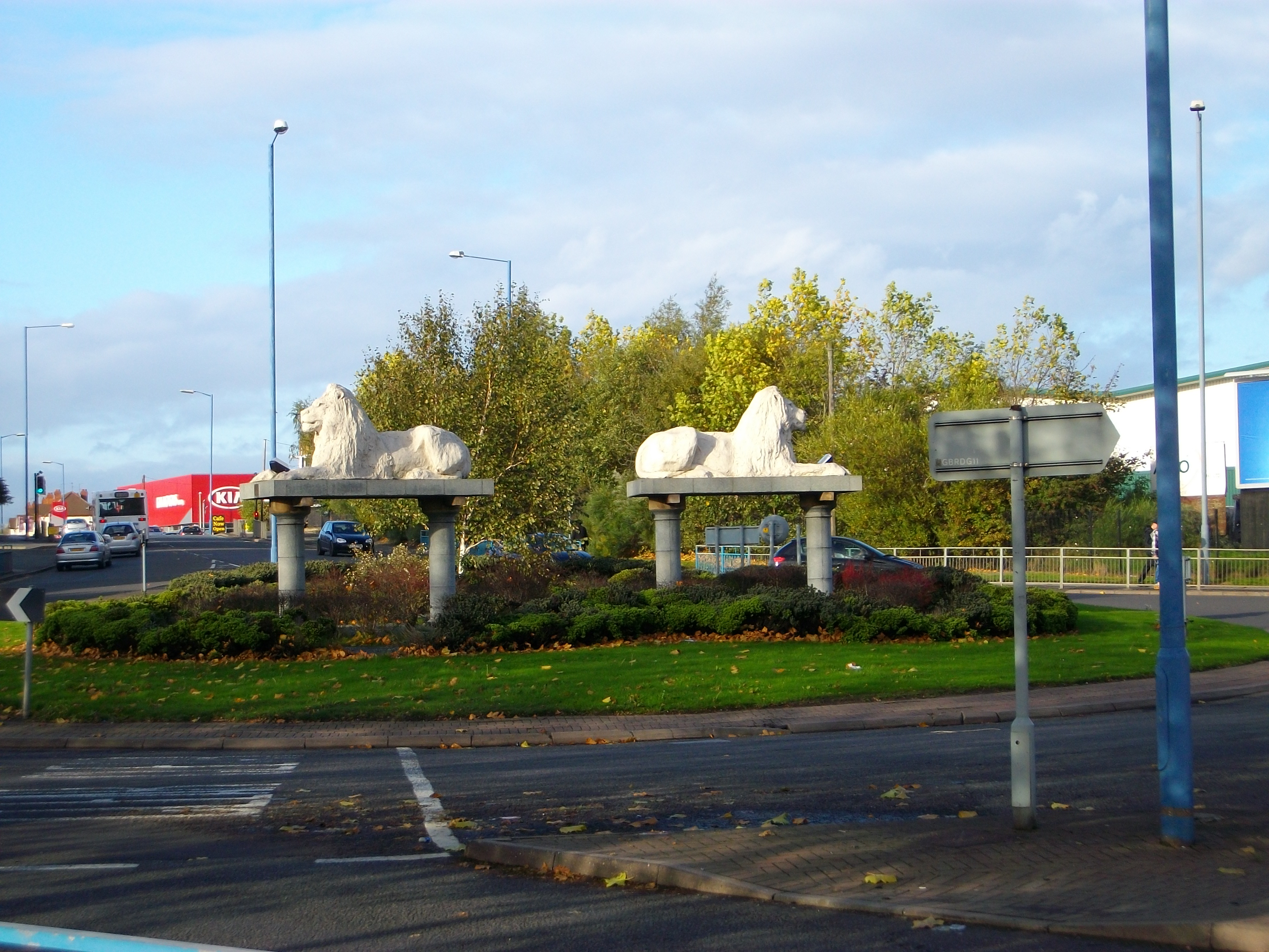
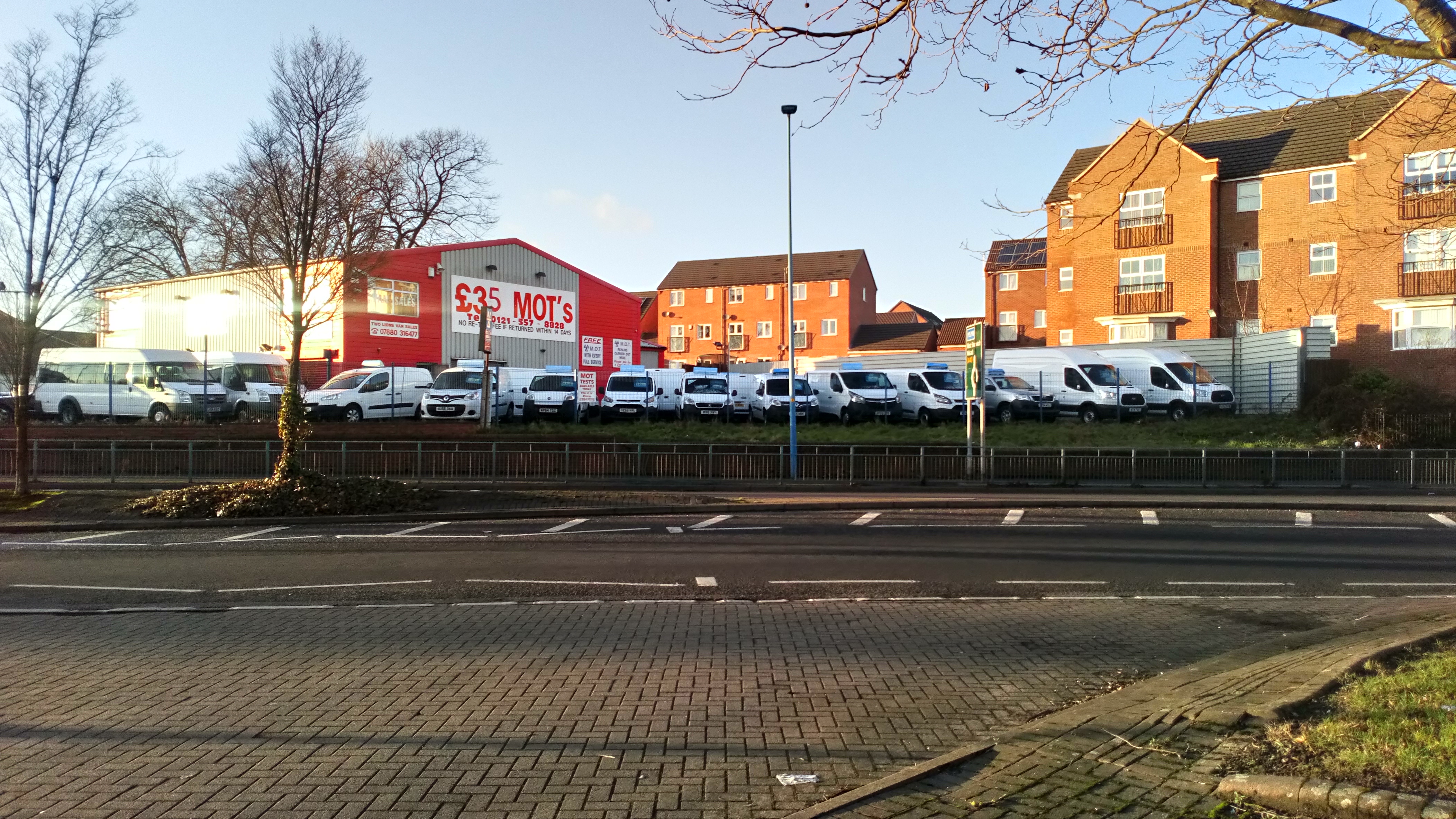
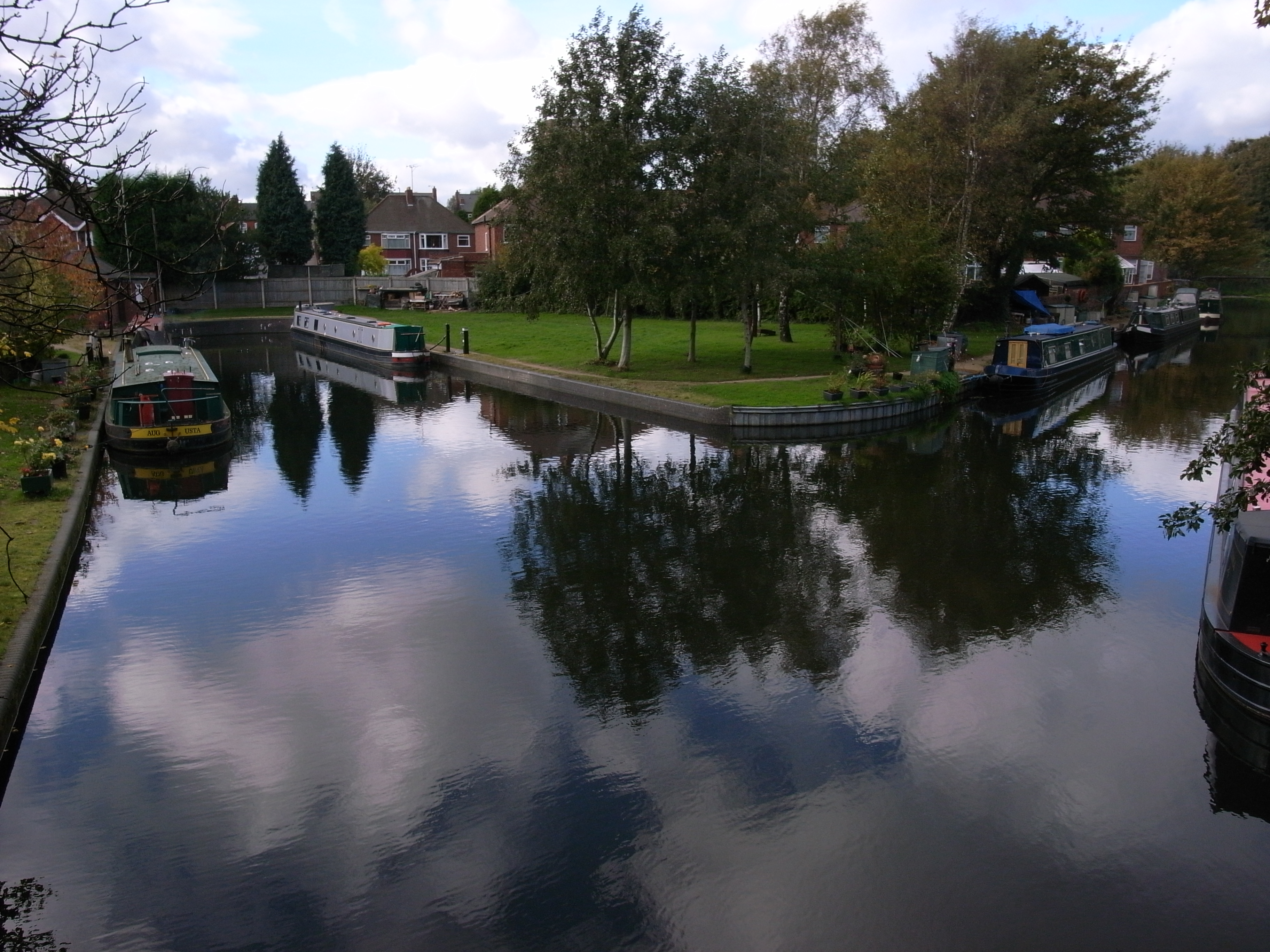
Gold's Hill Images

Images are sourced within 2km of 52.53486/-2.0309156 or Grid Reference SO9893. Thanks to Geograph Open Source API. All images are credited.

Tame Valley Canal towards Ball's Hill Bridge
Tame Valley Canal at Ball's Hill Bridge
Tame Valley Canal towards Holloway Bank Bridge
Tame Valley Canal at Old College Drive
Tame Valley Canal towards Holloway Bank Bridge
Tame Valley Canal at Holloway Bank Bridge
Tame Valley Canal towards Metro Line Bridge
Tame Valley Canal towards Jones Bridge
Tame Valley Canal towards Goldshill Stop Railway Bridge
Tame Valley Canal towards the former Goldshill Stop Railway Bridge
Tame Valley Canal at Golds Hill Railway Bridge
Pipeline over the Tame Valley Canal Near Golds Hill Bridge.
Pipeline over the Tame Valley Canal
Near Golds Hill Bridge.
Tame Valley Canal towards Spine Road Bridge
Show me another place!

Gold's Hill is located at Grid Ref: SO9893 (Lat: 52.53486, Lng: -2.0309156)

Unitary Authority: Sandwell

Police Authority: West Midlands

What 3 Words

///couches.weeks.await. Near Wednesbury, West Midlands

Related Wikis

Great Bridge North railway station

Great Bridge North railway station was a station on the South Staffordshire Line that served the village of Great Bridge and town of Tipton in Staffordshire...

Ocker Hill Power Station

Ocker Hill Power Station was situated at Ocker Hill in Tipton, Staffordshire, at a point where the Walsall Canal intersected the L&NWR Wednesbury to Princes...

Great Bridge, West Midlands

Great Bridge is a historic village and district of Tipton in the Metropolitan Borough of Sandwell in the metropolitan county of the West Midlands, England...

Great Bridge South railway station

Great Bridge South railway station was a station on a link line between the South Staffordshire Line and the Birmingham Snow Hill-Wolverhampton Low Level...

Tame Valley Junction

Tame Valley Junction (grid reference SO976936), also known as Doe Bank Junction, is a canal junction at the western limit of the Tame Valley Canal where...

Galton Village

Galton Village is a residential area of Smethwick, West Midlands, England. It takes its name from the iconic nearby Galton Bridge that was named after...

Ocker Hill

Ocker Hill is a residential area of Tipton in the West Midlands of England. == Details == It is situated in the northern part of the town, on the main...

Horseley Ironworks

The Horseley Ironworks (sometimes spelled Horsley) was a major ironworks in the Tipton area in the county of Staffordshire, now the West Midlands, England...

Nearby Amenities

Located within 500m of 52.53486,-2.0309156
Barrier: block
Bicycle: yes
Foot: yes
Lat/Long: 52.5354044/-2.031796
Bus Stop
Bagnall St / Pikehelve St
Bus: yes
Naptan AtcoCode: 43000961301
Naptan Bearing: NE
Naptan BusStopType: MKD
Naptan CommonName: Pikehelve St
Naptan Indicator: adj
Naptan NaptanCode: nwmpgmwg
Naptan PlusbusZoneRef: BHAMNWS
Naptan Status: ACT
Naptan StopType: BCT
Naptan Street: BAGNALL ST
Naptan Towards: West Bromwich
Naptan Verified: no
Public Transport: platform
Route Ref: 30
Source: WMCA
Lat/Long: 52.5372462/-2.0270399
Bus Stop
Bagnall St / Pikehelve St
Bus: yes
Naptan AtcoCode: 43000961302
Naptan Bearing: SW
Naptan BusStopType: MKD
Naptan CommonName: Pikehelve St
Naptan Indicator: opp
Naptan NaptanCode: nwmpgmwj
Naptan PlusbusZoneRef: BHAMNWS
Naptan Status: ACT
Naptan StopType: BCT
Naptan Street: BAGNALL ST
Naptan Towards: Great Bridge
Naptan Verified: no
Public Transport: platform
Route Ref: 30
Source: WMCA
Lat/Long: 52.5372373/-2.026745
Bus Stop
Bagnall St / Eagle Industrial Estate
Bus: yes
Naptan AtcoCode: 43000961401
Naptan Bearing: NE
Naptan BusStopType: MKD
Naptan CommonName: Eagle Industrial Estate
Naptan Indicator: opp
Naptan NaptanCode: nwmpgmwm
Naptan PlusbusZoneRef: BHAMNWS
Naptan Status: ACT
Naptan StopType: BCT
Naptan Street: BAGNALL ST
Naptan Towards: West Bromwich
Naptan Verified: no
Public Transport: platform
Route Ref: 30
Source: WMCA
Lat/Long: 52.5362798/-2.0300102
Bus Stop
George Henry Rd / Bagnall St
Bus: yes
Naptan AtcoCode: 43000961702
Naptan Bearing: S
Naptan BusStopType: MKD
Naptan CommonName: Bagnall St
Naptan Indicator: after
Naptan NaptanCode: nwmtjdpg
Naptan PlusbusZoneRef: BHAMNWS
Naptan Status: ACT
Naptan StopType: BCT
Naptan Street: GEORGE HENRY RD
Naptan Towards: Great Bridge
Naptan Verified: no
Public Transport: platform
Route Ref: 30
Source: WMCA
Lat/Long: 52.5358371/-2.029861
Bus Stop
George Henry Rd / Chimney Rd
Bus: yes
Naptan AtcoCode: 43000961801
Naptan Bearing: N
Naptan BusStopType: MKD
Naptan CommonName: Chimney Rd
Naptan Indicator: adj
Naptan NaptanCode: nwmtjdpj
Naptan PlusbusZoneRef: BHAMNWS
Naptan Status: ACT
Naptan StopType: BCT
Naptan Street: GEORGE HENRY RD
Naptan Towards: West Bromwich
Naptan Verified: no
Public Transport: platform
Route Ref: 30
Source: WMCA
Lat/Long: 52.5336676/-2.0294997
Bus Stop
George Henry Rd / Chimney Rd
Bus: yes
Naptan AtcoCode: 43000961802
Naptan Bearing: S
Naptan BusStopType: MKD
Naptan CommonName: Chimney Rd
Naptan Indicator: opp
Naptan NaptanCode: nwmtjdpm
Naptan PlusbusZoneRef: BHAMNWS
Naptan Status: ACT
Naptan StopType: BCT
Naptan Street: GEORGE HENRY RD
Naptan Towards: Great Bridge
Naptan Verified: no
Public Transport: platform
Route Ref: 30
Source: WMCA
Lat/Long: 52.533344/-2.0292783
Bus Stop
New Rd / Eagle Lane
Bus: yes
Naptan AtcoCode: 43000962501
Naptan Bearing: SE
Naptan BusStopType: MKD
Naptan CommonName: Eagle Lane
Naptan Indicator: adj
Naptan NaptanCode: nwmpgpdm
Naptan PlusbusZoneRef: BHAMNWS
Naptan Status: ACT
Naptan StopType: BCT
Naptan Street: NEW RD
Naptan Towards: Great Bridge
Naptan Verified: no
Public Transport: platform
Route Ref: 42;43
Source: WMCA
Lat/Long: 52.5329731/-2.0374747
Industrial Centre
Landuse: industrial
Lat/Long: 52.5331093/-2.025435
Industrial Park
Lat/Long: 52.5334996/-2.0286343
Harvills Hawthorne
Place: locality
Source: OS_OpenData_StreetView
Lat/Long: 52.5373828/-2.030222
Traffic Signals
Source: bing
Lat/Long: 52.5316667/-2.0310588
Power: tower
Lat/Long: 52.5317545/-2.0327172
Traffic Signals
Source: bing
Lat/Long: 52.5316903/-2.0296461
Crossing
Crossing: traffic_signals
Lat/Long: 52.5317752/-2.0293073
Traffic Signals
Source: bing
Lat/Long: 52.5316565/-2.0308688
Traffic Signals
Source: bing
Lat/Long: 52.5317611/-2.0298014
Traffic Signals
Source: bing
Lat/Long: 52.5320661/-2.0307936
Traffic Signals
Source: bing
Lat/Long: 52.5321642/-2.0308258
Power: tower
Source: bing
Lat/Long: 52.5349625/-2.0342186
Power: tower
Source: bing
Lat/Long: 52.5376745/-2.031908
Seamark Type: gate
Waterway: lock_gate
Lat/Long: 52.531797/-2.0331894
Turning Circle
Source: bing
Lat/Long: 52.5354433/-2.0237574
Turning Circle
Source: bing
Lat/Long: 52.5356447/-2.0262238
Turning Circle
Source: bing
Lat/Long: 52.5359448/-2.0256671
Crossing
Crossing: unmarked
Crossing Markings: no
Lat/Long: 52.5309033/-2.0302644
Mini Roundabout
Direction: clockwise
Source: bing
Lat/Long: 52.530873/-2.0297435
Crossing
Crossing: unmarked
Crossing Markings: no
Lat/Long: 52.5310748/-2.0277239
Seamark Type: gate
Waterway: lock_gate
Lat/Long: 52.5319732/-2.0334037
Bus Stop
George Henry Rd / Bagnall St
Bus: yes
Naptan AtcoCode: 43000961703
Naptan Bearing: N
Naptan BusStopType: CUS
Naptan CommonName: Bagnall St
Naptan Indicator: before
Naptan NaptanCode: nwmwdwmj
Naptan Status: ACT
Naptan StopType: BCT
Naptan Street: GEORGE HENRY RD
Naptan Towards: West Bromwich
Public Transport: platform
Route Ref: 30
Source: WMCA
Lat/Long: 52.5355355/-2.0299609
Bus Stop
Anson Rd / Wolseley Road
Bus: yes
Naptan AtcoCode: 43009727202
Naptan Bearing: S
Naptan BusStopType: MKD
Naptan CommonName: Wolseley Road
Naptan Indicator: before
Naptan NaptanCode: nwmwdjdp
Naptan Status: ACT
Naptan StopType: BCT
Naptan Street: ANSON RD
Naptan Towards: West Bromwich
Public Transport: platform
Route Ref: 30;44
Source: WMCA
Lat/Long: 52.5341167/-2.0237946
Bus Stop
Anson Rd / Wolseley Road
Bus: yes
Naptan AtcoCode: 43009727201
Naptan Bearing: N
Naptan BusStopType: MKD
Naptan CommonName: Wolseley Road
Naptan Indicator: after
Naptan NaptanCode: nwmwdjdm
Naptan Status: ACT
Naptan StopType: BCT
Naptan Street: ANSON RD
Naptan Towards: Great Bridge
Public Transport: platform
Route Ref: 30
Source: WMCA
Lat/Long: 52.5342035/-2.024089
Traffic Signals
Source: survey
Lat/Long: 52.5318053/-2.0297786
Post Box
Ref: B70 54
Lat/Long: 52.5374177/-2.0261876
Shop: convenience
Lat/Long: 52.5372301/-2.0262788
Generator Method: photovoltaic
Generator Output Electricity: yes
Generator Source: solar
Generator Type: solar_photovoltaic_panel
Location: roof
Power: generator
Source: Maxar imagery
Lat/Long: 52.5345975/-2.0375066
Generator Method: photovoltaic
Generator Output Electricity: yes
Generator Source: solar
Generator Type: solar_photovoltaic_panel
Location: roof
Power: generator
Lat/Long: 52.5349336/-2.0358181
Crossing
Crossing: unmarked
Crossing Island: yes
Tactile Paving: yes
Lat/Long: 52.5364043/-2.0301639
Crossing
Crossing: unmarked
Crossing Island: yes
Tactile Paving: yes
Lat/Long: 52.5363996/-2.0300597
Turning Circle
Lat/Long: 52.5330399/-2.0344977
Great Bridge North
Historic Railway: station
Railway: site
Wikidata: Q5598814
Wikipedia: en:Great Bridge North railway station
Lat/Long: 52.5328621/-2.0357062
Crossing
Crossing: uncontrolled
Crossing Markings: yes
Lat/Long: 52.5312884/-2.030184
Crossing
Crossing: unmarked
Crossing Markings: no
Lat/Long: 52.5309484/-2.0302776
Crossing
Crossing: unmarked
Crossing Markings: no
Lat/Long: 52.5321801/-2.0297584
Crossing
Crossing: unmarked
Crossing Markings: no
Lat/Long: 52.5322058/-2.0299164
Great Bridge
Check Date: 2024-02-21
Construction: yes
Network: Midland Metro
Operator: TfWM
Phase: 1
Public Transport: stop_position
Railway: tram_stop
Shelter: yes
Source: https://www.arcgis.com/apps/webappviewer/index.html?id=a9b68dab5c93475ea522c0aa3c5c5531&extent=-253220.6063%2C6878697.4661%2C-195128.4648%2C6913590.9695%2C102100
Tram: yes
Website: https://www.westmidlandsmetro.com
Lat/Long: 52.5323703/-2.0362545
Crossing
Crossing: unmarked
Crossing Island: yes
Crossing Markings: no
Tactile Paving: yes
Lat/Long: 52.5323917/-2.0369935
Barrier: bollard
Lat/Long: 52.5323527/-2.0370202
Barrier: bollard
Lat/Long: 52.5324082/-2.0370638
The data included in this document is from www.openstreetmap.org. The data is made available under ODbL.

Have you been to Gold's Hill?

Leave your review of Gold's Hill below (or comments, questions and feedback).