Black Wood

Wood, Forest in Lancashire Lancaster

England

Black Wood

Power lines crossing M6 at Bailrigg
Power lines crossing M6 at Bailrigg Credit: Alpin Stewart

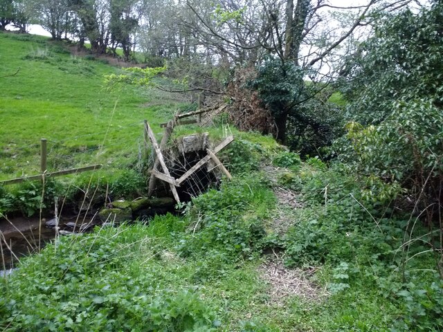
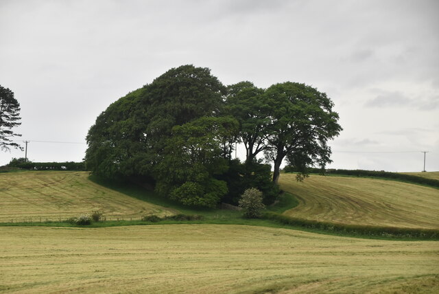
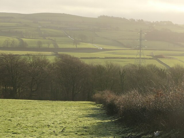
Black Wood is a small forest located in the county of Lancashire, England. Situated in the heart of the Lancashire countryside, it covers an area of approximately 100 acres. The forest is known for its dense, dark foliage, which gives it its distinctive name.

The woodland is home to a variety of tree species, including oak, birch, and beech, which create a rich and diverse habitat for wildlife. The forest floor is covered in a thick carpet of moss and ferns, adding to the enchanting atmosphere of the wood.

Black Wood has a long history, with records dating back several centuries. It was once part of a larger forest that covered much of the surrounding area but has since been reduced in size due to human intervention. Despite this, it remains a significant natural resource and a popular destination for nature enthusiasts and walkers.

The forest offers a network of well-maintained walking trails, allowing visitors to explore its beauty and tranquility. These trails vary in length and difficulty, catering to both casual walkers and more experienced hikers. Along the paths, visitors can spot various wildlife, including squirrels, rabbits, and a wide variety of birds.

Black Wood is managed by the local authorities, who aim to preserve its natural beauty and protect its diverse ecosystem. They regularly conduct conservation work, such as tree planting and maintenance, to ensure the forest remains a haven for wildlife and a cherished natural asset for the local community and visitors alike.

If you have any feedback on the listing, please let us know in the comments section below.
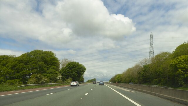
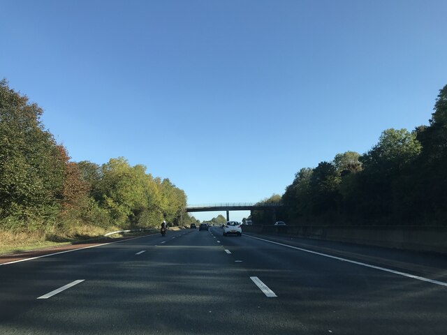
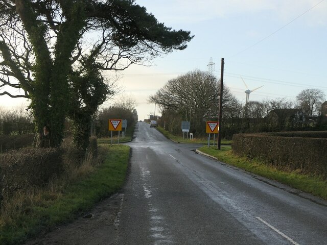
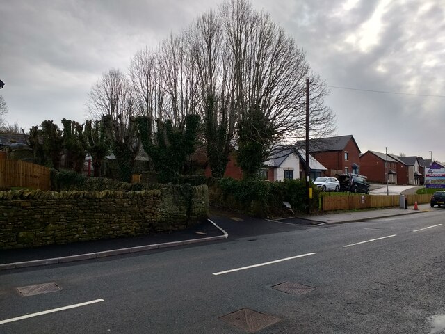
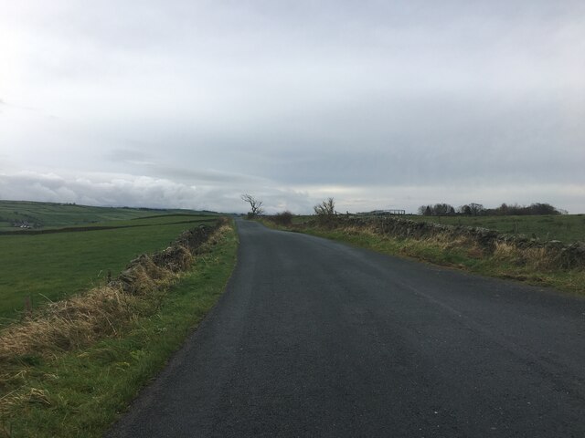
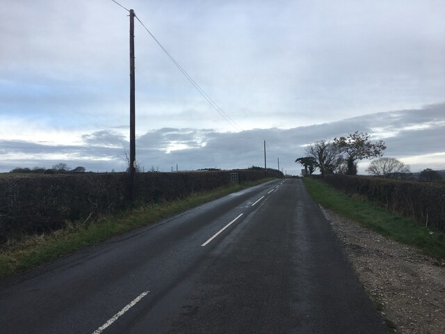
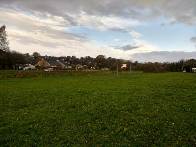
Black Wood Images

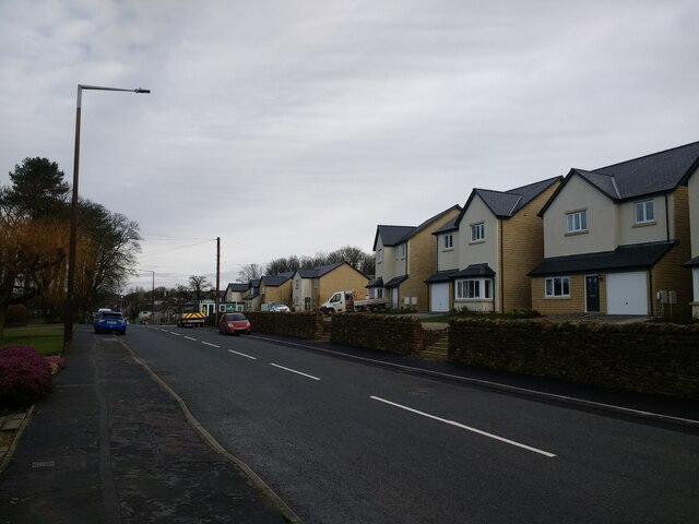
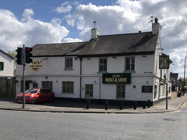
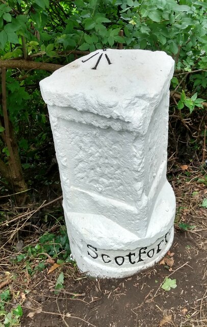
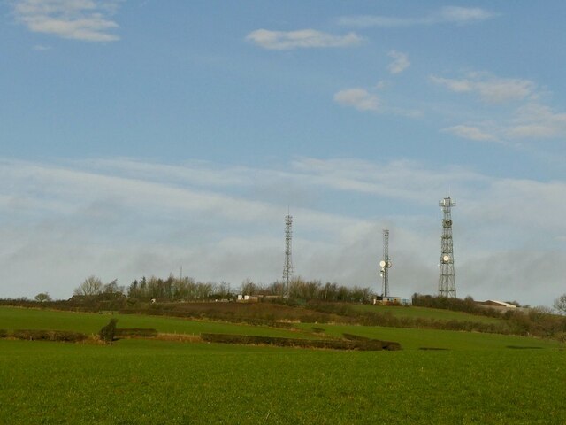
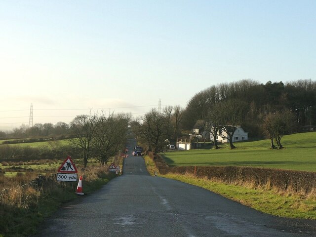
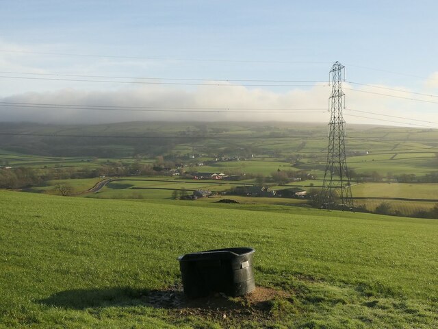
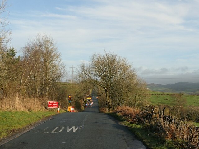
Images are sourced within 2km of 54.034385/-2.7814984 or Grid Reference SD4860. Thanks to Geograph Open Source API. All images are credited.

Power lines crossing M6 at Bailrigg
Blea Tarn Road - M6 northbound
Footbridge -- M6 northbound
Little Fell Lane Crossroads with Blea Tarn Road.
Little Fell Lane
Crossroads with Blea Tarn Road.
New houses and revamped driveway to Hala Carr Farm
New houses at The Paddocks
Old footbridge over Burrow Beck
The Boot & Shoe, Scotforth
Old Milestone by A6, South of Lawson's Bridge The Milestone is located by the road on the West of the road.  Parish of Scotforth (Lancaster District). Stone post (plate lost), Lancaster twin iron plate design, erected by the Garstang & Heronsyke turnpike trust in the 19th Century, edge chips. An earlier photograph can be found here: <a title="https://www.geograph.org.uk/photo/6095824" href="https://www.geograph.org.uk/photo/6095824">Link</a> 

Inscription reads:- 
SCOTFORTH 

Milestone Society National ID: LA_LAGS02
Old Milestone by A6, South of Lawson's Bridge
The Milestone is located by the road on the West of the road.  Parish of Scotforth (Lancaster District). Stone post (plate lost), Lancaster twin iron plate design, erected by the Garstang & Heronsyke turnpike trust in the 19th Century, edge chips. An earlier photograph can be found here: Link  Inscription reads:- SCOTFORTH Milestone Society National ID: LA_LAGS02
Little Fell Road
Little Fell Road
Littlefell Lane
Littlefell Lane
Clump of trees
Clump of trees
New flood defences finished and fenced off on Burrow Beck
Masts, Langthwaite
Masts, Langthwaite
Little Fell Lane
Little Fell Lane
View of Bowland A field at Langthwaite.
View of Bowland
A field at Langthwaite.
Roadworks, Little Fell Lane
Fields, Langthwaite
Fields, Langthwaite
Show me another place!

Black Wood is located at Grid Ref: SD4860 (Lat: 54.034385, Lng: -2.7814984)

Administrative County: Lancashire

District: Lancaster

Police Authority: Lancashire

What 3 Words

///pollution.stems.stripped. Near Lancaster, Lancashire

Related Wikis

St Paul's Church, Scotforth

St Paul's Church is in Scotforth, a suburb of Lancaster, Lancashire, England. It is recorded in the National Heritage List for England as a designated...

Langthwaite Filter House

The Langthwaite Filter House is a house in Langthwaite Road, Quernmore, Lancaster, England. There is also a filter house in Scotforth.Restoration of the...

Bowerham Barracks

Bowerham Barracks was a military installation in Lancaster. == History == The barracks were built in the Fortress Gothic Revival Style between 1876 and...

Scotforth

Scotforth is a suburb in the south of the city of Lancaster in Lancashire, England. It is home to Scotforth St Paul's Church of England Primary School...

Nearby Amenities

Located within 500m of 54.034385,-2.7814984
Post Box
Collection Times: Mo-Fr 09:00, Sa 07:00
Ref: LA1 229
Royal Cypher: EIIR
Royal Cypher Wikidata: Q33102113
Lat/Long: 54.032375/-2.7802887
Noexit: yes
Lat/Long: 54.0357802/-2.7851285
Turning Circle
Noexit: yes
Lat/Long: 54.0359477/-2.7839445
Turning Circle
Noexit: yes
Lat/Long: 54.0380797/-2.7804687
School
Stepping Stones Short Stay School
Addr City: Lancaster
Addr Postcode: LA1 4HT
Addr Street: Bowerham Road
Fhrs Id: 105904
Phone: +44 1524 67164
Website: https://www.steppingstones.lancs.sch.uk/
Lat/Long: 54.0319471/-2.7836567
Crossing
Crossing: uncontrolled
Crossing Island: yes
Kerb: lowered
Tactile Paving: no
Lat/Long: 54.0345478/-2.7868673
Post Box
Collection Times: Mo-Fr 09:00; Sa 07:00
Post Box Type: wall
Ref: LA1 155
Royal Cypher: GR
Royal Cypher Wikidata: Q33102273
Lat/Long: 54.0343975/-2.7862402
Noexit: yes
Lat/Long: 54.0347697/-2.7860608
Noexit: yes
Lat/Long: 54.033668/-2.7864953
Crossing
Crossing: unmarked
Crossing Island: no
Crossing Markings: no
Tactile Paving: no
Lat/Long: 54.0338727/-2.7854037
Turning Circle
Noexit: yes
Lat/Long: 54.0372018/-2.7801675
Bus Stop
Palatine Avenue
Bench: yes
Bin: no
Bus: yes
Lit: yes
Naptan AtcoCode: 2500LA00220
Naptan Bearing: NW
Naptan CommonName: Palatine Avenue
Naptan Indicator: by
Naptan LocalityCode: E0015942
Naptan NaptanCode: langpgtg
Naptan Street: Bowerham Road
Public Transport: platform
Ref: langpgtg
Shelter: yes
Tactile Paving: no
Lat/Long: 54.0350949/-2.7876346
Bus Stop
Palatine Avenue
Bench: no
Bin: no
Bus: yes
Lit: yes
Naptan AtcoCode: 2500DCL3024
Naptan Bearing: SE
Naptan CommonName: Palatine Avenue
Naptan Indicator: opp
Naptan LocalityCode: E0015942
Naptan NaptanCode: landgjgw
Naptan Street: Bowerham Road
Public Transport: platform
Ref: landgjgw
Shelter: no
Tactile Paving: no
Lat/Long: 54.0349954/-2.7872965
Bus Stop
Recreation Ground
Bench: no
Bus: yes
Naptan AtcoCode: 2500LAA16526
Naptan Bearing: NE
Naptan CommonName: Recreation Ground
Naptan Indicator: by
Naptan LocalityCode: E0015942
Naptan Street: Winchester Avenue
Physically Present: no
Public Transport: platform
Shelter: no
Lat/Long: 54.0349569/-2.7821809
Bus Stop
Recreation Ground
Bench: no
Bus: yes
Naptan AtcoCode: 2500LAA16525
Naptan Bearing: SW
Naptan CommonName: Recreation Ground
Naptan Indicator: opp
Naptan LocalityCode: E0015942
Naptan Street: Winchester Avenue
Physically Present: no
Public Transport: platform
Shelter: no
Lat/Long: 54.0349399/-2.7820279
Bus Stop
Windsor Avenue
Bench: no
Bus: yes
Naptan AtcoCode: 2500LAA16524
Naptan Bearing: NW
Naptan CommonName: Windsor Avenue
Naptan Indicator: by
Naptan LocalityCode: E0015942
Naptan Street: Cork Road
Physically Present: no
Public Transport: platform
Shelter: no
Lat/Long: 54.0376887/-2.7850112
Bus Stop
Windsor Avenue
Bench: no
Bus: yes
Naptan AtcoCode: 2500LAA16523
Naptan Bearing: SE
Naptan CommonName: Windsor Avenue
Naptan Indicator: opp
Naptan LocalityCode: E0015942
Naptan Street: Cork Road
Physically Present: no
Public Transport: platform
Shelter: no
Lat/Long: 54.0377876/-2.7850131
Bus Stop
Moorside School
Bench: yes
Bin: yes
Bus: yes
Lit: yes
Naptan AtcoCode: 2500LAA00400
Naptan Bearing: NW
Naptan CommonName: Moorside School
Naptan Indicator: by
Naptan LocalityCode: E0015942
Naptan NaptanCode: langwdjd
Naptan Street: Bowerham Road
Public Transport: platform
Ref: langwdjd
Shelter: yes
Tactile Paving: no
Lat/Long: 54.0334225/-2.7845491
Bus Stop
Chequers Avenue
Bench: no
Bin: no
Bus: yes
Lit: yes
Naptan AtcoCode: 2500LAA07480
Naptan Bearing: S
Naptan CommonName: Chequers Avenue
Naptan Indicator: opp
Naptan Landmark: Chequers Avenue
Naptan LocalityCode: N0078716
Naptan NaptanCode: lanjpgmj
Naptan Street: Newlands Road
Naptan Verified: yes
Public Transport: platform
Ref: lanjpgmj
Shelter: no
Tactile Paving: no
Lat/Long: 54.0331116/-2.7798408
Bus Stop
Fox and Goose
Bench: yes
Bin: yes
Bus: yes
Lit: yes
Naptan AtcoCode: 2500IMG1225
Naptan Bearing: S
Naptan CommonName: Fox and Goose
Naptan Indicator: by
Naptan LocalityCode: N0078716
Naptan NaptanCode: landpmgd
Naptan Street: Bowerham Road
Public Transport: platform
Public Transport Version: 2
Ref: landpmgd
Shelter: yes
Tactile Paving: no
Lat/Long: 54.0316553/-2.7826533
Bus Stop
Moorside School
Bench: yes
Bin: no
Bus: yes
Lit: yes
Naptan AtcoCode: 2500GCT
Naptan Bearing: SE
Naptan CommonName: Moorside School
Naptan Indicator: by
Naptan LocalityCode: N0078716
Naptan NaptanCode: landpamg
Naptan Street: Bowerham Road
Public Transport: platform
Ref: landpamg
Shelter: yes
Tactile Paving: no
Lat/Long: 54.0326663/-2.7833593
Bus Stop
Farmdale Road
Bench: no
Bus: yes
Naptan AtcoCode: 2500LAA16527
Naptan Bearing: E
Naptan CommonName: Farmdale Road
Naptan Indicator: by
Naptan Landmark: Farmdale Road
Naptan LocalityCode: N0078716
Naptan Street: Farmdale Road
Public Transport: platform
Shelter: no
Tactile Paving: no
Lat/Long: 54.0357556/-2.7796002
Bus Stop
Farmdale Road
Bench: no
Bin: no
Bus: yes
Lit: yes
Naptan AtcoCode: 2500DCL3044
Naptan Bearing: SW
Naptan CommonName: Farmdale Road
Naptan Indicator: opp
Naptan LocalityCode: N0078716
Naptan NaptanCode: landgjtp
Naptan Street: Newlands Road
Public Transport: platform
Ref: landgjtp
Shelter: no
Tactile Paving: no
Lat/Long: 54.0346051/-2.7783114
Bus Stop
Fox and Goose
Bench: yes
Bin: no
Bus: yes
Lit: yes
Naptan AtcoCode: 2500DCL3034
Naptan NaptanCode: landgjpg
Public Transport: platform
Shelter: yes
Tactile Paving: no
Lat/Long: 54.030998/-2.7823317
Moorside School
Bus: yes
Public Transport: stop_position
Public Transport Version: 2
Lat/Long: 54.0334633/-2.7844962
Fox and Goose
Bus: yes
Public Transport: stop_position
Public Transport Version: 2
Lat/Long: 54.0316681/-2.7825747
Ascot Close
Bus: yes
Public Transport: stop_position
Public Transport Version: 2
Lat/Long: 54.0304923/-2.7848551
Bus Stop
Ascot Close
Bench: yes
Bin: no
Bus: yes
Lit: yes
Naptan AtcoCode: 2500IMG1227
Naptan Bearing: NE
Naptan CommonName: Ascot Close
Naptan Indicator: by
Naptan Landmark: Kempton Road
Naptan LocalityCode: N0078717
Naptan NaptanCode: landpmgm
Naptan Street: Kempton Road
Naptan Verified: yes
Public Transport: platform
Ref: landpmgm
Shelter: yes
Tactile Paving: no
Lat/Long: 54.0305263/-2.7848763
Palatine Avenue
Bus: yes
Public Transport: stop_position
Public Transport Version: 2
Lat/Long: 54.0350084/-2.7874163
Palatine Avenue
Bus: yes
Public Transport: stop_position
Public Transport Version: 2
Lat/Long: 54.0350995/-2.7875001
Ascot Close
Bus: yes
Public Transport: stop_position
Lat/Long: 54.0305664/-2.7846076
Bus Stop
Ascot Close
Bench: yes
Bin: no
Bus: yes
Lit: yes
Naptan AtcoCode: 2500DCL3036
Naptan Bearing: W
Naptan CommonName: Ascot Close
Naptan Indicator: opp
Naptan Landmark: Kempton Road
Naptan LocalityCode: N0078717
Naptan NaptanCode: landgjpm
Naptan Street: Kempton Road
Naptan Verified: yes
Public Transport: platform
Ref: landgjpm
Shelter: yes
Tactile Paving: no
Lat/Long: 54.0305282/-2.7845862
Give Way
Direction: backward
Lat/Long: 54.0305861/-2.7846855
Give Way
Direction: forward
Lat/Long: 54.0306278/-2.784027
Give Way
Direction: forward
Lat/Long: 54.0306609/-2.7825129
Give Way
Direction: forward
Lat/Long: 54.0312068/-2.7823256
Fox and Goose
Bus: yes
Public Transport: stop_position
Lat/Long: 54.0310103/-2.7824042
Moorside School
Bus: yes
Public Transport: stop_position
Lat/Long: 54.0326459/-2.7834262
Windsor Avenue
Bus: yes
Public Transport: stop_position
Lat/Long: 54.0377725/-2.7850442
Windsor Avenue
Bus: yes
Public Transport: stop_position
Lat/Long: 54.0377083/-2.7849577
Recreation Ground
Bus: yes
Public Transport: stop_position
Lat/Long: 54.0349496/-2.7821107
Chequers Avenue
Bus: yes
Public Transport: stop_position
Lat/Long: 54.0331137/-2.7799018
Farmdale Road
Bus: yes
Public Transport: stop_position
Lat/Long: 54.0357471/-2.7796342
Fringe Benefits
Addr City: Lancaster
Addr Housenumber: 199
Addr Postcode: LA1 4HT
Addr Street: Bowerham Road
Female Signed: no
Male Signed: no
Opening Hours Signed: no
Phone: +44 1524 66915
Shop: hairdresser
Wheelchair: limited
Lat/Long: 54.0328037/-2.7833059
Wolfwood
Addr City: Lancaster
Addr Housenumber: 201
Addr Postcode: LA1 4HT
Addr Street: Bowerham Road
Opening Hours Signed: no
Shop: charity
Website: http://wolfwood.co.uk
Wheelchair: limited
Lat/Long: 54.0327581/-2.7832456
Noexit: yes
Lat/Long: 54.031792/-2.783354
Crossing
Check Date Tactile Paving: 2023-05-22
Crossing: uncontrolled
Crossing Island: yes
Tactile Paving: no
Lat/Long: 54.0352226/-2.7876131
School
Moorside Pre-School
Addr City: Lancaster
Addr Housename: Moorside Primary School
Addr Postcode: LA1 4HT
Addr Street: Bowerham Road
Fhrs Id: 114752
Website: https://moorsidepreschool.co.uk/
Lat/Long: 54.03301/-2.7846059
Grit Bin
Lat/Long: 54.0364296/-2.7816972
Give Way
Direction: forward
Lat/Long: 54.0365291/-2.7820032
Give Way
Direction: forward
Lat/Long: 54.036226/-2.7826068
Give Way
Direction: forward
Lat/Long: 54.0369704/-2.7838888
Give Way
Direction: backward
Lat/Long: 54.0373871/-2.7845471
Give Way
Direction: backward
Lat/Long: 54.0377719/-2.7851377
Give Way
Direction: forward
Lat/Long: 54.0381253/-2.7856839
Give Way
Direction: backward
Lat/Long: 54.0351594/-2.7874995
Waste Basket
Lat/Long: 54.0344849/-2.782582
Give Way
Direction: forward
Lat/Long: 54.0334953/-2.7833887
Give Way
Direction: forward
Lat/Long: 54.0330432/-2.7838269
Give Way
Direction: backward
Lat/Long: 54.0343482/-2.7850742
Give Way
Direction: backward
Lat/Long: 54.0340623/-2.7855815
Waste Basket
Lat/Long: 54.0351491/-2.7837407
Give Way
Direction: forward
Lat/Long: 54.0351715/-2.7838803
Give Way
Direction: forward
Lat/Long: 54.034533/-2.7849789
Give Way
Direction: backward
Lat/Long: 54.0354563/-2.784572
Give Way
Direction: forward
Lat/Long: 54.035764/-2.7831197
Give Way
Direction: backward
Lat/Long: 54.0348266/-2.7856211
Barrier: bollard
Bollard: fixed
Lat/Long: 54.0346036/-2.7862062
Give Way
Direction: forward
Lat/Long: 54.0363453/-2.7815827
Grit Bin
Lat/Long: 54.0375562/-2.780635
Give Way
Direction: forward
Lat/Long: 54.0375545/-2.7808426
Give Way
Direction: backward
Lat/Long: 54.0342197/-2.78709
Give Way
Direction: forward
Lat/Long: 54.034786/-2.7873485
Give Way
Direction: forward
Lat/Long: 54.0352928/-2.7877803
Give Way
Direction: backward
Lat/Long: 54.0345525/-2.7869944
Give Way
Direction: backward
Lat/Long: 54.0358189/-2.7882443
Waste Basket
Lat/Long: 54.0316739/-2.7826748
Crossing
Crossing: unmarked
Crossing Island: no
Crossing Markings: no
Kerb: lowered
Tactile Paving: yes
Lat/Long: 54.0307886/-2.7823497
Recycling
Brand: The Salvation Army
Brand Wikidata: Q188307
Operator: The Salvation Army
Recycling Clothes: yes
Recycling Shoes: yes
Recycling Type: container
Lat/Long: 54.0311687/-2.7814934
Generator Method: photovoltaic
Generator Orientation: west
Generator Output Electricity: yes
Generator Solar Modules: 14
Generator Source: solar
Generator Type: solar_photovoltaic_panel
Location: roof
Power: generator
Lat/Long: 54.0311333/-2.7844182
Generator Method: photovoltaic
Generator Orientation: west
Generator Output Electricity: yes
Generator Solar Modules: 14
Generator Source: solar
Generator Type: solar_photovoltaic_panel
Location: roof
Power: generator
Lat/Long: 54.0309211/-2.7851169
Generator Method: photovoltaic
Generator Orientation: south_west
Generator Output Electricity: yes
Generator Solar Modules: 15
Generator Source: solar
Generator Type: solar_photovoltaic_panel
Location: roof
Power: generator
Lat/Long: 54.0350466/-2.7782142
Give Way
Direction: forward
Lat/Long: 54.0349087/-2.7778524
Give Way
Direction: forward
Lat/Long: 54.0344594/-2.7792422
Give Way
Direction: forward
Lat/Long: 54.0342108/-2.7794855
Give Way
Direction: backward
Lat/Long: 54.0341825/-2.7794197
Give Way
Direction: backward
Lat/Long: 54.0340505/-2.779563
Give Way
Direction: backward
Lat/Long: 54.0341004/-2.7796465
Waste Basket
Waste: dog_excrement
Lat/Long: 54.034838/-2.778103
Generator Method: photovoltaic
Generator Orientation: east
Generator Output Electricity: yes
Generator Solar Modules: 6
Generator Source: solar
Generator Type: solar_photovoltaic_panel
Location: roof
Power: generator
Lat/Long: 54.0337192/-2.7803779
Generator Method: photovoltaic
Generator Orientation: east
Generator Output Electricity: yes
Generator Solar Modules: 10
Generator Source: solar
Generator Type: solar_photovoltaic_panel
Location: roof
Power: generator
Lat/Long: 54.0335612/-2.7804926
Generator Method: photovoltaic
Generator Orientation: south_east
Generator Output Electricity: yes
Generator Solar Modules: 8
Generator Source: solar
Generator Type: solar_photovoltaic_panel
Location: roof
Power: generator
Lat/Long: 54.0369716/-2.7862797
Generator Method: photovoltaic
Generator Orientation: south_east
Generator Output Electricity: yes
Generator Solar Modules: 8
Generator Source: solar
Generator Type: solar_photovoltaic_panel
Location: roof
Power: generator
Lat/Long: 54.0370031/-2.7862151
Generator Method: photovoltaic
Generator Orientation: east
Generator Output Electricity: yes
Generator Solar Modules: 10
Generator Source: solar
Generator Type: solar_photovoltaic_panel
Location: roof
Power: generator
Lat/Long: 54.0312147/-2.7834898
Generator Method: photovoltaic
Generator Output Electricity: yes
Generator Source: solar
Generator Type: solar_photovoltaic_panel
Location: roof
Power: generator
Lat/Long: 54.031462/-2.7828191
Generator Method: photovoltaic
Generator Output Electricity: yes
Generator Source: solar
Generator Type: solar_photovoltaic_panel
Location: roof
Power: generator
Lat/Long: 54.0329806/-2.7835232
Generator Method: photovoltaic
Generator Output Electricity: yes
Generator Source: solar
Generator Type: solar_photovoltaic_panel
Location: roof
Power: generator
Lat/Long: 54.0334069/-2.7831375
Generator Method: photovoltaic
Generator Orientation: south
Generator Output Electricity: yes
Generator Solar Modules: 18
Generator Source: solar
Generator Type: solar_photovoltaic_panel
Location: roof
Power: generator
Lat/Long: 54.0354635/-2.7820502
Generator Method: photovoltaic
Generator Orientation: south
Generator Output Electricity: yes
Generator Solar Modules: 16
Generator Source: solar
Generator Type: solar_photovoltaic_panel
Location: roof
Power: generator
Lat/Long: 54.0355919/-2.7819743
Generator Method: photovoltaic
Generator Orientation: south
Generator Output Electricity: yes
Generator Solar Modules: 14
Generator Source: solar
Generator Type: solar_photovoltaic_panel
Location: roof
Power: generator
Lat/Long: 54.035806/-2.7817556
Generator Method: photovoltaic
Generator Orientation: west
Generator Output Electricity: yes
Generator Solar Modules: 8
Generator Source: solar
Generator Type: solar_photovoltaic_panel
Location: roof
Power: generator
Lat/Long: 54.0360468/-2.7818589
Generator Method: photovoltaic
Generator Orientation: south
Generator Output Electricity: yes
Generator Solar Modules: 9
Generator Source: solar
Generator Type: solar_photovoltaic_panel
Location: roof
Power: generator
Lat/Long: 54.0362198/-2.7818346
Generator Method: photovoltaic
Generator Orientation: south
Generator Output Electricity: yes
Generator Solar Modules: 16
Generator Source: solar
Generator Type: solar_photovoltaic_panel
Location: roof
Power: generator
Lat/Long: 54.037413/-2.7807534
Generator Method: photovoltaic
Generator Orientation: east
Generator Output Electricity: yes
Generator Solar Modules: 8
Generator Source: solar
Generator Type: solar_photovoltaic_panel
Location: roof
Power: generator
Lat/Long: 54.0368637/-2.7808931
Generator Method: photovoltaic
Generator Orientation: west
Generator Output Electricity: yes
Generator Solar Modules: 6
Generator Source: solar
Generator Type: solar_photovoltaic_panel
Location: roof
Power: generator
Lat/Long: 54.034973/-2.7802037
Generator Method: photovoltaic
Generator Orientation: south_west
Generator Output Electricity: yes
Generator Solar Modules: 18
Generator Source: solar
Generator Type: solar_photovoltaic_panel
Location: roof
Power: generator
Lat/Long: 54.0369083/-2.782196
Generator Method: photovoltaic
Generator Output Electricity: yes
Generator Source: solar
Generator Type: solar_photovoltaic_panel
Location: roof
Power: generator
Lat/Long: 54.0376895/-2.7818072
Generator Method: photovoltaic
Generator Orientation: south_west
Generator Output Electricity: yes
Generator Solar Modules: 15
Generator Source: solar
Generator Type: solar_photovoltaic_panel
Location: roof
Power: generator
Lat/Long: 54.0370171/-2.783016
Generator Method: photovoltaic
Generator Orientation: south_east
Generator Output Electricity: yes
Generator Solar Modules: 8
Generator Source: solar
Generator Type: solar_photovoltaic_panel
Location: roof
Power: generator
Lat/Long: 54.0368779/-2.7857616
Generator Method: photovoltaic
Generator Orientation: south_east
Generator Output Electricity: yes
Generator Solar Modules: 16
Generator Source: solar
Generator Type: solar_photovoltaic_panel
Location: roof
Power: generator
Lat/Long: 54.0345289/-2.7861564
Generator Method: photovoltaic
Generator Orientation: south_west
Generator Output Electricity: yes
Generator Solar Modules: 8
Generator Source: solar
Generator Type: solar_photovoltaic_panel
Location: roof
Power: generator
Lat/Long: 54.0369722/-2.7863213
Generator Method: photovoltaic
Generator Orientation: west
Generator Output Electricity: yes
Generator Solar Modules: 8
Generator Source: solar
Generator Type: solar_photovoltaic_panel
Location: roof
Power: generator
Lat/Long: 54.0368743/-2.7809505
Generator Method: photovoltaic
Generator Orientation: south
Generator Output Electricity: yes
Generator Solar Modules: 8
Generator Source: solar
Generator Type: solar_photovoltaic_panel
Location: roof
Power: generator
Lat/Long: 54.0377656/-2.7810489
Generator Method: photovoltaic
Generator Orientation: south
Generator Output Electricity: yes
Generator Solar Modules: 7
Generator Source: solar
Generator Type: solar_photovoltaic_panel
Location: roof
Power: generator
Lat/Long: 54.0348892/-2.7799852
Generator Method: photovoltaic
Generator Orientation: south
Generator Output Electricity: yes
Generator Solar Modules: 6
Generator Source: solar
Generator Type: solar_photovoltaic_panel
Location: roof
Power: generator
Lat/Long: 54.0347805/-2.7878008
Generator Method: photovoltaic
Generator Orientation: west
Generator Output Electricity: yes
Generator Solar Modules: 6
Generator Source: solar
Generator Type: solar_photovoltaic_panel
Location: roof
Power: generator
Lat/Long: 54.034779/-2.7877519
Noexit: yes
Lat/Long: 54.03094/-2.7819794
Barrier: entrance
Lat/Long: 54.0334434/-2.7872662
Barrier: entrance
Lat/Long: 54.0333877/-2.7873192
Generator Method: photovoltaic
Generator Orientation: south
Generator Output Electricity: yes
Generator Solar Modules: 6
Generator Source: solar
Generator Type: solar_photovoltaic_panel
Location: roof
Power: generator
Lat/Long: 54.0305967/-2.7810588
Waste Basket
Lat/Long: 54.0313178/-2.7852459
Ford: yes
Lat/Long: 54.0316145/-2.7838881
Bench
Backrest: yes
Material: wood
Seats: 2
Lat/Long: 54.03239/-2.7802836
Give Way
Direction: forward
Lat/Long: 54.032519/-2.7802095
Crossing
Crossing: unmarked
Crossing Island: no
Crossing Markings: no
Tactile Paving: no
Lat/Long: 54.0340652/-2.7858291
Give Way
Direction: forward
Lat/Long: 54.0340488/-2.7858533
Entrance: yes
Lat/Long: 54.0338641/-2.7857871
Entrance: yes
Lat/Long: 54.0336433/-2.7855979
Give Way
Direction: forward
Lat/Long: 54.0325739/-2.7832709
Generator Method: photovoltaic
Generator Orientation: west
Generator Output Electricity: yes
Generator Solar Modules: 6
Generator Source: solar
Generator Type: solar_photovoltaic_panel
Location: roof
Power: generator
Lat/Long: 54.0337316/-2.7804492
Generator Method: photovoltaic
Generator Orientation: south
Generator Output Electricity: yes
Generator Solar Modules: 8
Generator Source: solar
Generator Type: solar_photovoltaic_panel
Location: roof
Power: generator
Lat/Long: 54.0335721/-2.7804455
Generator Method: photovoltaic
Generator Orientation: east
Generator Output Electricity: yes
Generator Solar Modules: 6
Generator Source: solar
Generator Type: solar_photovoltaic_panel
Location: roof
Power: generator
Lat/Long: 54.0335645/-2.7810514
Generator Method: photovoltaic
Generator Orientation: south
Generator Output Electricity: yes
Generator Solar Modules: 6
Generator Source: solar
Generator Type: solar_photovoltaic_panel
Location: roof
Power: generator
Lat/Long: 54.0335569/-2.7811124
Man Made: manhole
Manhole: water
Lat/Long: 54.0353466/-2.7866388
Man Made: manhole
Manhole: water
Lat/Long: 54.0353304/-2.786603
Man Made: manhole
Manhole: water
Lat/Long: 54.035315/-2.7865719
Man Made: manhole
Manhole: water
Lat/Long: 54.0353323/-2.7865507
Man Made: manhole
Manhole: water
Lat/Long: 54.0352968/-2.7865214
Generator Method: photovoltaic
Generator Orientation: south_east
Generator Output Electricity: yes
Generator Solar Modules: 15
Generator Source: solar
Generator Type: solar_photovoltaic_panel
Location: roof
Power: generator
Lat/Long: 54.0376099/-2.7801995
Generator Method: photovoltaic
Generator Orientation: south_east
Generator Output Electricity: yes
Generator Solar Modules: 17
Generator Source: solar
Generator Type: solar_photovoltaic_panel
Location: roof
Power: generator
Lat/Long: 54.0371887/-2.7798294
Generator Method: photovoltaic
Generator Orientation: south_west
Generator Output Electricity: yes
Generator Solar Modules: 16
Generator Source: solar
Generator Type: solar_photovoltaic_panel
Location: roof
Power: generator
Lat/Long: 54.036962/-2.7799552
Generator Method: photovoltaic
Generator Orientation: west
Generator Output Electricity: yes
Generator Solar Modules: 9
Generator Source: solar
Generator Type: solar_photovoltaic_panel
Location: roof
Power: generator
Lat/Long: 54.036839/-2.7815022
Generator Method: photovoltaic
Generator Orientation: east
Generator Output Electricity: yes
Generator Solar Modules: 9
Generator Source: solar
Generator Type: solar_photovoltaic_panel
Location: roof
Power: generator
Lat/Long: 54.0368321/-2.7814115
Generator Method: photovoltaic
Generator Orientation: south_east
Generator Output Electricity: yes
Generator Solar Modules: 9
Generator Source: solar
Generator Type: solar_photovoltaic_panel
Location: roof
Power: generator
Lat/Long: 54.0377558/-2.783288
Generator Method: photovoltaic
Generator Orientation: south_east
Generator Output Electricity: yes
Generator Solar Modules: 6
Generator Source: solar
Generator Type: solar_photovoltaic_panel
Location: roof
Power: generator
Lat/Long: 54.0378541/-2.7842542
Generator Method: photovoltaic
Generator Orientation: south_west
Generator Output Electricity: yes
Generator Solar Modules: 6
Generator Source: solar
Generator Type: solar_photovoltaic_panel
Location: roof
Power: generator
Lat/Long: 54.0378485/-2.7843235
Noexit: yes
Lat/Long: 54.0305702/-2.7822772
Crossing
Crossing: unmarked
Crossing Island: yes
Crossing Markings: no
Kerb: lowered
Tactile Paving: yes
Lat/Long: 54.0305328/-2.7824564
Crossing
Crossing: unmarked
Crossing Island: no
Crossing Markings: no
Kerb: lowered
Tactile Paving: yes
Lat/Long: 54.0306629/-2.7825609
Noexit: yes
Lat/Long: 54.0316978/-2.7835502
Noexit: yes
Lat/Long: 54.0318803/-2.783135
Entrance: main
Lat/Long: 54.0326759/-2.7845512
Street Lamp
Lat/Long: 54.0326017/-2.7834788
Waste Basket
Lat/Long: 54.0323055/-2.7833176
Entrance: main
Lat/Long: 54.0318878/-2.7836212
Entrance: main
Lat/Long: 54.0315167/-2.7827568
Barrier: kerb
Kerb: lowered
Tactile Paving: no
Lat/Long: 54.0312912/-2.782052
Barrier: kerb
Kerb: lowered
Tactile Paving: no
Lat/Long: 54.0312276/-2.7820253
Street Lamp
Lat/Long: 54.0313677/-2.7822721
Entrance: main
Lat/Long: 54.0317198/-2.7829796
Crossing
Crossing: unmarked
Crossing Island: no
Crossing Markings: no
Kerb: lowered
Tactile Paving: yes
Lat/Long: 54.034078/-2.7855595
Crossing
Crossing: unmarked
Crossing Island: no
Crossing Markings: no
Kerb: lowered
Tactile Paving: yes
Lat/Long: 54.033054/-2.7838042
Crossing
Crossing: unmarked
Crossing Island: no
Crossing Markings: no
Kerb: lowered
Tactile Paving: no
Lat/Long: 54.0325818/-2.7832505
Barrier: entrance
Lat/Long: 54.0302874/-2.7823705
Give Way
Direction: backward
Lat/Long: 54.0300371/-2.782452
Crossing
Crossing: unmarked
Crossing Island: no
Crossing Markings: no
Tactile Paving: yes
Lat/Long: 54.0343388/-2.7850557
The data included in this document is from www.openstreetmap.org. The data is made available under ODbL.

Have you been to Black Wood?

Leave your review of Black Wood below (or comments, questions and feedback).