Glac a' Mhuilinn
Settlement in Argyllshire
Scotland
Glac a' Mhuilinn
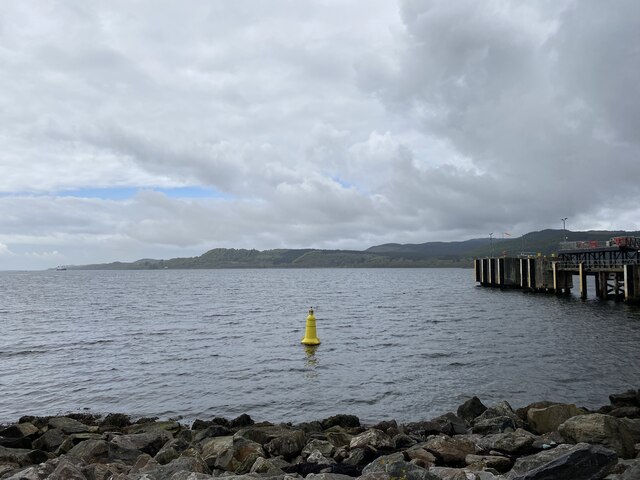
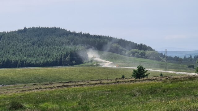
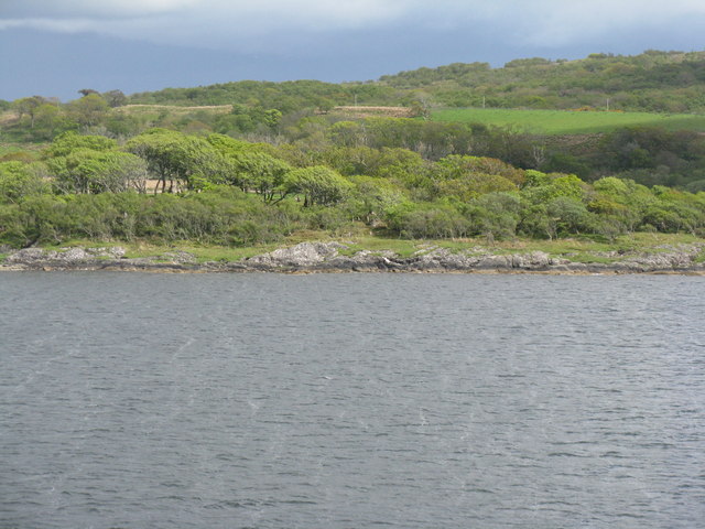
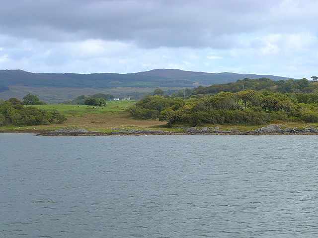
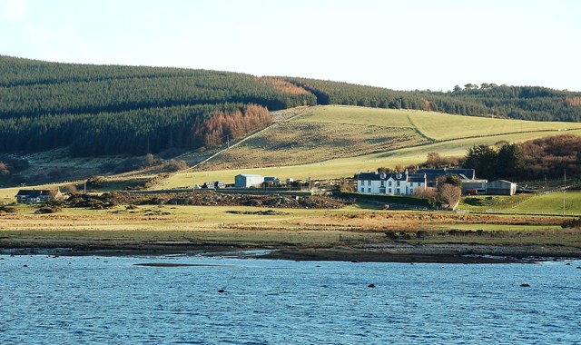
Glac a' Mhuilinn, located in Argyllshire, Scotland, is a picturesque and enchanting place that offers visitors a unique blend of natural beauty and historical significance. Nestled amidst the rugged hills and rolling landscapes, this charming hamlet is renowned for its breathtaking scenery and tranquil atmosphere.
The highlight of Glac a' Mhuilinn is undoubtedly its stunning waterfall. Cascading down from the nearby mountains, the waterfall creates a mesmerizing sight as the water gushes and sparkles in the sunlight. Visitors can enjoy the sound of the rushing water while immersing themselves in the serene surroundings.
Beyond its natural wonders, Glac a' Mhuilinn boasts a rich history. The village is home to a well-preserved ancient mill, which was once the heart of the community. This historic structure, dating back several centuries, serves as a reminder of the village's industrial past and the importance of milling in the local economy.
The village also offers a range of outdoor activities for nature enthusiasts. Hiking trails wind through the surrounding countryside, providing opportunities for exploration and wildlife spotting. Additionally, fishing enthusiasts can try their luck in the nearby river, known for its abundance of salmon and trout.
Glac a' Mhuilinn is a haven for those seeking respite from the hustle and bustle of city life. Its unspoiled natural beauty, combined with its rich history, makes it a must-visit destination for those looking to immerse themselves in the charm of rural Scotland.
If you have any feedback on the listing, please let us know in the comments section below.
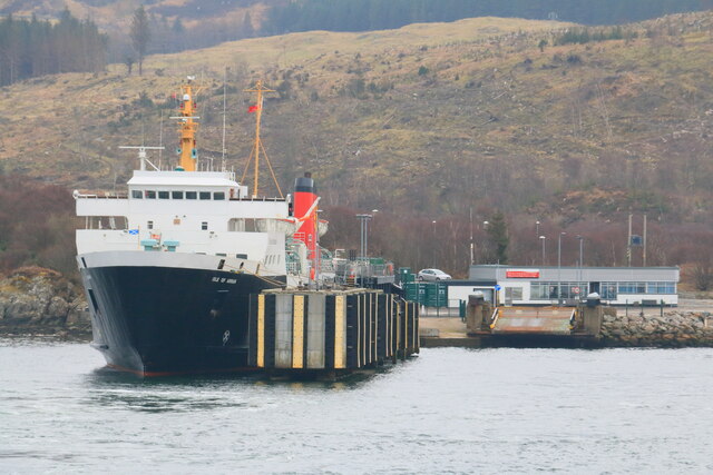
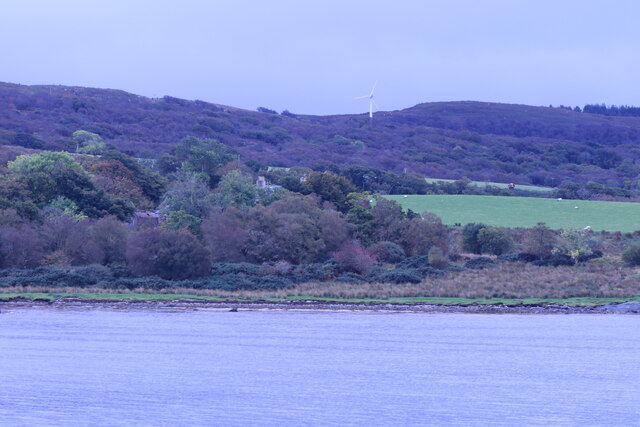
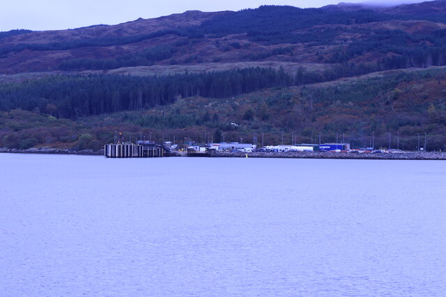
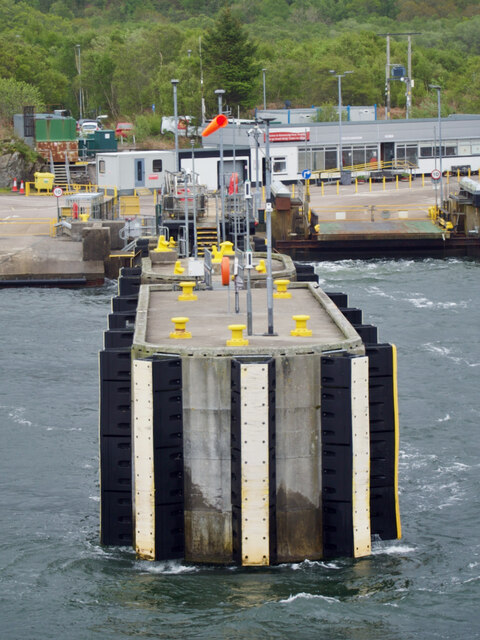
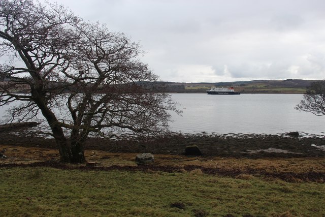
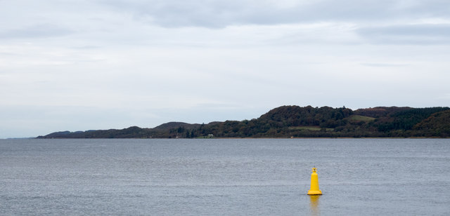
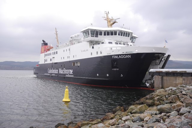
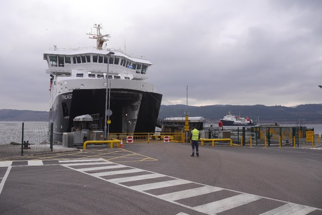
Glac a' Mhuilinn Images
Images are sourced within 2km of 55.795051/-5.4844543 or Grid Reference NR8161. Thanks to Geograph Open Source API. All images are credited.


Glac a' Mhuilinn is located at Grid Ref: NR8161 (Lat: 55.795051, Lng: -5.4844543)
Unitary Authority: Argyll and Bute
Police Authority: Argyll and West Dunbartonshire
Also known as: Whitehouse
What 3 Words
///good.life.mega. Near Tarbert, Argyll & Bute
Nearby Locations
Related Wikis

Whitehouse, Argyll
Whitehouse (Scottish Gaelic: An Taigh Bàn, pronounced [ən̪ˠ t̪ʰɤj ˈpaːn]) is a hamlet on the Kintyre peninsula of Argyll and Bute, Scotland. It is located...

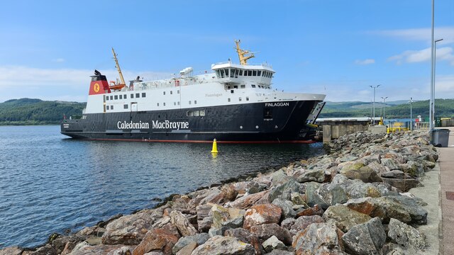
Kennacraig
Kennacraig (Scottish Gaelic: Ceann na Creige) is a hamlet situated on West Loch Tarbert, a five miles (eight kilometres) southwest of Tarbert on the Kintyre...

Eilean Ceann na Creige
Eilean Ceann na Creige is a small island near Kennacraig in West Loch Tarbert in Scotland. Ceann na Creige is Gaelic for head of the rock.Eilean Ceann...

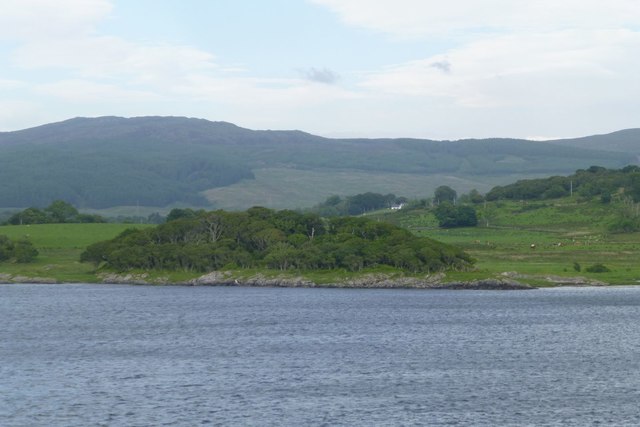
West Loch Tarbert, Argyll
West Loch Tarbert, Argyll is a long and narrow sea loch on the western side of the Kintyre peninsula in Scotland. == Geography == The head of the loch...

Torinturk
Torinturk (Scottish Gaelic: Tòrr an Tuirc) is a village in Argyll and Bute, Scotland. Torinturk is 5 miles (8 km) from Tarbert. Torinturk comes from the...

Dùn a' Choin Duibh
Dùn a' Choin Duibh (Scottish Gaelic: Fort of the Black Dog) is a hillfort located near Torinturk, Argyll and Bute, Scotland. According to the local shanachies...
Loup House
Loup House is a manor house north of Clachan on the Kintyre peninsula of Argyll, Scotland. The estate was once home to the chiefs of Clan MacAlister, and...
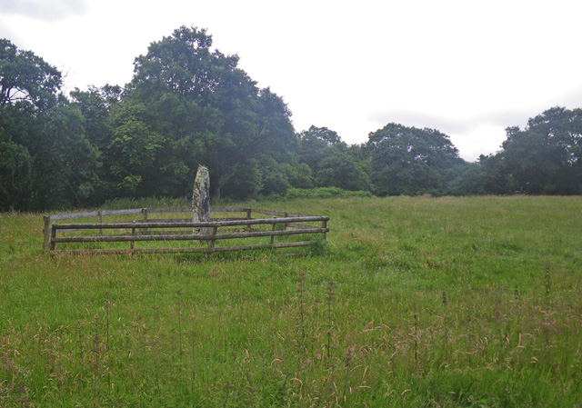
Avinagillan standing stone
The Avinagillan standing stone is a prehistoric menhir on the Kintyre Peninsula of Scotland. The stone is near the hamlet of Avinagillan. == See also... ==
Nearby Amenities
Located within 500m of 55.795051,-5.4844543Have you been to Glac a' Mhuilinn?
Leave your review of Glac a' Mhuilinn below (or comments, questions and feedback).