Millbrae Plantations
Wood, Forest in Argyllshire
Scotland
Millbrae Plantations
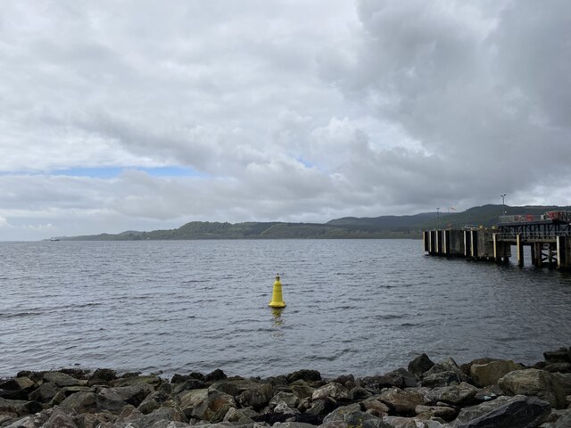
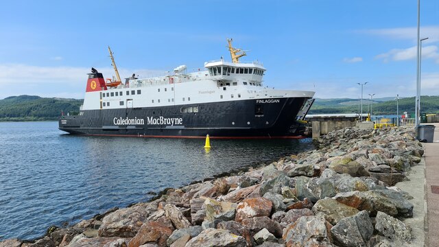
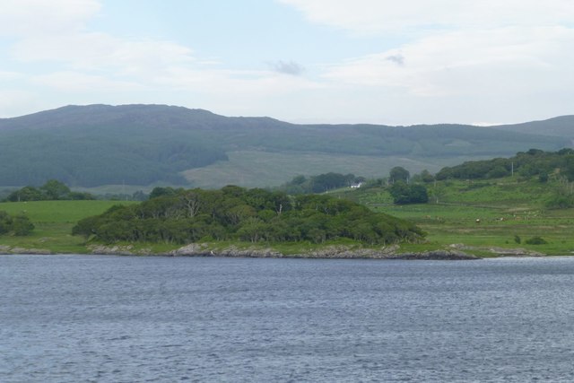
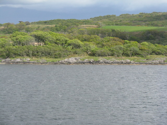
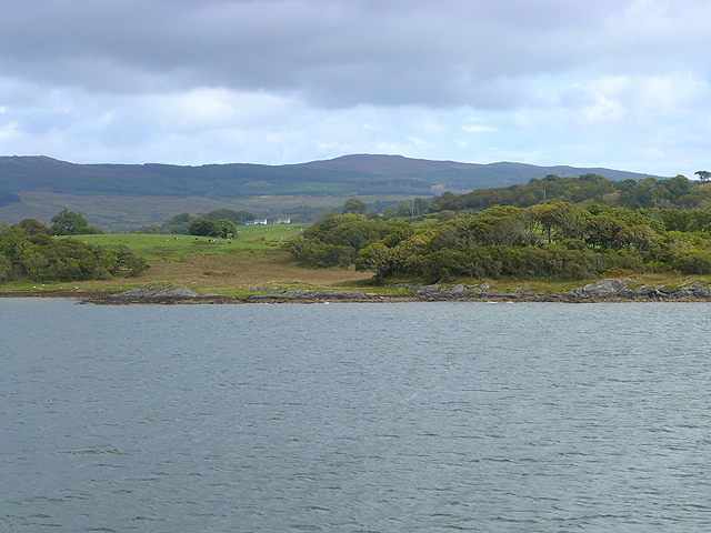
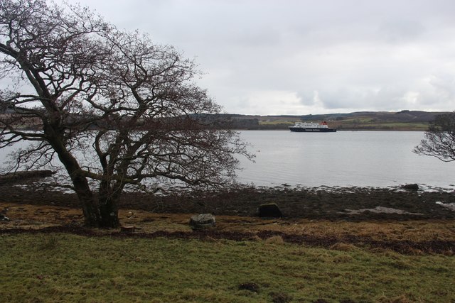
Millbrae Plantations is a picturesque woodland area located in Argyllshire, Scotland. Situated in the western part of the country, the plantation spans across a vast area, rich in natural beauty and diverse flora and fauna.
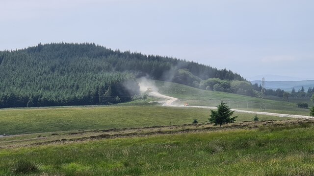
The woodland is characterized by its dense coverage of various tree species, including oak, pine, birch, and beech. These trees create a majestic canopy, providing shade and a habitat for numerous animal species. The forest floor is adorned with a carpet of ferns, moss, and wildflowers, adding to its enchanting appeal.
Millbrae Plantations is not only a haven of natural beauty but also serves as an important ecological site. The woodland provides a habitat for various wildlife species, including red squirrels, deer, and a wide variety of birds. Nature enthusiasts and birdwatchers frequent the area to observe and appreciate the diverse bird population that calls the plantation home.
The plantation is accessible to the public, offering an opportunity for visitors to immerse themselves in the tranquil surroundings. Walking trails wind through the woodland, allowing visitors to explore and discover the hidden gems of Millbrae Plantations. The trails are well-maintained, ensuring a pleasant and safe experience for all who venture into the forest.
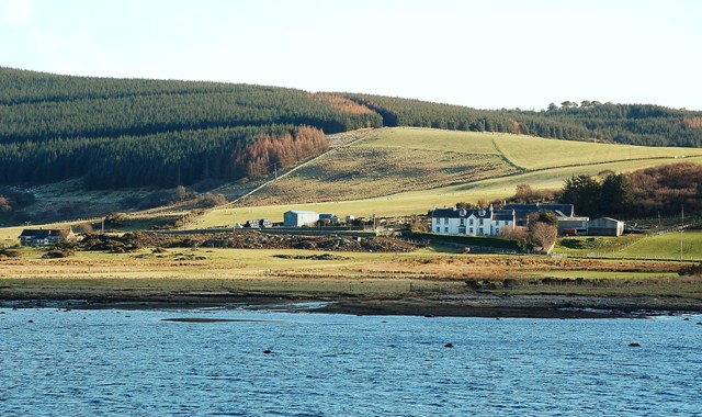
Millbrae Plantations is not only a natural treasure but also a site of historical significance. The woodland has witnessed centuries of human activities, including timber extraction and traditional land management practices. This adds a layer of cultural heritage to the already captivating natural landscape.
In conclusion, Millbrae Plantations in Argyllshire is a captivating woodland area that offers visitors a chance to immerse themselves in nature, discover diverse wildlife, and explore the rich history of the region.
If you have any feedback on the listing, please let us know in the comments section below.
Millbrae Plantations Images
Images are sourced within 2km of 55.794273/-5.4877842 or Grid Reference NR8161. Thanks to Geograph Open Source API. All images are credited.


Millbrae Plantations is located at Grid Ref: NR8161 (Lat: 55.794273, Lng: -5.4877842)
Unitary Authority: Argyll and Bute
Police Authority: Argyll and West Dunbartonshire
What 3 Words
///beefed.televise.plunge. Near Tarbert, Argyll & Bute
Nearby Locations
Related Wikis

Whitehouse, Argyll
Whitehouse (Scottish Gaelic: An Taigh Bàn, pronounced [ən̪ˠ t̪ʰɤj ˈpaːn]) is a hamlet on the Kintyre peninsula of Argyll and Bute, Scotland. It is located...

Kennacraig
Kennacraig (Scottish Gaelic: Ceann na Creige) is a hamlet situated on West Loch Tarbert, a five miles (eight kilometres) southwest of Tarbert on the Kintyre...

Eilean Ceann na Creige
Eilean Ceann na Creige is a small island near Kennacraig in West Loch Tarbert in Scotland. Ceann na Creige is Gaelic for head of the rock.Eilean Ceann...

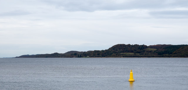
West Loch Tarbert, Argyll
West Loch Tarbert, Argyll is a long and narrow sea loch on the western side of the Kintyre peninsula in Scotland. == Geography == The head of the loch...

Dùn a' Choin Duibh
Dùn a' Choin Duibh (Scottish Gaelic: Fort of the Black Dog) is a hillfort located near Torinturk, Argyll and Bute, Scotland. According to the local shanachies...

Torinturk
Torinturk (Scottish Gaelic: Tòrr an Tuirc) is a village in Argyll and Bute, Scotland. Torinturk is 5 miles (8 km) from Tarbert. Torinturk comes from the...
Loup House
Loup House is a manor house north of Clachan on the Kintyre peninsula of Argyll, Scotland. The estate was once home to the chiefs of Clan MacAlister, and...

Ardpatrick, Argyll
Ardpatrick (Scottish Gaelic: Àird Phàdraig) is a village at the southwestern extremity of the Knapdale, Argyll, Scotland. The village is built along the...
Nearby Amenities
Located within 500m of 55.794273,-5.4877842Have you been to Millbrae Plantations?
Leave your review of Millbrae Plantations below (or comments, questions and feedback).