Cnoc Donn
Hill, Mountain in Argyllshire
Scotland
Cnoc Donn
Cnoc Donn is a prominent hill located in Argyllshire, Scotland. It is situated in the southern part of the county, near the village of Kilfinan. Standing at an elevation of approximately 314 meters (1,030 feet), Cnoc Donn offers breathtaking views of the surrounding landscapes, including the Firth of Clyde and the nearby hills and mountains.
The hill is characterized by its rugged and rocky terrain, with scattered vegetation and heather covering its slopes. Its distinctive reddish-brown color gives it its name, as "Cnoc Donn" translates to "brown hill" in Gaelic. The hill is a popular destination for hikers and nature enthusiasts, offering various walking trails and routes to explore its beauty.
At the summit of Cnoc Donn, visitors can enjoy panoramic views of the surrounding area, with the Isle of Arran and the Kintyre Peninsula visible on clear days. The hill also provides an opportunity to spot local wildlife, including deer, birds of prey, and other small mammals.
Cnoc Donn is easily accessible, with a car park and designated paths leading to the summit. Its location in the picturesque Argyllshire countryside makes it a popular attraction for both locals and tourists alike, seeking to experience the natural beauty and tranquility of the Scottish Highlands.
In summary, Cnoc Donn is a striking hill in Argyllshire, offering stunning views, diverse flora and fauna, and a peaceful escape into the Scottish countryside.
If you have any feedback on the listing, please let us know in the comments section below.
Cnoc Donn Images
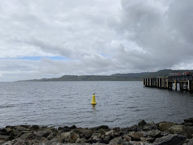
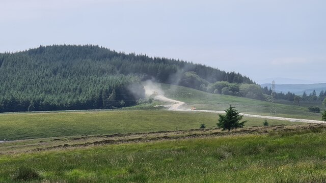
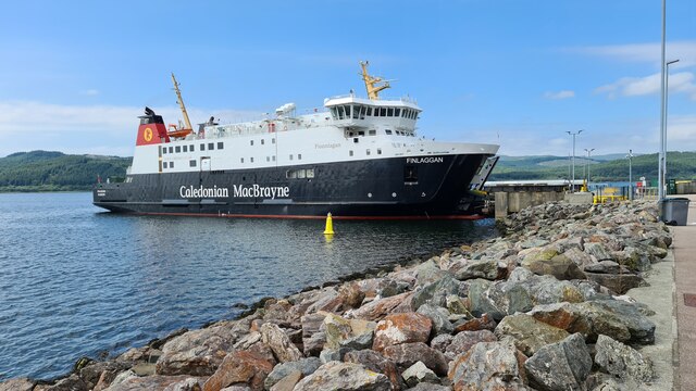
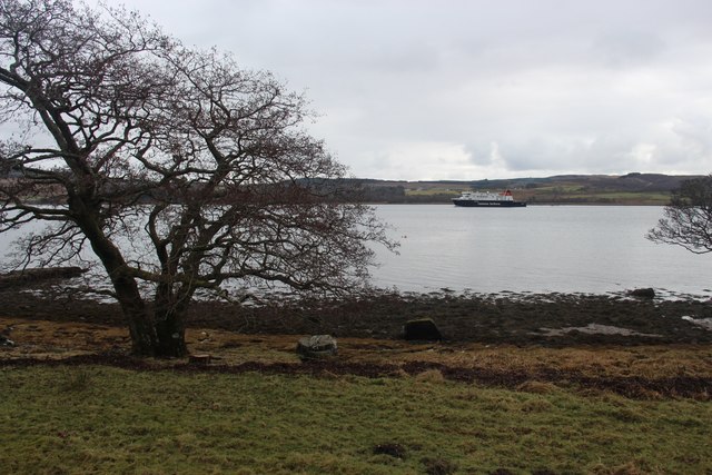
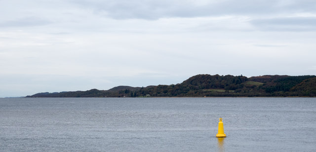
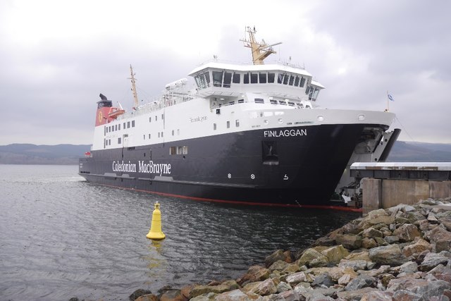
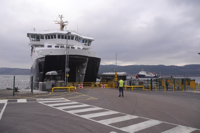
Images are sourced within 2km of 55.798794/-5.48024 or Grid Reference NR8161. Thanks to Geograph Open Source API. All images are credited.


Cnoc Donn is located at Grid Ref: NR8161 (Lat: 55.798794, Lng: -5.48024)
Unitary Authority: Argyll and Bute
Police Authority: Argyll and West Dunbartonshire
What 3 Words
///guests.defensive.gamer. Near Tarbert, Argyll & Bute
Nearby Locations
Related Wikis

Whitehouse, Argyll
Whitehouse (Scottish Gaelic: An Taigh Bàn, pronounced [ən̪ˠ t̪ʰɤj ˈpaːn]) is a hamlet on the Kintyre peninsula of Argyll and Bute, Scotland. It is located...

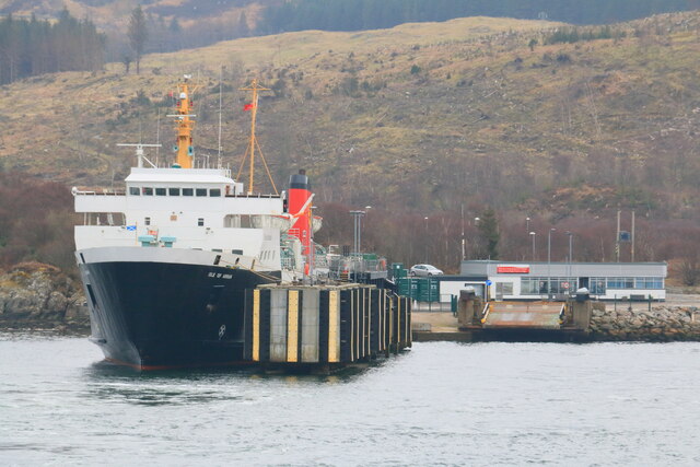
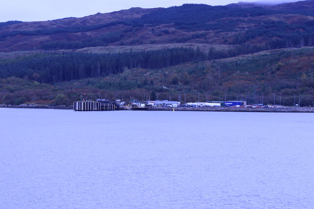
Kennacraig
Kennacraig (Scottish Gaelic: Ceann na Creige) is a hamlet situated on West Loch Tarbert, a five miles (eight kilometres) southwest of Tarbert on the Kintyre...

Eilean Ceann na Creige
Eilean Ceann na Creige is a small island near Kennacraig in West Loch Tarbert in Scotland. Ceann na Creige is Gaelic for head of the rock.Eilean Ceann...

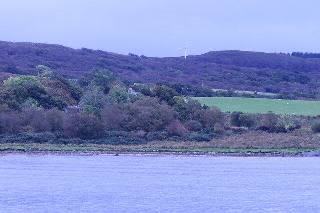
West Loch Tarbert, Argyll
West Loch Tarbert, Argyll is a long and narrow sea loch on the western side of the Kintyre peninsula in Scotland. == Geography == The head of the loch...
Nearby Amenities
Located within 500m of 55.798794,-5.48024Have you been to Cnoc Donn?
Leave your review of Cnoc Donn below (or comments, questions and feedback).