Gaunts

Settlement in Dorset

England

Gaunts

Rolling farmland near Hinton Parva Farmland to the east of the hamlet of Hinton Parva.
Rolling farmland near Hinton Parva Credit: Peter Kazmierczak

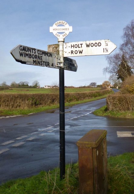
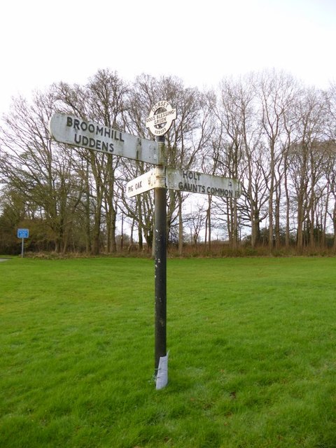
Gaunts is a small village located in the county of Dorset, England. Situated approximately 8 miles north of the town of Wimborne Minster, it is a serene and picturesque village that offers a peaceful retreat from the hustle and bustle of city life.

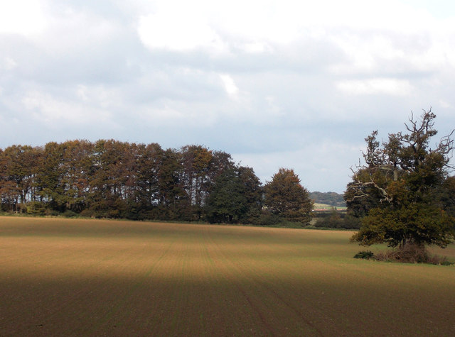
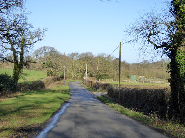
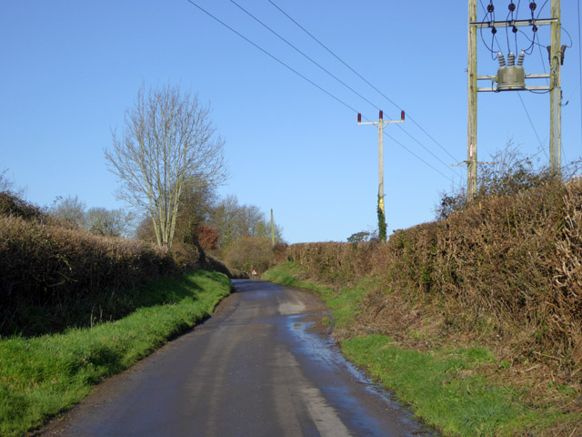
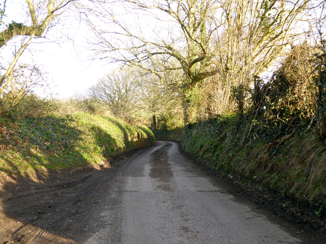
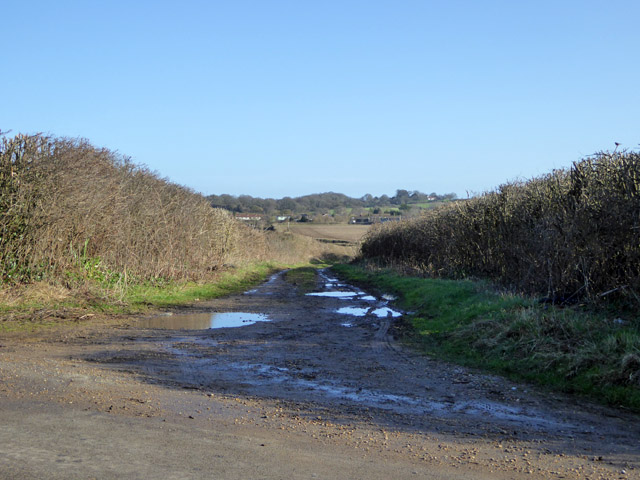
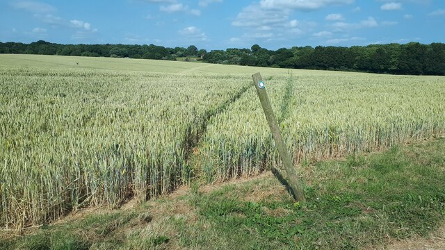
The village is nestled in the heart of the Dorset countryside, surrounded by rolling hills and lush green fields. Its idyllic location makes it a popular destination for nature lovers and outdoor enthusiasts. The nearby Gaunts Common is a designated Site of Special Scientific Interest, boasting a diverse range of flora and fauna.

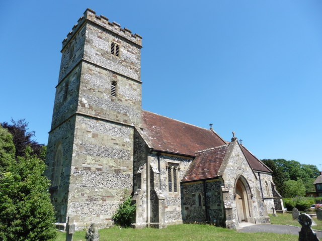
Despite its small size, Gaunts has a rich history that dates back centuries. The village is home to several historic buildings, including the Grade II listed Gaunts House. This Georgian manor house, built in the early 18th century, is now a venue for weddings, conferences, and cultural events.

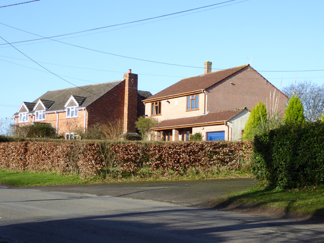
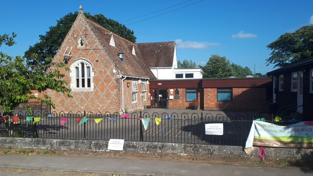
The community in Gaunts is tight-knit and friendly, with a strong sense of community spirit. The village has a small primary school, providing education for local children. There are also a few local businesses, including a cozy village pub and a farm shop that sells locally sourced produce.

For those seeking a tranquil and rural escape, Gaunts offers a charming and welcoming atmosphere. Its natural beauty, historic charm, and friendly community make it a hidden gem in the Dorset countryside.

If you have any feedback on the listing, please let us know in the comments section below.
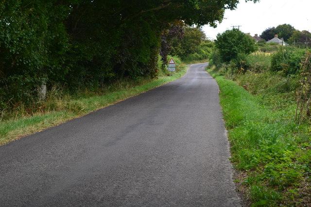
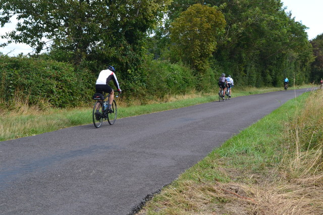
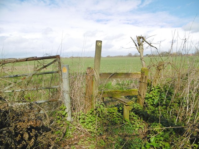
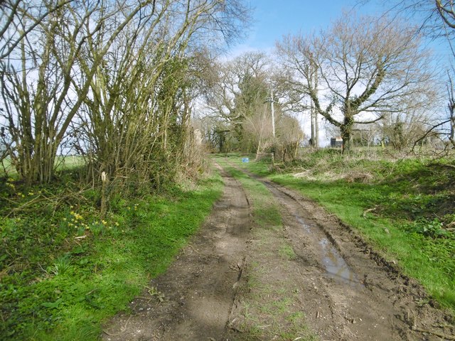
Gaunts Images

Images are sourced within 2km of 50.84149/-1.9737307 or Grid Reference SU0104. Thanks to Geograph Open Source API. All images are credited.

Rolling farmland near Hinton Parva Farmland to the east of the hamlet of Hinton Parva.
Rolling farmland near Hinton Parva
Farmland to the east of the hamlet of Hinton Parva.
Lodge Road Heading towards Gaunt's Common.
Lodge Road
Heading towards Gaunt's Common.
Houses on Petersham Lane, Gaunt's Common The last houses going south.
Houses on Petersham Lane, Gaunt's Common
The last houses going south.
Woodcutts Lane Heading towards Witchampton.
Woodcutts Lane
Heading towards Witchampton.
Woodcutts Lane Heading towards Witchampton.
Woodcutts Lane
Heading towards Witchampton.
Track towards Hinton Martell The Woodcutts Lane end. It is mapped with some sort of public rights.
Track towards Hinton Martell
The Woodcutts Lane end. It is mapped with some sort of public rights.
Hinton Martell, St John the Evangelist
Old Direction Sign - Signpost in Holt, East Dorset Annulus & bar finial - 3 arms; Dorset halo with NGR by the UC road, in parish of Holt (East Dorset District), Holt, North corner of village green opposite village hall. Holt Lane junction with Hart's Lane.

Surveyed

Milestone Society National ID: DO_SU0203.
Old Direction Sign - Signpost in Holt, East Dorset
Annulus & bar finial - 3 arms; Dorset halo with NGR by the UC road, in parish of Holt (East Dorset District), Holt, North corner of village green opposite village hall. Holt Lane junction with Hart's Lane. Surveyed Milestone Society National ID: DO_SU0203.
Old Direction Sign - Signpost at Horseshoes, Holt parish Annulus and bar finial - 4 arms; Dorset halo with NGR by the UC road, in parish of Holt (East Dorset District), Horseshoes, Uppington, at crossroads UC road to Uppington and Holt.

Surveyed

Milestone Society National ID: DO_SU0206A
Old Direction Sign - Signpost at Horseshoes, Holt parish
Annulus and bar finial - 4 arms; Dorset halo with NGR by the UC road, in parish of Holt (East Dorset District), Horseshoes, Uppington, at crossroads UC road to Uppington and Holt. Surveyed Milestone Society National ID: DO_SU0206A
Old Direction Sign - Signpost by Hart's Lane, God's Blessing Green Annulus and bar finial - 3 arms; Dorset halo with NGR by the UC road, in parish of Holt (East Dorset District), God's Blessing Green, junction of UC road to Pig Oak, on green opposite garden centre.

Surveyed

Milestone Society National ID: DO_SU0303
Old Direction Sign - Signpost by Hart's Lane, God's Blessing Green
Annulus and bar finial - 3 arms; Dorset halo with NGR by the UC road, in parish of Holt (East Dorset District), God's Blessing Green, junction of UC road to Pig Oak, on green opposite garden centre. Surveyed Milestone Society National ID: DO_SU0303
Church of St John the Evangelist, Hinton Martell
Fountain, Hinton Martell
Lane to Hinton Martell
Cyclists on the lane to Hinton Martell
Hinton Martell, stile At the beginning of a path from Woodcutts Lane across farmland to Gaunt's Common.
Hinton Martell, stile
At the beginning of a path from Woodcutts Lane across farmland to Gaunt's Common.
Hinton Martell, path Path and farmtrack from Woodcutts to Hinton Martell and Chalbury.
Hinton Martell, path
Path and farmtrack from Woodcutts to Hinton Martell and Chalbury.
Footpath through crops near Cutler's Farm
St James' Church of England First School, Gaunt's Common Apostrophe placement as per school website.
St James' Church of England First School, Gaunt's Common
Apostrophe placement as per school website.
Show me another place!

Gaunts is located at Grid Ref: SU0104 (Lat: 50.84149, Lng: -1.9737307)

Unitary Authority: Dorset

Police Authority: Dorset

What 3 Words

///sudden.rejoins.union. Near Ferndown, Dorset
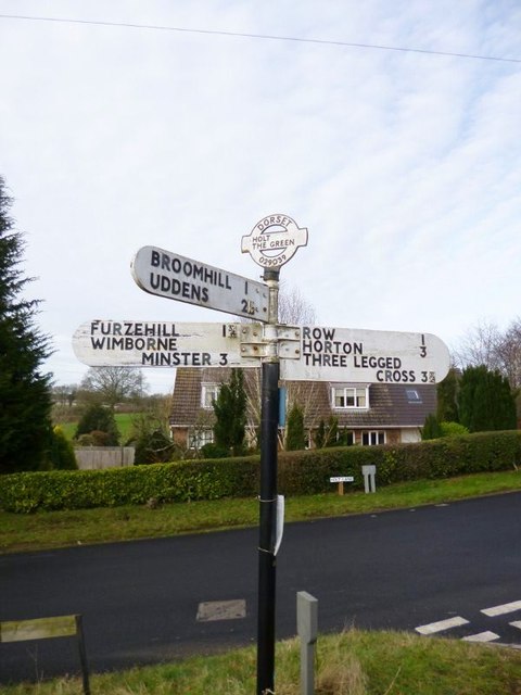
Related Wikis

Holt, Dorset

Holt is a village in east Dorset, England, 2 miles (3.2 km) north of Wimborne Minster. The village had a population of 1,265 in 2001. The electoral ward...

Hinton Martell

Hinton Martell (also known as Hinton Martel) is a village and former civil parish, now in the civil parish of Hinton, in the county of Dorset in southern...

Hinton Parva

Hinton Parva is a hamlet and former civil parish, now in the civil parish of Hinton, in east Dorset, England, three miles north of Wimborne Minster. The...

All Saints' Church, Chalbury

All Saints' Church is a Church of England church in Chalbury, Dorset, England. It has 13th-century origins, with later alterations and additions, and many...

Chalbury

Chalbury is a village in the English county of Dorset. It lies on the southern edge of Cranborne Chase within the East Dorset administrative district of...

Badbury Hundred

Badbury Hundred was a hundred in the county of Dorset, England, which took its name from the earthwork of Badbury Rings. It contained the following parishes...

East Dorset

East Dorset was a local government district in Dorset, England. Its council met in Wimborne Minster between 2016 and 2019.The district (as Wimborne) was...

Furzehill Wood

Furzehill Wood is a woodland near Colehill in Dorset, England. It covers a total area of 0.84 hectares (2.08 acres). It is owned and managed by the Woodland...

Nearby Amenities

Located within 500m of 50.84149,-1.9737307
Post Box
Description: By entrance to Gaunts House.
Post Box Type: wall
Ref: BH21 40
Ref GB Uprn: 10015372718
Royal Cypher: GR
Royal Cypher Wikidata: Q33102273
Lat/Long: 50.838467/-1.974363
Holt United FC
Leisure: pitch
Sport: soccer
Lat/Long: 50.8414834/-1.973095
Power: pole
Source: bing
Lat/Long: 50.8429012/-1.9795118
Poles: bipole
Power: pole
Source: bing
Lat/Long: 50.8421648/-1.9779957
Power: pole
Source: bing
Lat/Long: 50.8426874/-1.9789516
Power: pole
Source: bing
Lat/Long: 50.842255/-1.978329
Power: pole
Source: bing
Lat/Long: 50.8416563/-1.9772226
Poles: bipole
Power: pole
Source: bing
Lat/Long: 50.84105/-1.9761309
Power: pole
Source: bing
Lat/Long: 50.8403801/-1.9741166
Power: pole
Source: bing
Lat/Long: 50.8416428/-1.9770442
Power: pole
Source: bing
Lat/Long: 50.8410838/-1.9760236
Power: pole
Source: bing
Lat/Long: 50.8404732/-1.9742024
Power: pole
Source: bing
Lat/Long: 50.8398457/-1.9725113
Power: pole
Source: bing
Lat/Long: 50.8401667/-1.9732891
Power: pole
Source: bing
Lat/Long: 50.8398609/-1.9723651
Location Transition: yes
Power: pole
Source: bing
Lat/Long: 50.8395501/-1.9714451
Poles: bipole
Power: pole
Source: bing
Lat/Long: 50.8395044/-1.9714867
Power: pole
Source: bing
Lat/Long: 50.8388557/-1.9701576
The data included in this document is from www.openstreetmap.org. The data is made available under ODbL.

Have you been to Gaunts?

Leave your review of Gaunts below (or comments, questions and feedback).