Sweet Apple Copse

Wood, Forest in Dorset

England

Sweet Apple Copse

Rolling farmland near Hinton Parva Farmland to the east of the hamlet of Hinton Parva.
Rolling farmland near Hinton Parva Credit: Peter Kazmierczak

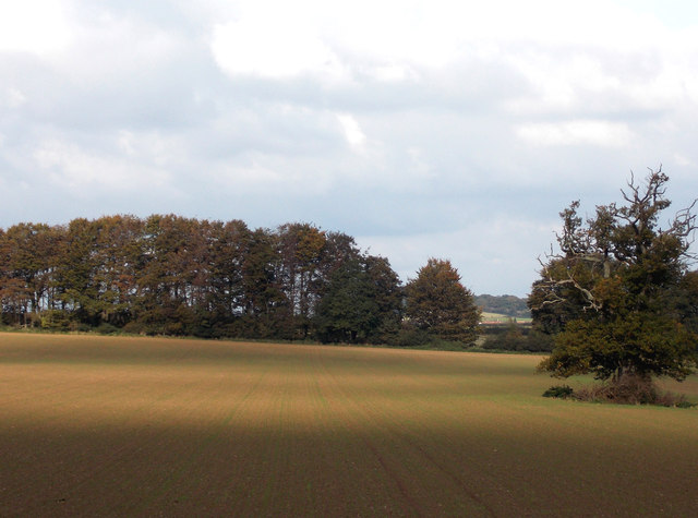
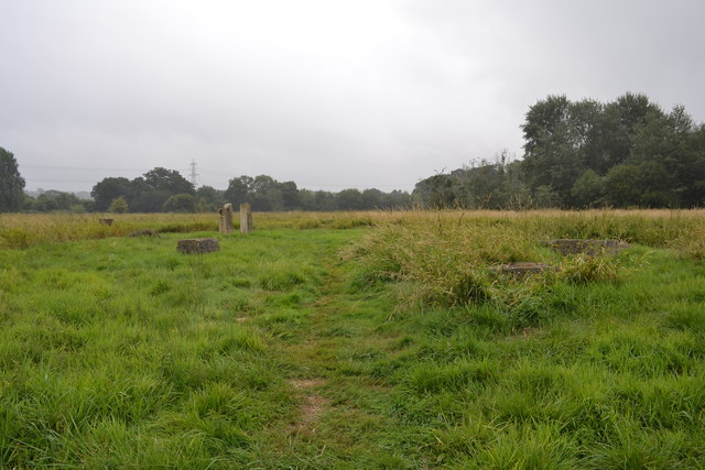
Sweet Apple Copse is a picturesque woodland located in the county of Dorset, England. Situated near the village of Sweet Apple, the copse covers an area of approximately 30 acres and is renowned for its natural beauty and diverse wildlife.

The copse is predominantly composed of deciduous trees, such as oak, beech, and ash, which create a stunning canopy during the summer months. The forest floor is adorned with a rich carpet of bluebells, wild garlic, and ferns, adding to the enchanting atmosphere of the woodland. This lush undergrowth also provides a habitat for a variety of woodland creatures, including deer, foxes, and badgers.

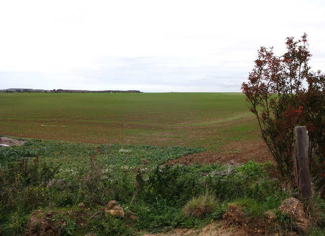
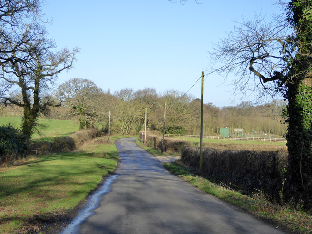
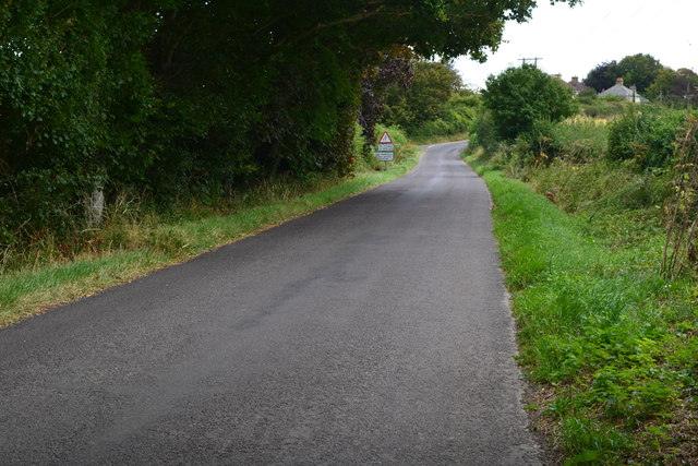
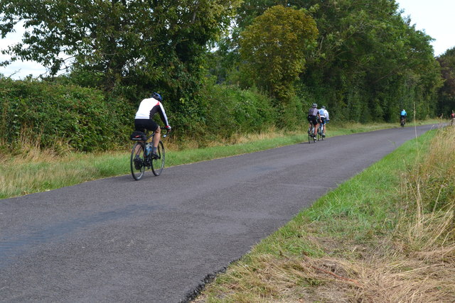
Sweet Apple Copse offers a network of well-maintained footpaths, allowing visitors to explore the area and immerse themselves in its tranquility. The pathways wind through the trees, leading to secluded clearings and small streams that meander through the forest. These streams provide a source of water for a diverse range of flora and fauna, including dragonflies and water voles.

The copse is a popular destination for nature enthusiasts, hikers, and photographers, who are drawn to its natural charm and peaceful ambiance. Birdwatchers also flock to the area, as it is home to a variety of bird species, including woodpeckers, owls, and warblers.

Sweet Apple Copse is a true haven for those seeking solace in nature, offering a tranquil escape from the hustle and bustle of everyday life. With its stunning scenery, abundant wildlife, and well-preserved trails, this woodland gem is a must-visit for anyone exploring the beauty of Dorset.

If you have any feedback on the listing, please let us know in the comments section below.

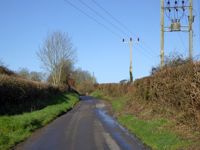
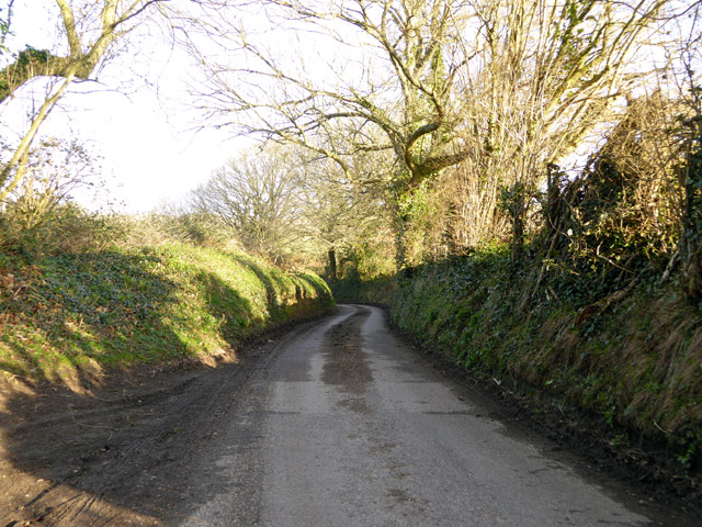
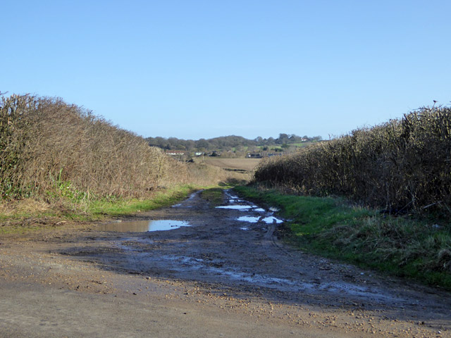
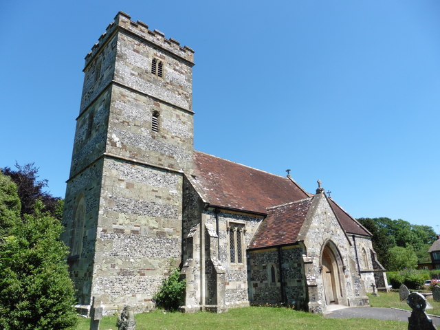
Sweet Apple Copse Images

Images are sourced within 2km of 50.838794/-1.982523 or Grid Reference SU0104. Thanks to Geograph Open Source API. All images are credited.

Rolling farmland near Hinton Parva Farmland to the east of the hamlet of Hinton Parva.
Rolling farmland near Hinton Parva
Farmland to the east of the hamlet of Hinton Parva.
Farmland north of Hinton Parva The open landscape north of Hinton Parva.
Farmland north of Hinton Parva
The open landscape north of Hinton Parva.
River Allen at Fitche's Bridge Looking upstream.
River Allen at Fitche's Bridge
Looking upstream.
Lane from King Down to Clapgate Nobody seems to have let on what this lane is called.
Lane from King Down to Clapgate
Nobody seems to have let on what this lane is called.
Lodge Road Heading towards Gaunt's Common.
Lodge Road
Heading towards Gaunt's Common.
Houses on Petersham Lane, Gaunt's Common The last houses going south.
Houses on Petersham Lane, Gaunt's Common
The last houses going south.
Woodcutts Lane Heading towards Witchampton.
Woodcutts Lane
Heading towards Witchampton.
Woodcutts Lane Heading towards Witchampton.
Woodcutts Lane
Heading towards Witchampton.
Track towards Hinton Martell The Woodcutts Lane end. It is mapped with some sort of public rights.
Track towards Hinton Martell
The Woodcutts Lane end. It is mapped with some sort of public rights.
Hinton Martell, St John the Evangelist
Meadows Near The River Allen These fields are on the west side of the river just north of High Hall.
Meadows Near The River Allen
These fields are on the west side of the river just north of High Hall.
The Baker's Dozen A modern stone circle that has been constructed on Honeybrook Farm Park
The Baker's Dozen
A modern stone circle that has been constructed on Honeybrook Farm Park
Old Direction Sign - Signpost in Holt, East Dorset Annulus & bar finial - 3 arms; Dorset halo with NGR by the UC road, in parish of Holt (East Dorset District), Holt, North corner of village green opposite village hall. Holt Lane junction with Hart's Lane.

Surveyed

Milestone Society National ID: DO_SU0203.
Old Direction Sign - Signpost in Holt, East Dorset
Annulus & bar finial - 3 arms; Dorset halo with NGR by the UC road, in parish of Holt (East Dorset District), Holt, North corner of village green opposite village hall. Holt Lane junction with Hart's Lane. Surveyed Milestone Society National ID: DO_SU0203.
Old Bridge Marker on Fitche's Bridge, west of Clapgate Bridge Weight Plate by the UC road, in parish of Pamphill (East Dorset District), Fitche's Bridge, mid-bridge.

Inscription reads:- : NOTICE / TO OWNERS AND DRIVERS / OF TRACTION ENGINES / THIS BRIDGE IS INSUFFICIENT / TO CARRY WEIGHTS BEYOND / THE ORDINARY TRAFFIC OF / THE DISTRICT :
 
Surveyed

Milestone Society National ID: DO_WEIFITbr.
Old Bridge Marker on Fitche's Bridge, west of Clapgate
Bridge Weight Plate by the UC road, in parish of Pamphill (East Dorset District), Fitche's Bridge, mid-bridge. Inscription reads:- : NOTICE / TO OWNERS AND DRIVERS / OF TRACTION ENGINES / THIS BRIDGE IS INSUFFICIENT / TO CARRY WEIGHTS BEYOND / THE ORDINARY TRAFFIC OF / THE DISTRICT : Surveyed Milestone Society National ID: DO_WEIFITbr.
Church of St John the Evangelist, Hinton Martell
Fountain, Hinton Martell
Lane to Hinton Martell
Cyclists on the lane to Hinton Martell
Show me another place!

Sweet Apple Copse is located at Grid Ref: SU0104 (Lat: 50.838794, Lng: -1.982523)

Unitary Authority: Dorset

Police Authority: Dorset

What 3 Words

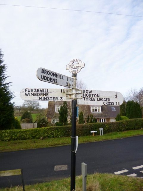
///gossiped.drip.averages. Near Wimborne Minster, Dorset

Related Wikis

Hinton Parva

Hinton Parva is a hamlet and former civil parish, now in the civil parish of Hinton, in east Dorset, England, three miles north of Wimborne Minster. The...

Holt, Dorset

Holt is a village in east Dorset, England, 2 miles (3.2 km) north of Wimborne Minster. The village had a population of 1,265 in 2001. The electoral ward...

Hinton Martell

Hinton Martell (also known as Hinton Martel) is a village and former civil parish, now in the civil parish of Hinton, in the county of Dorset in southern...

Badbury Hundred

Badbury Hundred was a hundred in the county of Dorset, England, which took its name from the earthwork of Badbury Rings. It contained the following parishes...

Nearby Amenities

Located within 500m of 50.838794,-1.982523
Poles: bipole
Power: pole
Source: bing
Lat/Long: 50.8421648/-1.9779957
Power: pole
Source: bing
Lat/Long: 50.8426874/-1.9789516
Power: pole
Source: bing
Lat/Long: 50.842255/-1.978329
Power: pole
Source: bing
Lat/Long: 50.8416563/-1.9772226
Power: pole
Source: bing
Lat/Long: 50.8416428/-1.9770442
The data included in this document is from www.openstreetmap.org. The data is made available under ODbL.

Have you been to Sweet Apple Copse?

Leave your review of Sweet Apple Copse below (or comments, questions and feedback).